From the EBT thread:
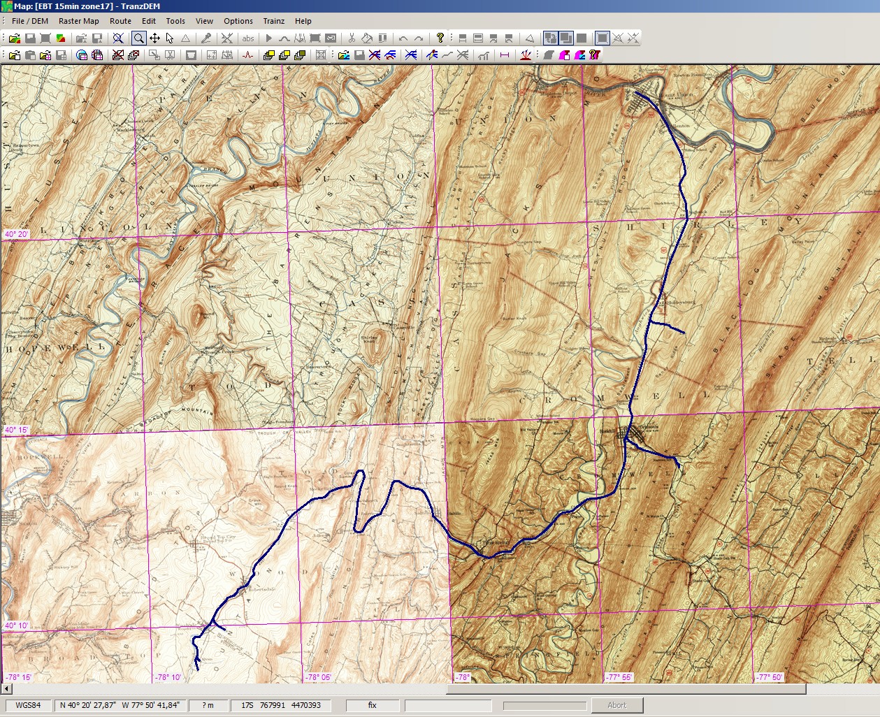
Four historical USGS 15' quadrangles in Pennsylvania: Huntingdon, Mount Union, Broad Top and Orbisonia, from the 1930s and 40s. GeoPDF in Polyconic projection, georeferenced in TransDEM, embedded neatline applied to cut off map collar, converted to UTM zone 17 and joined together as a group. (The 78th meridian is the border between zones 17 and 18):

(Searching the USGS site is a bit difficult as I haven't found an index for the 15' quadrangles. For the 7.5' series I can use the National Map Viewer.)
I just checked the USGS site again. There are 15 deg. topo maps from the 1920's and 1940's which show the EBT trackage. Those map cells are Union City, Orbisonia and Broad Top. The maps do show the mainline trackage, but unfortunately their large scale shows little detail on buildings and sidings, etc.
Four historical USGS 15' quadrangles in Pennsylvania: Huntingdon, Mount Union, Broad Top and Orbisonia, from the 1930s and 40s. GeoPDF in Polyconic projection, georeferenced in TransDEM, embedded neatline applied to cut off map collar, converted to UTM zone 17 and joined together as a group. (The 78th meridian is the border between zones 17 and 18):
(Searching the USGS site is a bit difficult as I haven't found an index for the 15' quadrangles. For the 7.5' series I can use the National Map Viewer.)