Hi Jim,
I thought there was one you can download from the Download Station, but I maybe mistaken. If not you can create one yourself; I know that's not the answer you want to hear, but it's true unless there's one elsewhere, but I've seen no mention of it in the forums which I read quite often during the day, and searching the forums is lousy and doesn't always bring up the results you want. The other thing too is someone may have started the project and let it vaporize, which happens all to often with Trainz routes due to many reasons so in that case too you'll be out of luck.
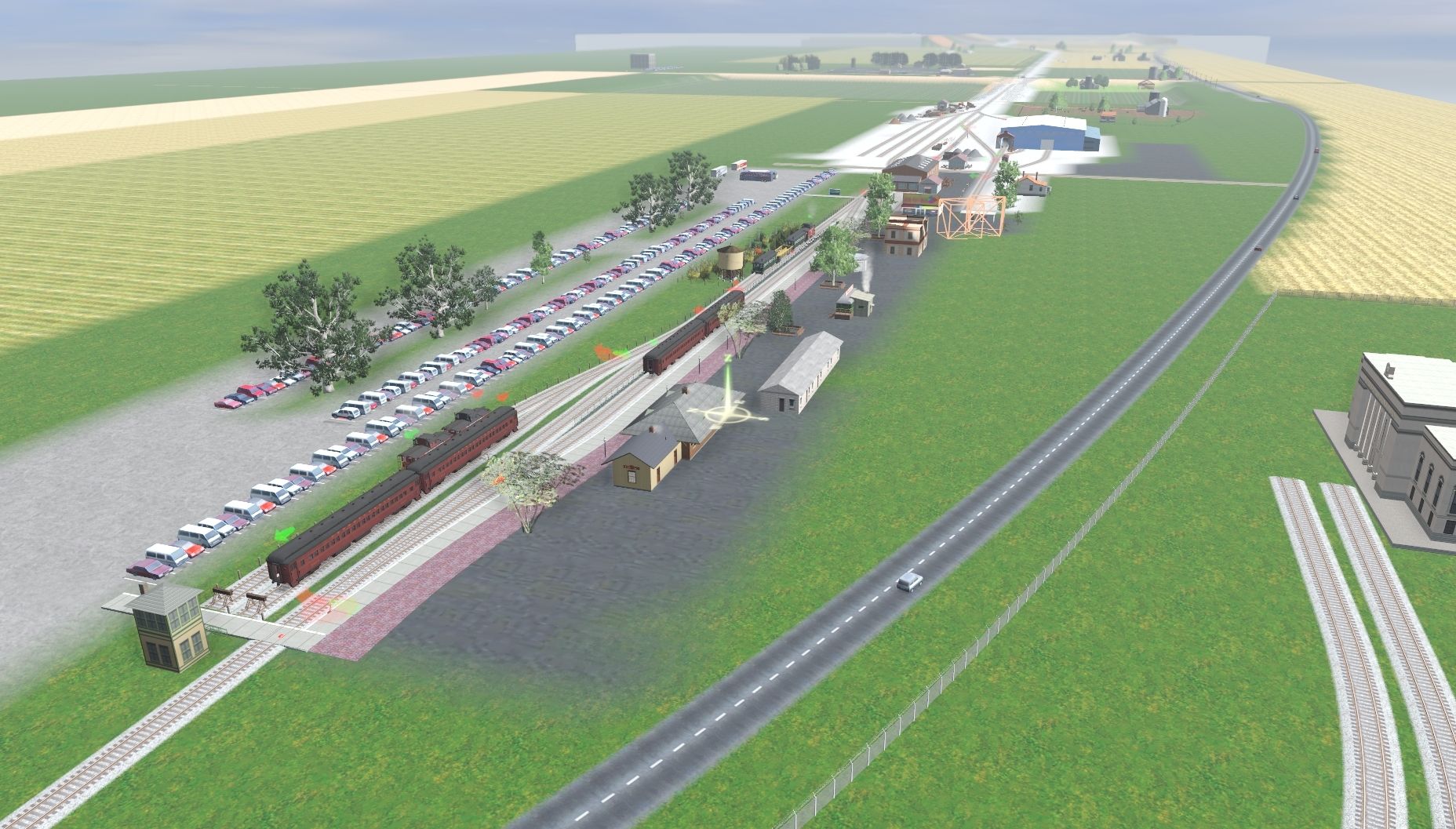
Note creating a good route takes time, but the results can be very rewarding. If you want to go fairly prototypical, check out TransDEM. It's a $25-30 program from fellow Trainzer Roland Ziegler.
http://www.rolandziegler.de/StreckeUndLandschaft/startseiteTransDEMEngl.htm
There's a bit of a learning curve here, but the end results are worth it. With this you can import actual topographic maps, orthographic photos, and the actual DEM data to create the underlying terrain ready for route building. With the group you belong to, this kind of route might be the way to go since the terrain is very noticeable and people do get a kick out of seeing that.
Anyway these DEM files, used in conjunction with historic topographic maps placed in place, will allow you to trace abandoned routes as well, or do as we do and use the DEM data as a basis for our own creations. Okay, I'm getting ahead of myself, but once you use TransDEM, you'll never go back to the "old way" of doing things.
I never saw the other thread...