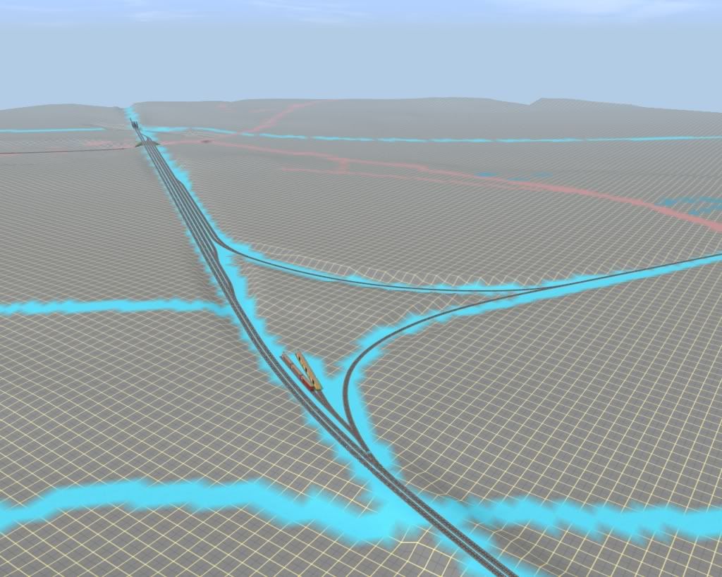
I believe that is plate girder bendy by maddy25 on the DLS but I could be mistaken.
I've been watching this thread for a while now and just wanted to say that this looks excellent. I really like the look and I look forward to more screenshots.
:wave:
Gisa ^^
")
Thanks, and yes it's the plate girder by maddy25.
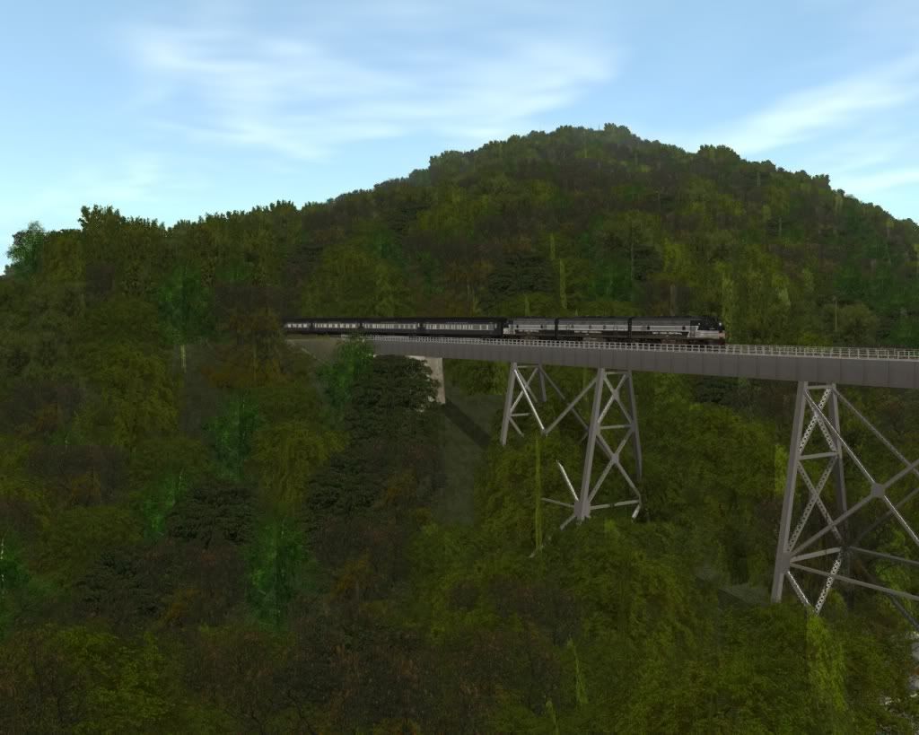
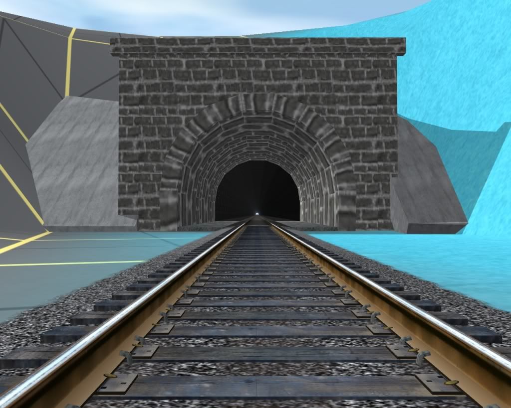
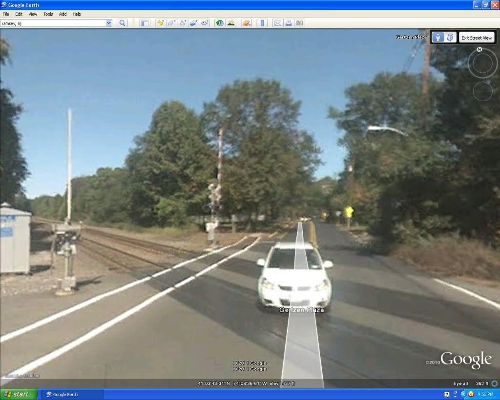
Looking south (can anyone guess where this is at?)...
")

Last edited:
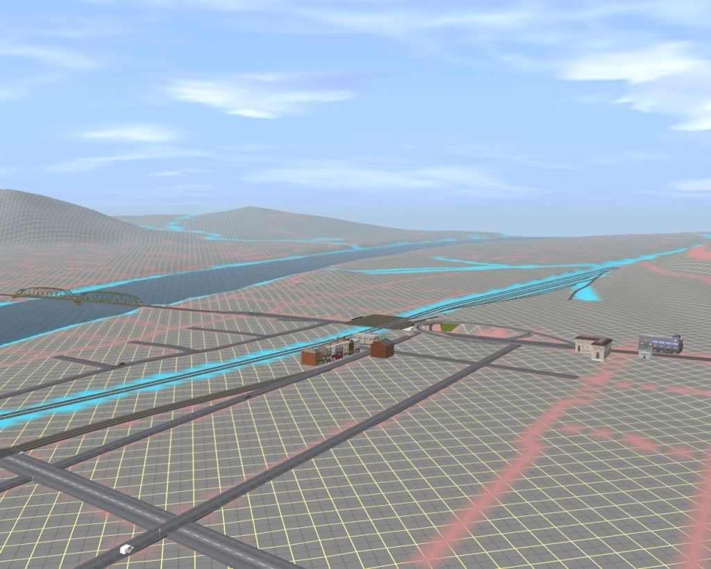
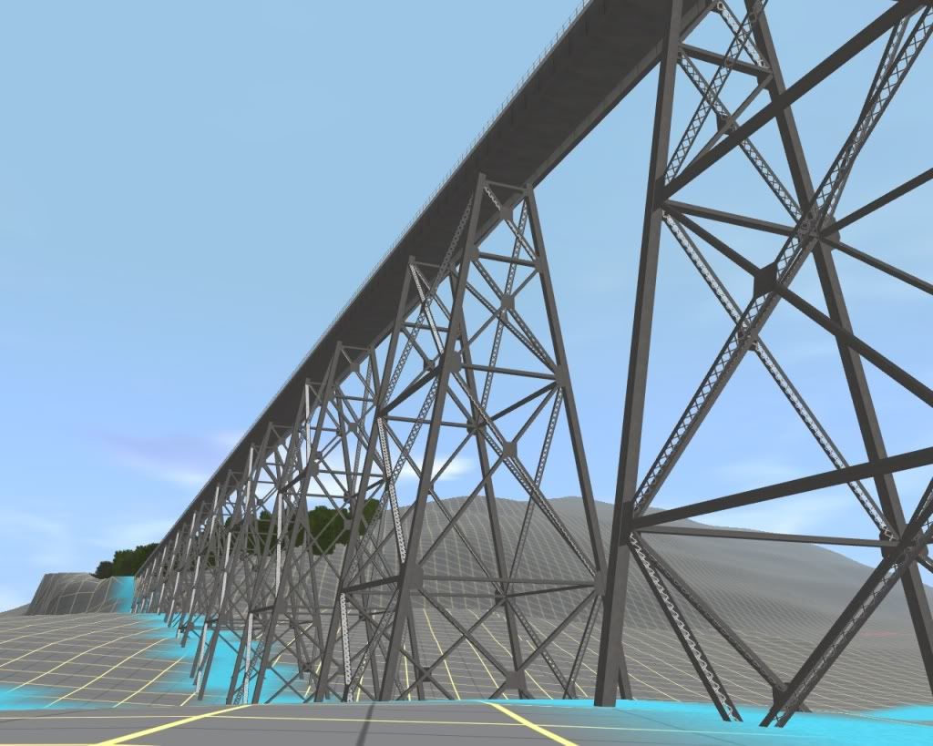
 Ok, so it's not the actual Moodna model, but the style is pretty much the same.
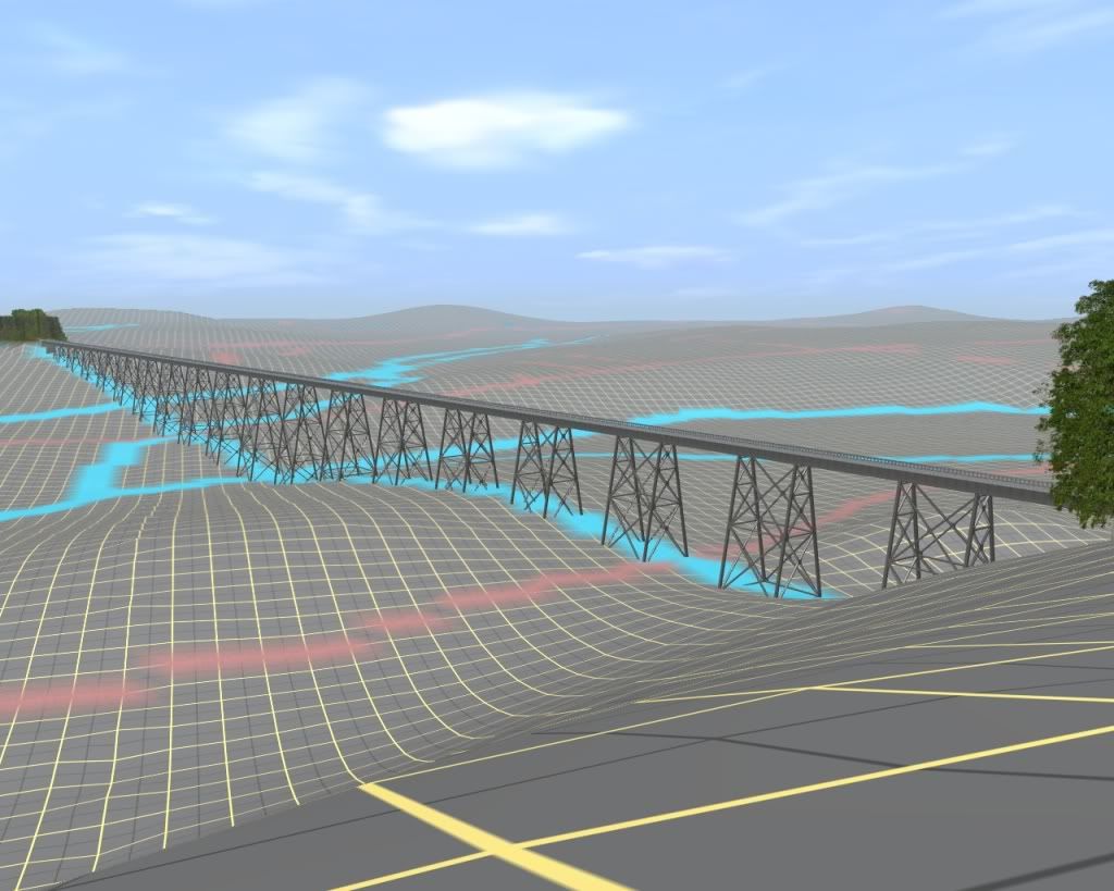
 )...
)...