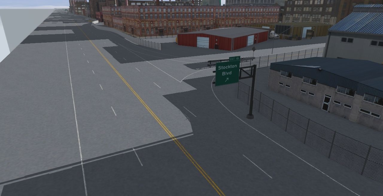
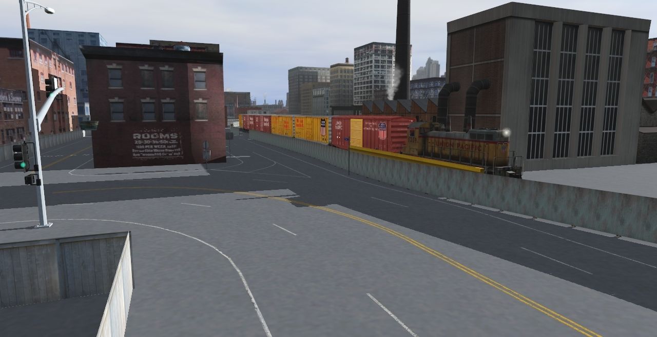
And a traditional busy intersection setup at a crossing:
Now you might be asking why is the closest signal red while the farther signal is still green? This is setup on purpose to prevent new traffic from entering the intersection right before it changes to red. Since the intersection is close to railroad crossing it has an extended green time to allow traffic that didn't stop / passed through during the yellow phrase at the crossing signal to pass through the intersection before it changes to red.
Basically we don't want cars to stop on the railway line while waiting for the signal to change
EDIT: Now that I've replied to you, they're all appearing.
EDIT 2: Where is the prototype for this crossing? I suspect you used ATLS to control the crossings and traffic lights.
I can see them all with Edge, but I have seen sometimes when Edge gets strange. Someone was posting images from Twitter, and for some reason Edge would not display those, but Chrome would.
This is the only picture from your last post that I'm seeing in Microsoft Edge:
EDIT: Now that I've replied to you, they're all appearing.
EDIT 2: Where is the prototype for this crossing? I suspect you used ATLS to control the crossings and traffic lights.
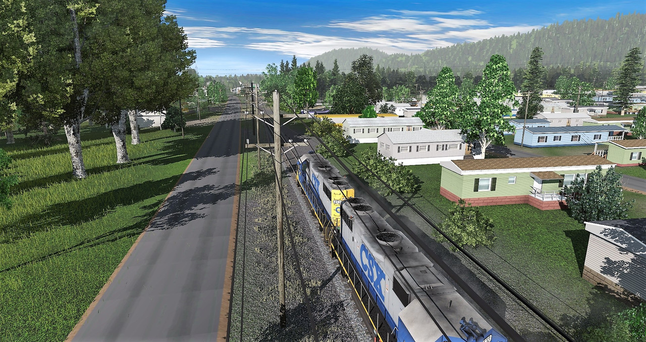
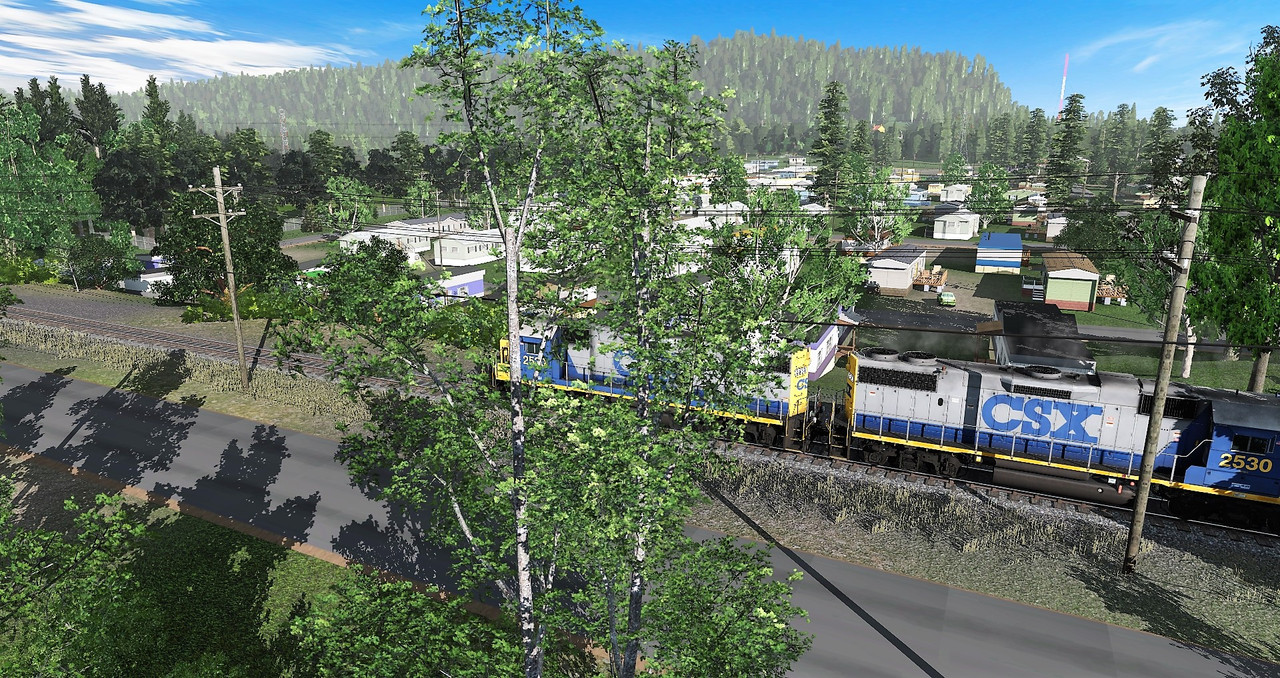
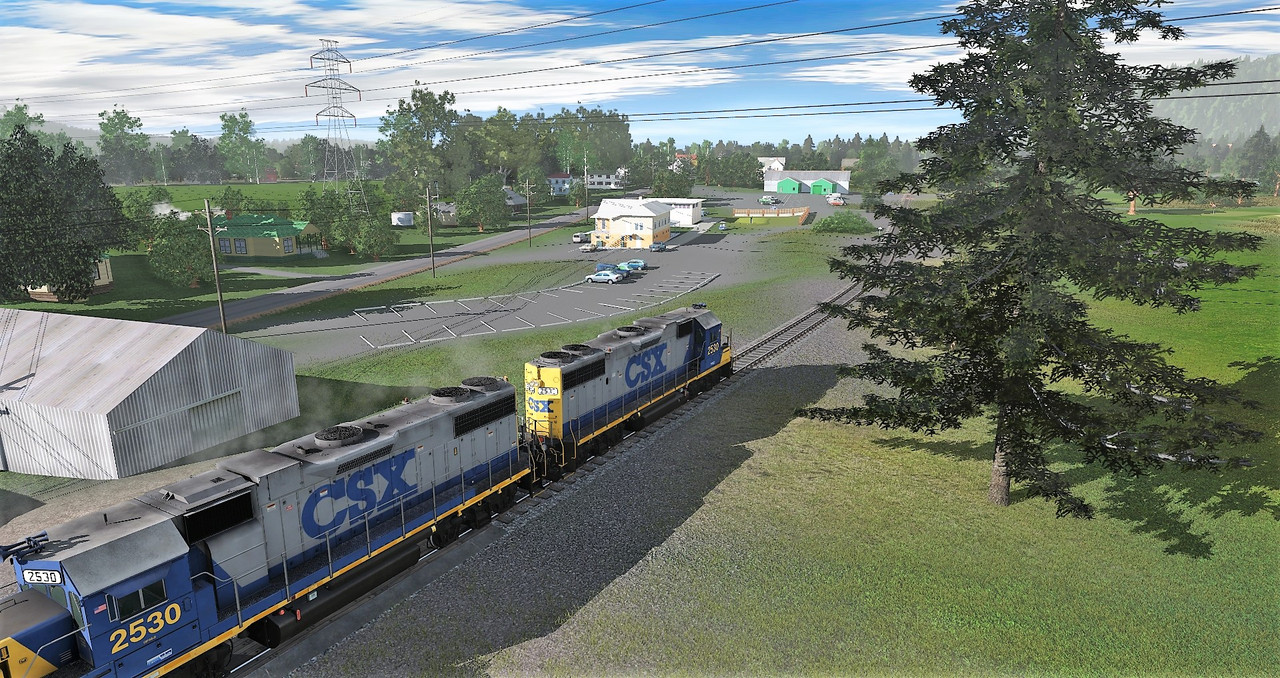
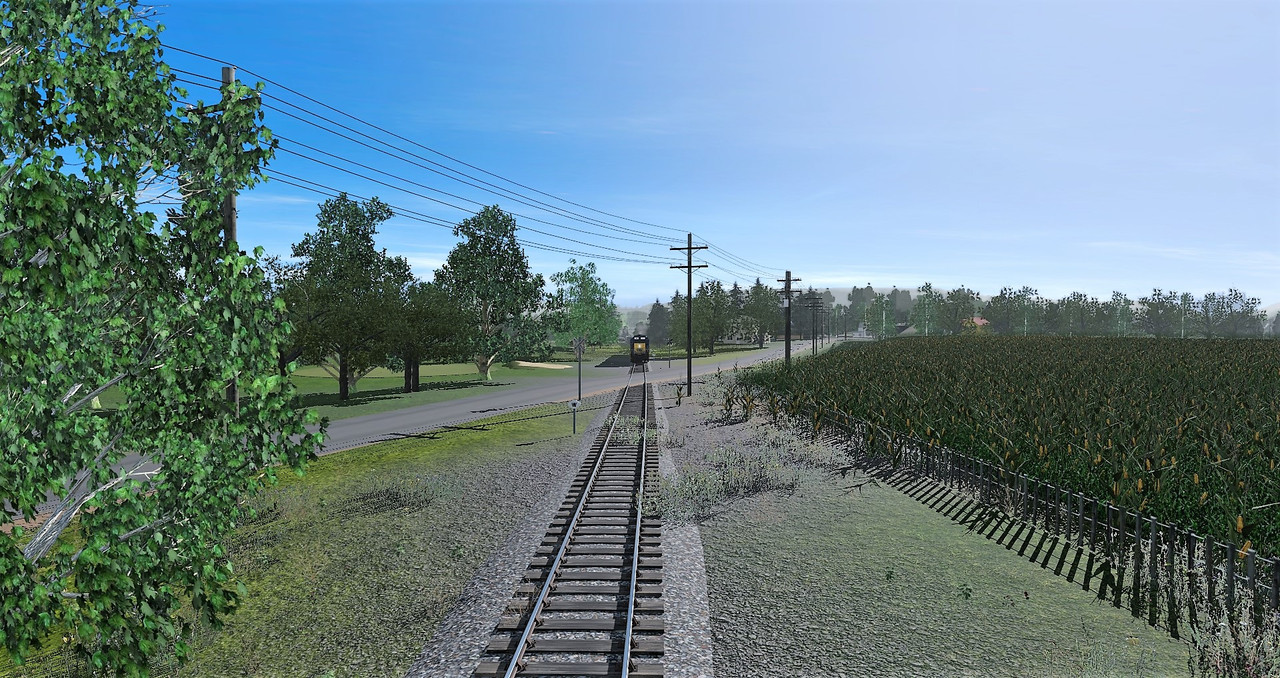
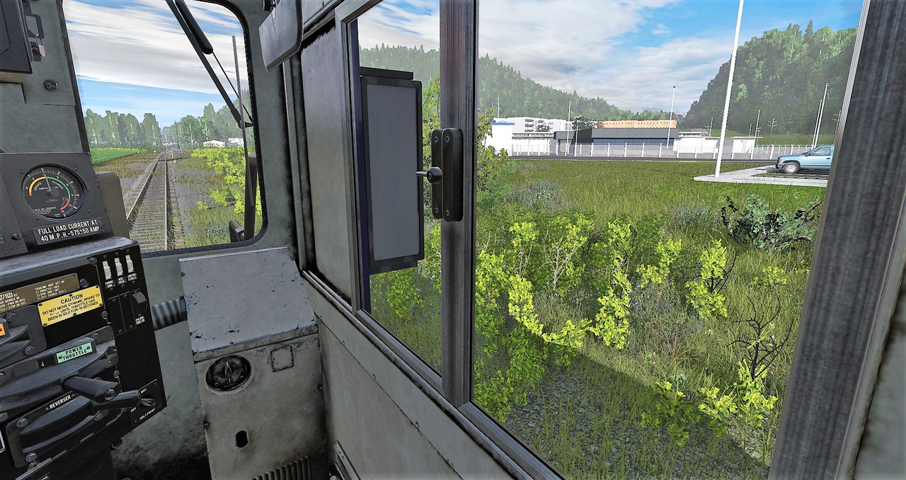
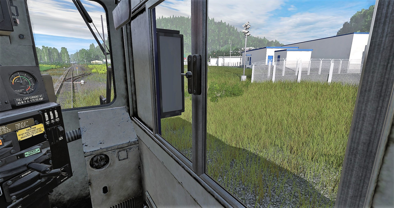
It is indeed alot of work. This route I've decided to make majority of the roads handmade instead of using splines. Only exception will be the bridges high speed roadways like interstates.
Thank you for the kind comments
It is indeed alot of work. This route I've decided to make majority of the roads handmade instead of using splines. Only exception will be the bridges high speed roadways like interstates.
Thank you for the kind comments
I am really enjoying the level of detail in your work and you have inspired me with some of your ideas. Unfortunately, much of the Upstate New York Route I am working on covers secondary roads which do not provide street views in Google Earth/Maps. I really look forward to more of your postings. PS, What image hosting service are you using?
I've ran into a few countyside streets where the Google car didn't went down or went down so far and then turned onto another road. Best thing I can suggest is try to guess the area as best as possible by zooming in as close as possible. It really makes it fun when trying to put the road markings down :hehe:
Image hosting I use is imgur.com - its free and easy to use. Been using it since Hostthenpost.org shutdown back in 2017 IIRC.
-----
Today I've took a break from the route so no new pics from it (can only work on it so much). Tomorrow I should have a few pictures posted.
Bob, give Google Earth a try. It's similar to Google Maps Satellite view, but as you scroll in you can often get a pseudo - 3D look at things and be able to rotate them around a little bit. A bit klugy and low quality, but I have been able to pick up a little more detail of buildings from different angles and what is around them. Worth a shot anyway.
")


")