Andres_Nunez
Buffalonian
Acelejalde your going to make the 2 lines? The (5) from Dyre and the (2) from Wakefield, or just make it like a rush hour (5) from Nereid?
Follow along with the video below to see how to install our site as a web app on your home screen.
Note: This feature may not be available in some browsers.
Acelejalde your going to make the 2 lines? The (5) from Dyre and the (2) from Wakefield, or just make it like a rush hour (5) from Nereid?
I will Be Making The (4)(9) And (1) Lines. It will Include the 242 St yard And UnionPort Yard.
If any of you have these things that i am going to post please tell me the Kuid Number-

I would recommend completing the routes based on connectivity. Several lines share track at one point or another. It would be easiest to start a line from where it diverges from a completed line.

The 4 is not based out of union port Foldak


The problem with that is that it'll soon spiral into building the entire system. For example, you have the Broadway BMT lines, N, Q and R. If we start at their northern terminals, we're all good, since the N/Q share Ditmars and the R is at 71/Forest Hills. But then, I'd have to do the entire QBL, which encompasses the E, F & M as well---which would lead to Jamaica Center and 179 St, and once we get into Manhattan, forget it--all of sudden the sole Broadway lines have become the 6 Av & 8 Av lines--then I'd have to do uptown 8 Av to Inwood, then the B/D to the Bronx, etc. See how it can get really messy? I know some lines aren't like that (the Lexington Av line is the most obvious example).
Not to mention, the immense amount of signalling and such for doing lots of lines at a time can get cumbersome. At least with doing one line at a time, I can go back to previously made lines (like the 5 for example), and have a significant portion of the 2 already done (Bronx & Brooklyn), so the only part that would be needed is the West Side.
In closing, it's just a more efficient way to route build and give you guys what you want--a unique and amazing Trainz experience for the NYCTA that hasn't been seen yet--I like the idea of focusing on one route and getting it as close to realistic as possible.
Now for some announcements and updates:
Fooly--hate to sound rude, but you have to actually read through this thread to find 99% of your answers. Rule of thumb when requesting help, don't ever ever EVER preface your request with "tell me this" or "tell me that"--you'll be labeled rude and a foamer in no time, which isn't what you want. The tracks you referenced in your picture are BStyles' EL tracks, and the link IS on this thread--you just have to put in some effort to find it.
And now for some (5) line updates:
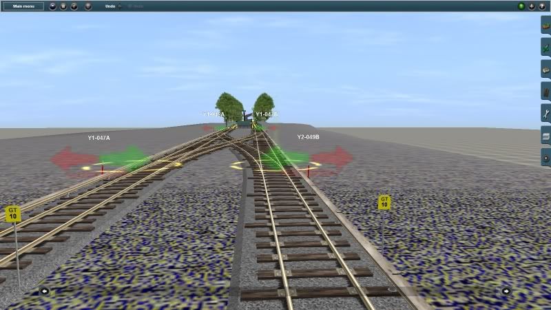
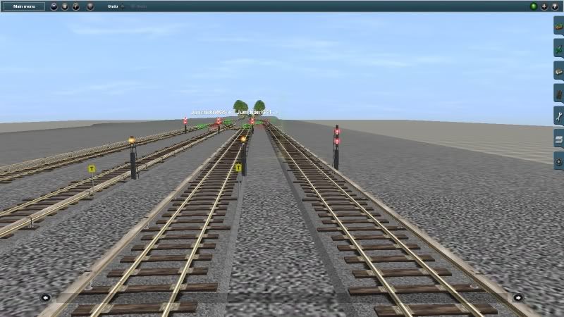
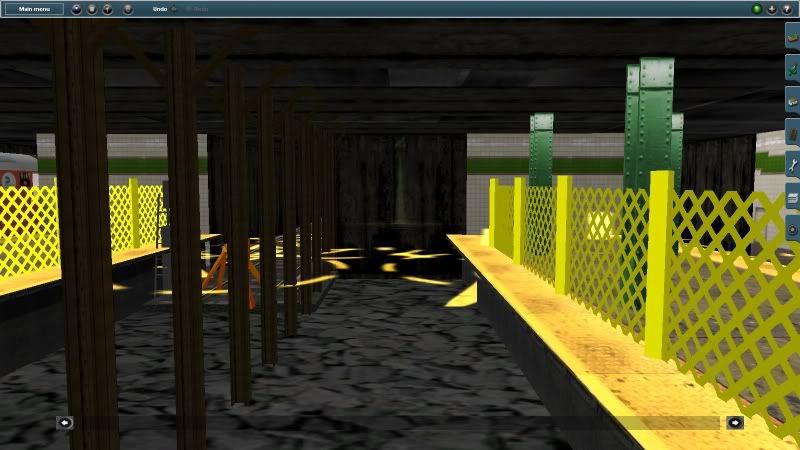
I started the route this morning and have gotten from Dyre Av to Pelham Pkwy. The diagrams have really helped with signal and junction and station spacing (signalling isn't hard since the Dyre line has relatively few). Below are the screenshots and a new way to do the progress map. Rather than doing a full NYCTA map, I've decided to do a strip map. Every time a station is completed, a golden bubble will appear there until the full route is complete. It should also give some answers to exactly what I'll be building.
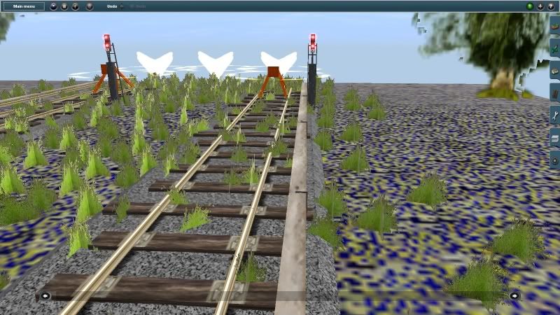
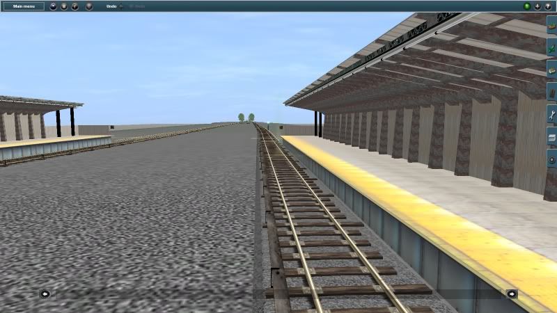
Dyre Av Tailtracks:
Crossovers before Dyre & 4 Track layout:
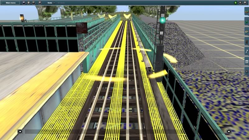
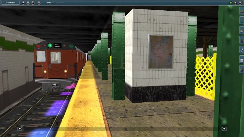
Baychester Av looking north:
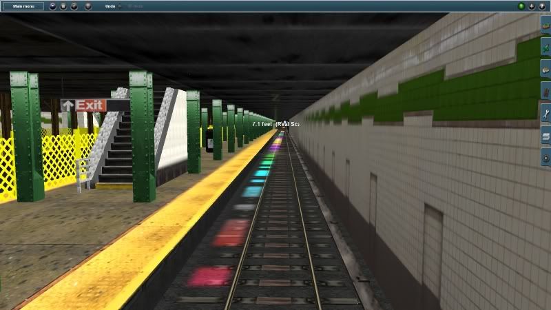
Pelham Pkwy:
And finally, the new way of detailing my progress:
Enjoy!
Where did you get those elevated stations and tracks. Also how do I start a new topic
 Where did you get the r40 slant?
Four questions about that post and The Transit Open House post:
Have you found it (The Brick Engine House) yet? (I'm not being rude, just asking.
Where can you get the scafold?
Where do you get the stairs that go up to the R1?
Where do you get the "No Trespassing" tape?) I will open up a Transit Museum with my favourite NYCTA Subways will be on display the Brick Engine House.
:wave:
And other question:
Where can you download an R-143 and R160?
(Please reply to this post because I'll be needing these answers.)
Thank you,
FC2
tags. Thank you.Also, please 1) don't quote pics, and 2) remember to use the closing


")
