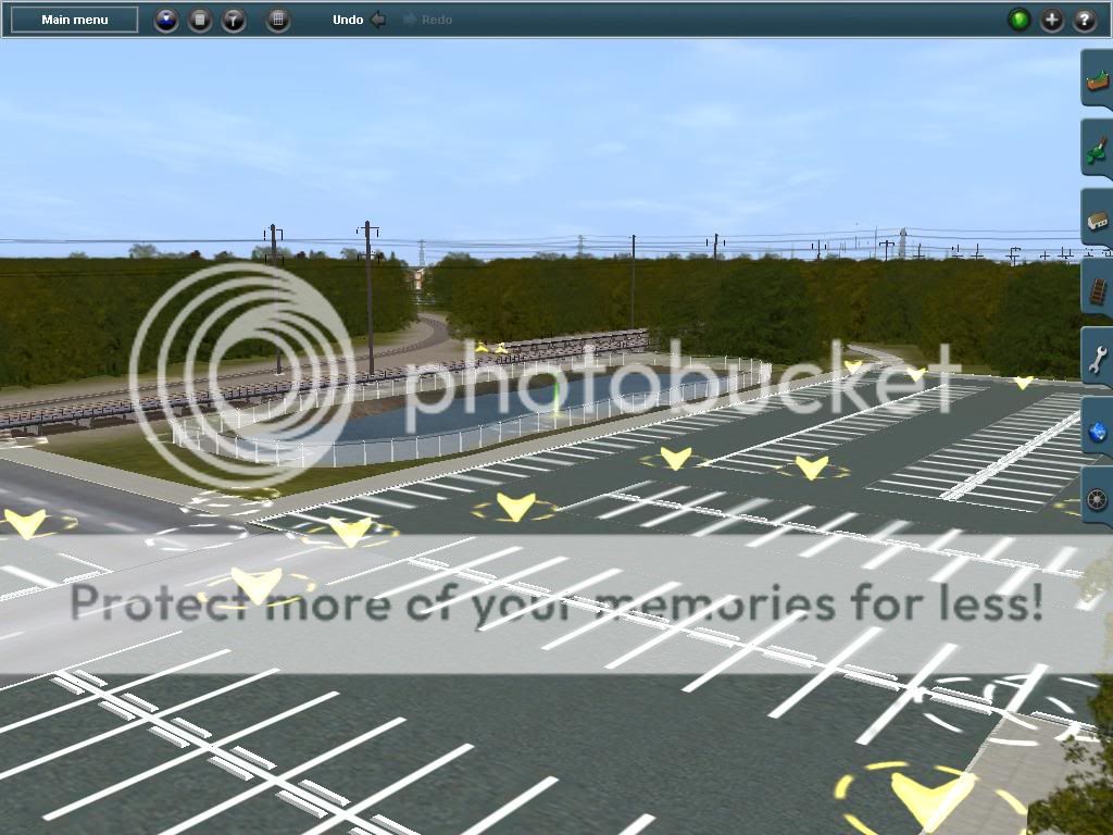
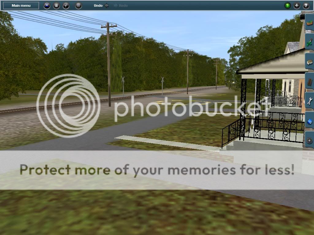
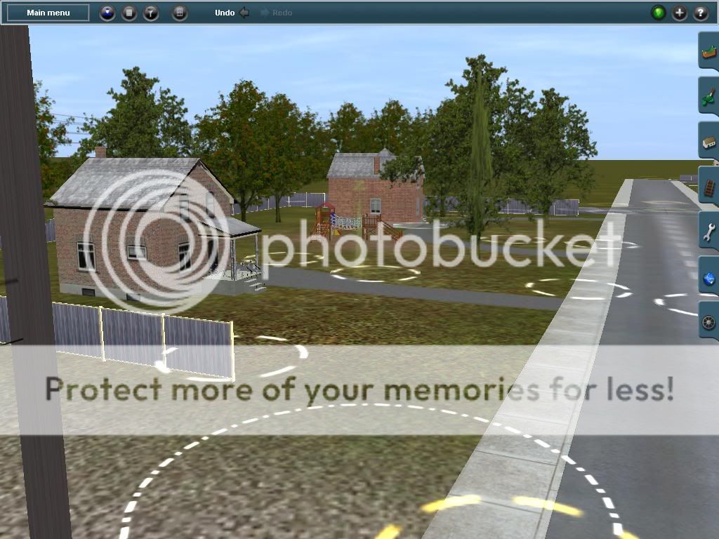
I decided to keep working back up North again. Now working with scenery from Odenton Station to GROVE Interlocking.
A spur off the NEC runs to Natioanl Plastics Co. In the above shot you can see it splitting off the main back into the woods. Here its crossing a private grade crossing:
I'll get back to work now. As always questions and comments are welcomed.

Davis
I've seen that junction by the bowie railmuesum(when I went to the national radio museum my dad decied to take me there or is it the other way round, anyhow that interlocking used to belong the sothern maryland railroad Full descripition here via wiki(Origins
In 1891, Baltimore lawyer (and later Maryland governor)
Edwin Warfield and others organized the
Washington & Chesapeake Beach Railway to connect
Washington, DC with 3,000 acres (12 km²) of virgin bay front property at Fishing Creek where they would build a resort. Their
Chesapeake Beach,
Maryland, resort was to be a vacation spot for the rich and middle class alike, with two grand
hotels, a
boardwalk, racetrack, and amusements. A pier would accommodate Chesapeake Bay excursion
steamers from Baltimore,
Annapolis, and
Eastern Shore points.
[2] In 1894 the W&CBR was granted a
charter to incorporate the Town of Chesapeake Beach. The grand schemes of the W&CBR were never to be implemented, however and the railway was placed in
receivership in 1895.
[3]
A new
company, the Chesapeake Beach Railway Company, took up the idea in 1896. In 1897 Otto Mears was placed in control of the company. He started construction in October 1897 and on April 7, 1898 the
Chesapeake Beach Railway was given the
franchise of the W&CBR.
[2] Mears optimistically anticipated that the railroad would be completed by July 1898. Before it could open, a
draw span bridge over the
Patuxent River would have to built below
Bristol. The Patuxent River being navigable as far north as Bristol had to be left unencumbered to
steamboat traffic. Plans had to be approved by the
US Army Corps of Engineers. A contract to construct the bridge was awarded to the Youngstown Bridge Company and after numerous delays, the bridge was fully operational as of May 1899.
The CBR entered into successful agreements with the
B&O Railroad to extend service from their
Hyattsville station to
Upper Marlboro and on December 5, 1898 the line from Hyattsville to Upper Marlboro was officially opened. By 1899 the line was completed all the way to Chesapeake Beach, but the hotel was not ready, so the eastern leg of the railroad did not open until June 9, 1900.
[3].
[edit] Operations
The line left the District of Columbia at Chesapeake Junction, where Minnesota Avenue NE and Nannie Helen Burroughs Avenue NE meet in the
Deanwood neighborhood, where it met with the
Pennsylvania Railroad. Then it traveled out of the District on the abandoned
right-of-way of the
Southern Maryland Railroad. It exited D.C. at
Seat Pleasant, where it met with the
Washington, Baltimore and Annapolis Railroad at a stop called District Line. From there, it went through
Upper Marlboro, passing over the PRR (Pope creek branch), and then on to Chesapeake Beach.
In the early years, the
fare for the round trip train ride from District Line station to Chesapeake Beach was 50 cents. Express trains took about 60 minutes to make the trip; “locals” took about 90 minutes.
[4]
[edit] Southern Maryland Railroad
The CBR had taken possession of the Southern Maryland Railroad's
railbed in Washington, DC in 1898. The SMR emerged from
bankruptcy in 1901 as the Washington, Potomac & Chesapeake Railway and sued the CBR in 1902, claiming they still owned the railbed. The WP&CR won the case serving as another setback for the CBR.
[5]
[edit] End of the line
The railroad was never financially successful and never paid off any interest on its original one million
dollar mortgage. Starting in 1921, with the construction of
highways throughout the territory,
revenues began to decrease. The destruction of the luxurious Belvedere Hotel by a
fire on March 30, 1923 further limited business. In 1929, under new management, an attempt to rehabilitate the line was made and operations continued with the hope that a new
ferry across the
Chesapeake Bay to a point on Trippe's Bay in
Dorchester County would drive new business. The ferry was blocked by the Claiborne-Annapolis Ferry Company, a competing ferry out of
Annapolis[6] and in 1935,
management decided to replace the railroad with a
bus line. The last train left the station on April 15, 1935.
A small, 2-mile, portion of the track continued as the
East Washington Railway)).


")


")
