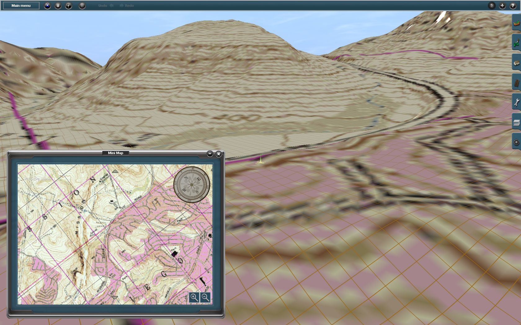
I'm trying to create a route approx. 77 miles long in TransDEM and I want to be able to have a narrowed down route so I need to use a map instead of all vector lines. I still don't understand how fishlipsatwork Paul did it with the colored TIGER lines and the tiles were narrowed down to only so many squares on either side of the rail line while also having road and river lines on the route. If I use the vector data from National Map, with rail, road, and water lines it causes the entire area of DEM to be used in Trainz where the lines cover. That makes the files too large. So, I need to use a map instead of the route lines from National Map, except the rail line route line in order to narrow down the route. But, two sources of maps that work from the WMS, the Microsoft topo maps and satellite imagery have a severe loss of resolution at close range and everything appears choppy, that is the colors that make up the topo or satellite map appear "broken up" and the default terrain grid is visible. That makes it hard to follow roads and rail lines when building at close range. Is there another source of wms maps somewhere that have a higher resolution at close range? Satellite images even. The one source of satellite images from the Microsoft server are poor quality. Thanks, Robert
Good TransDEM wms maps
- Thread starter rwk
- Start date