EBT - South from MT Union to Shirley Clay Spur I
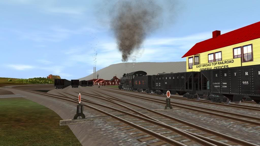
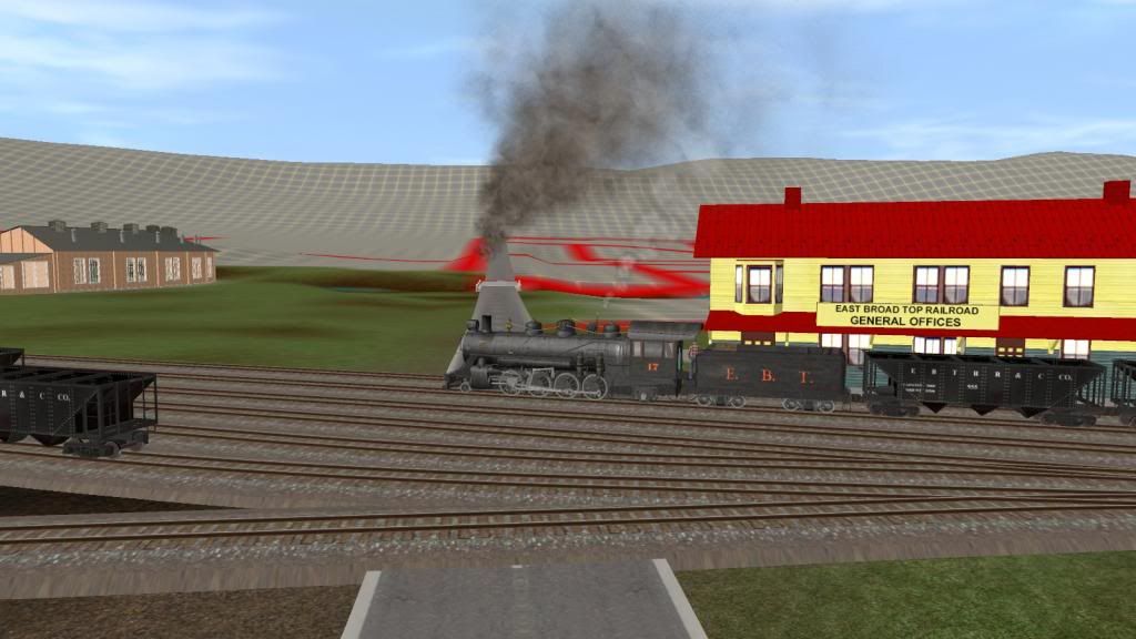
We'll follow Mikado no 17 southbound with 24 mtys and coach no 11 on the rear. The spur track you'll see in the pics at Allenton was actually part the original main line into Mt Union. Dual gauge track ends south of Allenton (called Allenport today) and marks the southern limit of the Mt Union yard tracks. Mikados 16 and 18 running as loaded northbound extras would normally have right of way over no 17 for the 2 meets you'll see but picture taking takes precedence in this case. But 1st a couple of map shots to indicate the route between Mt Union and the Shirley Clay Spur (aka Colgate Grove today):
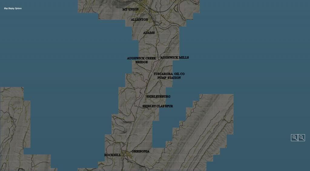
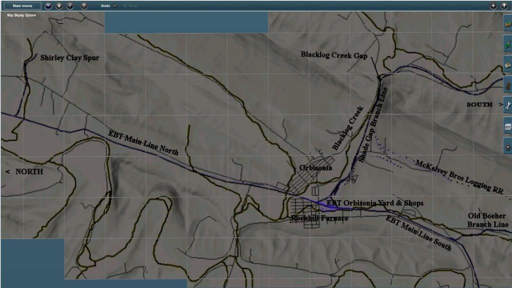
Map showing the route from Mt. Union to Orbisonia, PA. North is to the top of the picture. Scalewise Mt Union to Orbisonia is about 11 miles.
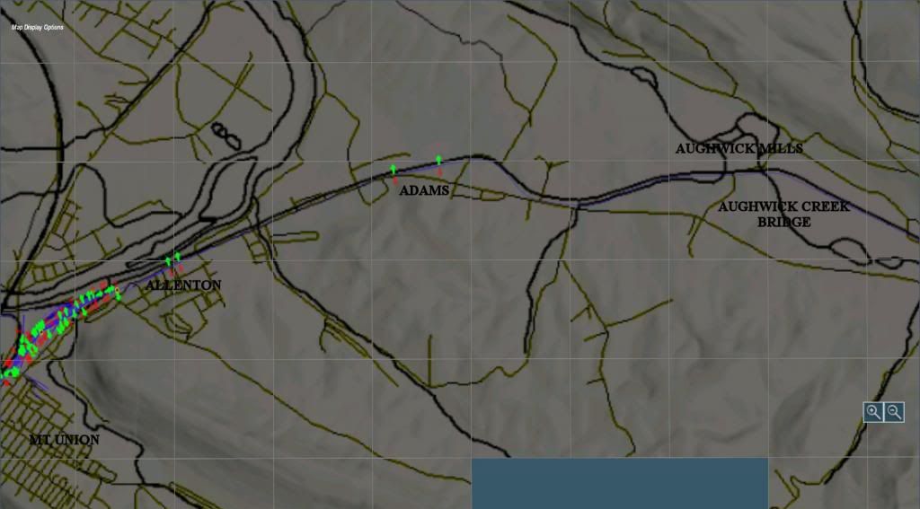
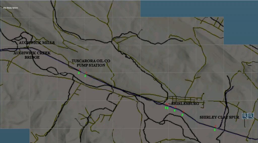
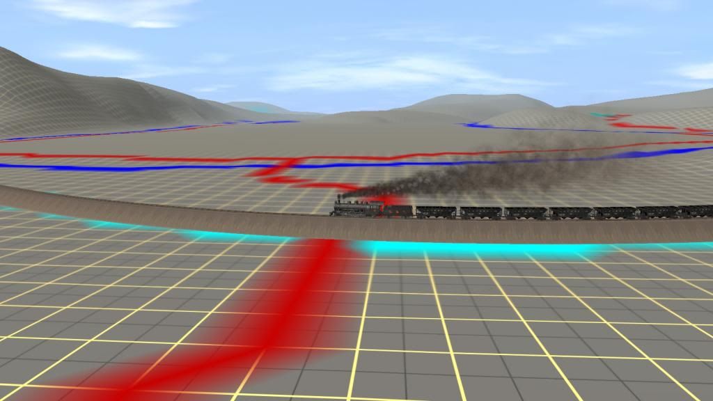
Map is rotated 90 deg here so North is to the left South to the right. This covers the 1st part of the main line track to Aughwick Mills.
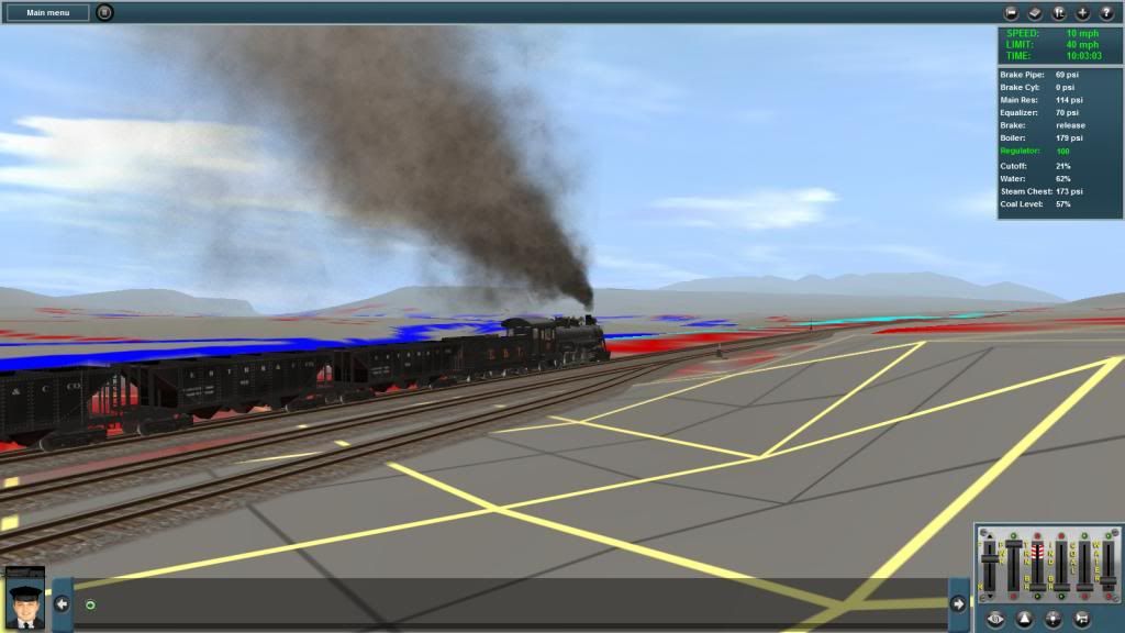
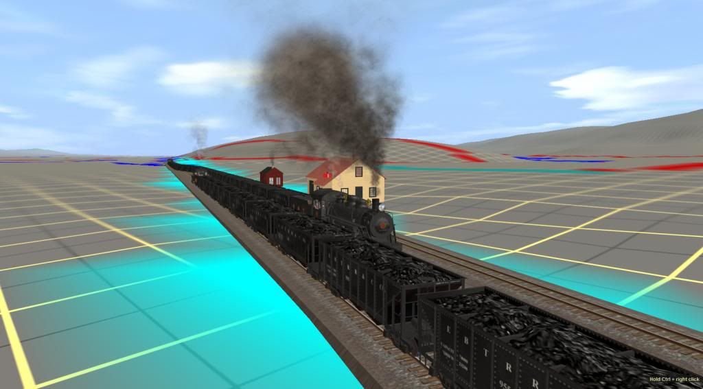
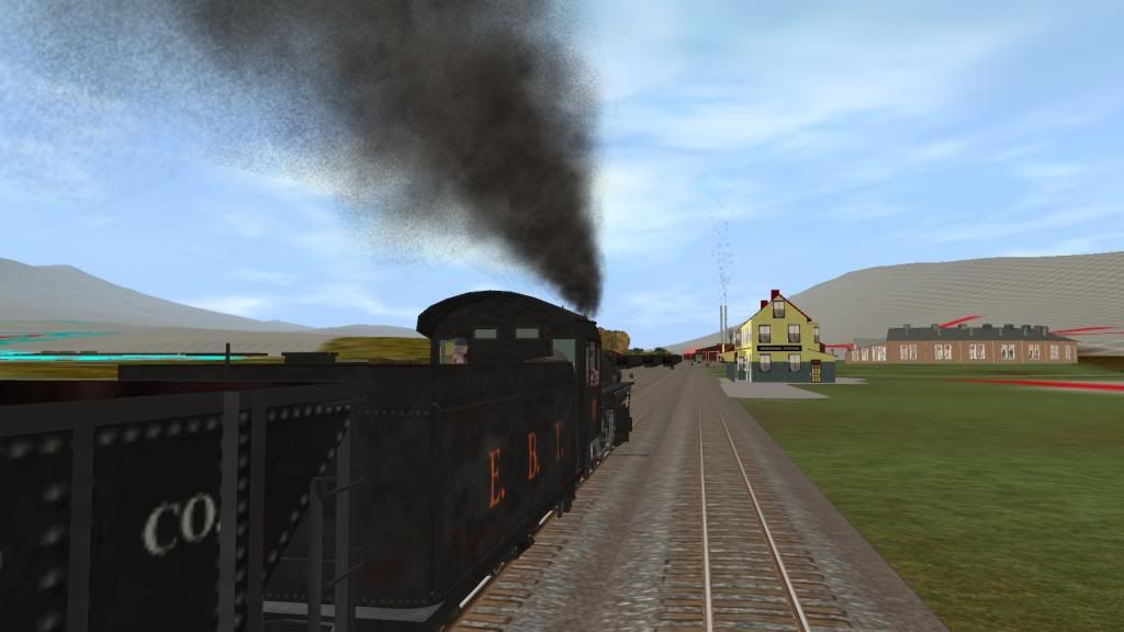
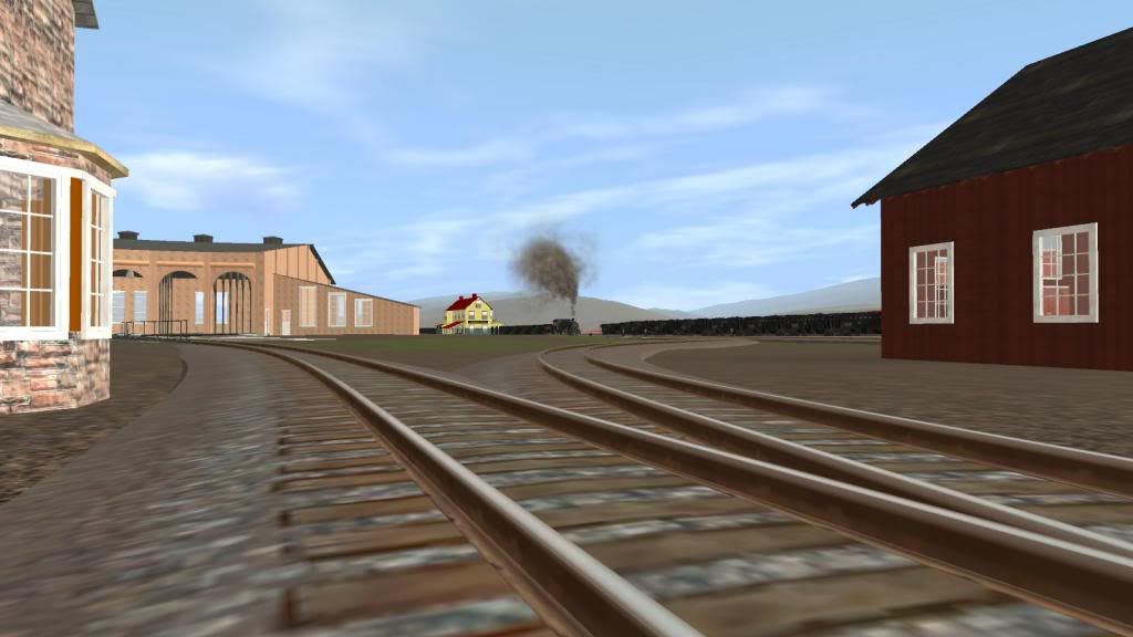
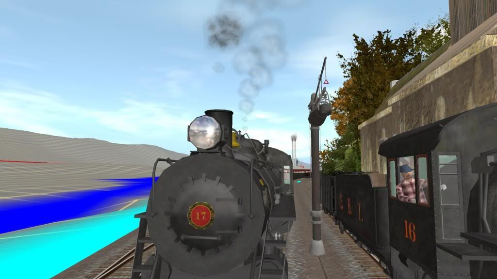
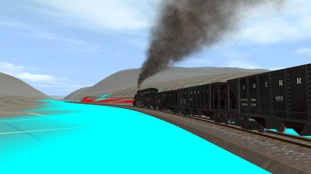
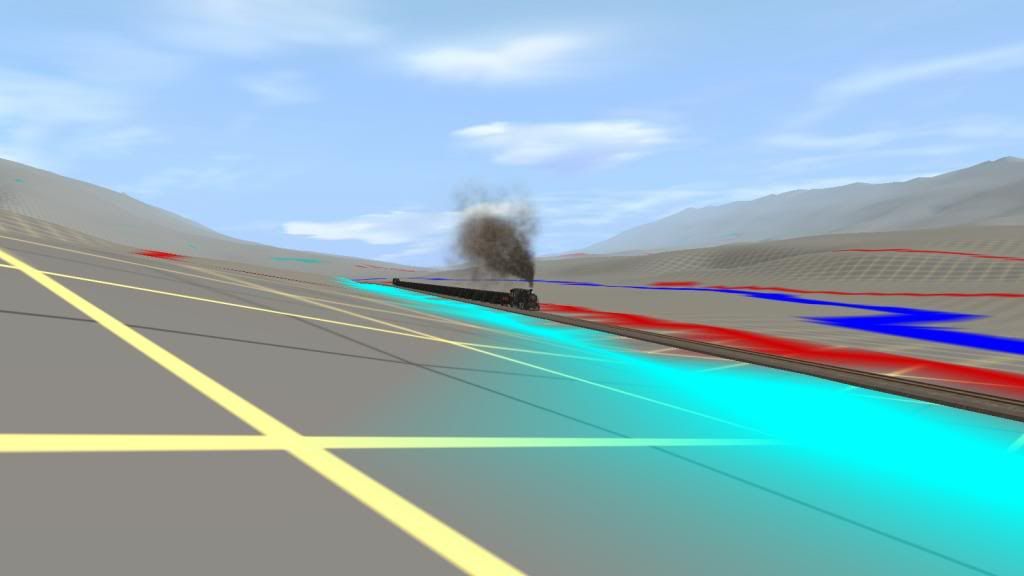
Here's No 17 SB at Allenton
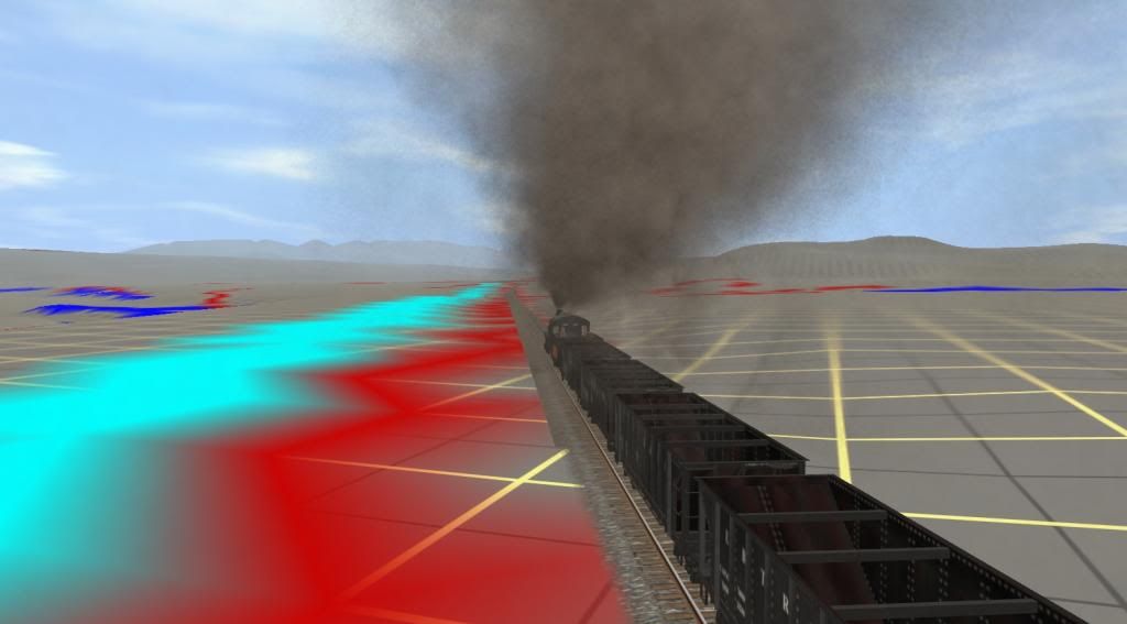
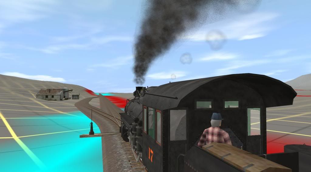
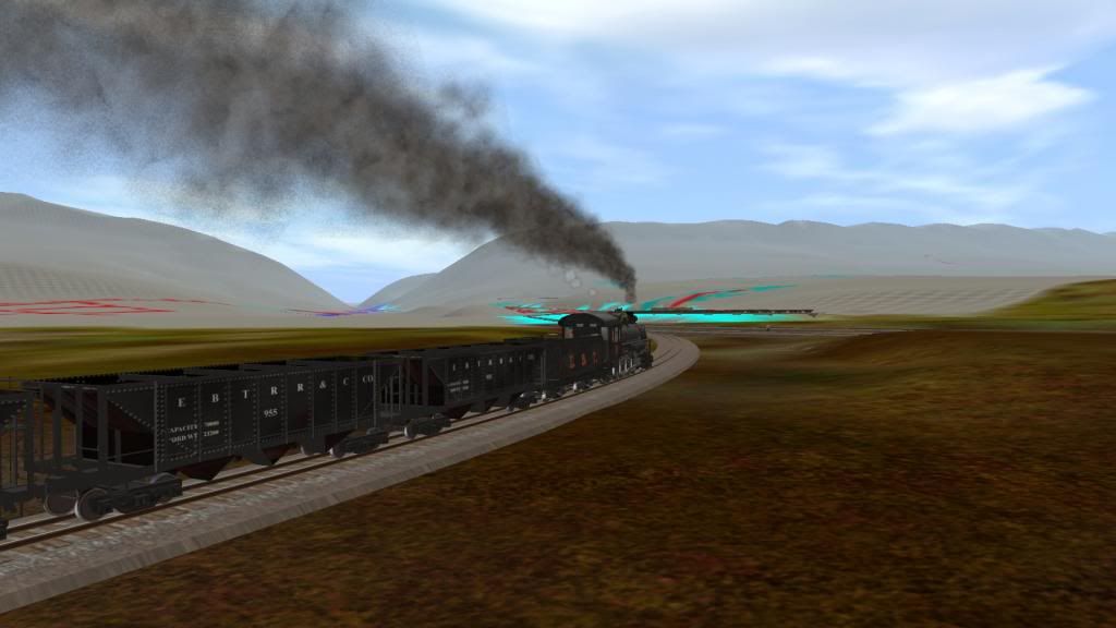
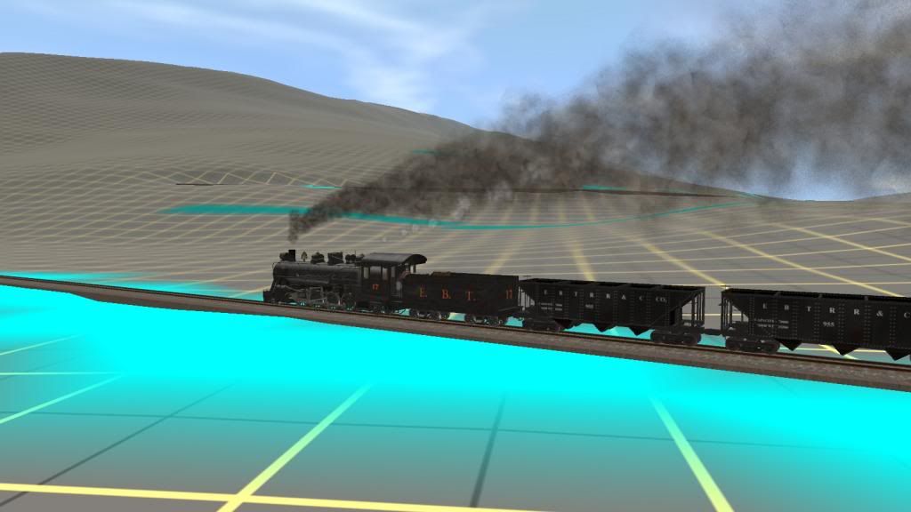
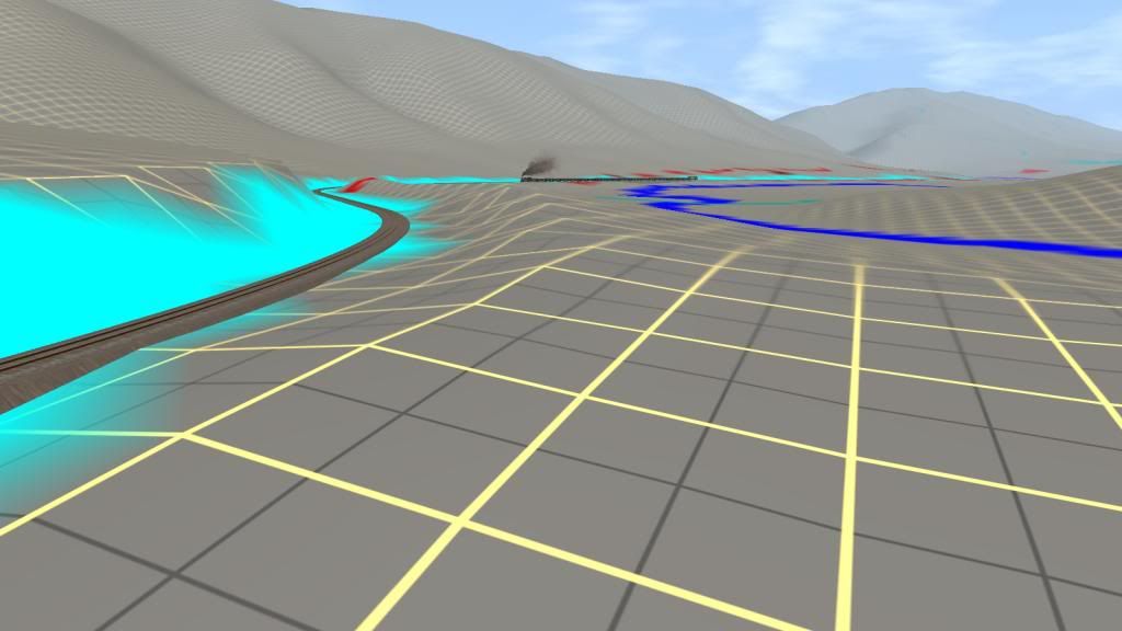
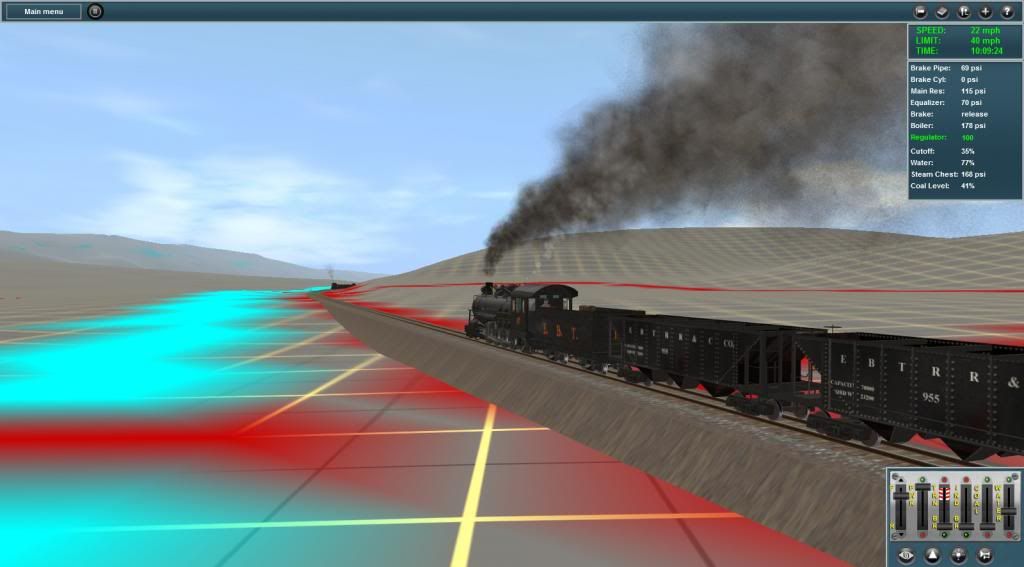
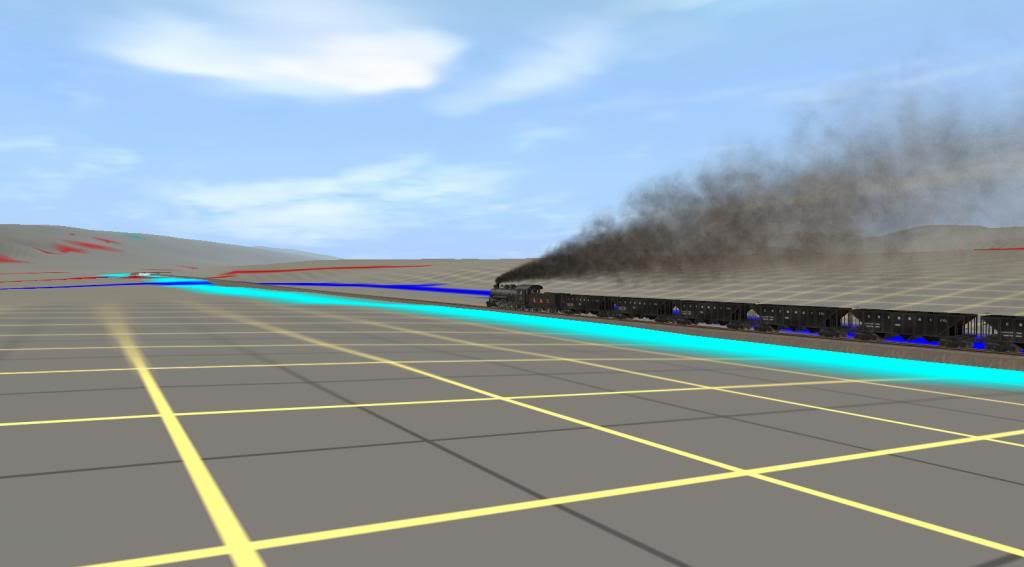
Still on the upgrade towards Adams for the meet with No 18.
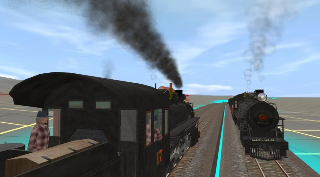
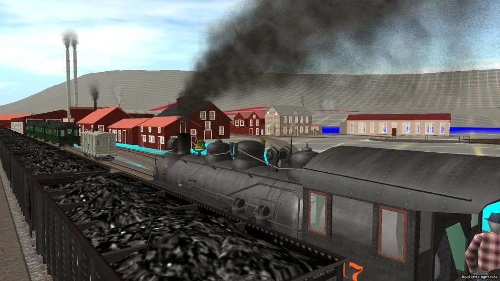
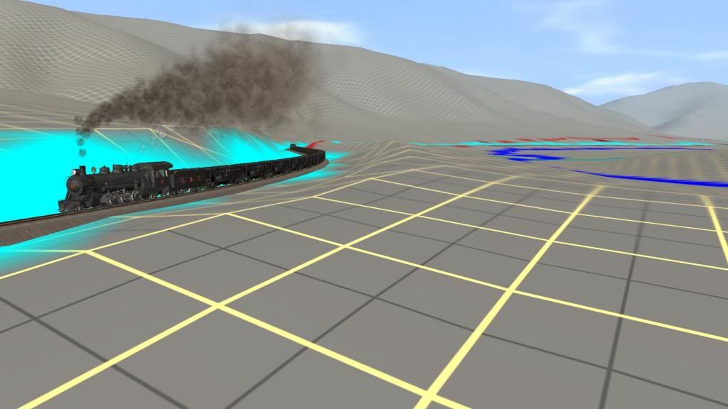
Following pics show the meet at Adams:
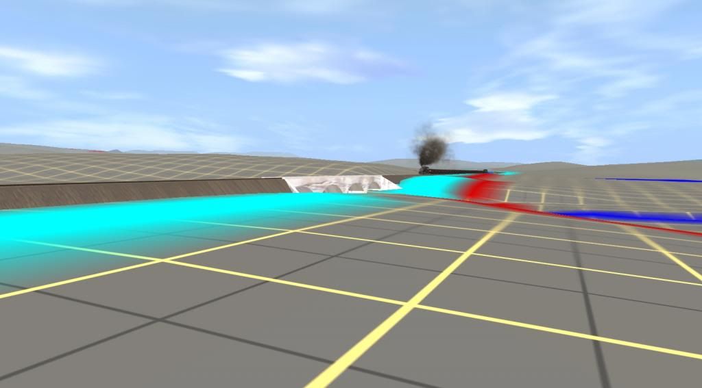
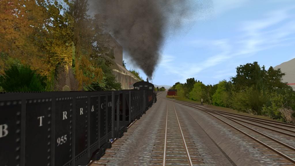
Shortly after Adams No 17 reaches Morrison's Summit and starts the descent to the 4 span concrete Bridge over Aughwick Creek as shown in the pics that follow:
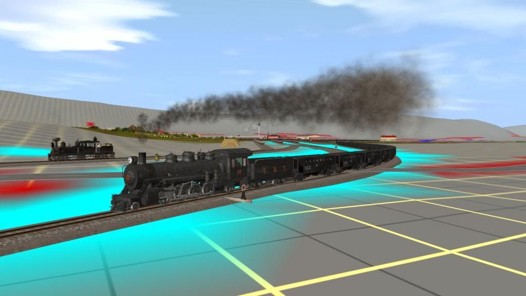
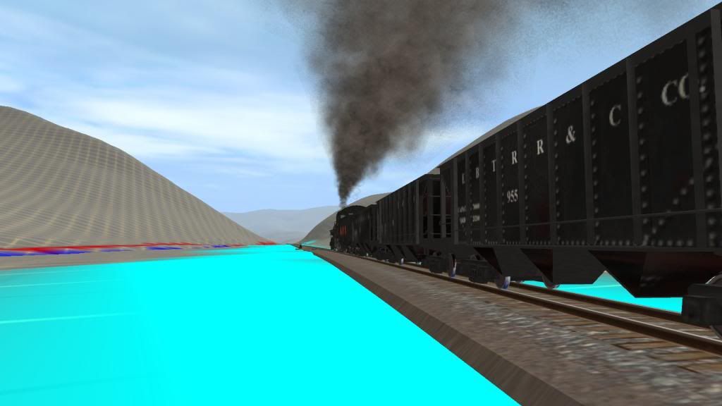
Morrison's Summit
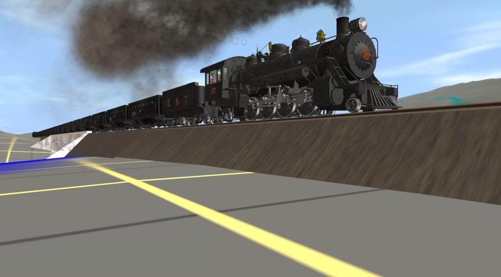
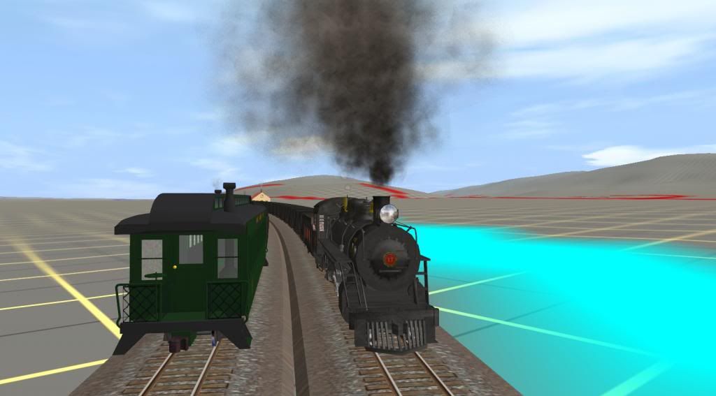
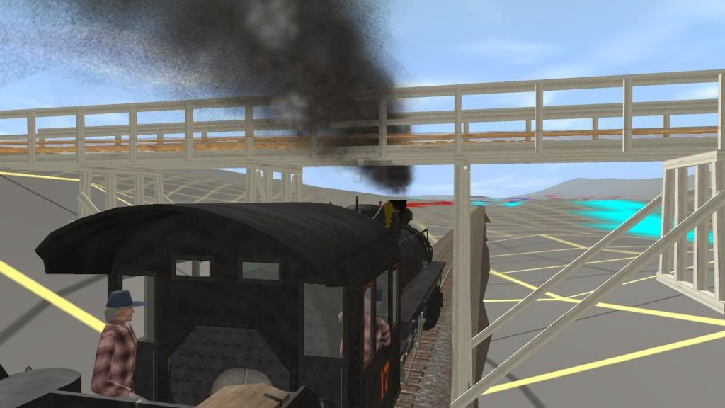
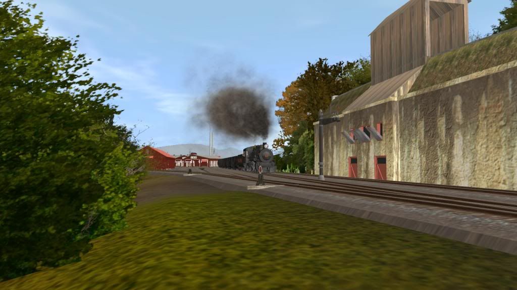
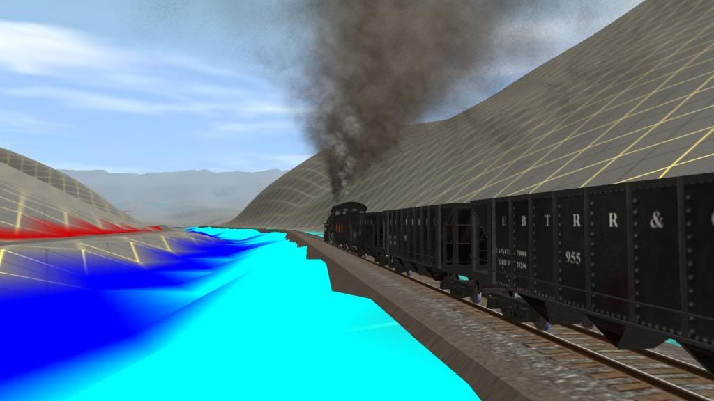
Morrison's Summit behind them - the driver shortens the cutoff and watches the speed on the down grade while the fireman takes a short rest.
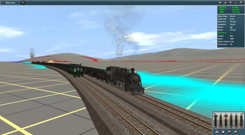
Aughwick Creek Bridge starts to show in the distance.
Will continue shortly so don't go away.")
Bob Pearson
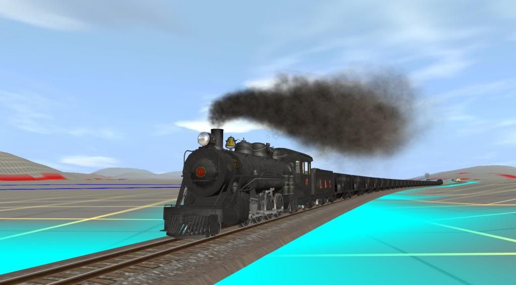
We'll follow Mikado no 17 southbound with 24 mtys and coach no 11 on the rear. The spur track you'll see in the pics at Allenton was actually part the original main line into Mt Union. Dual gauge track ends south of Allenton (called Allenport today) and marks the southern limit of the Mt Union yard tracks. Mikados 16 and 18 running as loaded northbound extras would normally have right of way over no 17 for the 2 meets you'll see but picture taking takes precedence in this case. But 1st a couple of map shots to indicate the route between Mt Union and the Shirley Clay Spur (aka Colgate Grove today):
Map showing the route from Mt. Union to Orbisonia, PA. North is to the top of the picture. Scalewise Mt Union to Orbisonia is about 11 miles.
Map is rotated 90 deg here so North is to the left South to the right. This covers the 1st part of the main line track to Aughwick Mills.
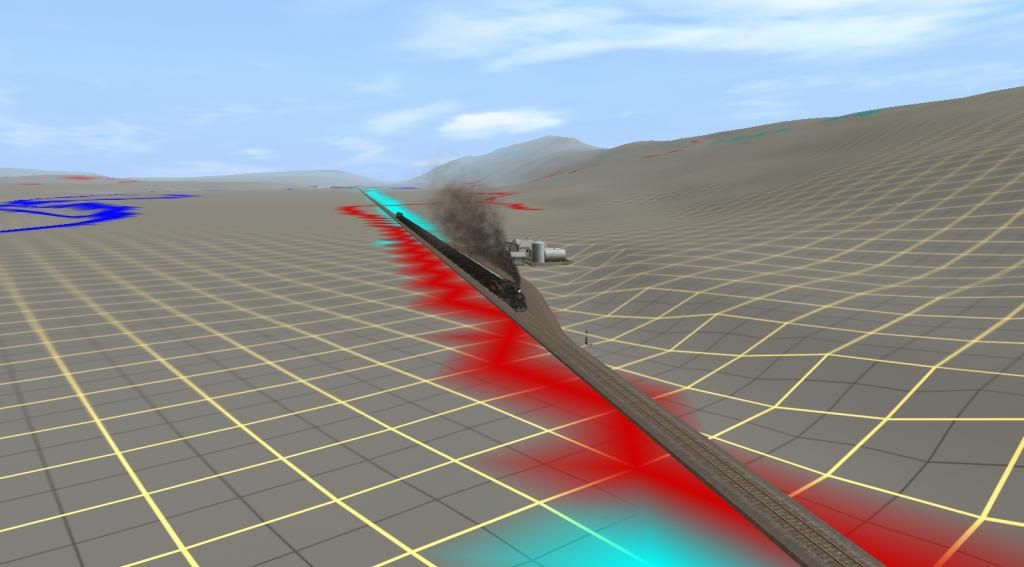
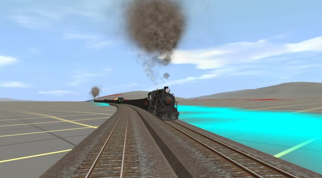
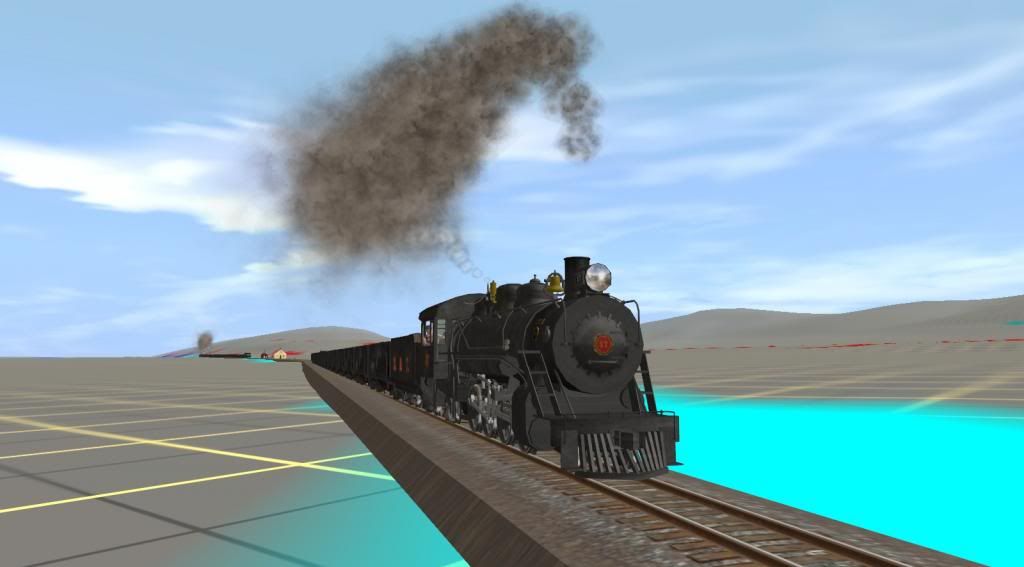
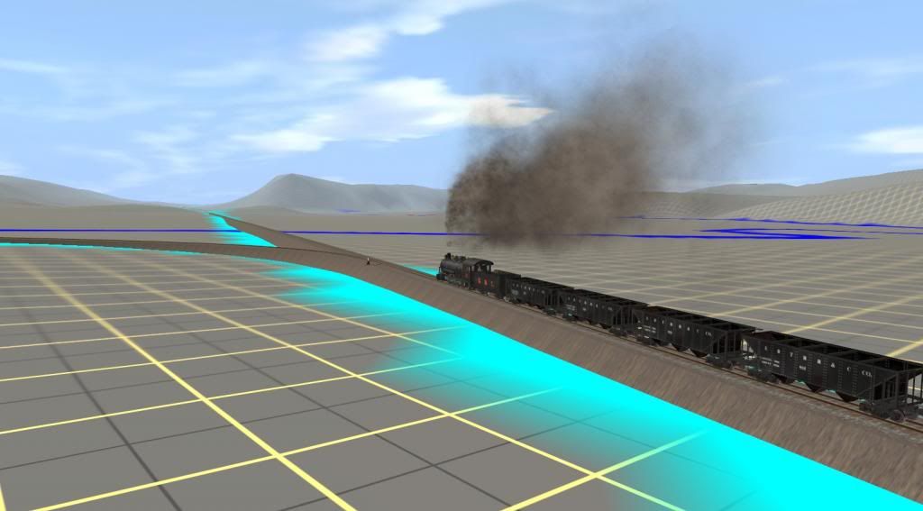
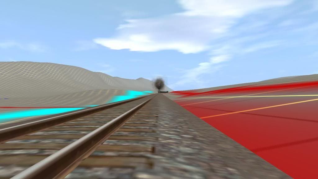
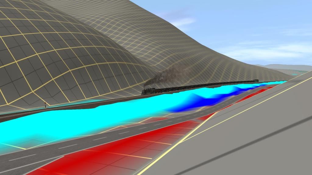
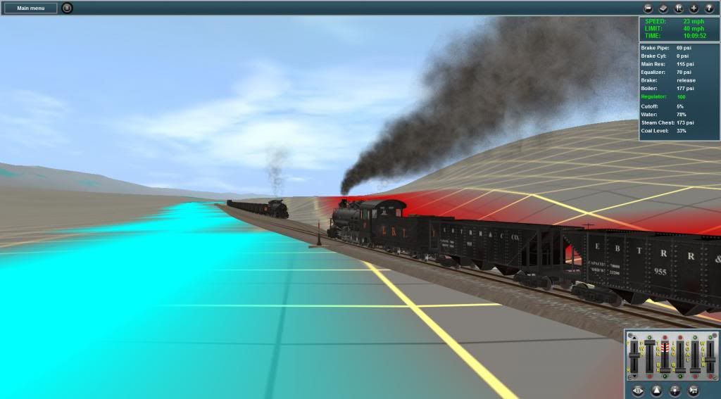
Here's No 17 SB at Allenton
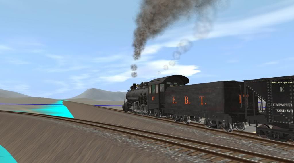
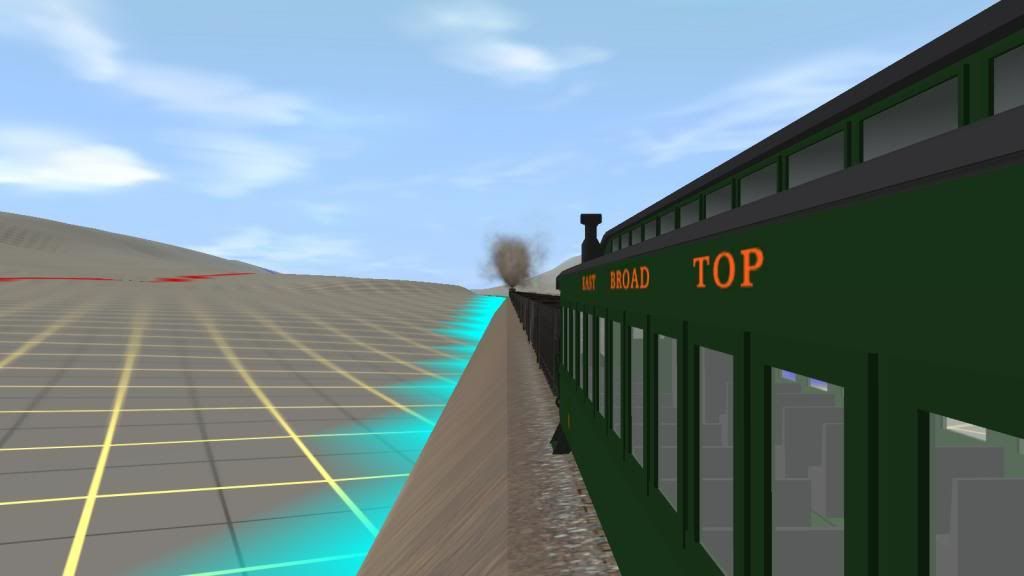
Still on the upgrade towards Adams for the meet with No 18.
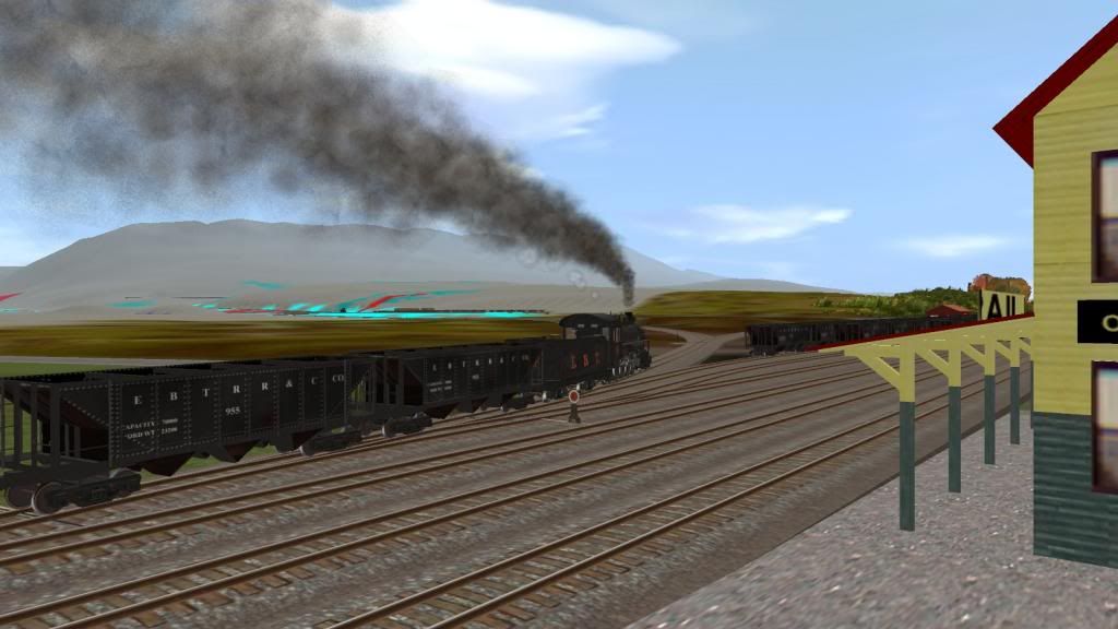
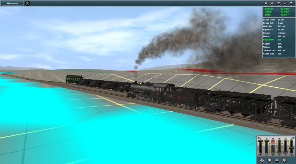
Following pics show the meet at Adams:
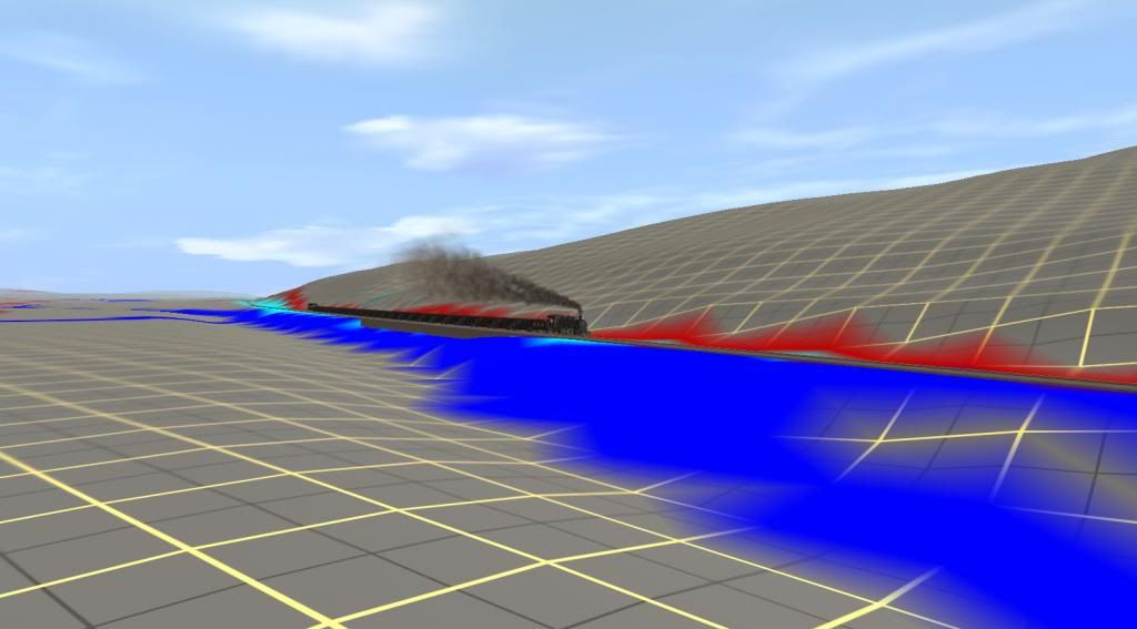
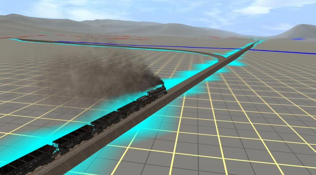
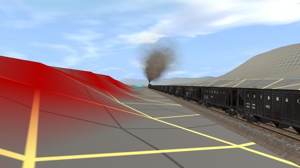
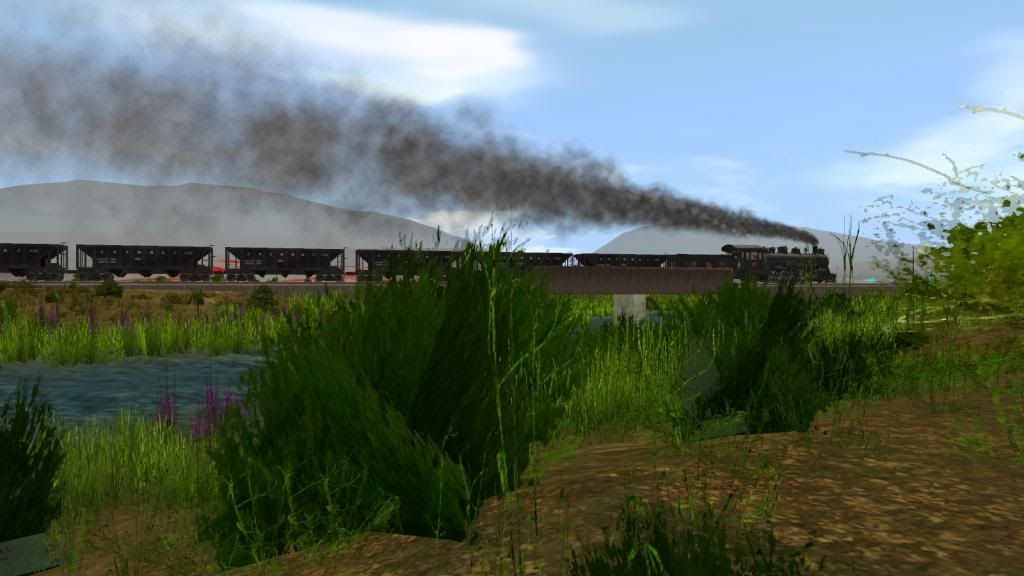
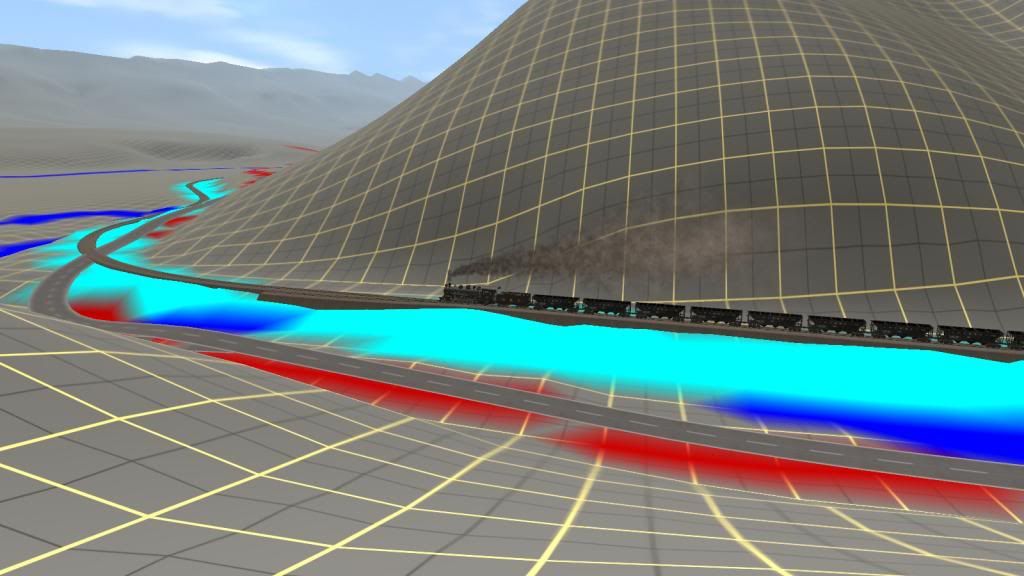
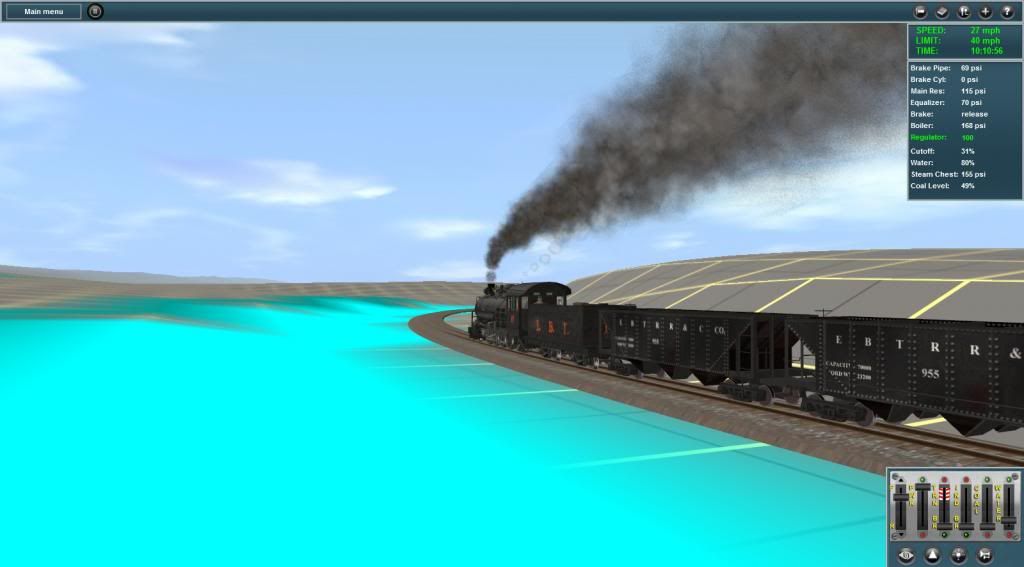
Shortly after Adams No 17 reaches Morrison's Summit and starts the descent to the 4 span concrete Bridge over Aughwick Creek as shown in the pics that follow:
Morrison's Summit
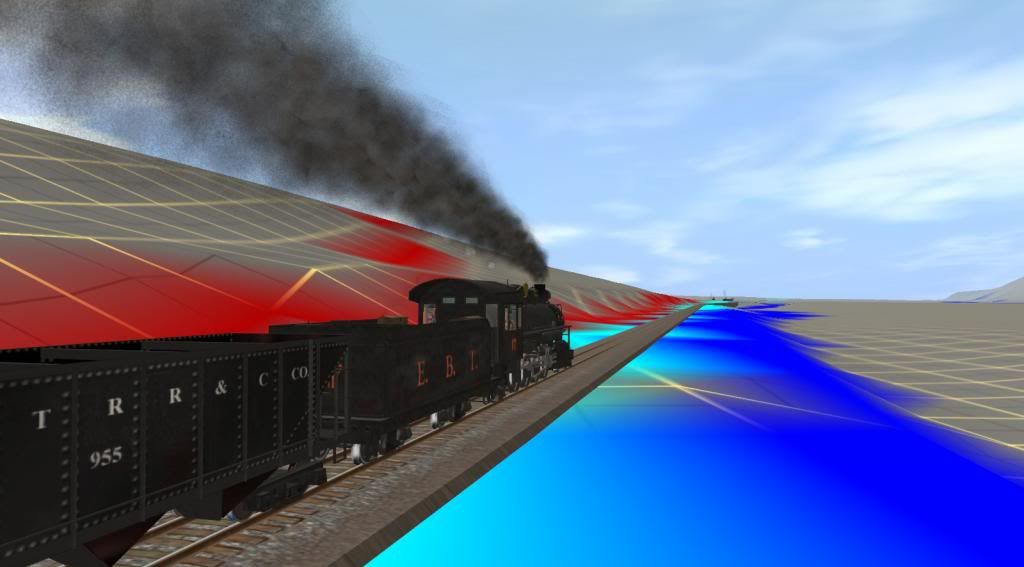
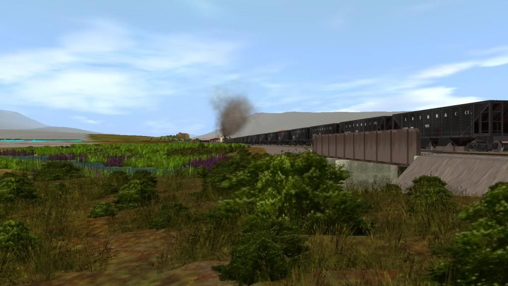
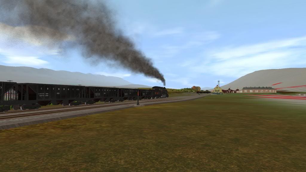
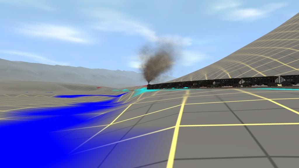
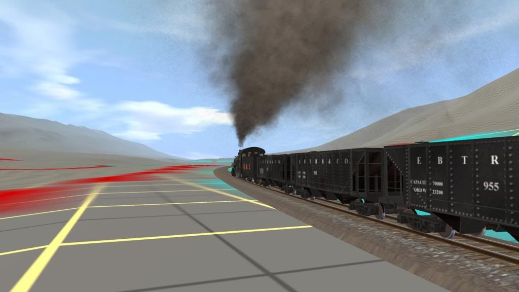
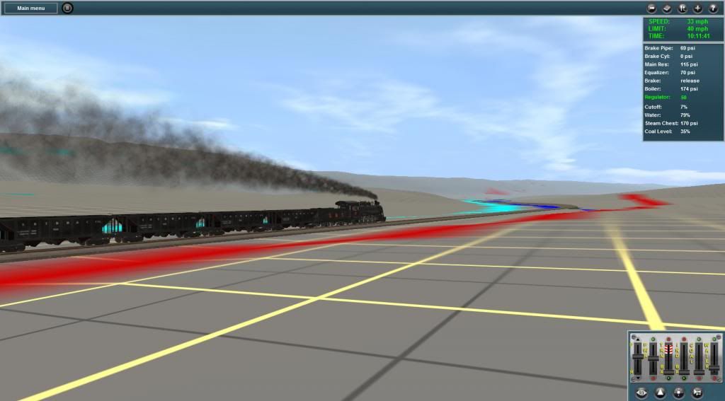
Morrison's Summit behind them - the driver shortens the cutoff and watches the speed on the down grade while the fireman takes a short rest.
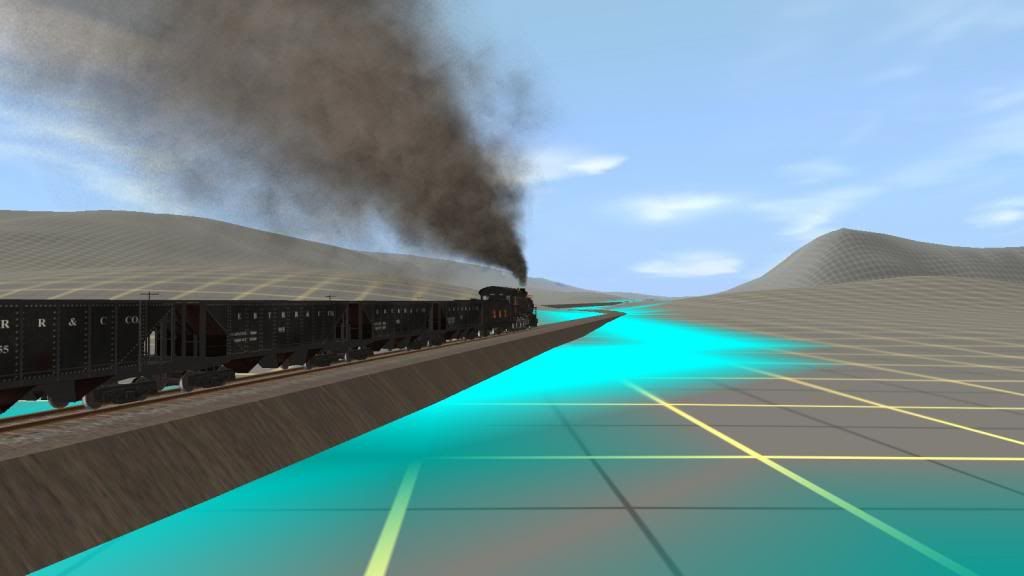
Aughwick Creek Bridge starts to show in the distance.
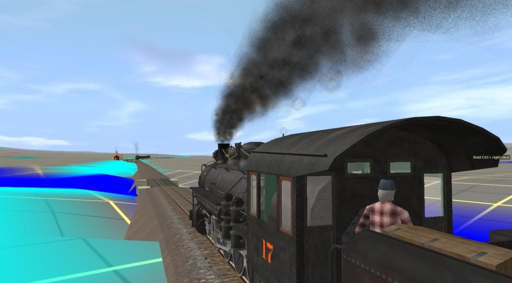
Will continue shortly so don't go away.
Bob Pearson
Last edited: