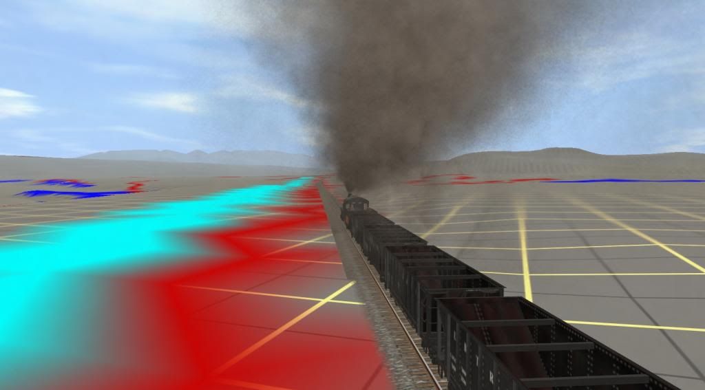
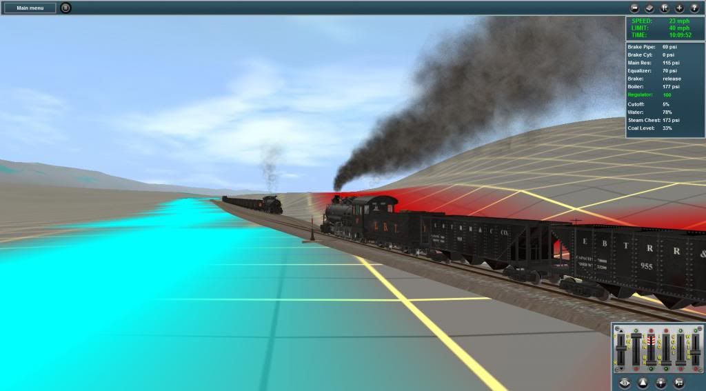
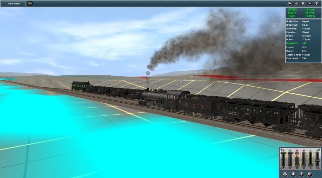
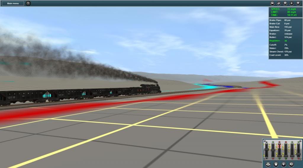
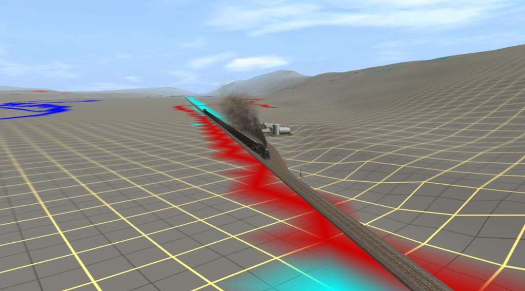
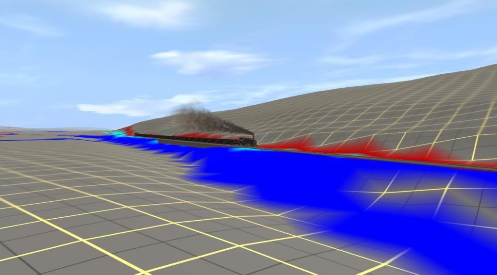
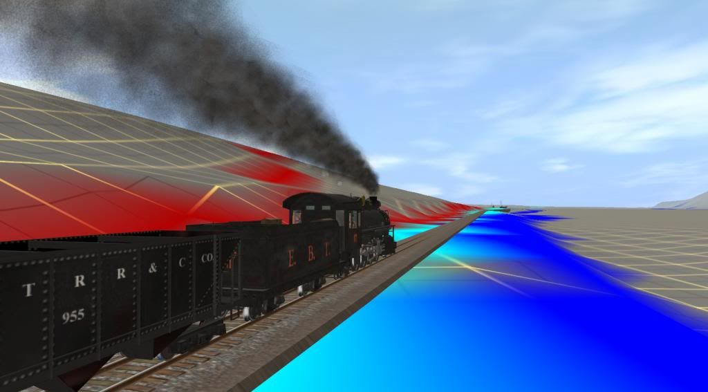
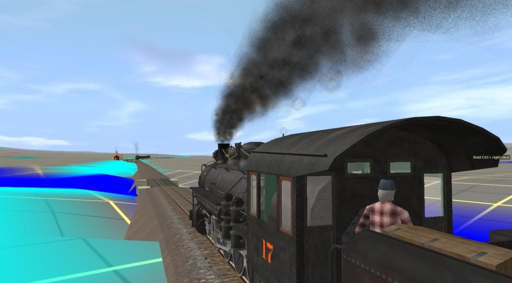
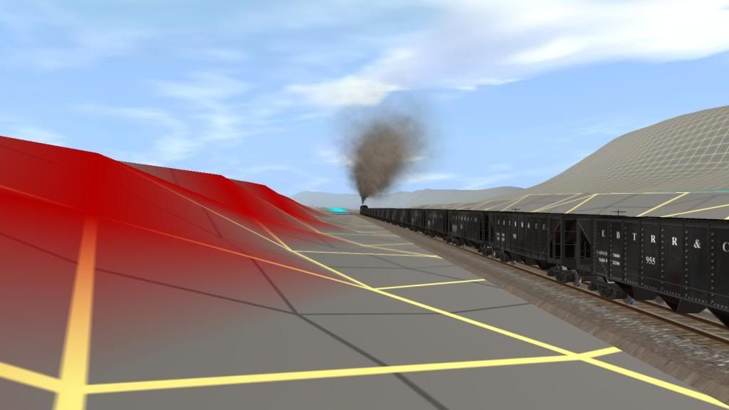
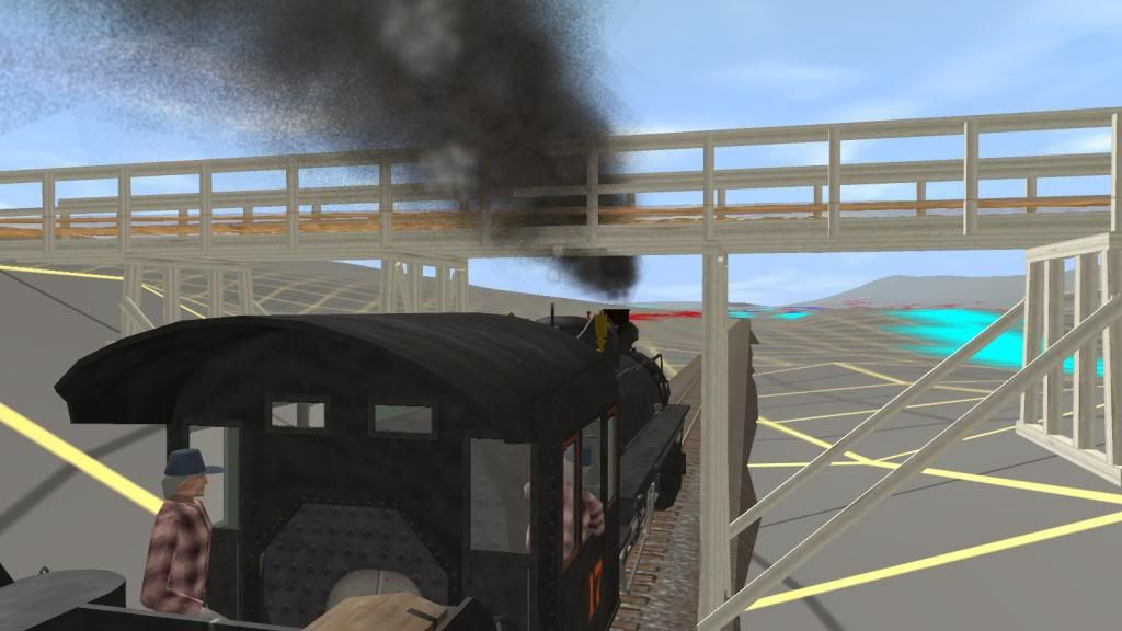
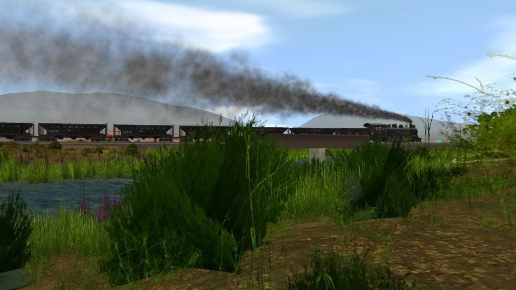
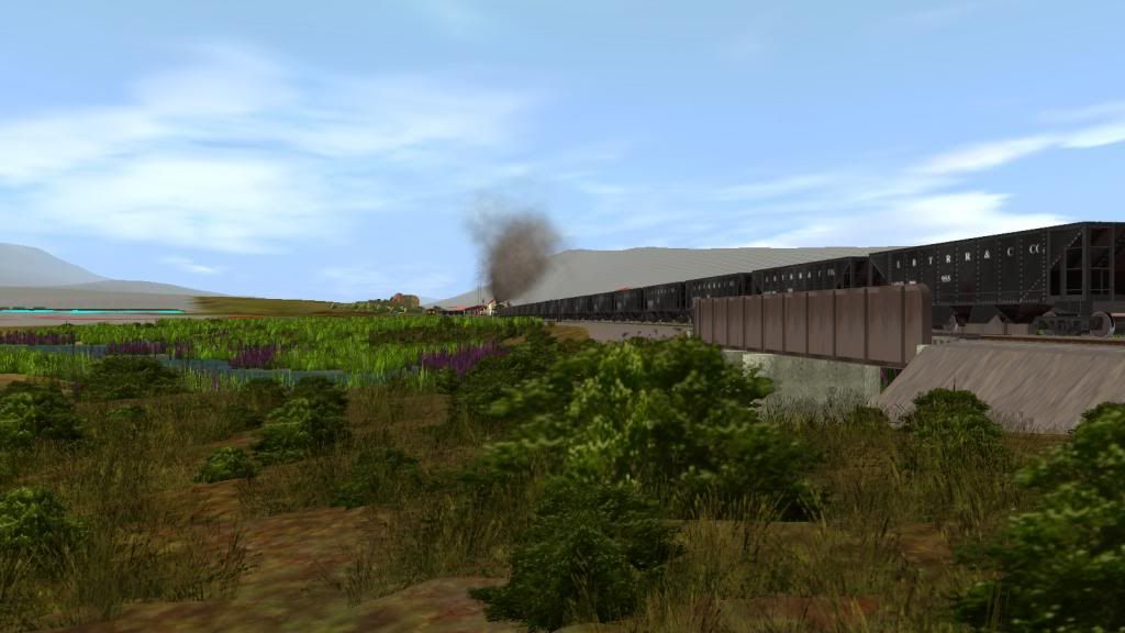
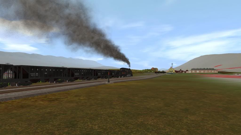
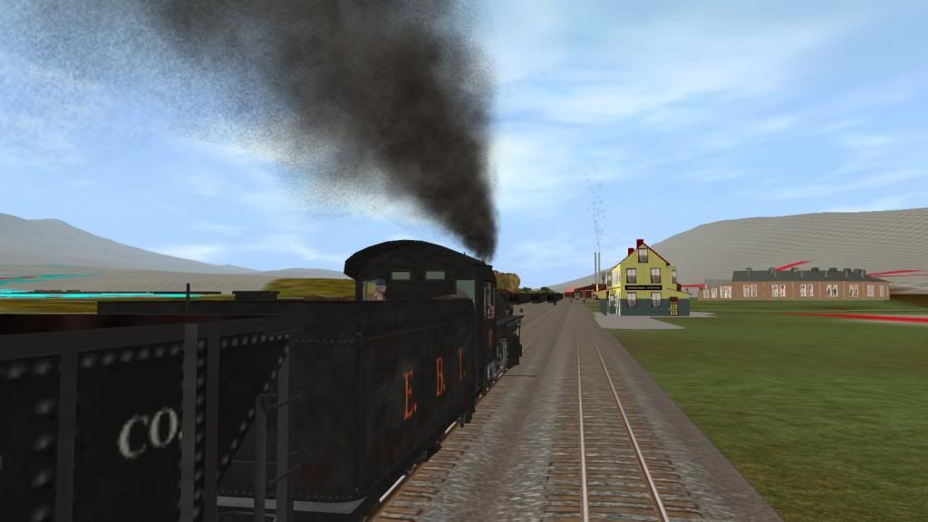
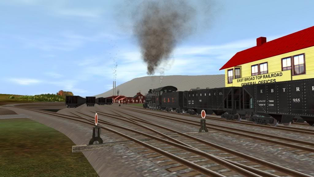
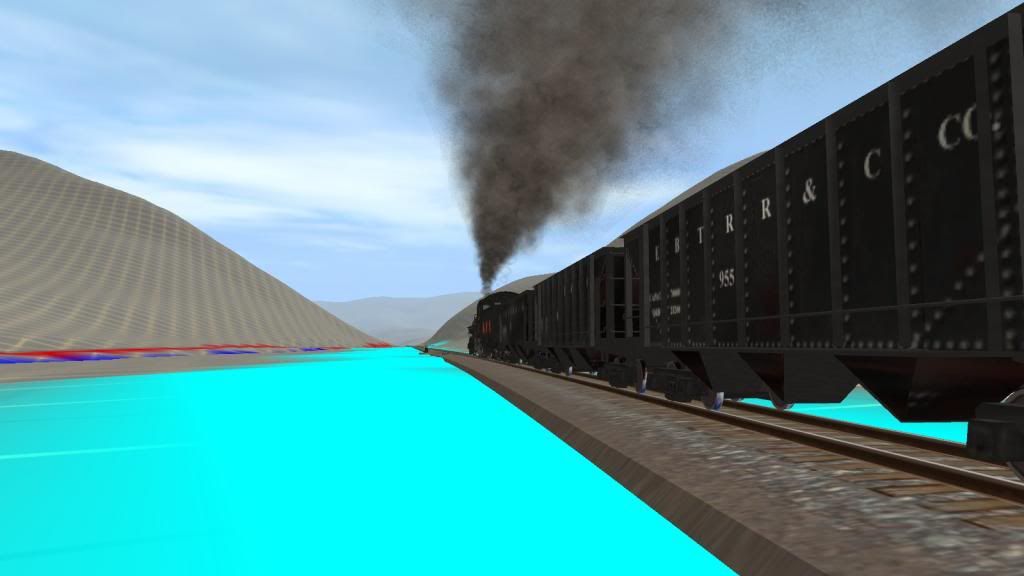
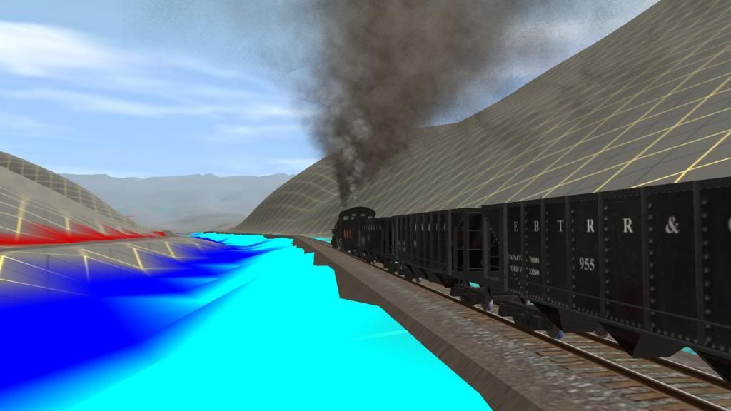
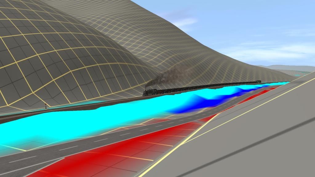
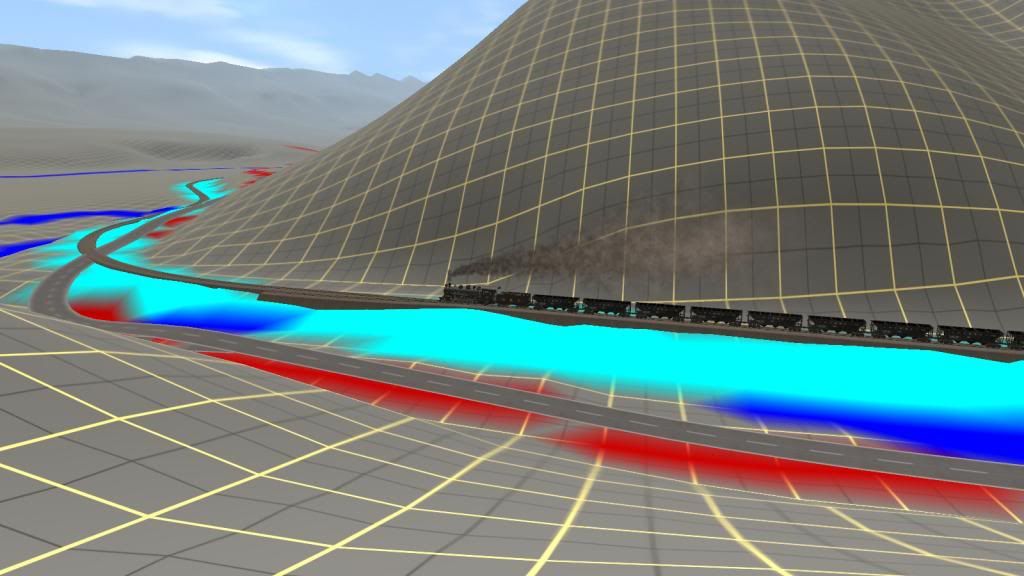
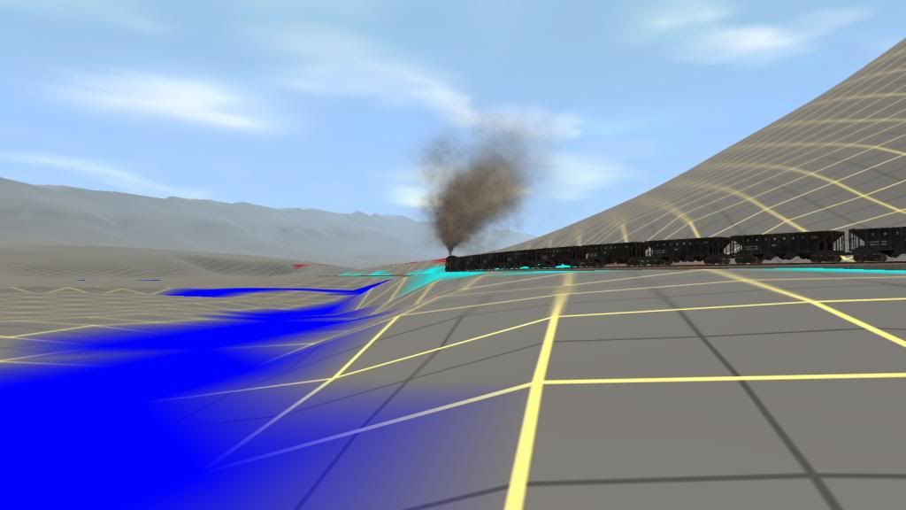
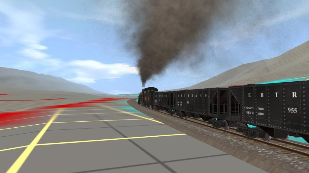
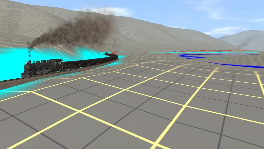
East Broad Top RR in Trainz a WIP (Large Pics - Yes)

EBT - South from MT Union to Shirley Clay Spur I

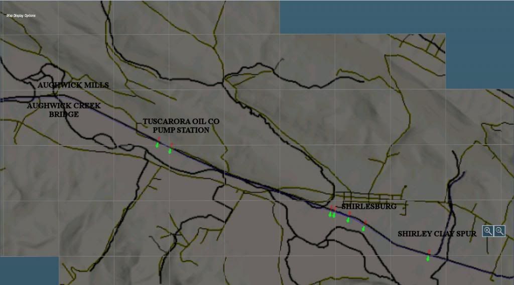
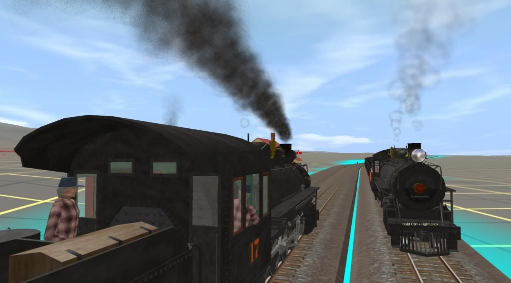
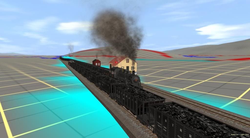
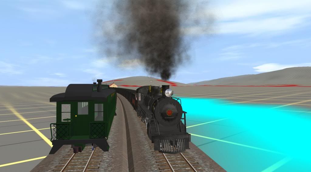
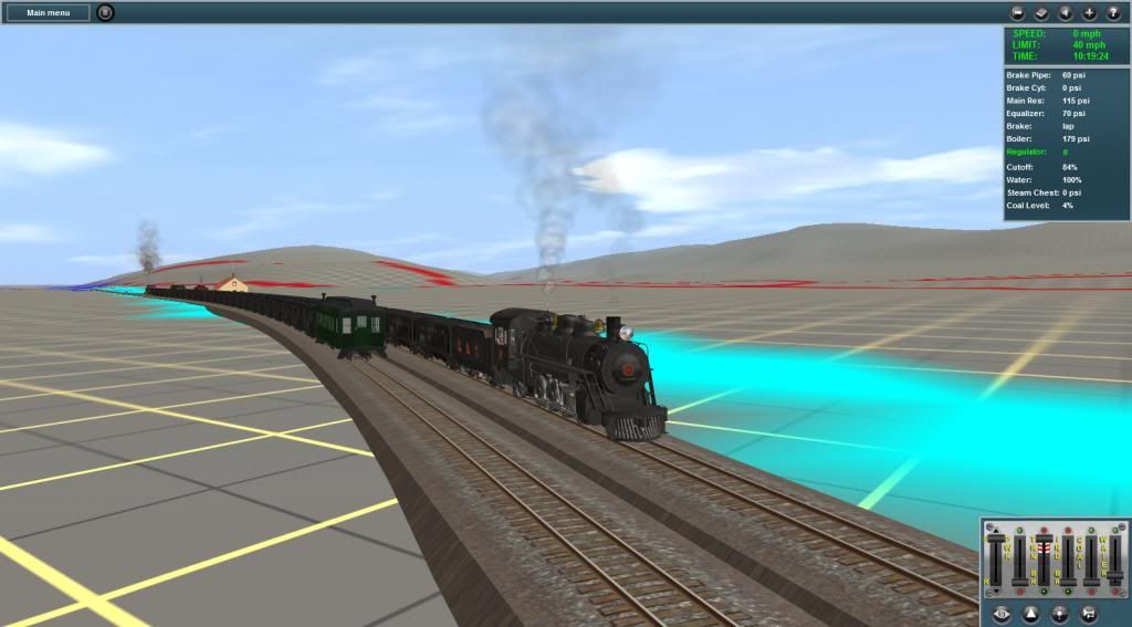
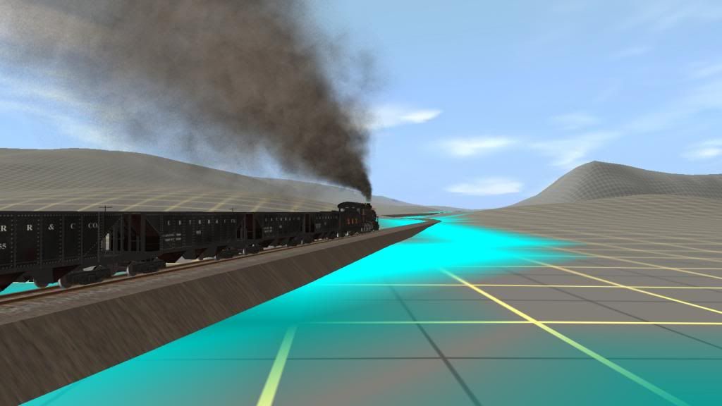
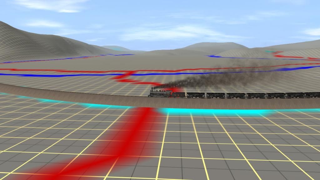
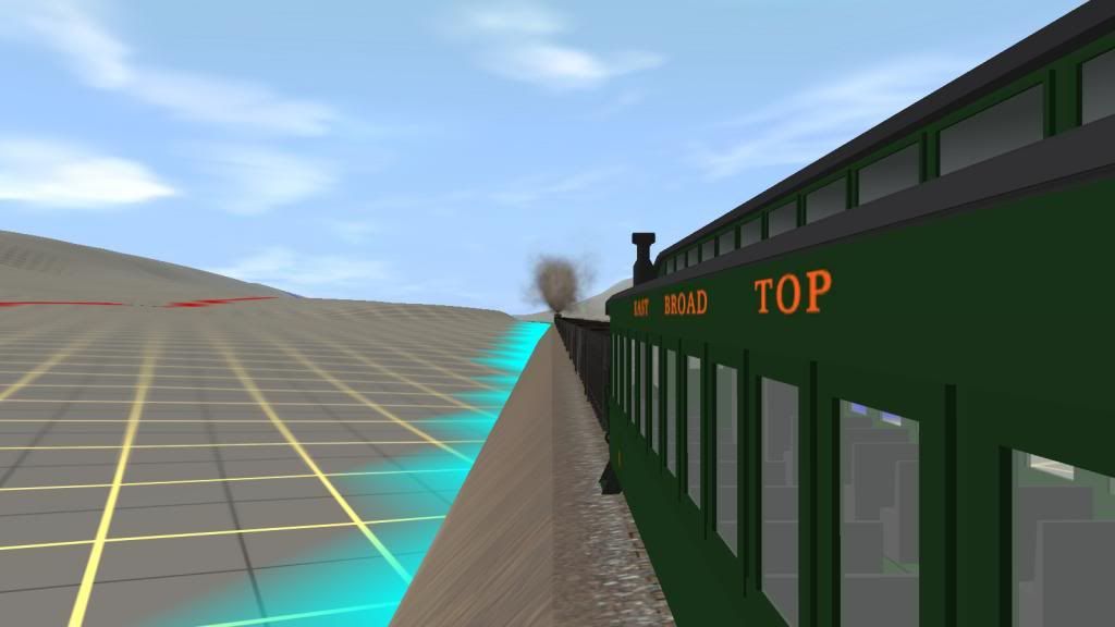
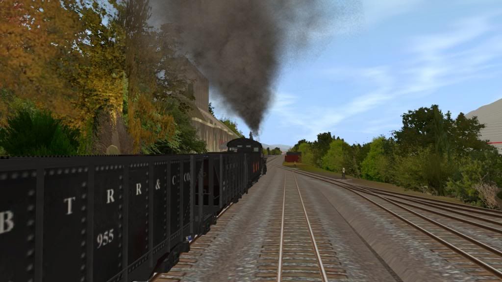
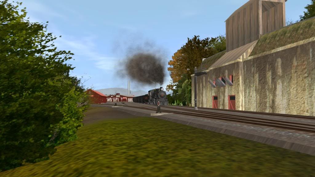
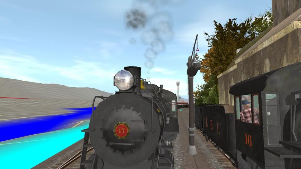
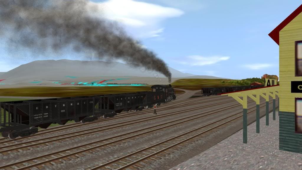
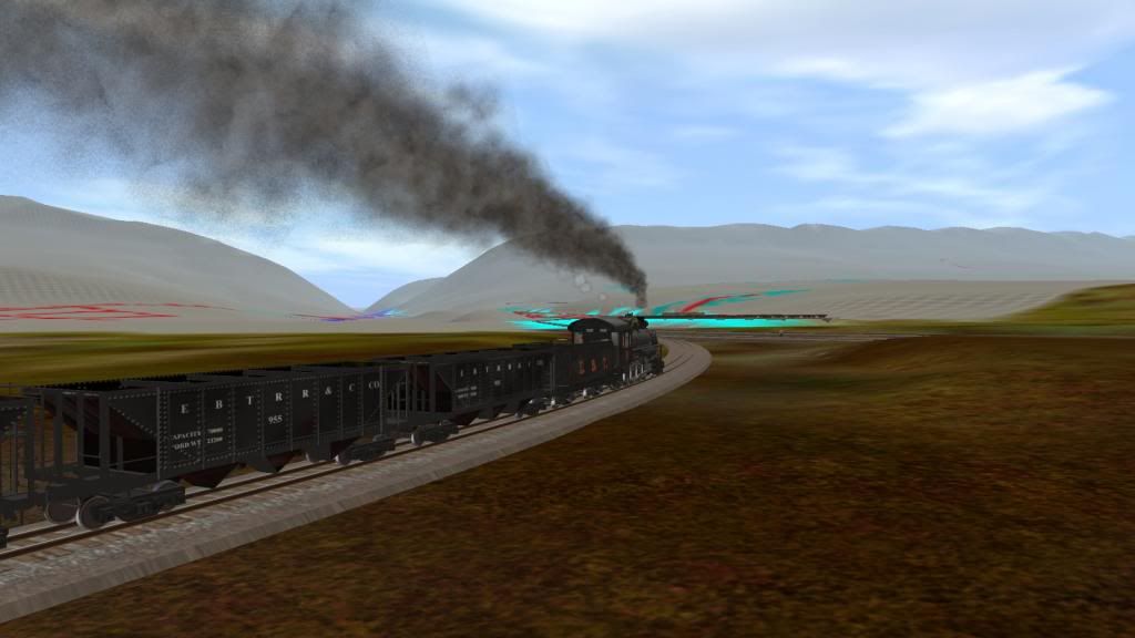
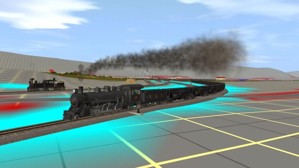
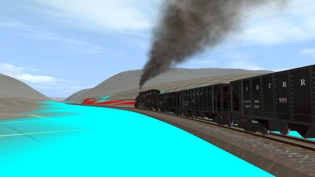
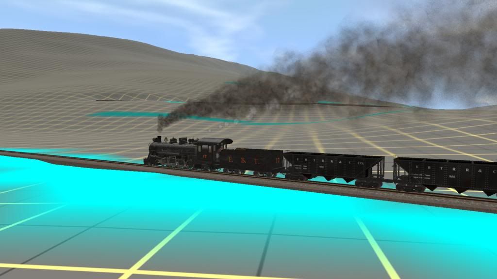
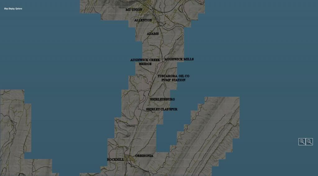
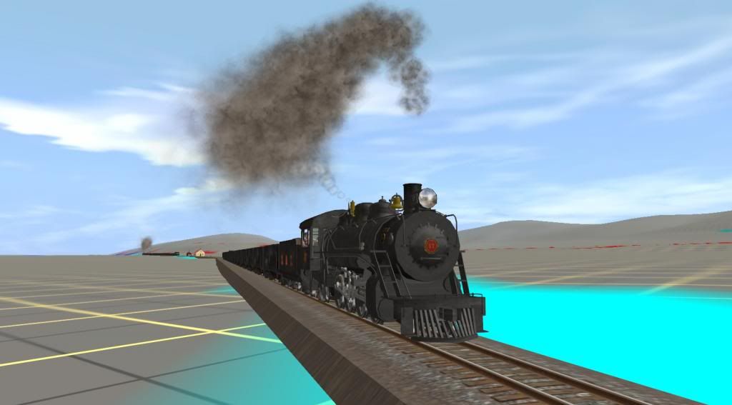
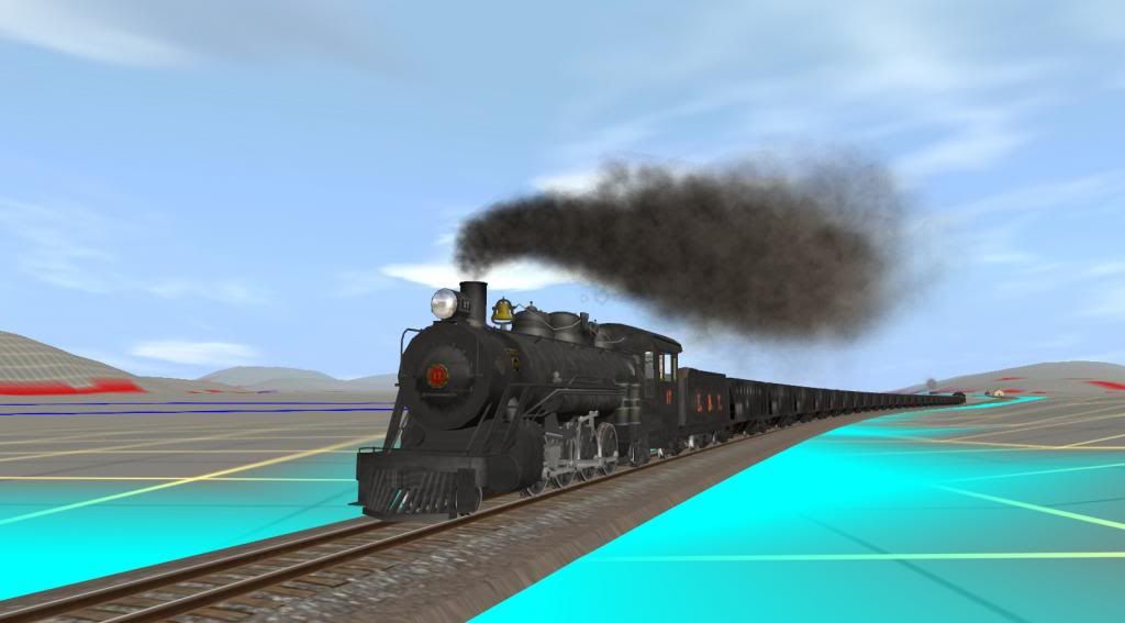
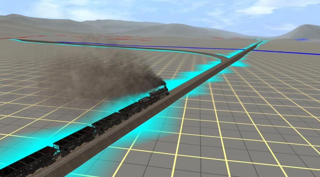
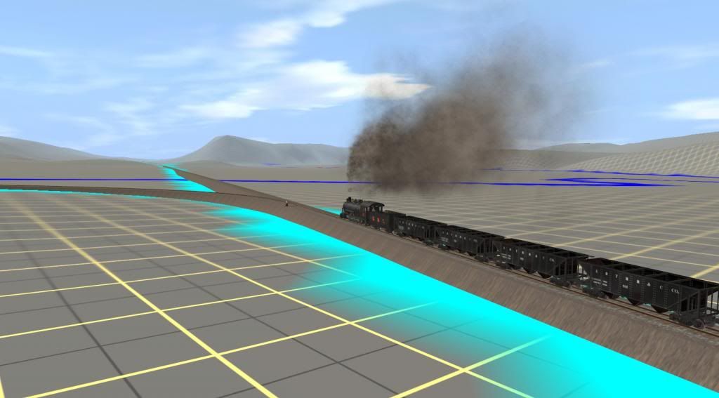
We'll follow Mikado no 17 southbound with 24 mtys and coach no 11 on the rear. The spur track you'll see in the pics at Allenton was actually part the original main line into Mt Union. Dual gauge track ends south of Allenton (called Allenport today) and marks the southern limit of the Mt Union yard tracks. Mikados 16 and 18 running as loaded northbound extras would normally have right of way over no 17 for the 2 meets you'll see but picture taking takes precedence in this case. But 1st a couple of map shots to indicate the route between Mt Union and the Shirley Clay Spur (aka Colgate Grove today):
RPearson_20140213_0000-T.jpg

Map showing the route from Mt. Union to Orbisonia, PA. North is to the top of the picture. Scalewise Mt Union to Orbisonia is about 11 miles.

RPearson_20140213_0005-T.jpg

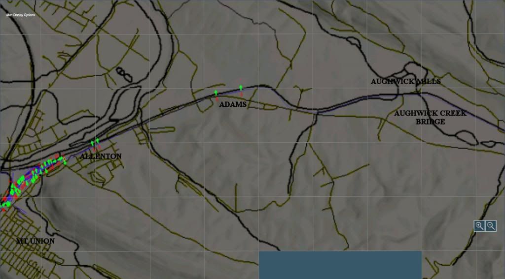
Map is rotated 90 deg here so North is to the left South to the right. This covers the 1st part of the main line track to Aughwick Mills.

RPearson_20140212_0000.jpg

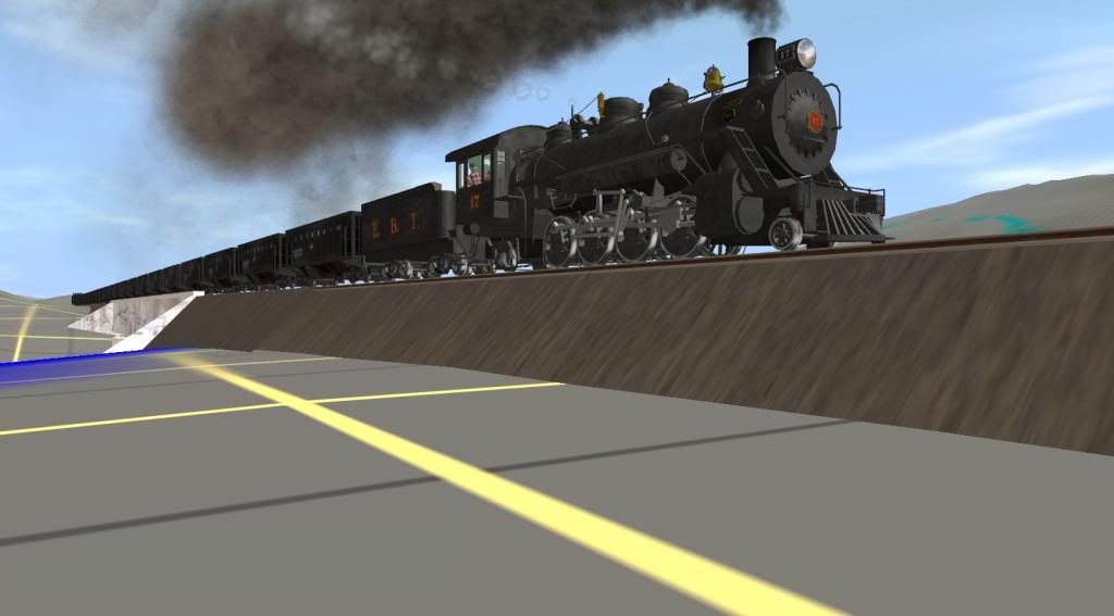
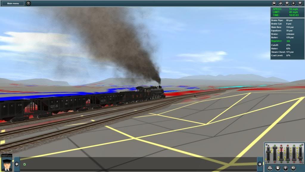
Here's No 17 SB at Allenton


RPearson_20140212_0011.jpg

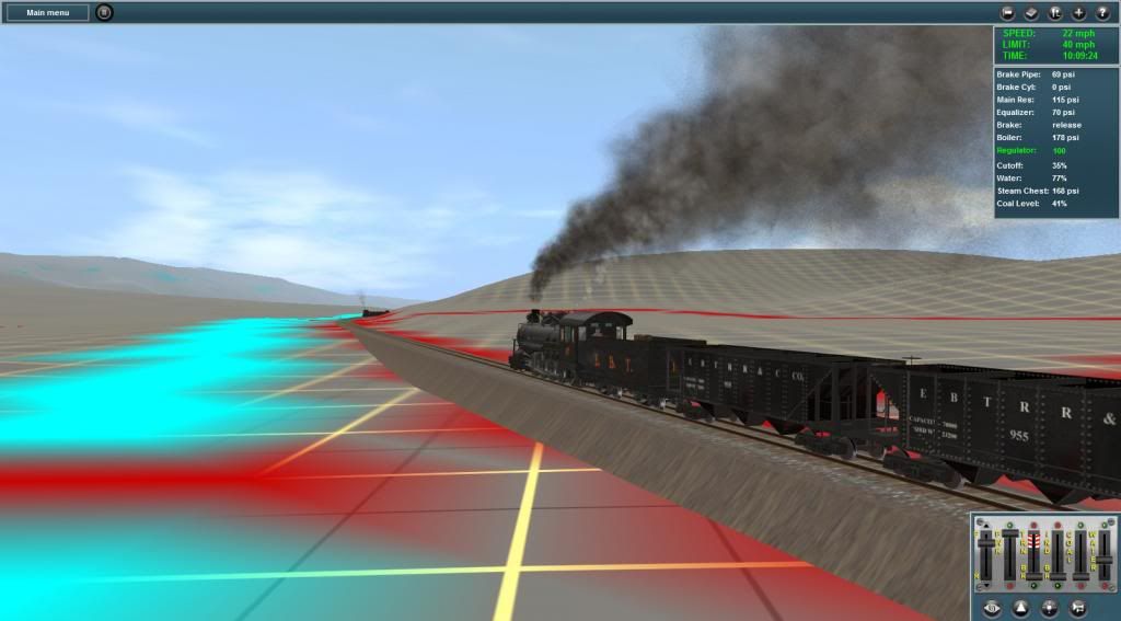
Still on the upgrade towards Adams for the meet with No 18.


Following pics show the meet at Adams:
RPearson_20140212_0015.jpg


RPearson_20140212_0018.jpg


RPearson_20140212_0022.jpg


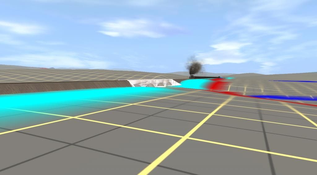
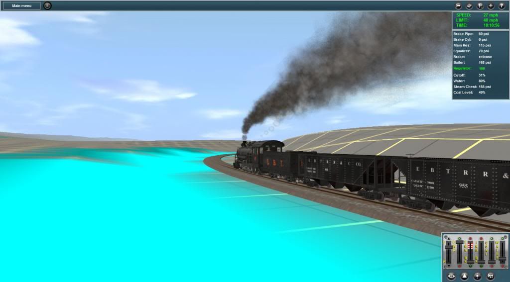
Shortly after Adams No 17 reaches Morrison's Summit and starts the descent to the 4 span concrete Bridge over Aughwick Creek as shown in the pics that follow:
RPearson_20140212_0024.jpg

Morrison's Summit

RPearson_20140212_0029.jpg

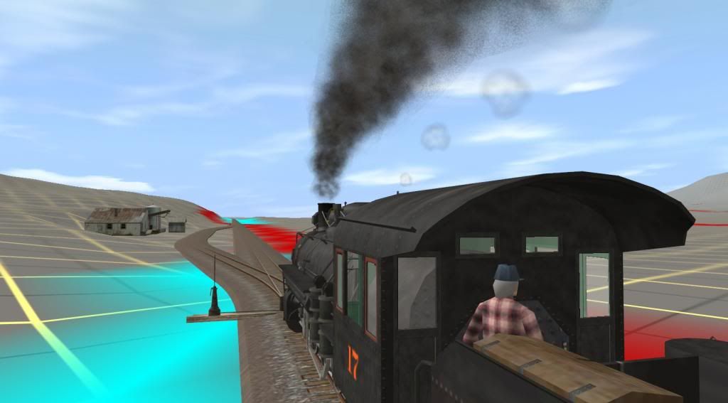
Morrison's Summit behind them - the driver shortens the cutoff and watches the speed on the down grade while the fireman takes a short rest.
RPearson_20140213_0011.jpg

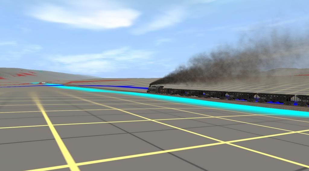
Aughwick Creek Bridge starts to show in the distance.


Will continue shortly so don't go away.:cool:

Bob Pearson
 
Last edited:
EBT - South from MT Union to Shirley Clay Spur II

The next 2 pics shown No 17 approaching and crossing the concrete bridge over Aughwick Creek. The bridge model is my own creation and needs a new set of textures. Before that happens though I think I'll redo the mesh and add in some LOD meshes to drag me screaming into the "last" era for Trainz. The bridge was one of the 1st reinforced concrete bridges built in the US. For steel reinforcement they used old rail sections. The bridge track uses same ballast and wooden ties as the track approaching it:

RPearson_20140213_0006-T.jpg

Map view of the route from Aughwick Mills to the Shirley Clay Spur. Map is rotated so North is to the left. South is to the right.

RPearson_20140213_0015.jpg

The Aughwick flows NNE into the Juniata R. several miles below the bridge (towards the upper right side in the abv pic).

RPearson_20140213_0017.jpg

While the side of the fill is a bit steep it looks good from most angles. What I really like is that being part of the track spline it follows the track exactly just like the real stuff. My own track shown here is the old MR type track from TRS2004 and just uses a new config to convert it to a 2 lod stiched track. Updating it was another project to get done this winter - except winter is about 2/3 gone already.


A short distance and slight upgrade from the bridge is the Tuscaroro Oil Company's Pipeline Pump Station. An occasional set out and pickup of 3 to 4 hoppers of clean coal for the boiler that supplied steam to the pump engines and it also served as a flag stop for several employees and their families who lived nearby. The model here is a place holder until I can put something together more representative of the original pump station buildings:

RPearson_20140213_0023.jpg

Tuscaoro Oil Co. Pipeline Pumping Station

RPearson_20140213_0024.jpg

As noted not too far from the concrete bridge over the Aughwick. You can still make it out in the distance.

RPearson_20140213_0026.jpg

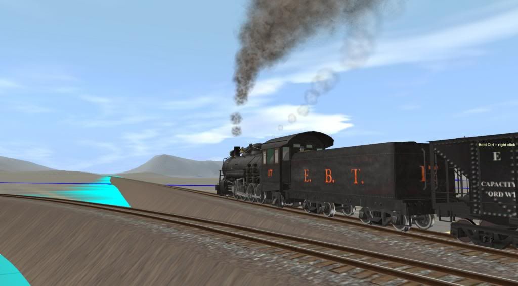
17 has to hug the creek bank along here between the water and the road just above it.

RPearson_20140213_0027.jpg

I've driven along that road a few times and couldn't see the tracks yet they are still there on the EBT's ROW.

Next is Shirleysburg, PA, a small town originally called Shirley which is also the name of the Township that includes Allenton, Shirleysburg and the land a ways below the clay spur and all in between. The short steel girder bridge on the north approach is typical of many on the EBT. The sidings located here are the last until Orbisonia. Mikado no 16 I guess had enough pull to rate the main line for this meet - well actually 17 had a few passengers and some mail to drop off:

RPearson_20140213_0031.jpg


Still more to come so stay close.

Bob Pearson
 
Last edited:
EBT - South from MT Union to Shirley Clay Spur III

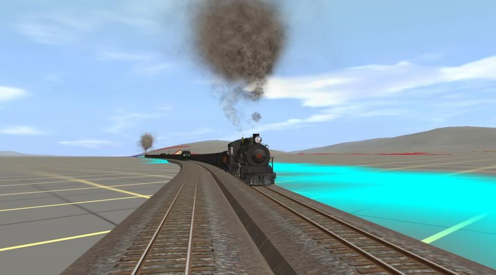
To end up this section of the trip here are several shots of the meet at Shirleysburg with no 16 starting out 1st to resume her run north to Mt Union and then 17 pulls out to head south to the Clay Spur junction:


RPearson_20140213_0035.jpg

If you haven't noticed by now 16, 17 and 18 are my own repaints of bdaneal's EBT No 17. I know there are a couple of different repaints of this model around. I never released mine since I use the alias tag and due to a long standing bug in N3V's LOD code the model reverts to the original textures for all LOD's after the 1st one. AFAIK only distributing your repaint with the original mesh solves the problem.

RPearson_20140213_0039.jpg

The station model here is actually the Saltillo, PA Station. It will be replaced when a new model is constructed. I think the differences are pretty minor actually.

RPearson_20140213_0051.jpg


RPearson_20140213_0052-1.jpg

No 17 with the brakes set waiting for the all clear to start out again. No 16 is already under way.

RPearson_20140213_0055.jpg

Full gear with the throttle about 3/4 open. The 48 in drivers are pretty sure footed - providing about 24,000 pounds of force to the rail at current boiler/steam chest pressure. Probably opened her up too fast but the sound and visuals are great. Nos 16 thru 18 were rated at 30,600 lbs tractive force.

RPearson_20140213_0058.jpg


RPearson_20140213_0060.jpg

Out on the main the driver shortens the cutoff and holds the current speed.

RPearson_20140213_0062.jpg

I like the view at this height which gives a look at both Douglas and McMullen's Summits. McMullen's marks the high point of the line between Mt. Union and Orbisonia. But more on that will have to wait for the next section.

RPearson_20140213_0064.jpg

After slowing for the Junction the driver starts to hook her up for the short run to Douglas Summit.

RPearson_20140213_0066.jpg


From the Clay Spur junction it is only about 3 1/2 miles to Orbisonia, PA and the EBT's main shop complex at Rockhill. In the modern tourist era the Clay Spur junction marks the northern extent of travel. A south leg to form a wye was added in 1961 to turn whole trains for the return trip to Orbisonia. The area is known as Colgate Grove after the picnic area located here in the 1890's

So that's it for awhile. Next part of the trip will be a short one from the Clay Spur to Orbisonia and Rockhill Furnace, PA.

Bob Pearson
 
Last edited:
I was looking at the layout near Orbisonia just a few days ago to get a feel for the interface with the McKelvey Bros Logging RR someplace in the vicinity of the old iron furnace. I don't have any good info except apparently there was a direct connection since EBT flat cars were used on both roads to carry lumber and logs without any transferring of loads. I intend to add a small mill here as it's possible that one existed in the 1920's but no documentation of it exists that I'm currently aware of. A written description of the line starting near the Shade Gap Branch and going south on a switchback is all I have of this end of it. The writer had no info on the actual interface though.

A short run down the Shade Gap branch at least as far as Blacklog Creek Gap will be included in the next group of screenshots.

The Shade Gap and Shade Valley branchline tracks are all included on the current route but need some "terraforming" along the ROW. The EBT bought land and graded an extension of the Shade Gap Branch to connect with a never built South Penn RR and so no tracks were laid on it. The extension to the South Penn RR is there in the route and I've laid track (playing "what if" games maybe) as far as the Tuscarora Tunnel on the modern day PA Turnpike. The South Penn RR did get as far as buying land and grading parts of the route. 2 tunnels were bored and then all work ceased and they were sealed up. Both were re opened around 1950 and used for the PA Turnpike highway system.

Coming soon. :cool:

Bob Pearson
 
Last edited:
I was looking at the layout near Orbisonia just a few days ago to get a feel for the interface with the Mckelvey Bros Logging RR someplace in the vicinity of the old iron furnace. I don't have any good info except apparently there was a direct connection since EBT flat cars were used on both roads to carry lumber and logs without any transferring of loads. I intend to add a small mill here as it's possible that one existed in the 1920's but no documentation of it exists that I'm currently aware of. A written description of the line starting near the Shade Gap Branch and going south on a switchback is all I have of this end of it. The writer had no info on the actual interface though.

A short run down the Shade Gap branch at least as far as Blacklog Creek Gap will be included in the next group of screenshots.

The Shade Gap and Shade Valley branchline tracks are all included on the current route but need some "terraforming" along the ROW. The EBT bought land and graded an extension of the Shade Gap Branch to connect with a never built South Penn RR and so no tracks were laid on it. The extension to the South Penn RR is there in the route and I've laid track (playing "what if" games maybe) as far as the Tuscarora Tunnel on the modern day PA Turnpike. The South Penn RR did get as far as buying land and grading parts of the route. 2 tunnels were bored and then all work ceased and they were sealed up. Both were re opened around 1950 and used for the PA Turnpike highway system.

Coming soon. :cool:

Bob Pearson

i do believe i have a map on my computer here showing the begining portion of the shade gap branch, lets see if i can find it and post it here
 
nope can't post it can't resize it to an acceptable level for the forums system without making it to small if you could private message me your email i could send it to you the one i have goes out as far as the switchback near the final slag dump
 
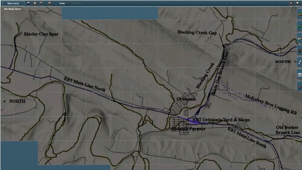
Continuing with No 17 on her run southbound. This set of screenshots will follow No 17 from Douglas Summit to Orbisonia. At Orbisonia we follow her on a side trip down the Shade Gap Branch line. Actually I think this is the 1st photos that I've taken of any trains on this portion of the route. I've also started testing various ground cover textures and usinng grass & shrubs splines. I was quite surprised with the results. I'll start with a map of the area covered in the pics in this set:
RPearson_20140315_0003M.jpg


So get set it's a short run less than 4 miles to Orbisonia from where we left off below Shirley Clay Spur and probably about the same on the side trip thru Backlog Creek Gap on the Shade Gap Branch.

Bob Pearson

PS Spelling is not my strong point so in case somebody notices Booher is the correct spelling for the old branch line to the iron ore mine of the same name.

PPS I also noticed I didn't indicate McMullens Summit on the map. Going south towards Orbisonia from the Clay Spur, McMullens is just after the 1st curve going to the left.
 
Last edited:
We catch up to EBT No 17 on the grade up to Douglas Summit. The "S" curve, Long Fill, McMullens Summit and the coast down hill into Orbisonia lie ahead:


RPearson_20140316_0019.jpg

Douglas Summit ahead and the start of the "s" curve. I think I can make out McMullens Summit in the far distance.


RPearson_20140316_0022.jpg

Runk Rd overpass is a favorite photo shoot area in the tourist era. I had Bendorsey's model of it in a previous version of the route TS10 probably but I'll have
to install it into TS12. Called the "Long Fill" this section between the 2 summits was 1st a low trestle. As the trestle was easier and quicker to build than
digging and moving the necessary fill from other sections. It was eventually filled in by dumping slag waste from the iron furnaces and maybe some boney
from the coal mines. Northbound trains would haul a couple of cars of the fill material each trip and stop to dump them thru the ties.


RPearson_20140316_0027.jpg

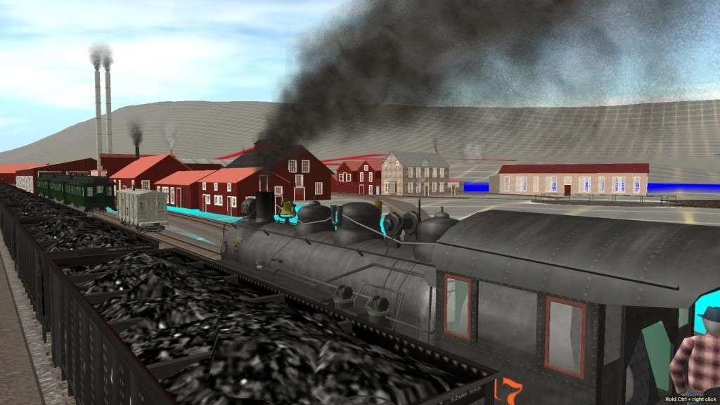
Stretched out on the grade up to McMullens Summit. About a 1% grade with 20 mtys and a passenger car on the end so No 17 handles it easily since the
ruling grade southbound is 2.6% with 24 mtys and a caboose or combine or passenger car on the end. The morning and evening miner's train would have
2 of the older coaches on the end.


RPearson_20140321_0007.jpg

McMullens Summit is the high point on the EBT's main line between Mt Union and Orbisionia.


RPearson_20140316_0049.jpg

This quaint wooden bridge is actually a drive way between PA RT 552 and a residence located out of sight on the right hand side in the pic


RPearson_20140321_0082.jpg

Rolling down hill the driver would have the cutoff at min and apply the brakes as necessary to keep the speed to 25 mph or less.


RPearson_20140321_0087.jpg

Crossing the thru girder bridge over Blacklog Creek just before reaching the yard abd station track at Orbisionia. I started playing around with the shrub
and grass splines just last week. I like the effect a lot. The ground and creek textures also look pretty good. I used about 3 different textures in this area
for the creek bed and banks and 2 different water textures to paint it in. Elsewhere I used 3 to 4 different ground textures with various grass and shrub
splines and a few trees.


RPearson_20140321_0091.jpg

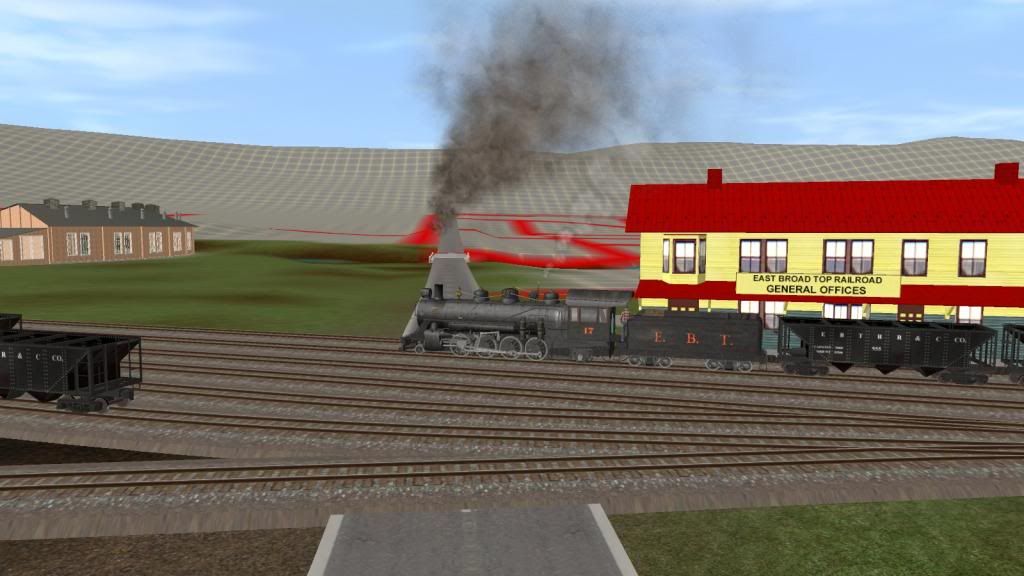
This and the following 2 pictures show the approach to the Orbisonia Depot and General Offices the east Broad Top RR. The shop complex is just across
Meadow St from the Station.


RPearson_20140321_0016.jpg


RPearson_20140321_0097.jpg


More to come soon - don't go away. :cool:
Bob Pearson
 
Last edited:
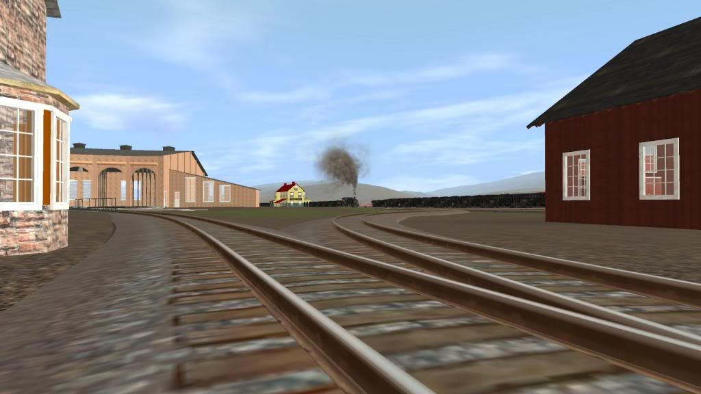
We've arrived at Orbisonia station which is actually located in the town of Rockhill Furnace. EBT General offices are located here and across Meadow street is the roundhouse and shop complex. The station is a slightly reworked model of the tourist era version with the wording on the sign changed to read like the smaller old sign that was located on the roof. After passing the station I'll wander around the shops and show a couple of shots taken 1st near the sandhouse looking back towards the station and the 2nd taken near the storage building that was the original farm house on the land the EBT purchased. Then we follow the No 17 thru the yard and past the coaling station and the water column.


The station and shops are on the right side and the yard tracks on the left. The lead going off to the left is the north leg of the large wye and also the start of the Shade Gap Branch.
RPearson_20140321_0108.jpg


Looking straight up Meadow St. No town buildings or houses at present but most all of the shop buildings are in position. The ice house is missing and so is the bus and truck garage.
RPearson_20140321_0110.jpg


I'm standing where the ice house should be and looking back toward the train and station.
RPearson_20140321_0112.jpg


The old farmhouse and the lead to the turntable and roundhouse are on the left, on the right the back of the blacksmith shop
RPearson_20140321_0113.jpg


No 17 starting up again on the main line with the roundhouse off screen to the right the paint house behind the turntable
RPearson_20140317_0016.jpg


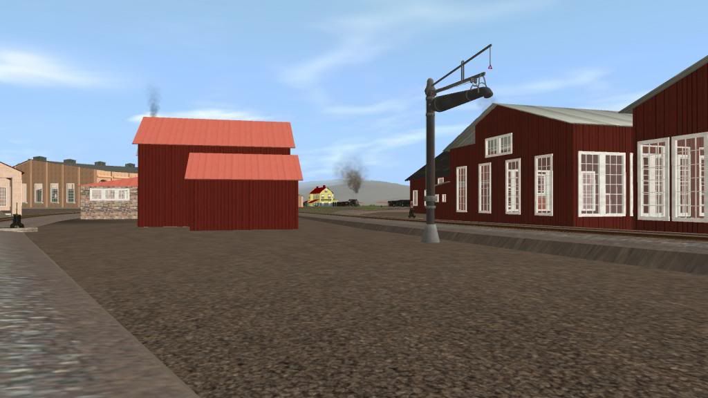
Bendorsey's EBT coaling station to the left side and the Cowboy's water column mostly hidden by No 17. The ground textures and shrub/grass splines make a huge difference in the realism of the scene.
RPearson_20140321_0122.jpg


I like this shot and the one above alot. It's the closest I've come to the look of the EBT's shops and yard to date.
RPearson_20140321_0124.jpg


No 17 overtakes 16 at the water column. You might notice the lack of vegitation on the left.This shot was taken several days before the one above.
RPearson_20140317_0036.jpg


Bob Pearson
 
Last edited:
We'll continue with EBT No 17 but take a side trip down the Shade Gap Branch. We rejoin No 17 near Meadow St. in front of the Station. This is a 1st for me too since I don't think I've ever taken screenshots or even driven a train over this section of the route. I make up the track file with all lengths, curves, turnouts and grades to match exactly the data taken from the suvrey maps. Using HOG to create baseboard terrain from DEM data loses all georeferencing data. Accurately position the track file is a bit of a challenge. Usually I have to make a couple of trial fits before I'm satisfied. Once the main is in I have to do the something similar with the branch lines. Since only the start point (point of switch for the diverging turnout) is indicated on the main maps I use that as a reference and scale some location points on the branch to get the intercept angle correct in my cad drawings.

0
RPearson_20140321_0018.jpg


1
RPearson_20140321_0020.jpg


2 The shay is Ben Neal's 36ng B28-2 class. Pretty clase to McKelvey Bros Logging RR No 2 SN-3128 B36-2
RPearson_20140321_0025.jpg


3
RPearson_20140321_0026.jpg


4 You can see the upper switch back for McKelvey Bros rr above No 17.
RPearson_20140321_0030.jpg


5
RPearson_20140321_0031.jpg


6
RPearson_20140321_0037.jpg


7
RPearson_20140321_0042.jpg


8
RPearson_20140321_0043.jpg


9
RPearson_20140321_0046.jpg


Bob Pearson
 
Last edited:
You've been working hard Bob. My version has been resting on a data CD somewhere. If I can locate them, I'd be happy to zip up the structures I've built in case there is something there that you didn't get around to yet. If nothing else, you may be able to use something as a plug-in until you get around to it. I usually keep a copy of my Gmax files with each structure, so you would be free to modify as desired. No hurt feelings either way. Just an offer.
 
Hi Rick, I wouldn't exactly say hard but a little bit here and there over a long time with several long periods of inactivity. I usually do a new gnd file with each version of Trainz. They've gotten better over the years.

I'm visiting my sister-in-law in Flordia so I have to end up now. My time is not my own down here. But I'd certainly like to take you up on your offer. PM me thru the forum system and we can set something up.

Regards,
Bob

You got mail
 
Thanks Rick, I'll reply tonight probably. We're off to see a park someplace close by. I hope the alligators keep their distance I'd hate to have to defend myself. 8-( My sister-in-law says I should be relatively safe.

Bob
 
Thanks Rick, I'll reply tonight probably. We're off to see a park someplace close by. I hope the alligators keep their distance I'd hate to have to defend myself. 8-( My sister-in-law says I should be relatively safe.

Bob

Keyword there is "Relatively"...LOL
 
Back
Top