"Piglet" is an extension to "Hog", no pun intended

.
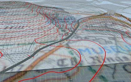
Before explaining let me state that the MicroDEM/HOG process does work and does yield reasonable results, but it involves a lot of manual action and requires more than a basic understanding of what's going on. You also have been said that there is another much simpler method but that one is not free.
Now, Piglet: GeoTIFF DEMs allow floating point vertical resolution in the format. It's an option, not a requirement, but the USGS Seamless Server makes use of it.
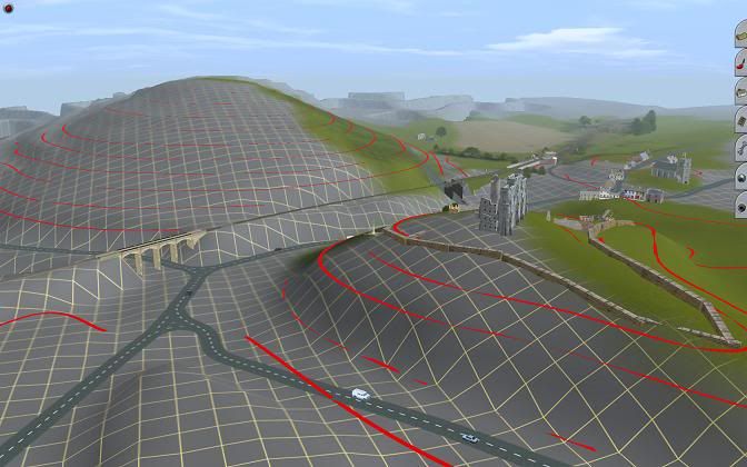
Floating point means, the elevation value is not restricted to integers like 200m, 201m, 202m but allows for intermediate value: 200.2m. While this is irrelevant for the rock faces which form the gorge it's of much importance for a more even landscape, like the plateau above the gorge or the approach from Canon City. Better vertical resolution eliminates terracing effects in the created terrain, without the need for low pass filtering which would lose detail.
However, the standard transfer process from MicroDEM using greyscale or colour images cannot benefit from this. This transfer type restricts the number of different elevation levels to 256 (greyscale) or 128 and less (colour). No room for fractions of meters.
What you could do instead is to sve the data from MicroDEM not as an image but as a series of elevation pints in text format, called XYZ.
The Piglet utility is part of the HOG package. It can read XYZ and creates a new image file with 16bit colour depth, or 65636 different elevation levels. HOG itself can then read these 16bit Piglet images and process them as with the standard transfer, but with increased resolution.
")


")