5m vs 10m grid

Approach_Medium

Trainz Addict
Hi;
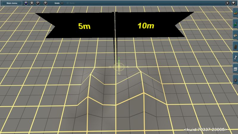
In the past, the default grid was 10m, and when I wanted to change a baseboard to 5m it had to be done one bbd at a time. But now, in TS12+SP1+HF4 it seems that changing one bbd from 10m to 5m changes the entire route. Is this correct, or am I just a little confused?

Thanks

CP
 
How did you do that?

When I change one baseboard to a 5m grid, the neighbouring board doesn't change from its 10m grid.
martinvk_20140102_0000.jpg
 
I'd like to know too. :)

This is both a good and bad thing. There are cases when we want 5m grid for detailed terrain areas but are okay with the 10m grid for distant areas where that kind of detail isn't needed. This also presents a problem with the texturing. If a route has been worked on for ages, and I mean for many years, then there will be a majority of 10m grid baseboards. The textures align themselves with the baseboards and when this is changed to a 5m grid, this messes up the texturing horribly. I found this out the hard way on a route I was working on and had to delete and rebuild a section. The textures had lost their mapping and rotation and became single square blocks aligned along the grid lines. Instead of having smoothed and dithered textures, I had a checkerboard of the various textures I used.

John
 
I don't see a difference between 5m and 10m when I use the terrain tools.
When I first create the route, I believe it is 10m grid. I then right-click the add-ground button and select 5m grid. Then I add a new baseboard.
There is no difference between the two when I use the height-up tool to create a little hill.
How do I change/verify the grid?
In previous versions of TS, when you selected 5m grid on a baseboard that was 10m, you would get a warning that converting was irreversible. I don't get any warning at all now with TS12+SP1.
Is there something I am doing wrong here?

CP

Edit: OK, I see it now. I was leaving out the most important step. After selecting 5m grid, I needed to click on the baseboard I wanted to change. That is when I got the message. I had been just right-clicking the add ground button while the "cursor" was on a baseboard, thinking it would show me whether it was 10m or 5m just by right-clicking the button.
 
Last edited:
As in Transdem, with 1/9th arc data the DEM points are in huge quantities, over that of 1/3 arc or 1 arc data.

So it is with Trainz ... your PC only has to decypher 4 DEM points using 10m grid ... as with a 5m grid it would have to remember 9 DEM points per 10m grid ... If you used 5m cutting all over your route I would think that framerates might be double as bad ... as your PC video card is computing, decyphering, remembering, and displaying millions of DEM points per second ... as well as remembering each and every railcar and loco location, and movement, route wide (even though they are out of visible sight) ... Your PC is still struggling to see the "Big Picture" of a Trainz route.
I have been using mostly 1Arc DEMs due to the huge routes I like to build. I tried one large route using 5m grid through TransDem, and the map file was over 1Gig! It loaded, but it was very slow even with nothing on the map. When I re-generated the same route using 10m grid, it was only about 300M.

CP
 
You will notice the difference if using Transdem and select the combined 5m (around the immediate route) and 10m (more distant terrain) option. The maps display sharp and clear on the 5m grid but much more blurred and indistinct on the 10m. Can't say I've noticed much difference how the hills themselves render though.

The advantage in using the dual system is a huge increase in Surveyor performance and a somewhat reduced map file size.
Funny - I've never used the "route only" option when creating maps from TransDem. I am doing that now, as I write this.
BTW: Ronald has just released TransDem ver 2.5, which comes as 32 or 64-bit. So now I am using the 64-bit and it is far faster, and handles much larger files than does the 32-bit version.

CP
 
Back
Top