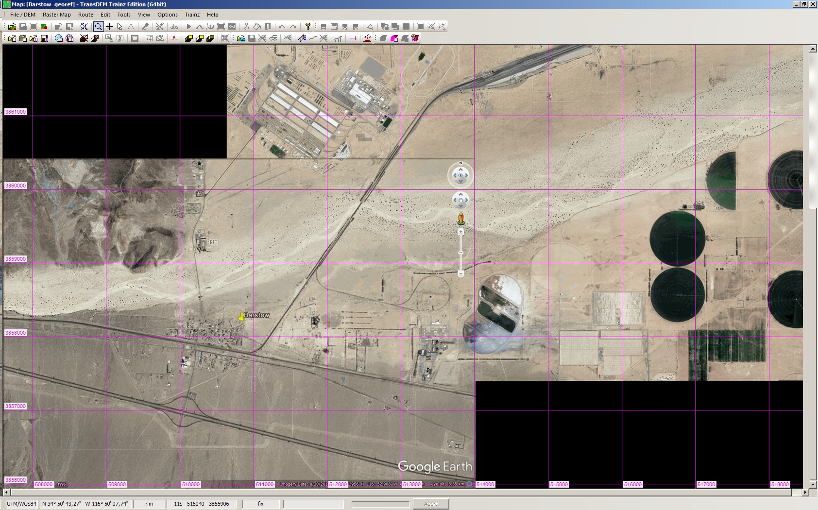
So here's my dilemma. I've whipped up a DEM in Transdem and Used a Google Earth tutorial form a few years back to add google images as my rastor maps. So for so good right? But as I work my way along I have noticed some of the maps not lining up right.
Now I've pressed "R" and "N" in Google Earth to reset the view rotation. I am at a 5km zoom level. (5.00km to be exact.) I've saved the image and the location. I've imported them in to TransDEM and converted them to UTM tiles. But at this point I am stumped. I'd just roll with them being slightly off, but after 1 or 2 images my track work starts to get wonky.

Any advice?
Now I've pressed "R" and "N" in Google Earth to reset the view rotation. I am at a 5km zoom level. (5.00km to be exact.) I've saved the image and the location. I've imported them in to TransDEM and converted them to UTM tiles. But at this point I am stumped. I'd just roll with them being slightly off, but after 1 or 2 images my track work starts to get wonky.
Any advice?
")