Now that the trip mentioned in this post is in the past, I've started to build my version of the Shinkansen line from Hiroshima to Okayama. That's the one I had the pleasure to ride during the tour. One other incentive to do that line was that that it goes through a lot of tunnels which reduces the view to just outside the window for much of the ride. Bit of a downer during the trip but makes landscaping so much easier since there will be less to see.
I started with an overview in Google Earth

Next a side trip to TransDEM to get the terrain and rail network to put into Trainz.
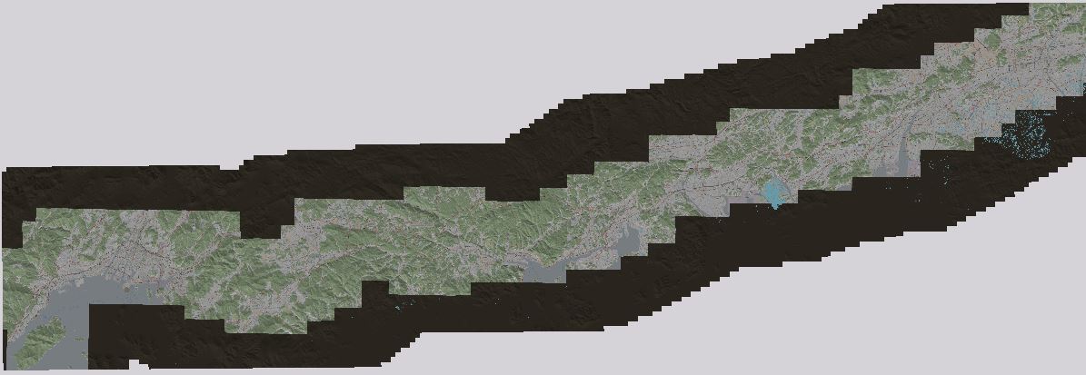
Still have to trim the blank tiles to lighten the load on the GPU.
A closer view of one of the stations on the route
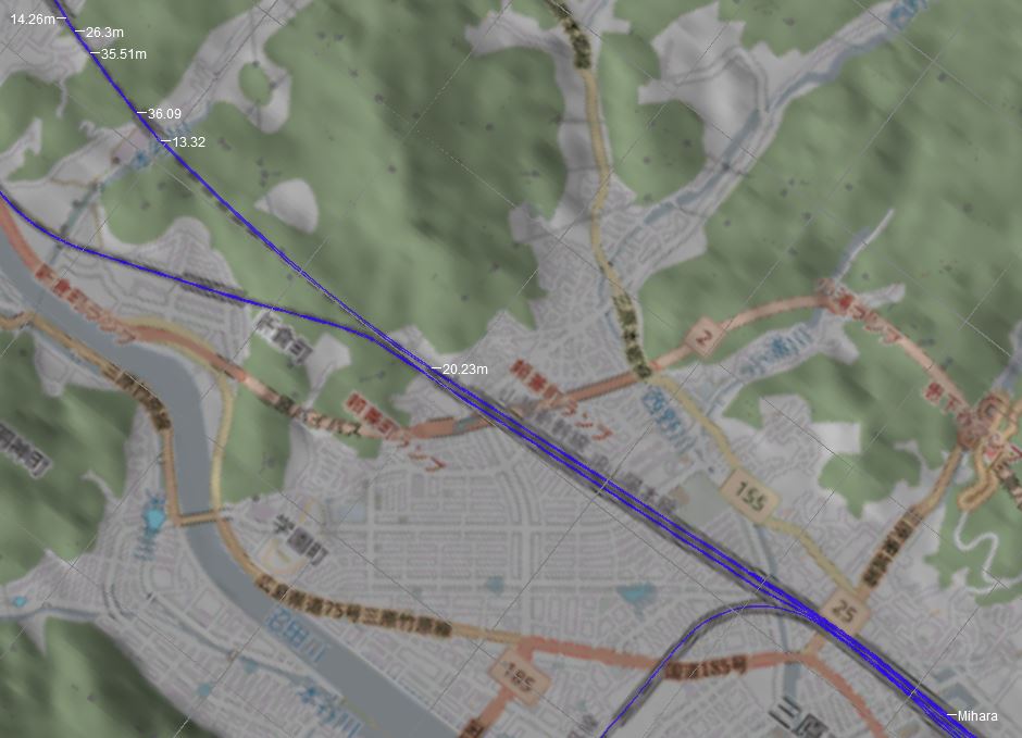
At the tunnel entrances and exits I placed markers to help with the alignment and elevation of the track
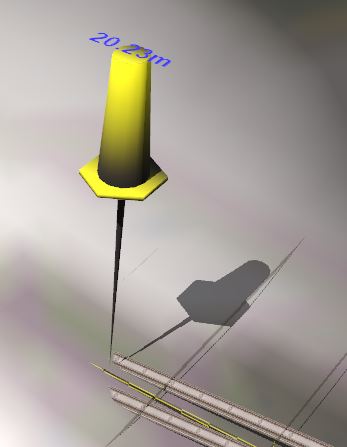
To help maintain a constant spacing, I used some guides with 5m spacing (two tracks)
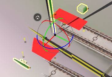
and 4 tracks

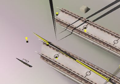
Once the tracks are attached, the red parts are replaced by whatever track is attached. All that are visible in Surveyor and Driver are the little trackside monuments that also help space multiple guides apart if needed.
The guide pushpins are only visible in Surveyor
Now the long journey to complete the track network continues. First on the list is to remove all the extra spline joints that TransDEM made. Nice to control the alignment but by careful use of straightened track segments I get the same results along with a smoother track overall.
Still have to give a deep think about the level of landscaping I'll do. At the speed those trains move, most trackside scenery is a blur and with all the tunnels, there will not be much to see in the distance.
I started with an overview in Google Earth
Next a side trip to TransDEM to get the terrain and rail network to put into Trainz.
Still have to trim the blank tiles to lighten the load on the GPU.
A closer view of one of the stations on the route
At the tunnel entrances and exits I placed markers to help with the alignment and elevation of the track
To help maintain a constant spacing, I used some guides with 5m spacing (two tracks)
and 4 tracks
Once the tracks are attached, the red parts are replaced by whatever track is attached. All that are visible in Surveyor and Driver are the little trackside monuments that also help space multiple guides apart if needed.
The guide pushpins are only visible in Surveyor
Now the long journey to complete the track network continues. First on the list is to remove all the extra spline joints that TransDEM made. Nice to control the alignment but by careful use of straightened track segments I get the same results along with a smoother track overall.
Still have to give a deep think about the level of landscaping I'll do. At the speed those trains move, most trackside scenery is a blur and with all the tunnels, there will not be much to see in the distance.
