Trainz Plus Beta update - PC# 121380 & Mac# 121370

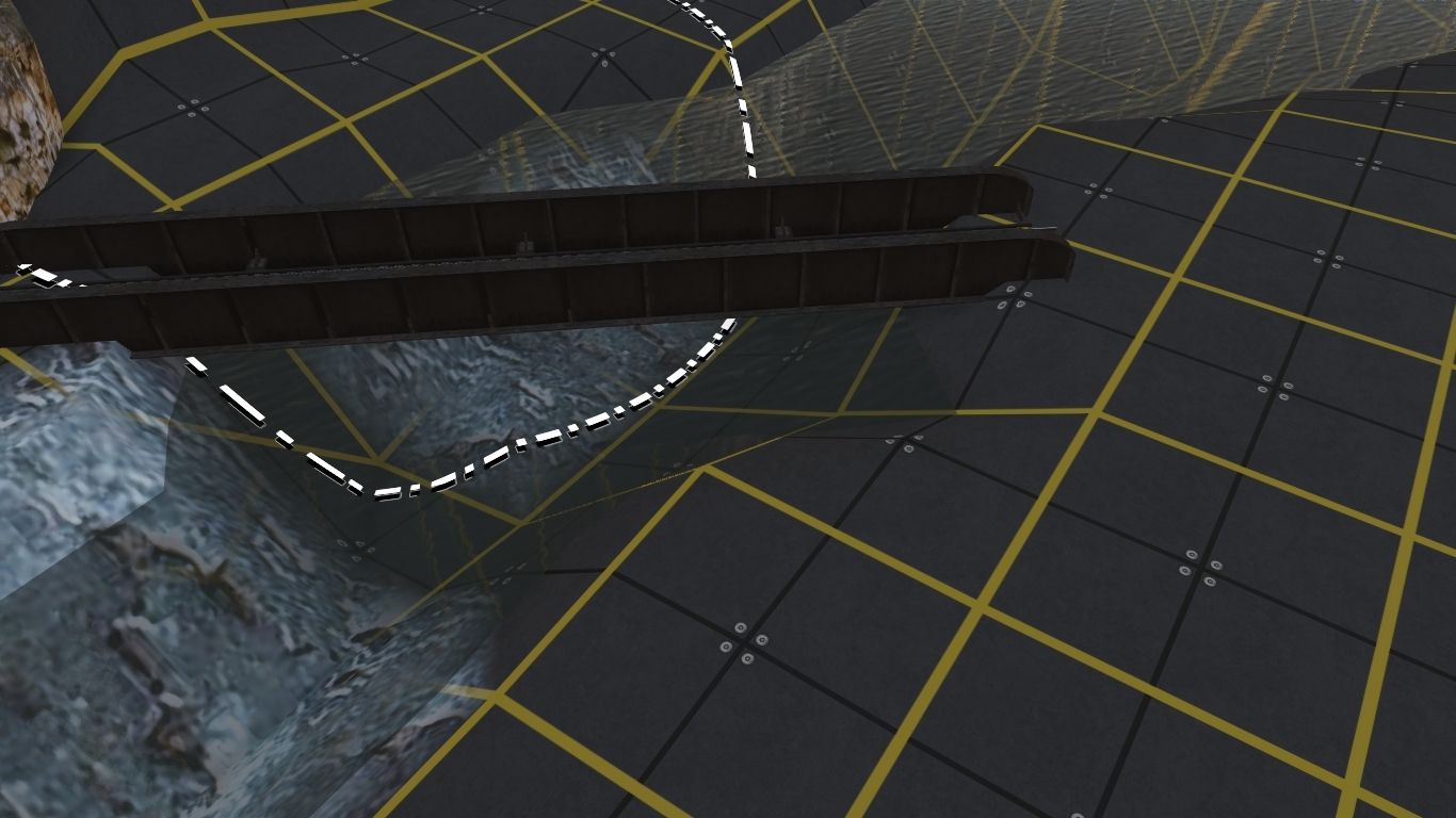
Alternatively, clicking on any spline highlights the whole spline so the ends become obvious (or just click and drag the whole thing without needing to see any spline points at all).

That is a technique that I stumbled across very recently while attempting to move a specific spline amongst a confusing number of other splines and I can confirm that it works. I could never do that in Surveyor Classic with the result that it was pure luck if I happened to select the correct spline circle on my first attempt. More likely I would have to move many of even most of them before I got to the right one.

Incidentally, the ability in S20 to select multiple spline segments (Shift and Left Click) or even an entire spline length (Double Left Click) and perform a single action, such as raise and smooth the ground or replace the spline or move them all sideways, on all of them at once has been a major time saver.
 
Tried the new properties window on an 2 track AJS station in this imported Swiss route
it was hard to find the little black icon to open it.

The interface looks nice and sliders work fine, but it takes so much screenspace
it would require an extra monitor.


And what is the most important property of a passenger station ?, the NAME and platform numbers


On conversion from 100240 (trs19 original) to 121380 the numbers got lost
which potentially breaks sessions.


I would start properties with a box where you can edit the name and track numbers
then followed by what you see in the screeny. and on default collapsed detail sections.


Then a nasty S2 problem I get everywhere, when ever I try to change the size of a window
I somehow by accident select or often move something else.
And if you do not undo at once, you can seriously damage your route.
 
My trains are not stopping at trackmarks and stations anymore. They run over red signals as well and stop well after there then since (accidently) installing the beta 121 380.

Everything worked ok before.
 
My trains are not stopping at trackmarks and stations anymore.
We haven't had any other reports of this issue. Please create a new test route with one track and one trackmark and see if it works.

From there, add signals and junctions and repeat to see if you can break it.

If not, then you need to troubleshoot your current route. Create a new session and try that.

If the problem is your current session, when you send to trackmark, what happens? Does the AI report "no path"? Something else?

Select the loco that is misbehaving and View Details and see if anything in the logs provides any guidance.
 
Then a nasty S2 problem I get everywhere, when ever I try to change the size of a window
I somehow by accident select or often move something else.
And if you do not undo at once, you can seriously damage your route.

A point that is true for all windows in all programs. I always make sure that my mouse pointer is at least within the borders of the window to be adjusted and when I left click that the pointer changes to a double headed arrow. If it doesn't then I immediately release and try again.

I've run into this issue more often in S20 due to the very cluttered interface with easily selectable objects filling the screen. A slight whiff of a mouse pointer and grass, track, or something else ends up out of place.
 
I'm not following what actions are being taken here that are causing unexpected results. Worst case when something is selected accidentally, Ctrl-D to deselect. If it has been moved accidentally, Ctrl-Z to undo.
 
I just ran a few tests on resizing the palettes and I cannot see the problem.

If you move your mouse onto the left, right or bottom borders of an undocked palette (docked palettes cannot be resized) the pointer immediately changes to a double headed arrow. When I see this I click the left mouse button and drag. It always works.

You cannot resize the palette from the top border but you can move the whole palette by clicking and dragging from anywhere inside the menu bar.
 
Clutter Questions in HD


Is 10m the smallest radius you can apply clutter in the HD mode?

How much penalty in FPS is there in the HD mode when using clutter? I read that the Clutter effects were being reworked and improved. What does this mean?
 
I was able to apply clutter at a brush radius of 2.5m on a 10m resolution route. If the radius was set to 2m the brush circle turned red.

I then switched to a HD route and was able to apply clutter at a brush radius of 2.5m also. The brush circle also turned red at 2m radius.

I do not know if it would depend on the clutter characteristics or not.
 
The configuration settings will affect smallest size possible. There is also a data trade-off, so allowing more detail will also use up the data allocation more quickly.

Best thing to do is to experiment to get the hang of it.
 
The configuration settings will affect smallest size possible. There is also a data trade-off, so allowing more detail will also use up the data allocation more quickly.

Best thing to do is to experiment to get the hang of it.

What is the configuration setting? Also where do you find how much data allocation you have used? What’s it based upon? For instance does filling two baseboards with clutter use up more data then just filling one base board? Or is it a function of how many clutter items you use? When I apply clutter I usually apply four or five items in a group.
 
When I apply clutter I usually apply four or five items in a group.

By "group" do you mean the contents of each individual clutter effect layer? For example: a single clutter effect layer is made of separate scenery assets (plants, rocks, etc) that are added together using the Edit Effect Layer... option. Each of my clutter effect layers are made from 3 to 6 different assets combined together.

What is the configuration setting?

Based on my description above and observations, I suspect that the "configuration settings" would involve a combination of the number of assets used with the set density and spacing values in each effect layer.

Also where do you find how much data allocation you have used? What’s it based upon? For instance does filling two baseboards with clutter use up more data then just filling one base board? Or is it a function of how many clutter items you use?

The only indication that I am aware of is the warning given in the Effect Layer Editor when you exceed the available resources (or resource space). If and when that occurs I scale back by reducing the number of added assets. Exactly what that level of resources is I cannot say. It may vary according to each users hardware (e.g. available RAM).

I have used both clutter and turfFx extensively in a very large route and have not encountered any issues of "over-use" (i.e. applying them to too many baseboards).

My observations.
 
Pware asked “By "group" do you mean the contents of each individual clutter effect layer? For example: a single clutter effect layer is made of separate scenery assets (plants, rocks, etc) that are added together using the Edit Effect Layer... option. Each of my clutter effect layers are made from 3 to 6 different assets combined together.”

Yes that is what I meant. As you do each of my clutter effect layers has 5 or 6 assets. I guess one question is if adding more assets to an effect layer use more resources? That is does adding 6 assets to a clutter layer use twice the resources as a layer with only 3 assets?
 
I guess one question is if adding more assets to an effect layer use more resources? That is does adding 6 assets to a clutter layer use twice the resources as a layer with only 3 assets?

A simple question but I don't think it will be a simple answer. It (in my opinion) could depend on the data in each individual asset that is being added. A single rock asset added to a clutter layer may add just 25kb to the total, a single grass asset may add 40kb, and so on. The total data used builds up as each asset is added.

Interestingly, one of my clutter layer presets contains 6 assets totaling 160kb of data but the same preset asset (the clutter effect layer itself) only shows as occupying 18kb in CM - no doubt much of that due to the Tzarc compression used. But it may also indicate that the presets only reference the individual assets and do not hold the assets themselves - in much the same way as duplicating an asset in a route only loads a single copy of the asset into memory but all displayed duplicates just reference that copy.

More speculations.
 
I've been playing around. I don't think some people really understand that HD terrain allows terrain to have ditches, follow tighter curves, and other minor variations. I have seen people do fills and cuts with HD terrain, that wasn't possible before.

My own amateurish efforts, I can see the beauty of HD Terrain. One problem might be, that we can now put more detail in, but should we spend the time to put in endless details or move on?

Anyhow 5m terrain:

Natural-Tunnel-Test-5m.jpg


HD Terrain.

Natural-Tunnel-HD-test.jpg


Still a lot to try out. I find it wonderful that the points are now so small, we no longer have that jagged effect forced upon the land.

I'm finding that I have to use reading glasses more and more. Count me in with those who want things easier to see.
 
HD
Terrain-on-build-119450.jpg
The HD Terrain version has solved one problem I had. You can see the texture above has a distinct change in character in the picture above. Its almost like the texture was applying LOD in the distance. In the HD Terrain version in build 121380 the texture is now uniform from top to bottom.
 
What about doing map overlays using images? Now we have HD terrain, can we now use higher resolution images as baseboard maps? If so how do we do it, and what size images? Can we overlay the terrain with an image? With TransDEM, it was more than just importing DEM data, it also overlays map images by texturing. If we could import an image and have it overlay the ground, as a single texture, then we can avoid the 16 texture limit and the image would follow the ground height. TransDEM also adds track, by KML for accuracy, but I’m not sure how to deal with that.
 
What about doing map overlays using images? Now we have HD terrain, can we now use higher resolution images as baseboard maps? If so how do we do it, and what size images? Can we overlay the terrain with an image? With TransDEM, it was more than just importing DEM data, it also overlays map images by texturing. If we could import an image and have it overlay the ground, as a single texture, then we can avoid the 16 texture limit and the image would follow the ground height. TransDEM also adds track, by KML for accuracy, but I’m not sure how to deal with that.

TransDEM also has UTM-Tiles which are similar to the basemaps assets. I've never used them before, but these may become the way to go in the future once the HD Terrain becomes mainstream.

KML data can be imported. You do this through the Simple Route editor by clicking on open route. In the list of files are various file types including .kml.

I know about those in TransDEM. I can’t think of a way for N3V to add all that in. TransDEM does a lot of things to make it easier for us.


We have this wonderful new capability but 3rd party tools will not be able to adapt to it. N3V will not release any information on internal formats, there is no intermediate formats, TNI doesn’t cover surveyor, and the file formats keep changing. My opinion is 3rd party software is going to die out in most cases.


I have spent hours this weekend trying to decipher HD Terrain just for the basic height. I have ideas, but I don’t know how many more hours it will take. The previous 5/10m mapfile_x_y.gnd was at least understandable for the height points, although I have to figure out the edges between the baseboards.


Sorry, I got in to this as I realized my request for DEM import is only part of the needed solution.
 
Back
Top