Install the app
How to install the app on iOS
Follow along with the video below to see how to install our site as a web app on your home screen.
Note: This feature may not be available in some browsers.
You are using an out of date browser. It may not display this or other websites correctly.
You should upgrade or use an alternative browser.
You should upgrade or use an alternative browser.
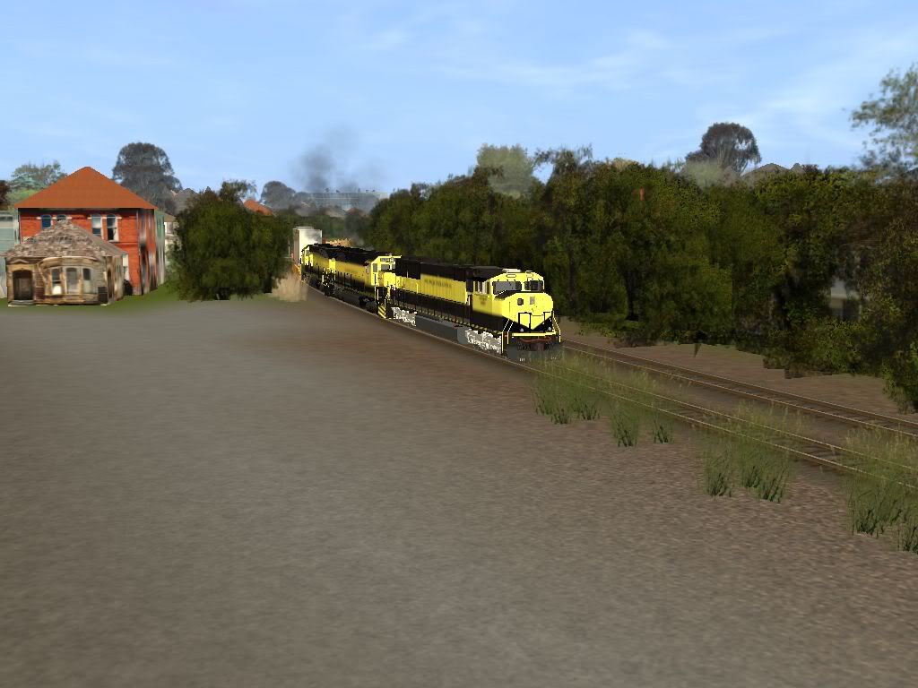
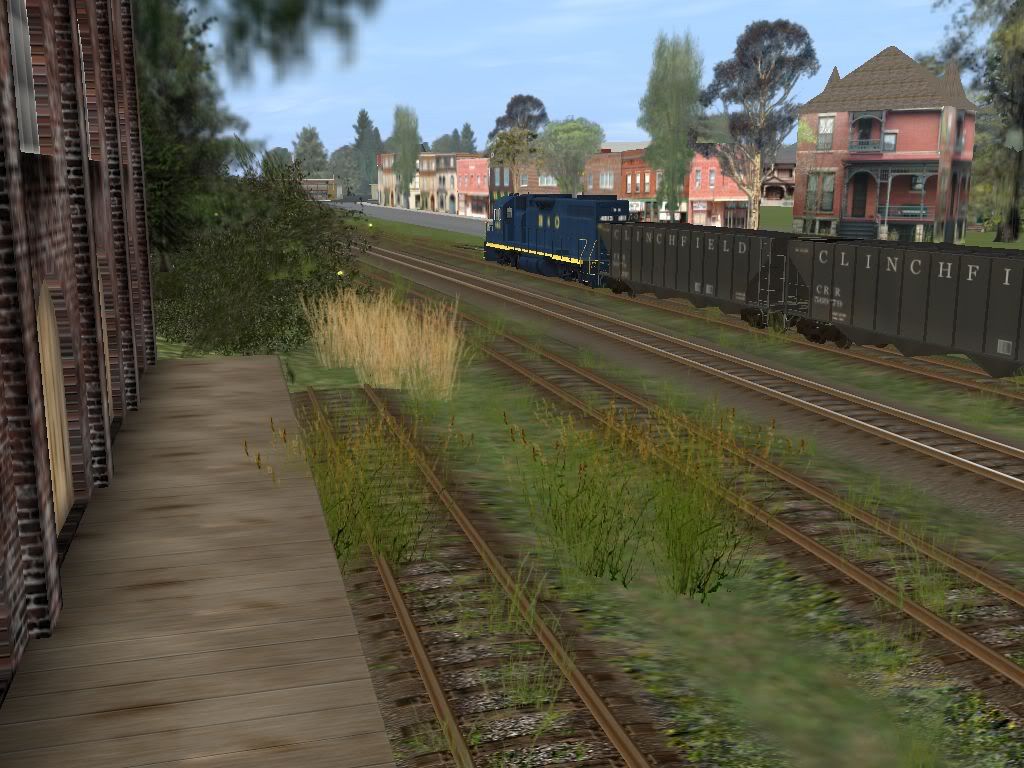
Susquehanna (NYS&W) 1024x768
- Thread starter CincySouthernRwy
- Start date
CincySouthernRwy
Trainz Jedi
I prefer the "Susie-Q" from the 1960's with the miniskirt that they painted on at least one green 40' boxcar:
http://www.auran.com/TRS2004/DLS_viewasset.php?AssetID=34383
In the 1940's or so, a local newspaper printed a cartoon lampooning NYS&W's bankruptcy filing and Trustee Kidde's success in producing black ink from red. It was an old woman in a coffin riding the rails. She was sitting up looking forward, and the banner on the coffin said, "Funeral Postponed".
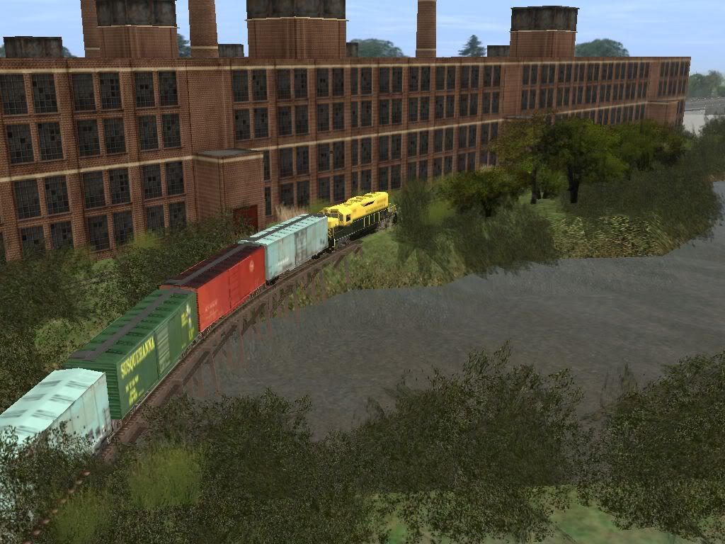
An eastbound stack train, SLN-4 at an underpass in Paterson, NJ caught me by surprise (gotta change those trucks!):
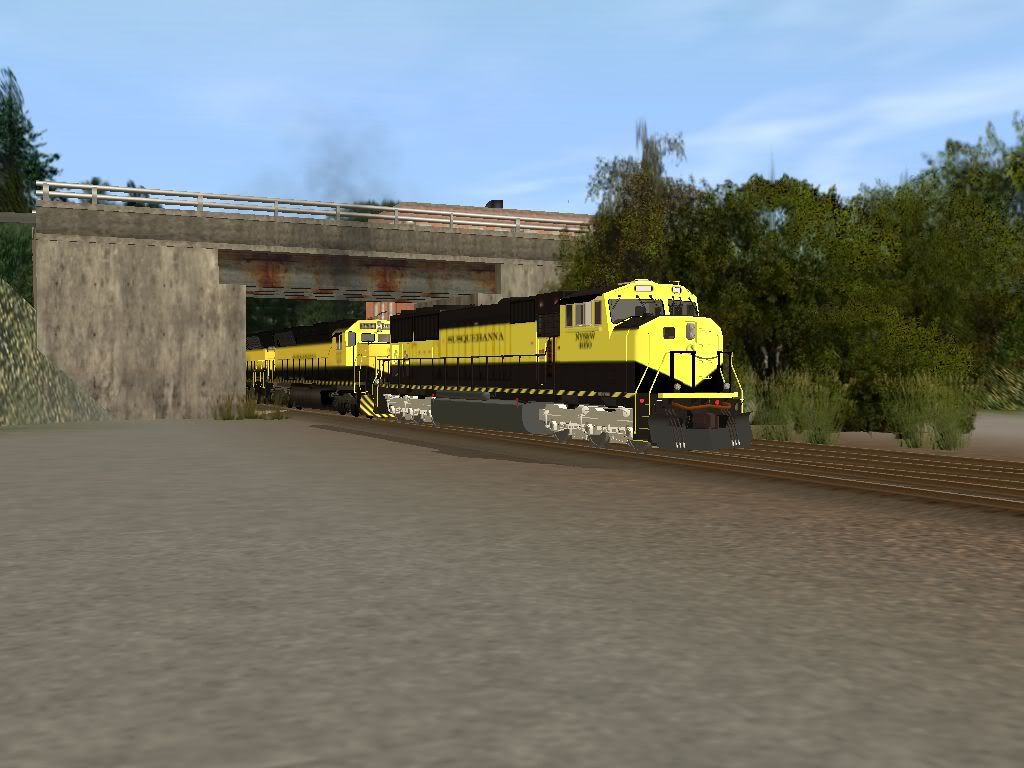
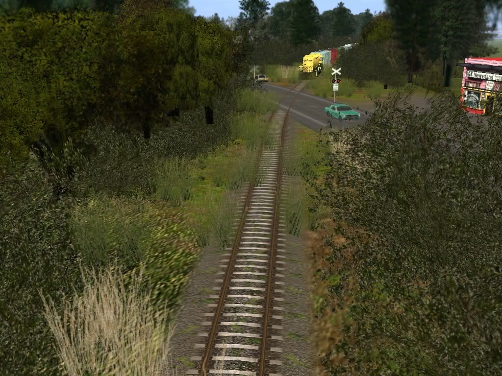
Hey?!?! Where'd my crossing signals go?!?!?:hehe:
Yes, the trim pieces on that station have been corrected. Somehow I missed them the first time.
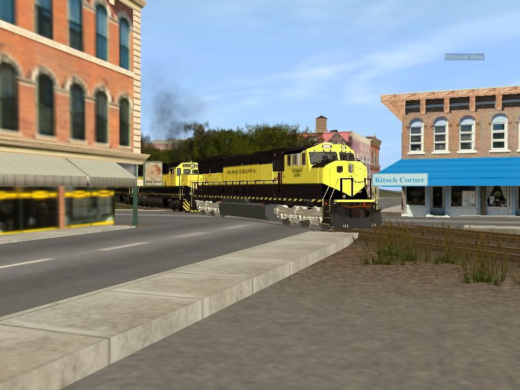
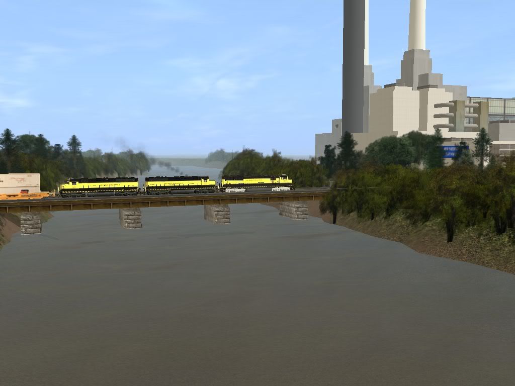
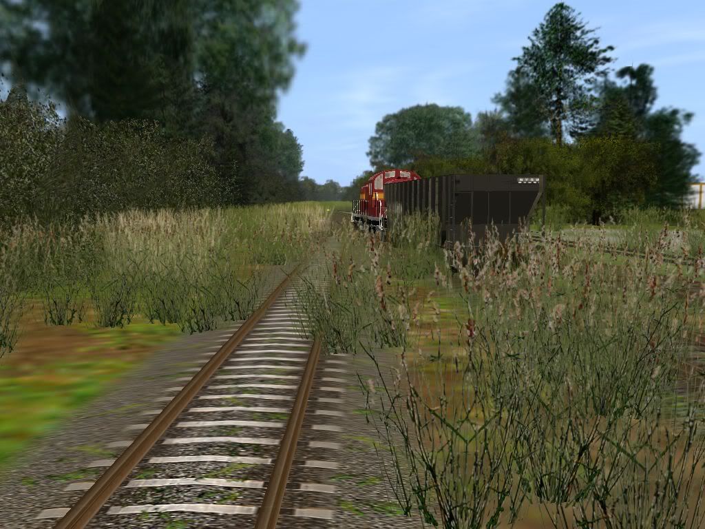
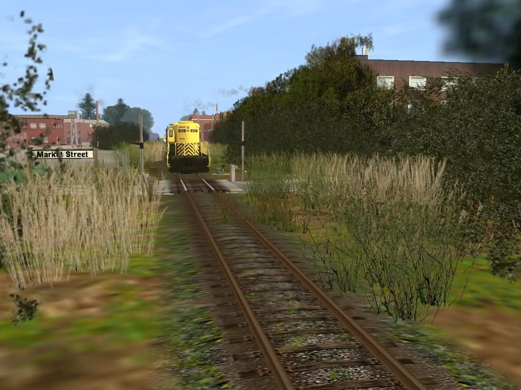
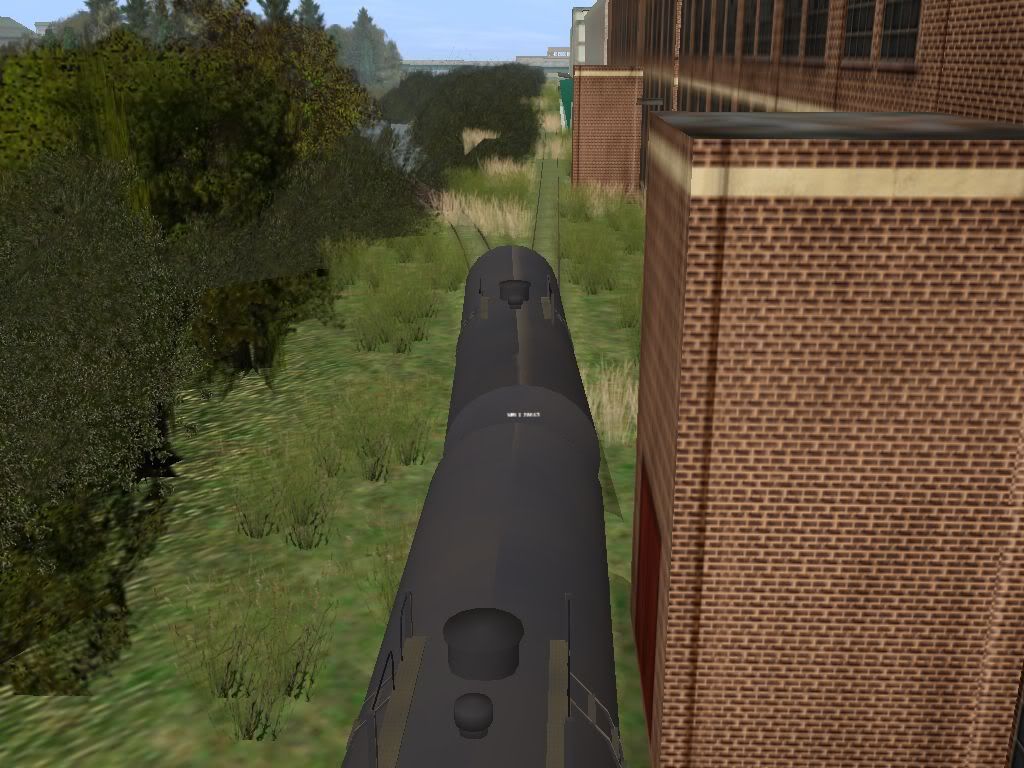
Favorite photo spot - Marcal Paper by the Passaic River:
I keep counting ten pictures, not eleven, by the server insists IT is right, so I had to delete one...
http://www.auran.com/TRS2004/DLS_viewasset.php?AssetID=34383
In the 1940's or so, a local newspaper printed a cartoon lampooning NYS&W's bankruptcy filing and Trustee Kidde's success in producing black ink from red. It was an old woman in a coffin riding the rails. She was sitting up looking forward, and the banner on the coffin said, "Funeral Postponed".
An eastbound stack train, SLN-4 at an underpass in Paterson, NJ caught me by surprise (gotta change those trucks!):
Hey?!?! Where'd my crossing signals go?!?!?:hehe:
Yes, the trim pieces on that station have been corrected. Somehow I missed them the first time.
Favorite photo spot - Marcal Paper by the Passaic River:
I keep counting ten pictures, not eleven, by the server insists IT is right, so I had to delete one...
CincySouthernRwy
Trainz Jedi
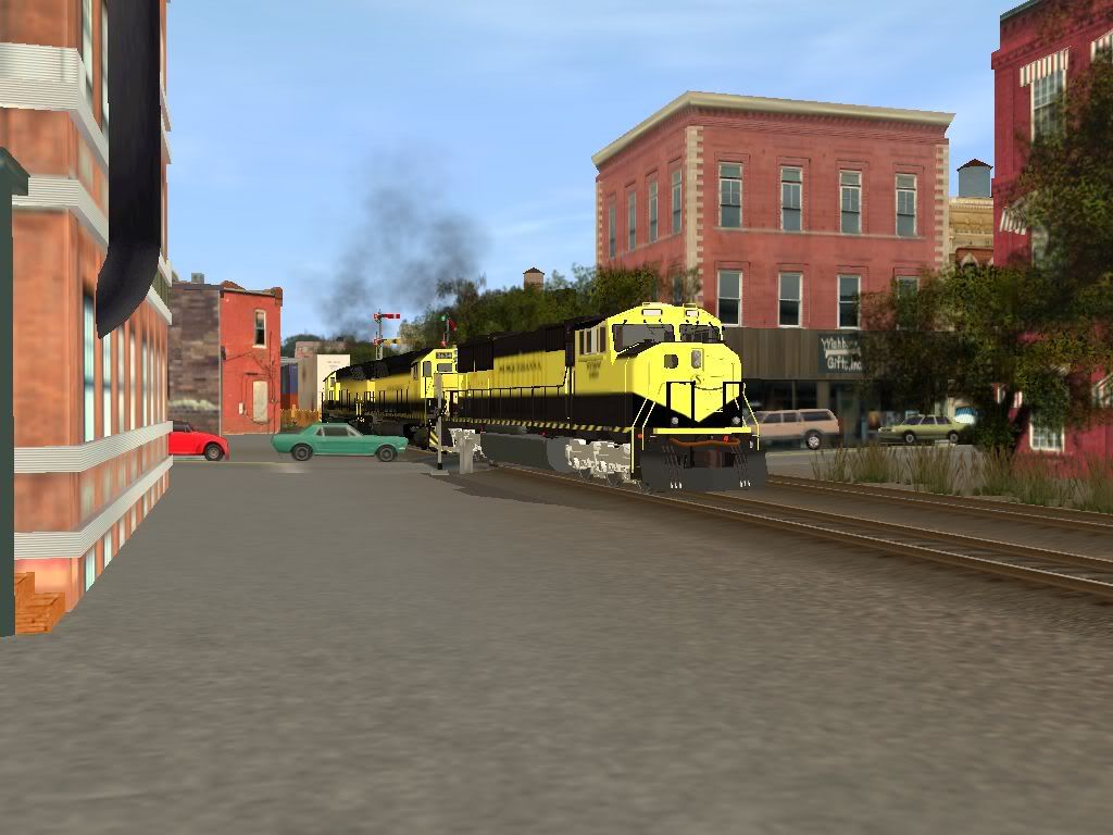
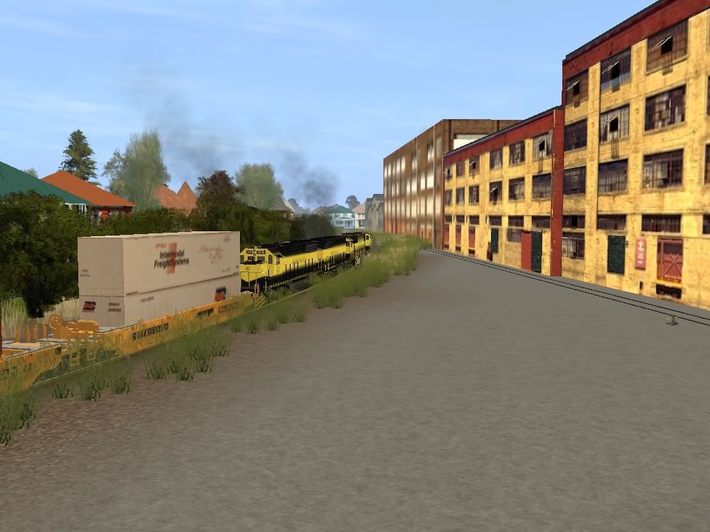
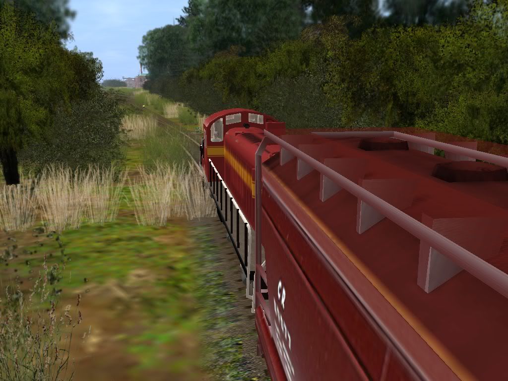
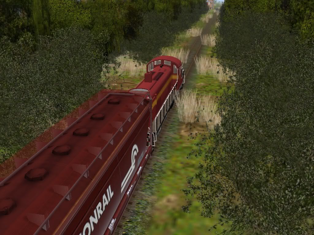
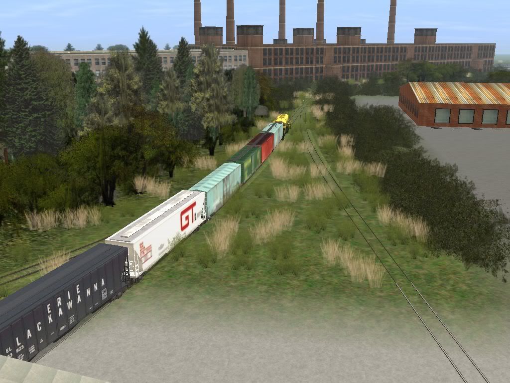
One more classic NYS&W shot - crowded NJ buildings, weeds, Yellow Jackets, and double stacks:
Hey?!?! Where'd my crossing signals go?!?!?:hehe:
I keep counting ten pictures, not eleven, by the server insists IT is right, so I had to delete one...
That's because that laughing face above counts as an image.
 I use alternative emoticons sometimes to get around it (i.e. =) , =D , etc... )
Nice shots btw.
")
:wave:
Gisa ^^
jadebullet
might be back?
You know what, sign me up as a beta tester. I am very interested in running this route when it is ready.
CincySouthernRwy
Trainz Jedi
Ah. Okay, thank you, gisa.
Sure thing, jadebullet. I need a few.
I planted lots more weeds in my last three days off of work. Getting closer all the time!
Sure thing, jadebullet. I need a few.
I planted lots more weeds in my last three days off of work.
Getting closer all the time!CincySouthernRwy
Trainz Jedi
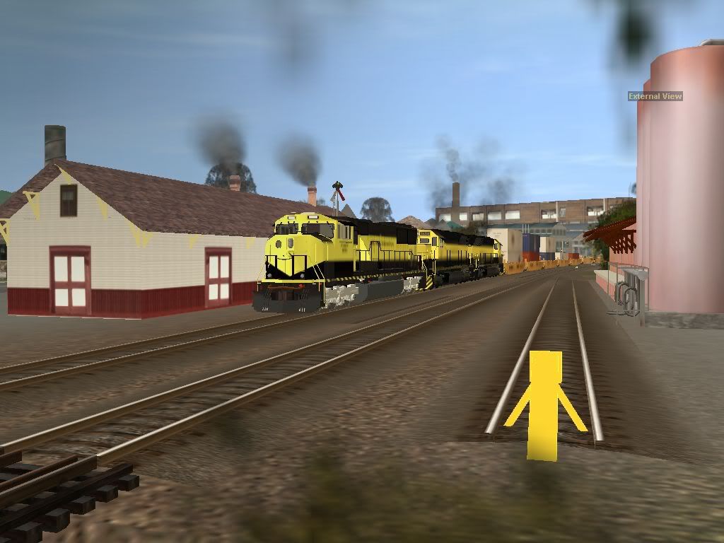
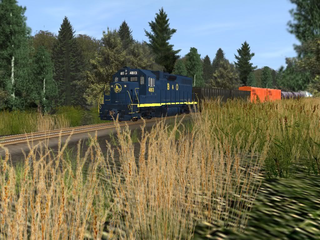
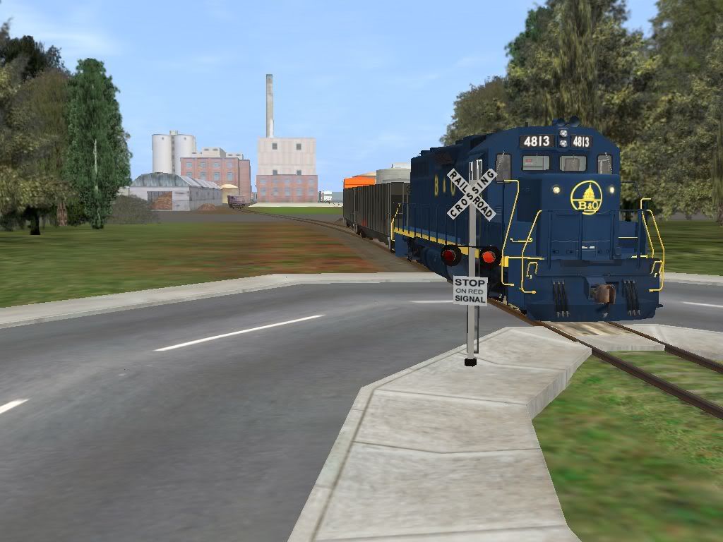
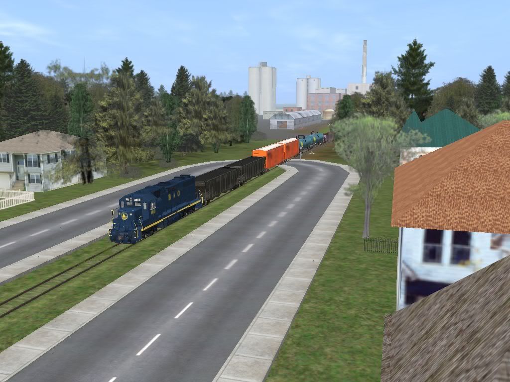
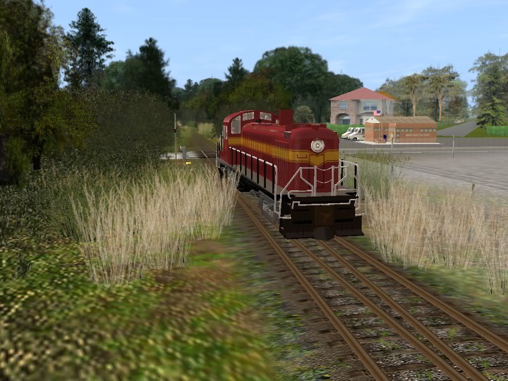
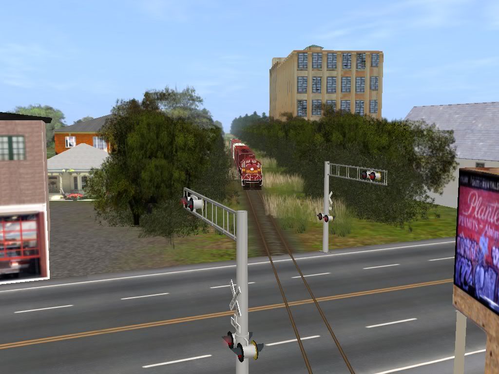
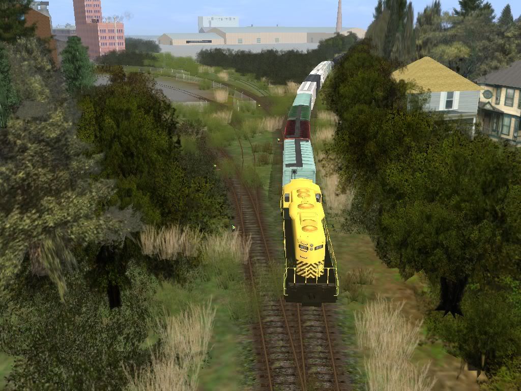
Today's local to Pompton Lakes will switch the sugar mill. Our power is a blue B&O GP38, oddly enough. (I wanted to be different.)
East end of town:
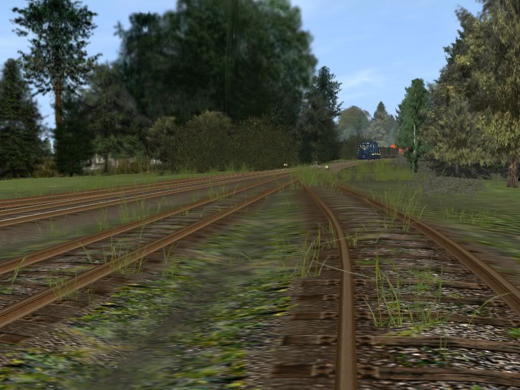
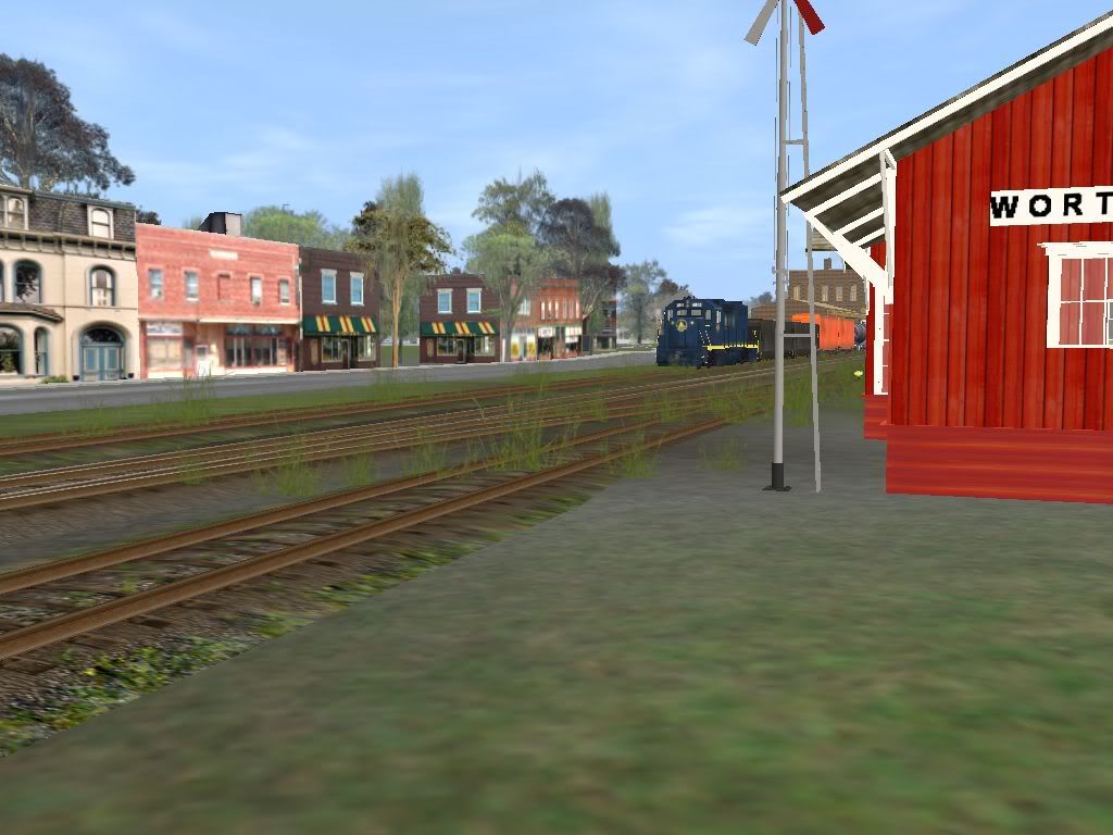
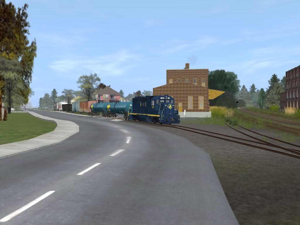
From the dock of a neighboring customer, I grabbed this shot of the local entering town on the running track.
Near the station.
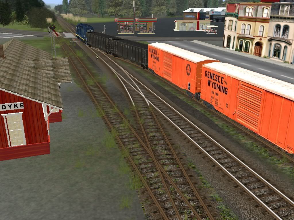
Backing into the sugar mill spur. The freight house and team track are also on this track.
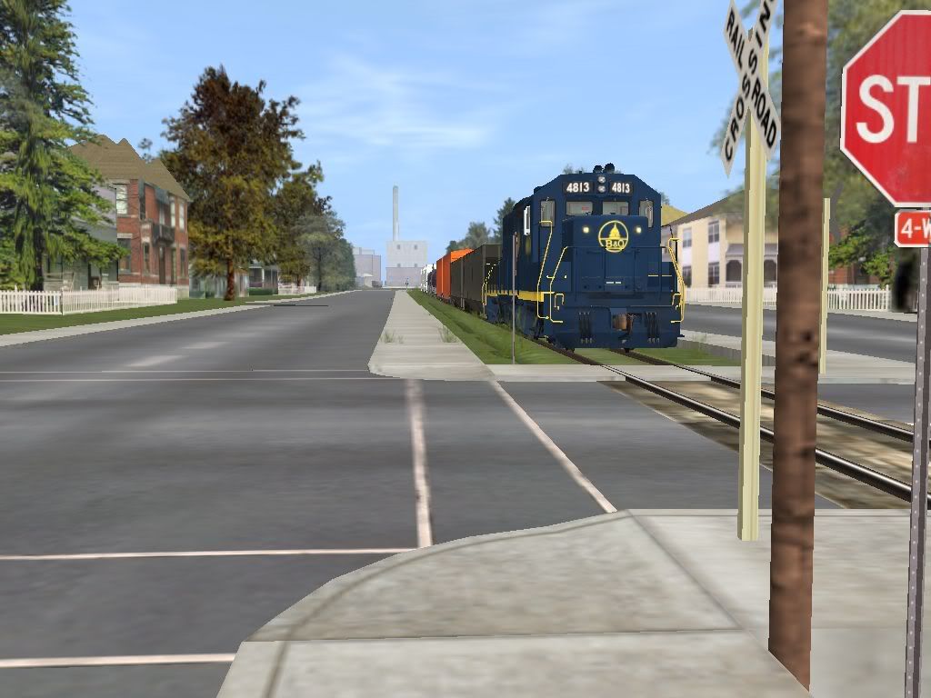
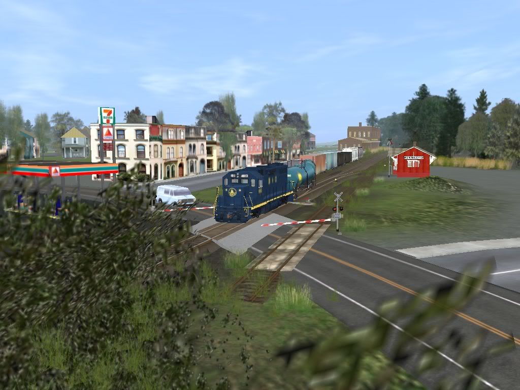
Backing through a crossing. Notice that we have to travel through a residential part of town. The road splits to allow the track through the middle!
Entering the plant's property. (I added the fence this morning.)
Backing toward the run-around to grab the covered hoppers.
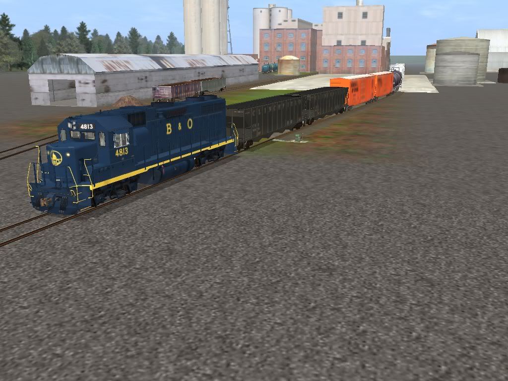
After swapping out the covered hoppers, we push the gons out of the way to grab the tanks.
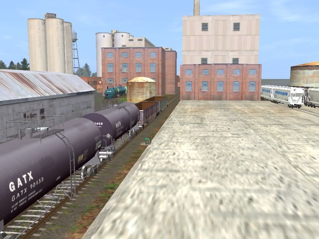
Moving between the buildings, we pick up the empty coal hoppers from the power plant and get the boxcars of finished sugar products ready for the grocery stores and bakeries.
East end of town:
From the dock of a neighboring customer, I grabbed this shot of the local entering town on the running track.
Near the station.
Backing into the sugar mill spur. The freight house and team track are also on this track.
Backing through a crossing. Notice that we have to travel through a residential part of town. The road splits to allow the track through the middle!
Entering the plant's property. (I added the fence this morning.)
Backing toward the run-around to grab the covered hoppers.
After swapping out the covered hoppers, we push the gons out of the way to grab the tanks.
Moving between the buildings, we pick up the empty coal hoppers from the power plant and get the boxcars of finished sugar products ready for the grocery stores and bakeries.
CincySouthernRwy
Trainz Jedi
After the crew finishes swapping out cars, it's time to place the new cars and put the gons back:
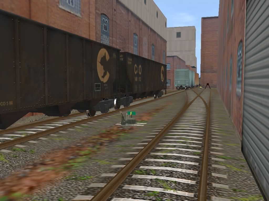
The engine squeals as it rounds the curve and passes the large freight house.
Snaking through the curve from the running track to the mainline.
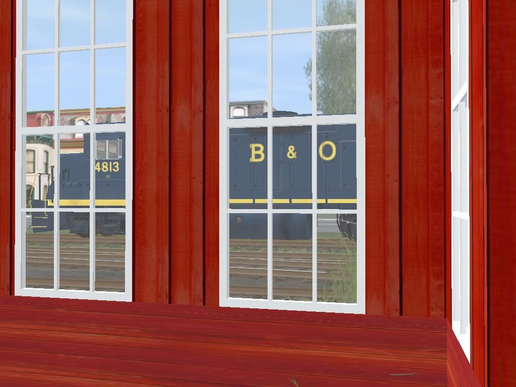
Artsy shot of the power through the station's bay window.
I hope to do a similar tour of the Lodi, Passaic, and Edgewater Branches. With authentic power, of course.
The engine squeals as it rounds the curve and passes the large freight house.
Snaking through the curve from the running track to the mainline.
Artsy shot of the power through the station's bay window.
I hope to do a similar tour of the Lodi, Passaic, and Edgewater Branches. With authentic power, of course.
CincySouthernRwy
Trainz Jedi
Just a quick update - I think most of the vegetation is done... of course, as I write this, I've decided to remodel the eastern end a bit.
Looking at Krause & Crist (1980) and Tupaczewski (2004) and Google Earth/Maps, I've decided to strike a balance in how the line is represented from Little Ferry east. The few photos I have, mostly in the Morning Sun book, show a reed overgrown wetland with a single track down the middle and Susquehanna Transfer somewhere in the middle with several viaducts overhead.
Google shows LOTS of large warehouse-type buildings, light industry, some roads, overpasses, several crossovers to the former Erie line, and little of the wetland scenery left. The one picture of Marion Jct. (West End) that I've seen looks like it is in the middle of a city. Modeled as wetlands, it appeared that I hadn't done much with the line and it always looked disappointing. So I've blended the two versions, which fits the nature of this layout anyway.
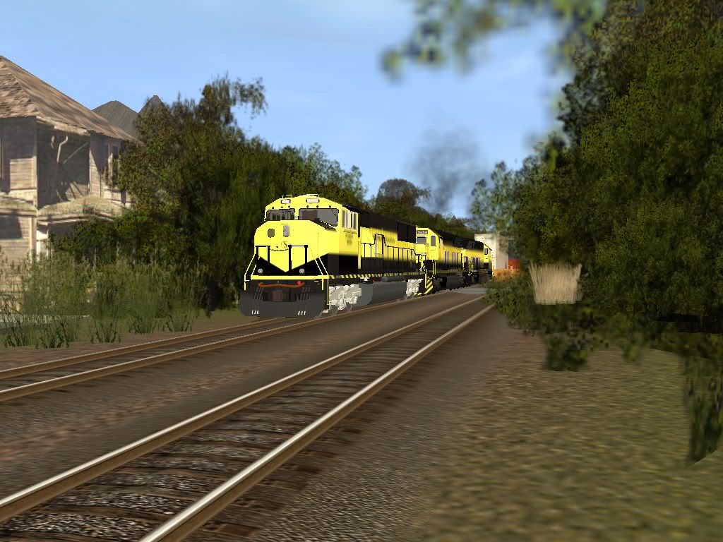
A few pics of the Passaic Branch - here a Delaware Otsego RS3 heads off the main and down the branch:
First stop is to run around the cars and grab a few off the rear for the first customers. Not a realistic operation, but it made things more interesting and allowed me to test some switchstands.
At the end of the siding and hitting the first crossing. I think this is former LASB 102.
Pulling the hoppers off the rear.
Back on our way "railroad west" (south).
More later!
Looking at Krause & Crist (1980) and Tupaczewski (2004) and Google Earth/Maps, I've decided to strike a balance in how the line is represented from Little Ferry east. The few photos I have, mostly in the Morning Sun book, show a reed overgrown wetland with a single track down the middle and Susquehanna Transfer somewhere in the middle with several viaducts overhead.
Google shows LOTS of large warehouse-type buildings, light industry, some roads, overpasses, several crossovers to the former Erie line, and little of the wetland scenery left. The one picture of Marion Jct. (West End) that I've seen looks like it is in the middle of a city. Modeled as wetlands, it appeared that I hadn't done much with the line and it always looked disappointing. So I've blended the two versions, which fits the nature of this layout anyway.
A few pics of the Passaic Branch - here a Delaware Otsego RS3 heads off the main and down the branch:
First stop is to run around the cars and grab a few off the rear for the first customers. Not a realistic operation, but it made things more interesting and allowed me to test some switchstands.
At the end of the siding and hitting the first crossing. I think this is former LASB 102.
Pulling the hoppers off the rear.
Back on our way "railroad west" (south).
More later!
CincySouthernRwy
Trainz Jedi
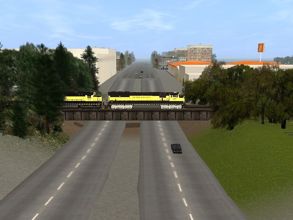
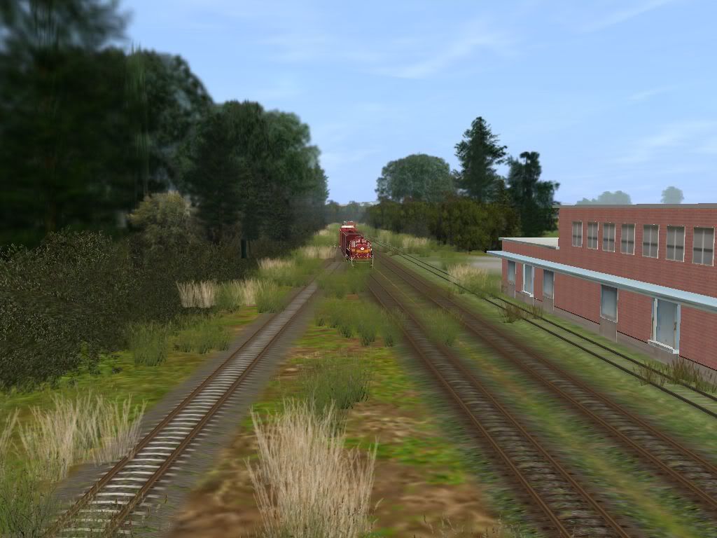
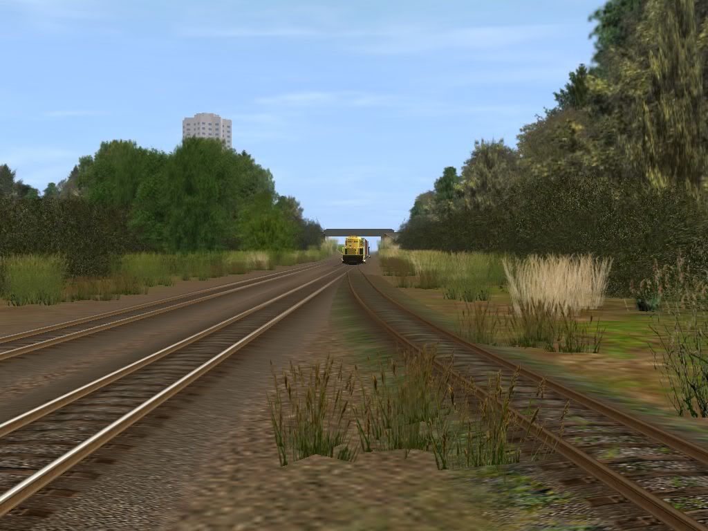
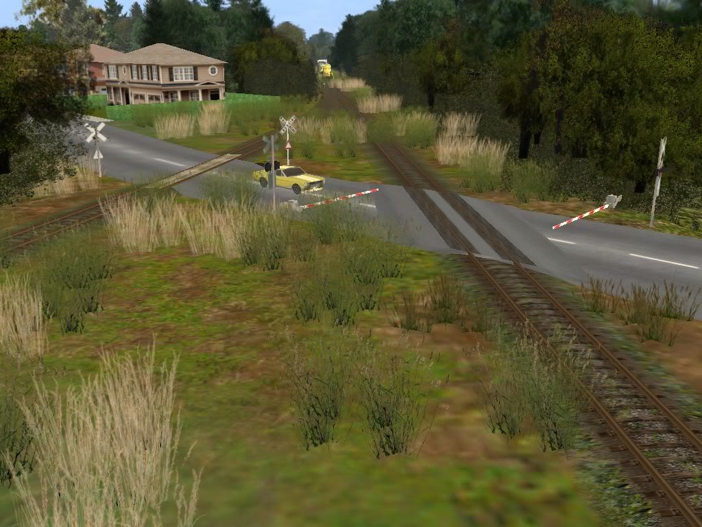
More Passaic Branch shots. After crossing Market Street, the local is about to cross Route 46.
On another day, we see the local handled by one of the three GP18's. Here is the train approaching Passaic Junction. The former Erie overpass at Passaic Junction Yard is in the background.
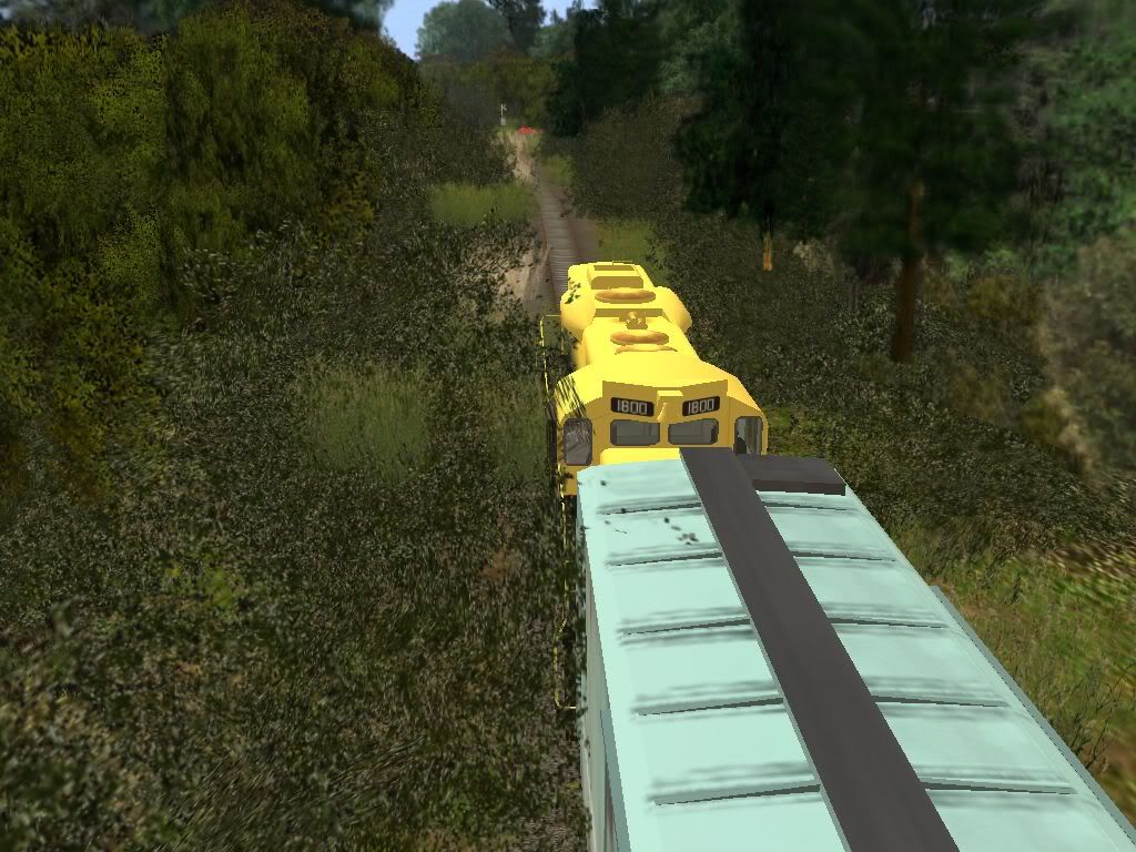
Here 1800 is running long hood-first.
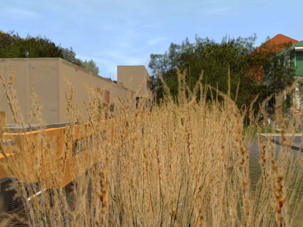
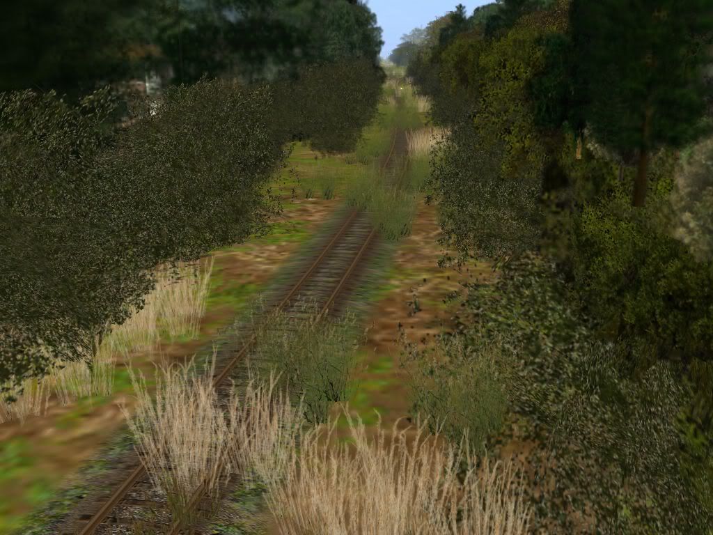
Turning around quickly while the local observes the 10 mph speed limit, one can only imagine how the wheels find the rails through the "sea of weeds".
Google only lists this street's name as "Blvd" in several spots, so one might guess that this is "Boulevard Blvd".
The scraping and smacking of tree limbs being drug along the sides of the train forces the crew to close the windows, even in the hottest days of July and August. Up ahead is River Drive crossing and then the Passaic River bridge.
 http://i189.photobucket.com/albums/z271/CNSR4500/Trainz/Susquehanna/PassaicLocal7-24-0917.jpg
On another day, we see the local handled by one of the three GP18's. Here is the train approaching Passaic Junction. The former Erie overpass at Passaic Junction Yard is in the background.
Here 1800 is running long hood-first.
Turning around quickly while the local observes the 10 mph speed limit, one can only imagine how the wheels find the rails through the "sea of weeds".
Google only lists this street's name as "Blvd" in several spots, so one might guess that this is "Boulevard Blvd".
The scraping and smacking of tree limbs being drug along the sides of the train forces the crew to close the windows, even in the hottest days of July and August. Up ahead is River Drive crossing and then the Passaic River bridge.
CincySouthernRwy
Trainz Jedi
Hard to imagine all this makes money for the railroad. This is River Drive crossing.
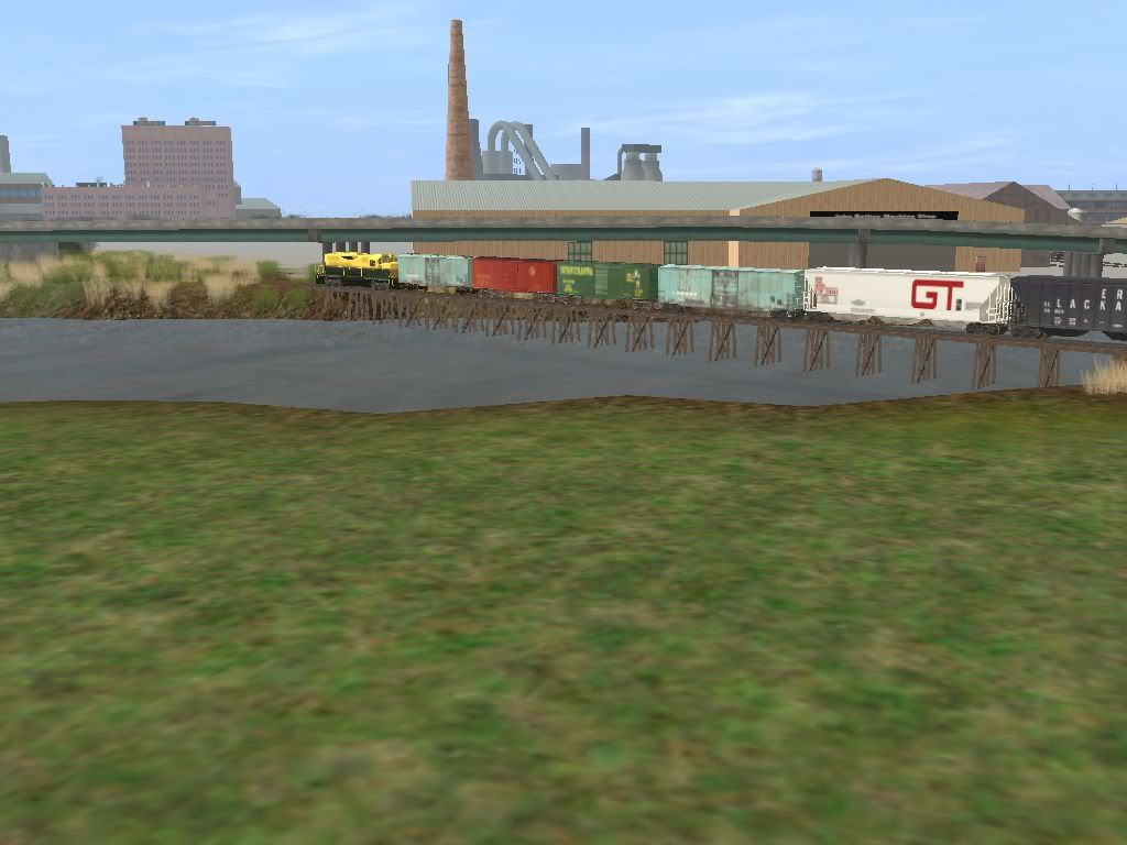
This is one of the shots that makes all the mosquitos, broken glass, and waiting for lunch worth it. Yes, that bridge is wood! In reality, the bridge caught fire and burned around 1968. Susquehanna detoured over the Erie's Bergen County Line to reach their isolated trackage on Dundee Island for about two weeks before Irving Maidman decided to throw in the towel and give the customers to the Erie Lackawanna.
In Trainz, NYS&W keeps Dundee Island.

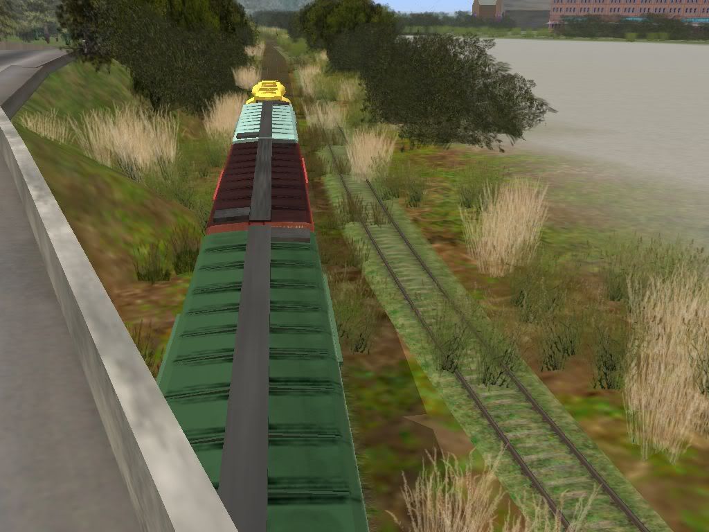
My best source of info for the Passaic Branch is USGS Topographic maps. They show a network of spurs serving several different spots. My imagination, Google Maps, and two photos published by Morning Sun fill in the rest. Here the local reaches the other side of the Passaic River and ducks under State Route 21.
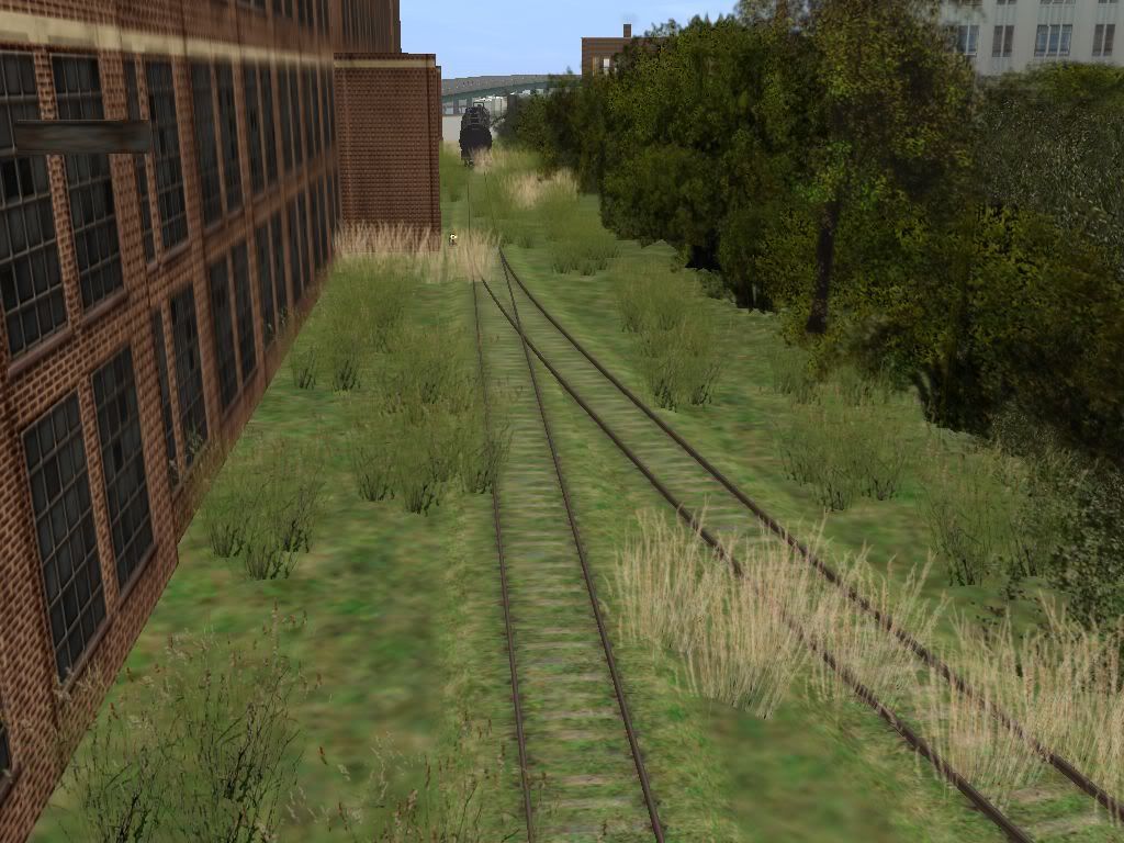
Track conditions here are no better...
First stop is to drop the caboose and shove two tankcars (coming towards the camera).
Yes, the left diverging route has a bridge over what I believe is the old Dundee Canal. At least, what is left of it...
Here is the same bridge the two tanks were shoved over. Now on the return trip we get a better look.
Further down the branch, the crew begins spotting the other setouts. We are almost at the end of the line, about 1,000 feet behind us, give or take.
This is one of the shots that makes all the mosquitos, broken glass, and waiting for lunch worth it. Yes, that bridge is wood! In reality, the bridge caught fire and burned around 1968. Susquehanna detoured over the Erie's Bergen County Line to reach their isolated trackage on Dundee Island for about two weeks before Irving Maidman decided to throw in the towel and give the customers to the Erie Lackawanna.
In Trainz, NYS&W keeps Dundee Island.
My best source of info for the Passaic Branch is USGS Topographic maps. They show a network of spurs serving several different spots. My imagination, Google Maps, and two photos published by Morning Sun fill in the rest. Here the local reaches the other side of the Passaic River and ducks under State Route 21.
Track conditions here are no better...
First stop is to drop the caboose and shove two tankcars (coming towards the camera).
Yes, the left diverging route has a bridge over what I believe is the old Dundee Canal. At least, what is left of it...
Here is the same bridge the two tanks were shoved over. Now on the return trip we get a better look.
Further down the branch, the crew begins spotting the other setouts. We are almost at the end of the line, about 1,000 feet behind us, give or take.
CincySouthernRwy
Trainz Jedi
UPDATE
I discovered a KUID conflict between some crossings I am reskinning and some switchstands. As a result, dozens, maybe even hundreds, of switchstands disappeared. I didn't replace them through TO properly, I guess. So I am replacing them manually. I changed the KUID numbers, then changed them in the config file. Apparently that is not the way to do it! Changing the number back didn't fix anything.
The good news is that I am mostly done already. I just have to hit Edgewater Terminal and east of Little Ferry. After that, I should be ready for beta-testing!
Remember this is Version 1. That means there will be future versions. Version 1 covers the line at its smallest, from West End to Butler, NJ. Future additions include extending the line to:
Sparta Jct. (Version 2),
to Hainesburg (Version 3),
to Stroudsburg, PA (Version 4, where current track laying has stopped), and
to Wilkes-Barre (Version 5).
I am thinking about including "alternate versions", for example, converting Little Ferry to a Sealand Terminal (Version 2.1), the new connector at Sparta Jct. (Version 2.2), Ridgefield Park Engine Terminal (Version 2.3), addition of the Hanford Branch (Version 3.1), extension to Kingston passenger station across the river from Wilkes-Barre (Version 5.1), etc.
At least, that is my plan. The easy part is that it only requires doing a bit more than the previous version had.
CincySouthernRwy
Trainz Jedi
Funny you ask. I'm preparing the CDP package for beta-testing now. It's finally ready. Been so bleedin' busy...
I've begun uploading the items I've customized for this route, plus a few goodies - the various Alco roadswitchers from the early Delaware Otsego years. Looking through the book "Shortlines to Stackpacks" gave me quite a bit of inspiration, and they were easy to make.
I tried to make a few moviez showing the NYS&W, BUT Windows Movie Maker refuses to produce anything that isn't dark and too red. I may still upload them to Youtube, but the color of the videos is very disappointing for the work I put into them.
Well, I've got stuff to package. TTFN!
Hey Adam you've done a nice job here. I used to visit relatives in eastern NJ and remember the Susie-Q well in the earlier days.
You might want to look at Bing Maps and the Bird's Eye View. This will give you a current view of the buildings (well perhaps 3-6 year-old overhead and orthographic photos), etc. You can see traces of old abandoned ROWs and bridge abutments where the track has long since been removed. This makes it a lot easier for seeing the area and getting an idea of what the trackage looks like than the overhead satelite view. Bing has that also and sometimes where the Bird's Eye view doesn't exist, the overhead shots are needed. The overhead view, by the way, is similar to what Google has.
John
Not to bad of shots....I like the ones with all the weeds over the trax......Them are always my fav :Y:
Whats holding up that crossing arm??? :hehe: lol
Whats holding up that crossing arm??? :hehe: lol
CincySouthernRwy
Trainz Jedi
Hey Adam you've done a nice job here. I used to visit relatives in eastern NJ and remember the Susie-Q well in the earlier days.
You might want to look at Bing Maps and the Bird's Eye View. This will give you a current view of the buildings (well perhaps 3-6 year-old overhead and orthographic photos), etc. You can see traces of old abandoned ROWs and bridge abutments where the track has long since been removed. This makes it a lot easier for seeing the area and getting an idea of what the trackage looks like than the overhead satelite view. Bing has that also and sometimes where the Bird's Eye view doesn't exist, the overhead shots are needed. The overhead view, by the way, is similar to what Google has.
John
Thanks, John!
I discovered Microsoft Live Search (now Bing) when I reached Midland Park. It's very nice when Bird's Eye views are available. Unfortunately, they aren't always available. But it helps. As I continue playing with it, I'm sure there will be updates. (I really need to check Saddlebrook with it.) Just last night I was looking at Lackawaxen, PA. The Bird's Eye View was great. The overhead appeared to be the exact same image used by Google.
Google used to have a feature - I haven't seen it in a while - that gave you a street view of places. Wherever the road was blue, click it, and you'd see it from the Googlemobile. :hehe: It was great for Rt. 46 over the Ridgefield Park engine terminal. Unfortunately, they seem to have killed that feature.
WCL...
Yes, I agree, those weedy views are my favorite, too. There's one further down the branch near the river that I refer to as "a sea of weeds between rows of trees". Somewhere in there is a track.
I've noticed that the Proxing crossings seem to "lose" their support mast for crossing gates. They are also the only crossing at this time that take YARN road splines properly. And I got permission to reskin them to look like the older wood crossings as one would see in the 1940-1990 time period. (The one in the pic you cite is actually wrong and was fixed.)
Last edited:
CincySouthernRwy
Trainz Jedi
Beta-testing has begun
I wanted this to be a separate post... (because I can? :hehe: )
The Susquehanna v1.0 has been sent for beta-testing as of this morning (10:25 EDT).

Phew.
Now on to version 5. :hehe: Seriously.
I wanted this to be a separate post... (because I can? :hehe: )
The Susquehanna v1.0 has been sent for beta-testing as of this morning (10:25 EDT).
Phew.
Now on to version 5. :hehe: Seriously.
Similar threads
- Replies
- 7
- Views
- 783
- Replies
- 6
- Views
- 1K
- Replies
- 2
- Views
- 1K