IsambardKingdomBrunel
Joined June 2001
Very nice H, good work.
Mike.
Mike.
Follow along with the video below to see how to install our site as a web app on your home screen.
Note: This feature may not be available in some browsers.

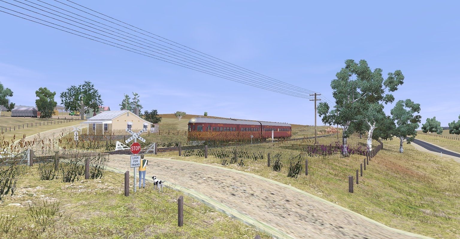
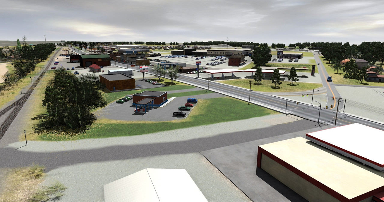
 ], but it's my route of the CSX (ex-B&O) lines in Maryland, USA that includes towns and landmarks such as the Thomas Viaduct, the town of Relay, MD, and the popular St. Denis MARC station in Halethorpe, MD.


 ! --(Although, the culvert turned out much better from a 3D-modeling perspective; I will have to go back and revise the geometry of the bridges later before releasing the route's first phase, .))


") ?
?


Nice work man.Greetings!
This might be a long post, but I have a lot I want to share with the community. These past couple months especially, I was able to make gradual yet significant progress on my prototypical route. (I don't have a formal name for this route yet, [as that depends what areas I actually finish before the first release,
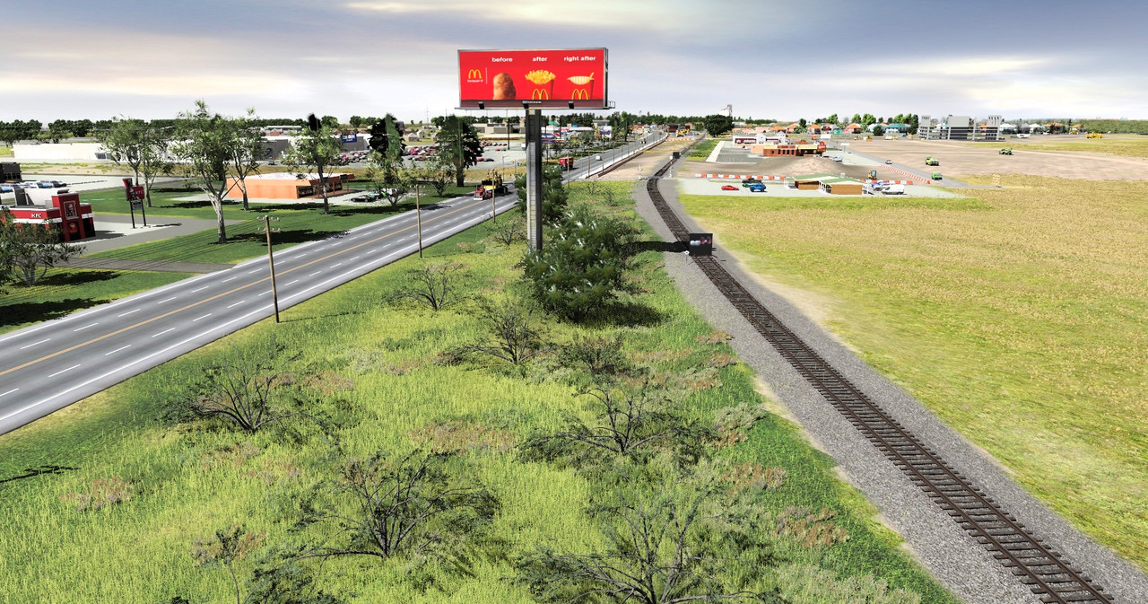
In this post, I mostly focus on the progress I've made in modeling the portion of the CSX Old Main Line (OML) Subdivision that diverges before the Thomas Viaduct and snakes its way through the "Patapsco Valley State Park - Avalon Area" along the Patapsco River. Our first set of screenshots follows a westbound CSX autorack train (specifically recreated as it would appear around the year of 2010).
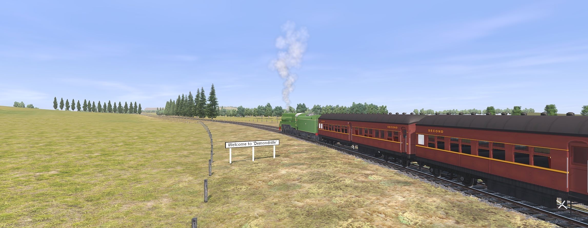
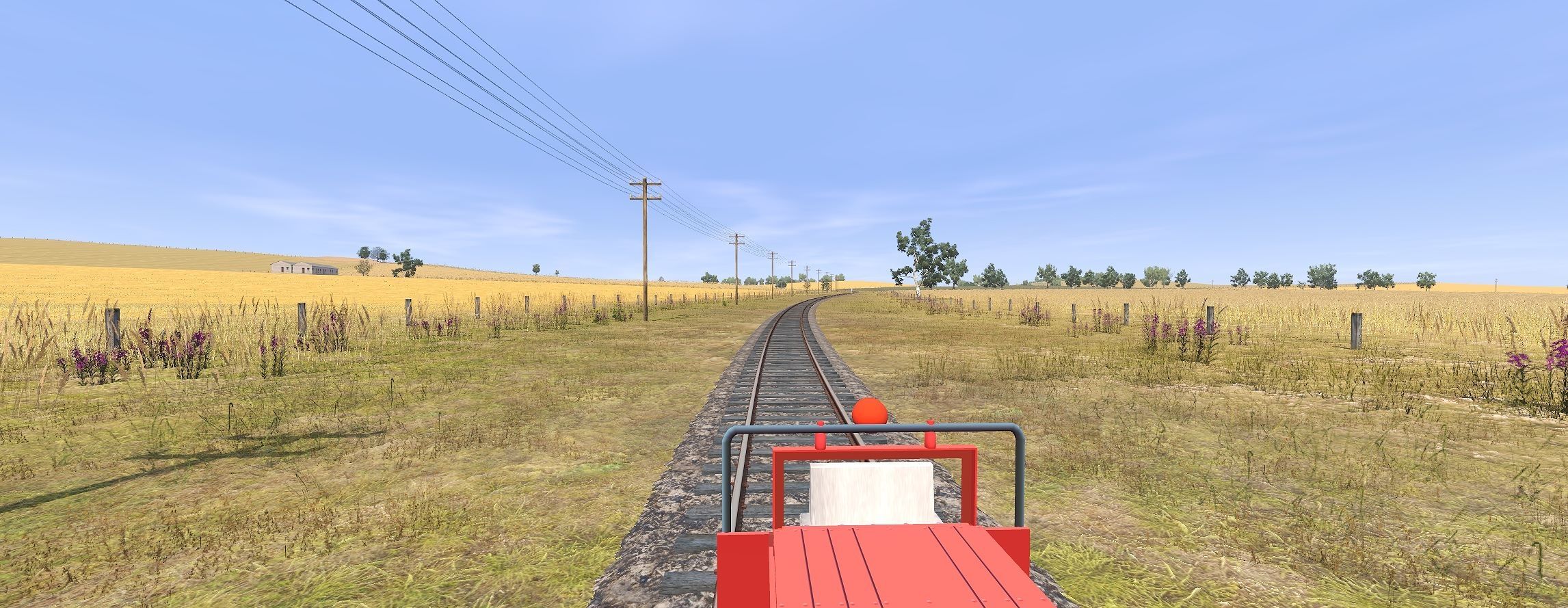
In this first image, we see it throttling up as it leaves Relay, MD:
(Fun fact: This specific vantage point was made to look like the same spot where I've stood to photograph trains at this exact location in real life! I'd be more than happy to share comparison photos later.)
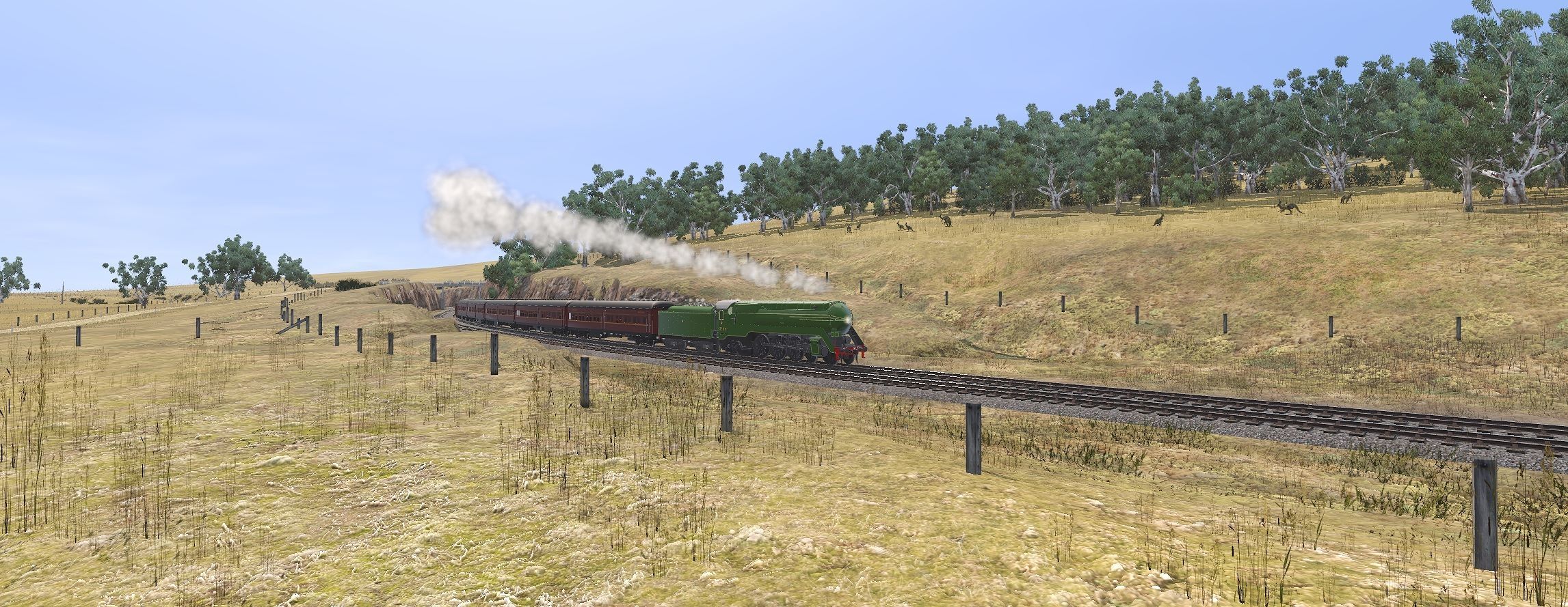
Here, we see the westbound straying away from the Capital Subdivision and the Thomas Viaduct (in the background) to then follow the Patapsco River (below the slope to the right):
Entering the Avalon area of Arbutus, MD shortly after:
This screenshot depicts the view of the OML Sub from the northbound lanes of the Interstate-95 bridges:
(Fun fact: I have to take the right-most lane of this highway bridge everyday that I commute to my college in the area, and this is view I have every time!)
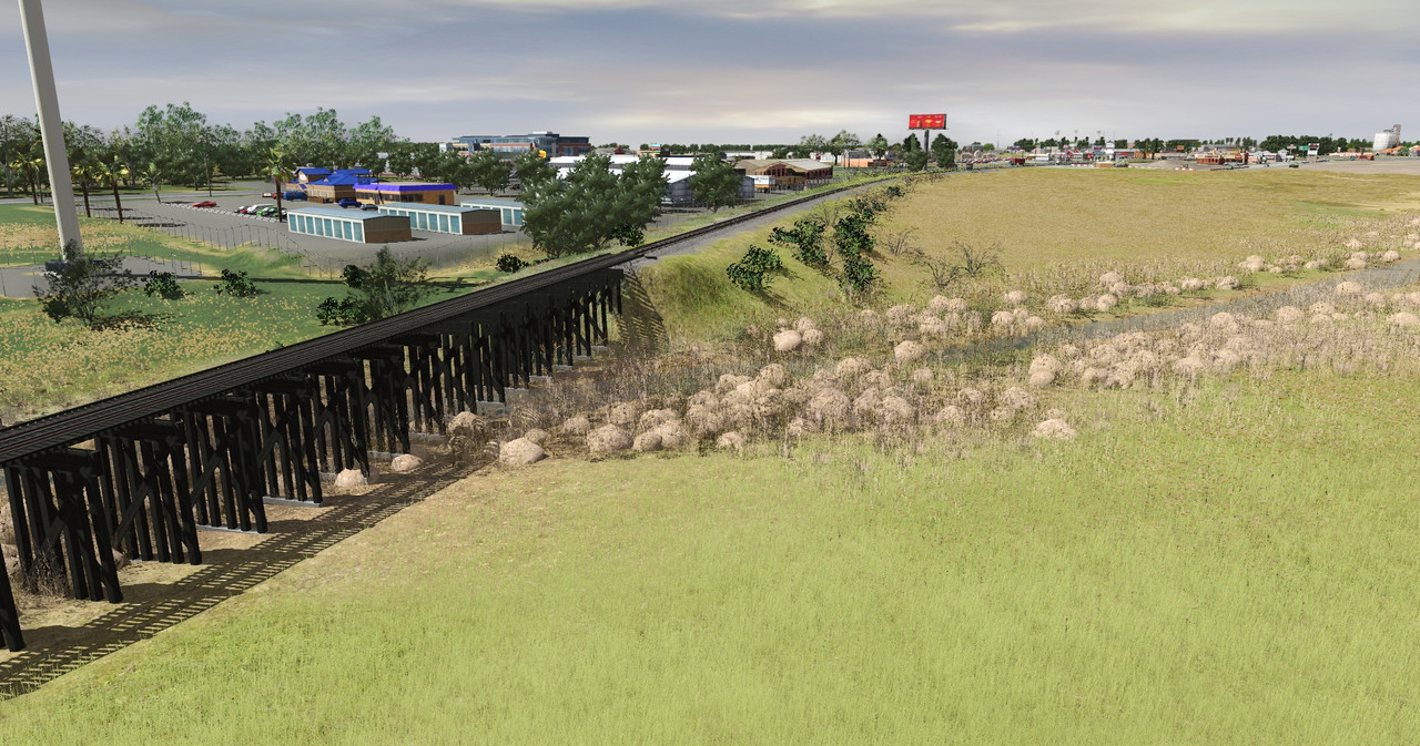
A depiction of the westbound as it passes under the I-95 bridge and over [from what I researched] the first of one of the original box culverts constructed by the Baltimore and Ohio Railroad upon the construction of this right-of-way:
(Another fun fact: There are two assets used in this screenshot that I have 3D-modeled from scratch in Blender! The two I-95 bridge spans together (not including the bridge piers, though), and the B&O (modified) box culvert. All textures on the culvert and [at least] most textures on the bridge spans were created from photos I took with my mobile phone of similar, local architecture in real life, and I then manipulated them in GIMP to use as textures,
Also, here's the other side of my B&O culvert asset:
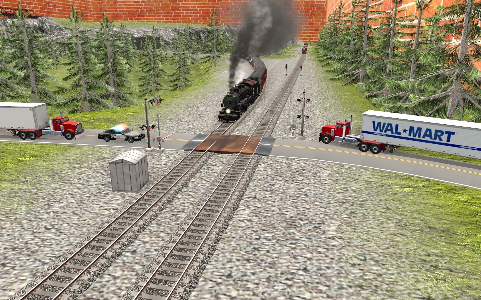
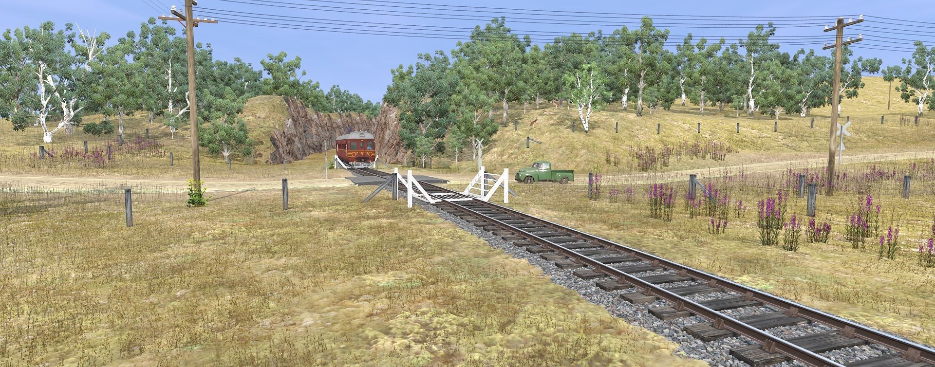
These screenshots here are the route's depiction of the grade crossing at "Gun Road" in the state park:
Looking west, we see the B&O CPL signals in their final years at Control Point "Avalon":
Oh right! Did I mention I'm also making this route seasonal,
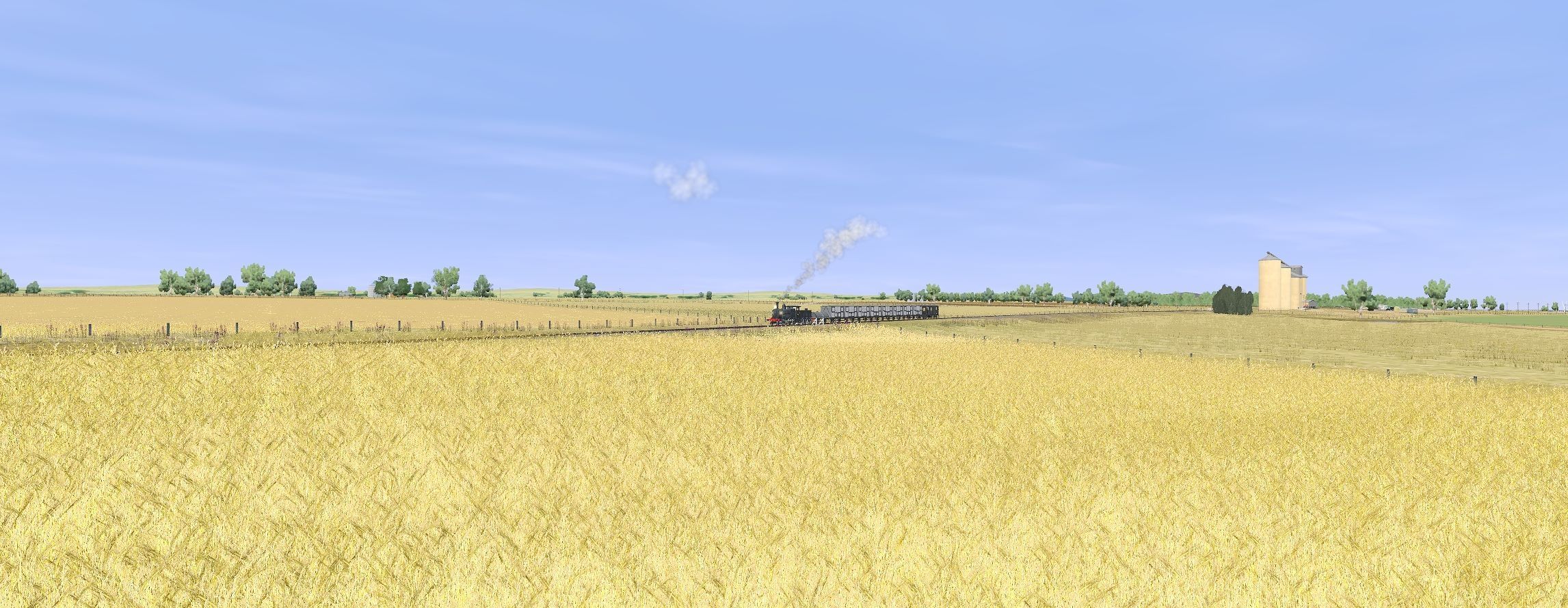
These next screenshots follow a loaded, eastbound CSX coal train on its way to [I believe] Curtis Bay, MD (depicted as it would appear around the year 2009):
Here, it is leaving Avalon Siding:
Passing through the "Gun Rd" grade crossing:
Passing by my two 3D models again, this time in the eastbound direction:
And we're now back in the town of Relay, MD:
Around this time, while the lead engines are in Relay, the EMD helper set is still passing under the I-95 bridges:
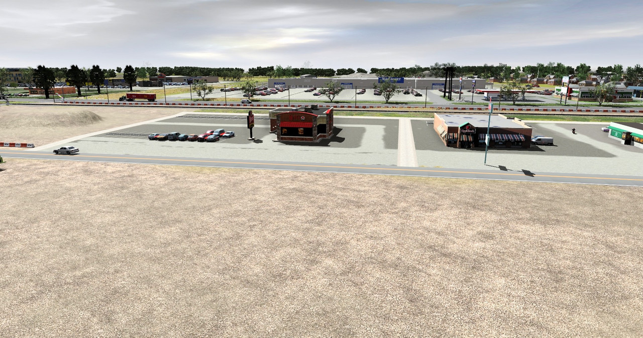
And finally, as a bonus, I've included a screenshot of the eastbound passing through St. Denis MARC station (from previous route progress):
I know this was a long post, so thanks so much for viewing this far!
- Sean D.


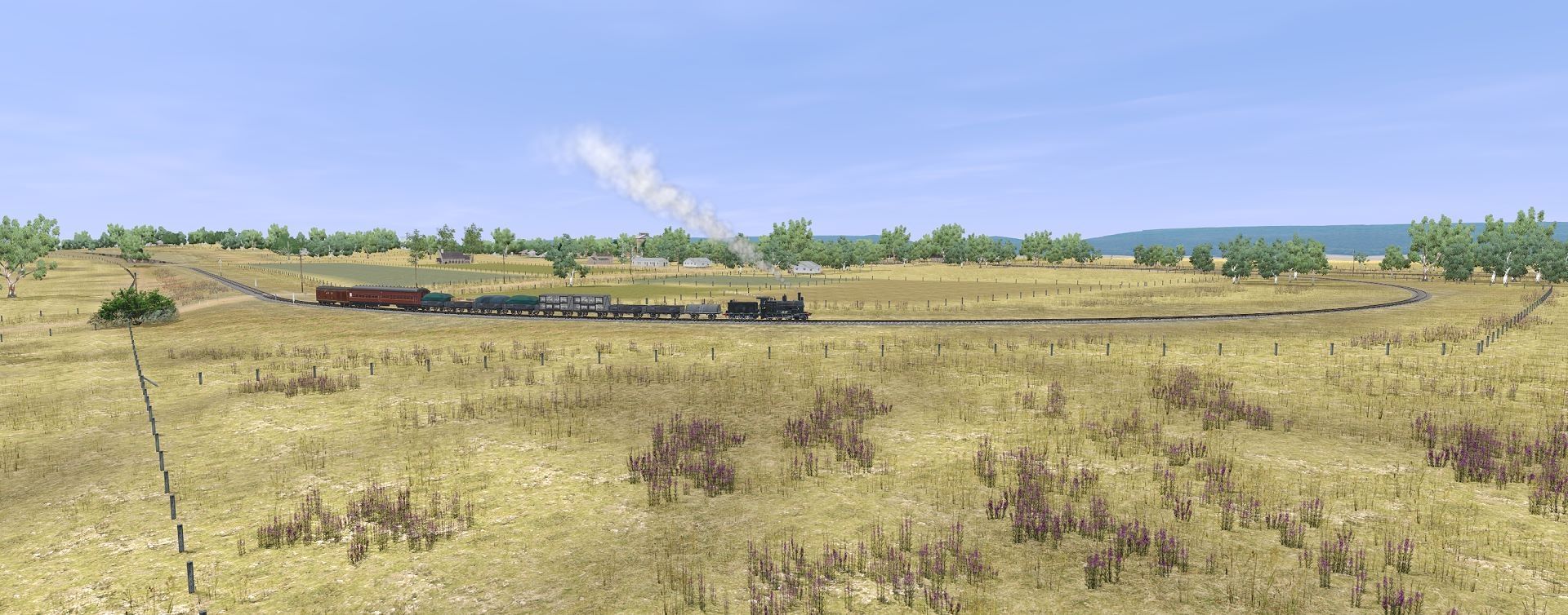
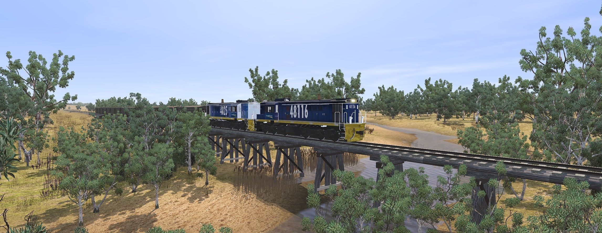
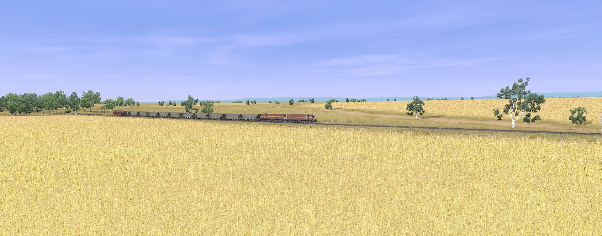
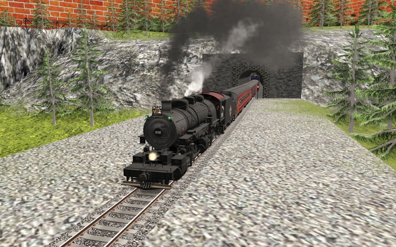
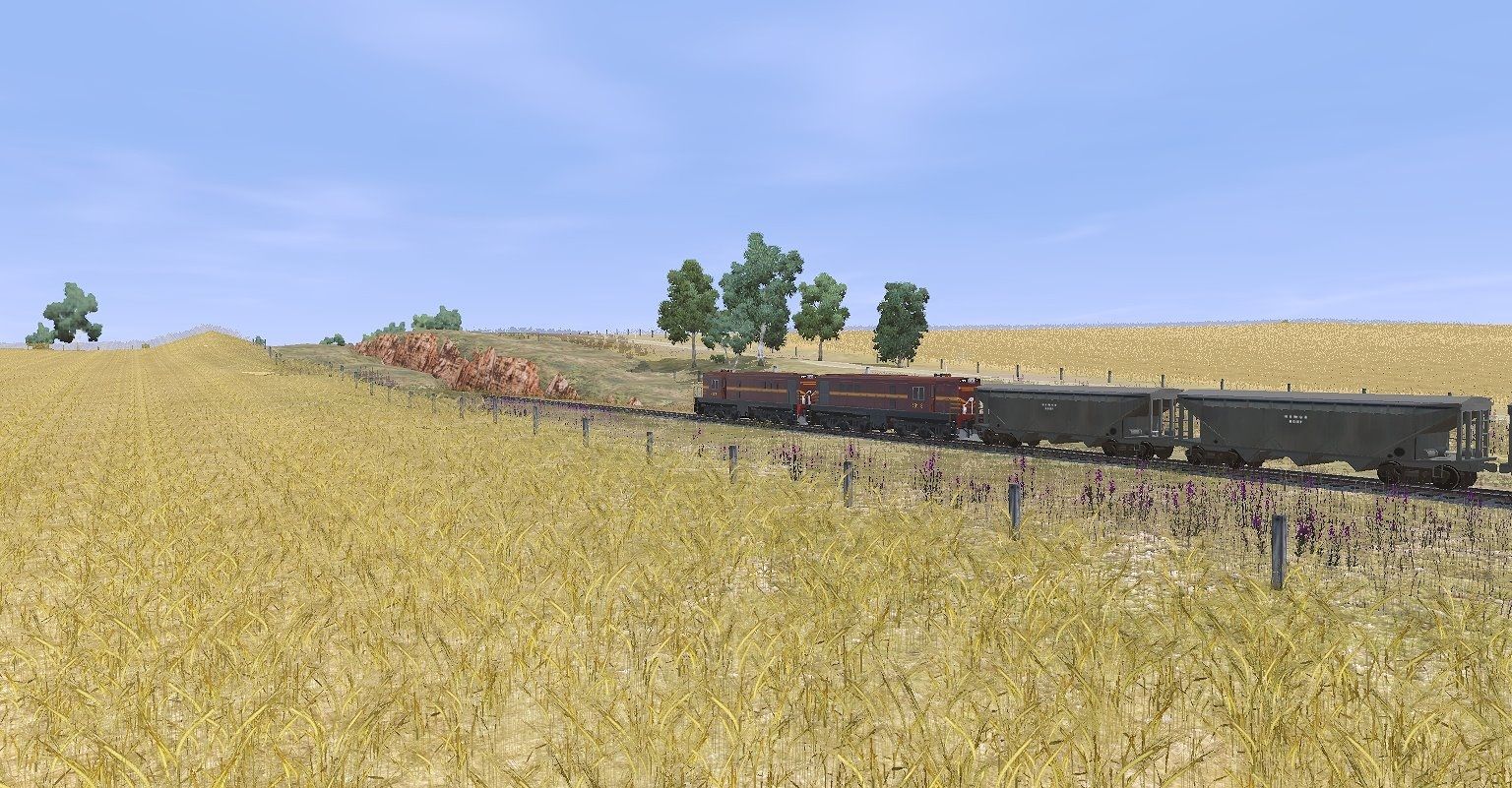
Most excellent skills you have.Irontown Subdivision update: In my previous post, I showed an abandoned ROW with a tunnel and bridge, and made mention of a newer alignment with a much larger bridge, and longer tunnel. Here is that bridge. Built sometime in the early 1900s, this new alignment was short, but took the rails out of the most rugged section of Alder Canyon (see my previous post for more context here). Here we see an empty CP grain train traversing the bridge, having reached level track just beforehand. This is the top of a roughly 10 mile stretch of 2% gradient to get the railway up and out of the valley. Traces of the old line are visible in the background of these shots.
Next, some additional snowshed overgrowth work at Alder Canyon
Lastly, a little farther up the line at milepost 17.5