Hi All,
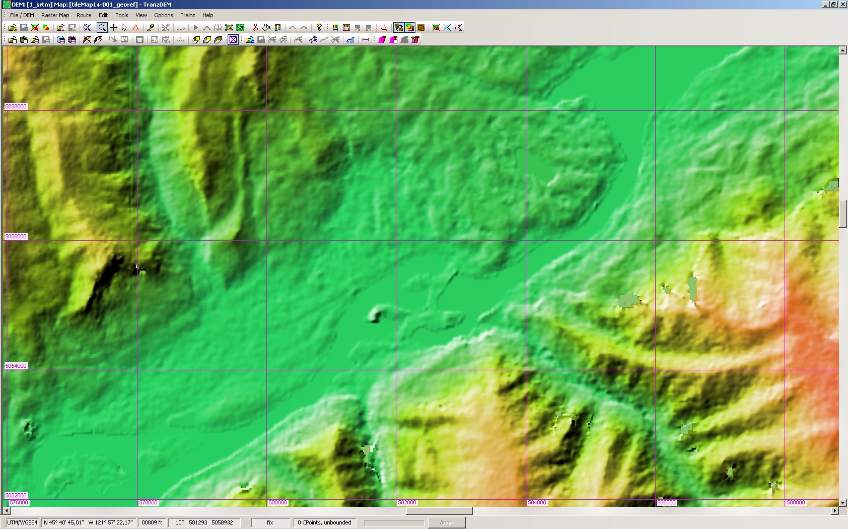
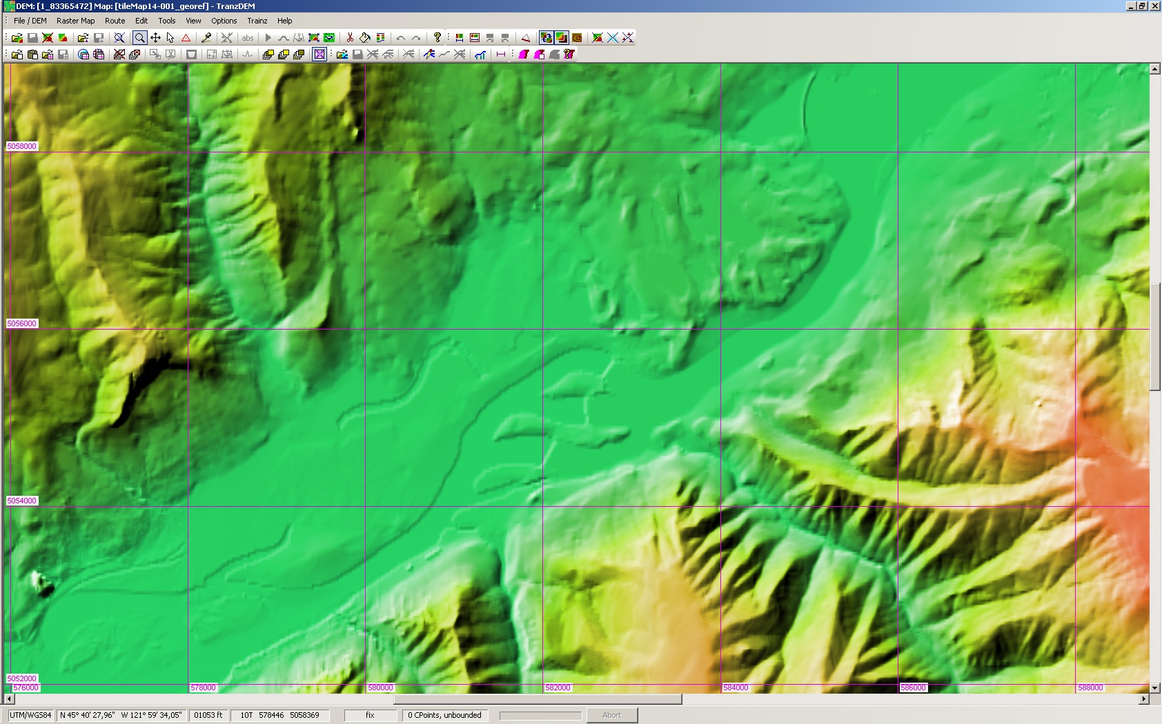
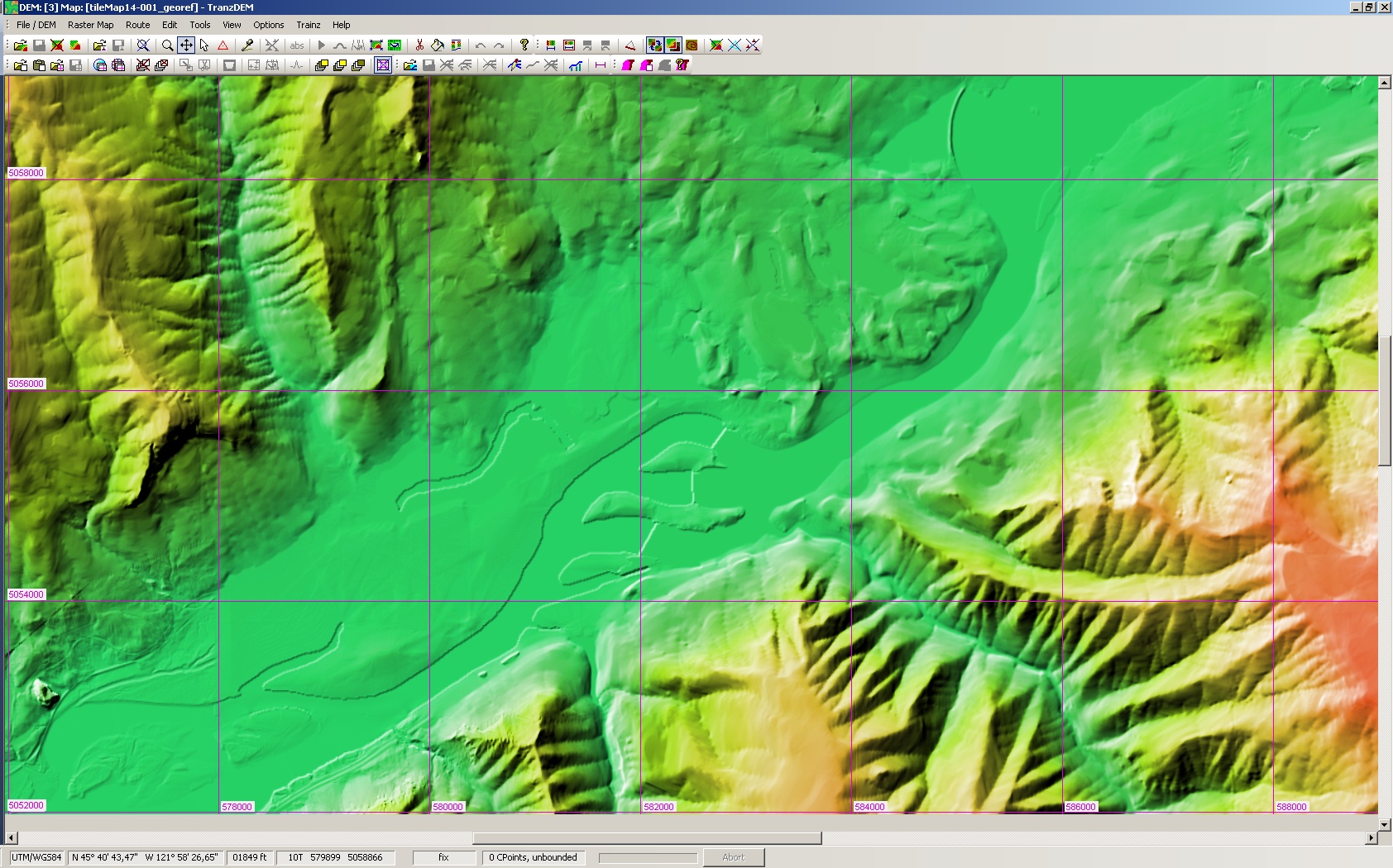
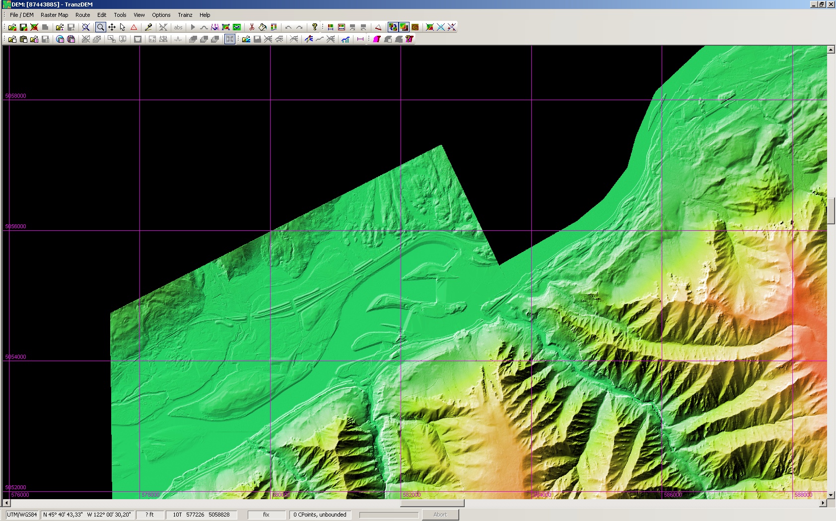
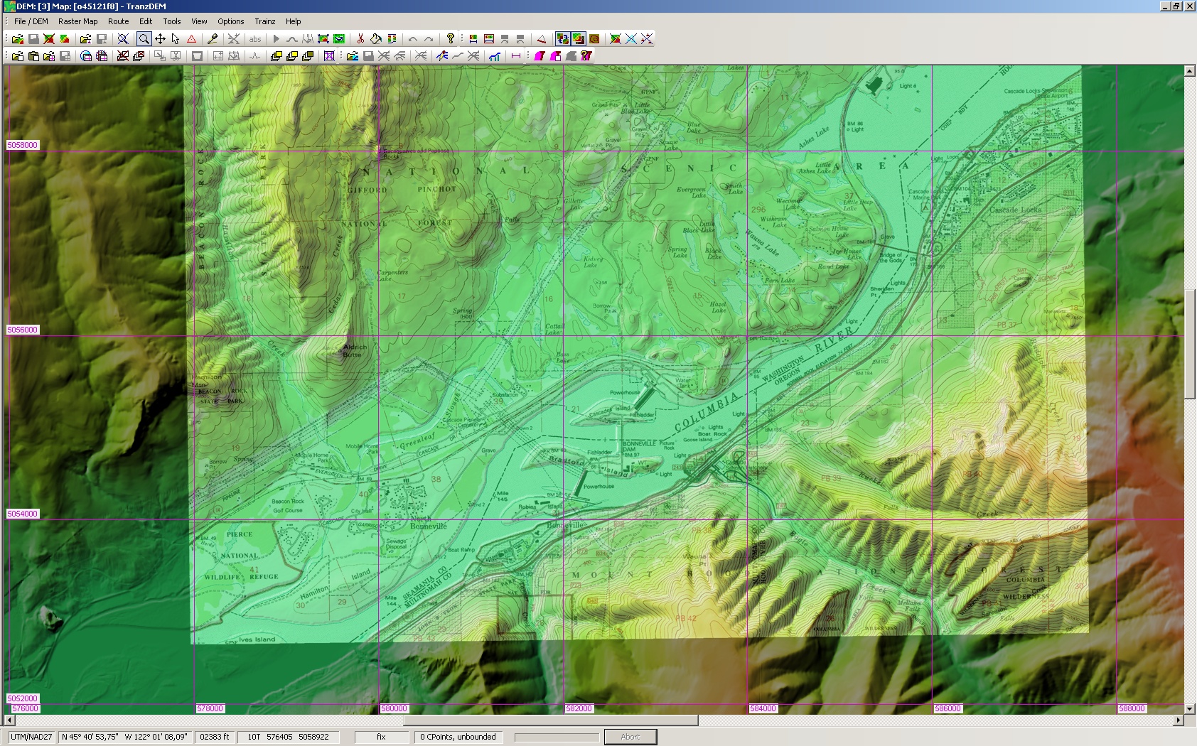
My route uses DEM terrain generated with TransDEM and data from the USGS Seamless Server. I have a few major rivers, and have noticed that they are very flat and shallow. After a bit of thought it occurred to me that the DEM data might be reflecting the height of the surface of the water, instead of the river bed, and that is why I'm seeing this effect. This would actually kind of make sense if I also assume my USGS data is actually SRTM data, since radar would probably not penetrate water surfaces.
I'm wondering if some of the more experienced folk here might have run into this before and be able to confirm my suspicions. If this is indeed the case, then of course the obvious thing to do is push down the river bed, i.e. with a road spline and the smooth spline tool, and then put my water at the original height given by the DEM data.
Thanks in advance.
Regards,
-Mike