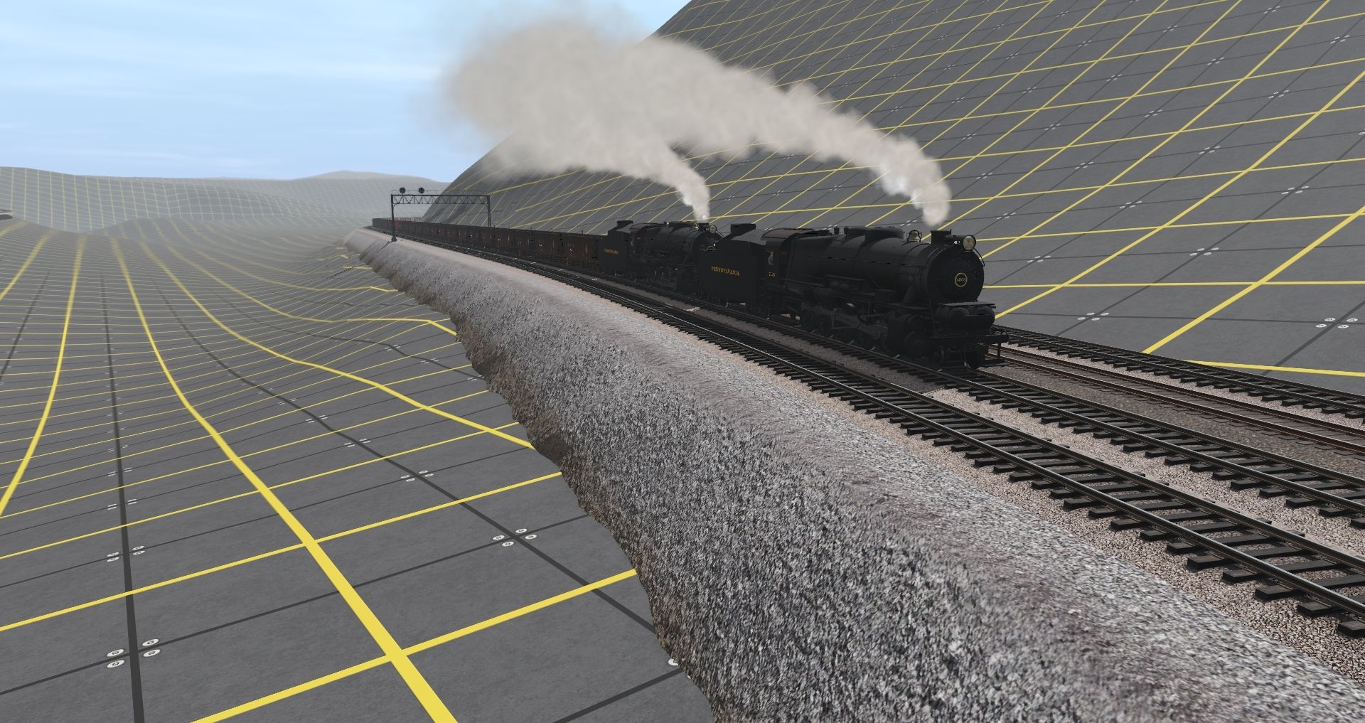
What asset did you use for the track fill?
Install the app
How to install the app on iOS
Follow along with the video below to see how to install our site as a web app on your home screen.
Note: This feature may not be available in some browsers.
You are using an out of date browser. It may not display this or other websites correctly.
You should upgrade or use an alternative browser.
You should upgrade or use an alternative browser.
PRR Screenshots
- Thread starter cascaderailroad
- Start date
Railwoodman
Well-known member
At this time these
<kuid:19691:100926> Tb embankment GG_2_GG 1/1 5m 1t
<kuid:19691:100927> Tb embankment GG_2_GG 1/1.5 0-5m 1t
<kuid:19691:100891> Tb embankment GG_2_GS 1/1 0-5m 1t
Matt
<kuid:19691:100926> Tb embankment GG_2_GG 1/1 5m 1t
<kuid:19691:100927> Tb embankment GG_2_GG 1/1.5 0-5m 1t
<kuid:19691:100891> Tb embankment GG_2_GS 1/1 0-5m 1t
Matt
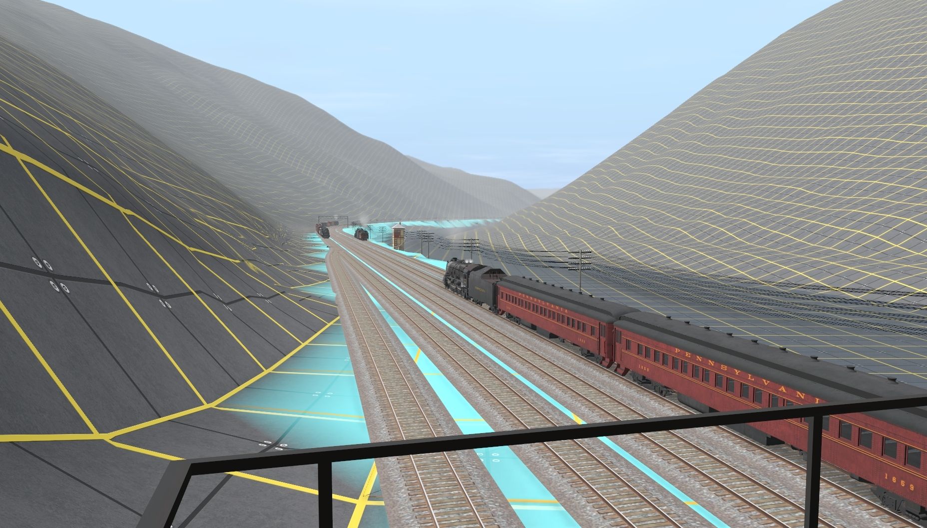
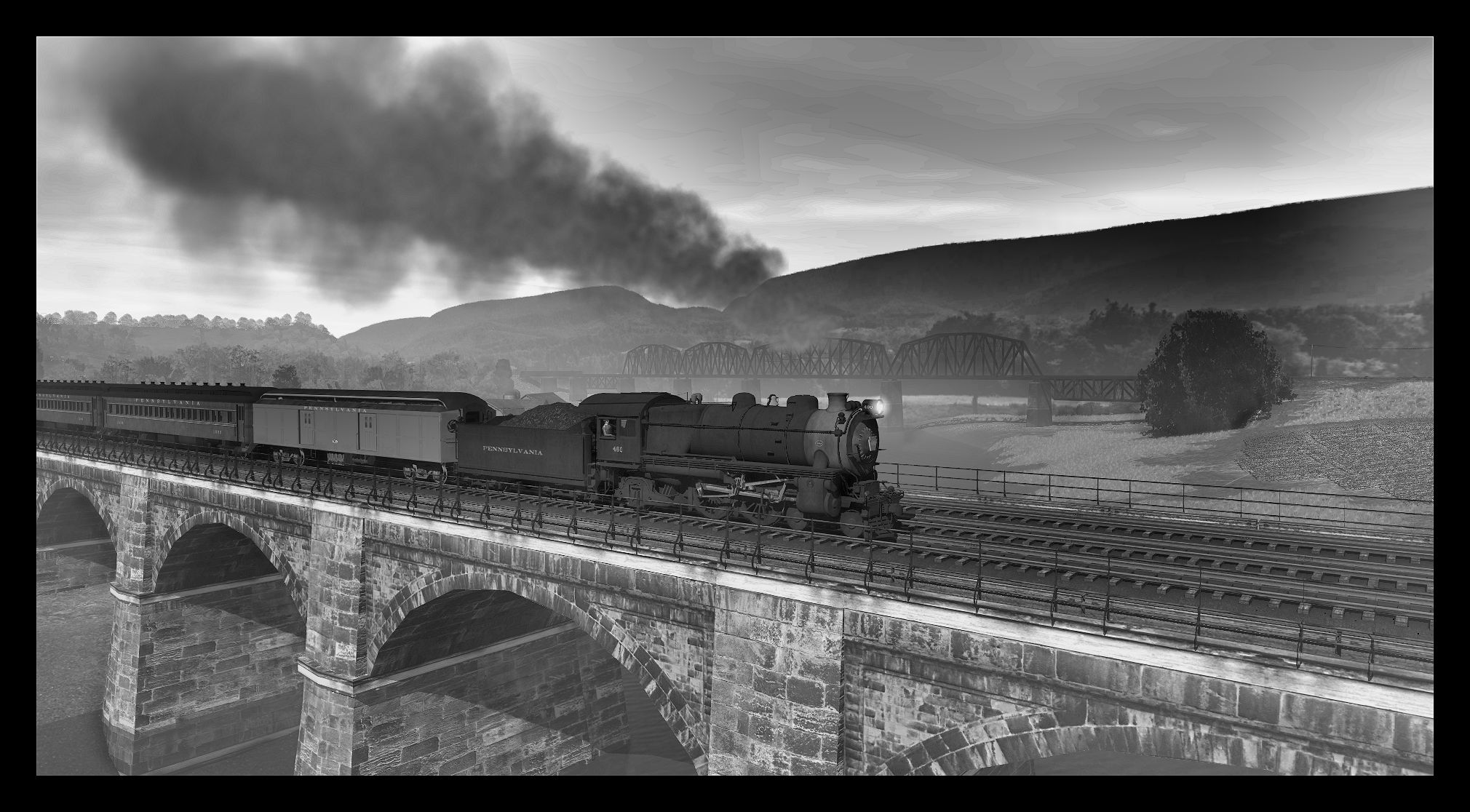
A shot of Jacks Narrows where the Juniata River cuts thru Jacks Mountain and the PRR main clings to the south side of the cut. Some other shots of the EBT and PRR tracks in Mt Union, PA area. Just a test route for the new version of the EBT I'm doing in TANE. So some of this is experimentation will get tossed at some point but a lot will make it into the new version. I drew the interlocking tracks at Jacks tower in the cad program last Saturday and hopefully they'll will get merged in shortly. The lead into the old PPR yard in Mt Union is still being re-worked.
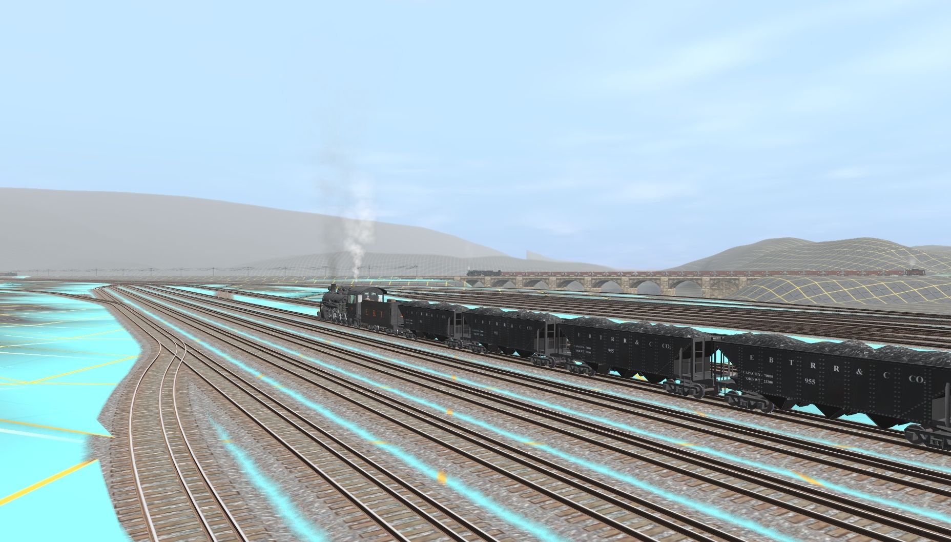
The last pic shows the lead into the PRR Tie/Creosote Plant where it crosses under the PRR main. It had a dual gauge 2'ng/std yard and the only 2'gauge steam loco owned by the PRR.
Bob Pearson
The last pic shows the lead into the PRR Tie/Creosote Plant where it crosses under the PRR main. It had a dual gauge 2'ng/std yard and the only 2'gauge steam loco owned by the PRR.
Bob Pearson
Last edited:
https://www.trainzportal.com/mytrainz/view_media_post?media_post_id=195118
It is uploaded to the DLS <kuid2:318195:2033400:1>
Facebook: PRR Branch Line Trainz
Last edited:
Heinrich505
Well-known member
RPearson,
I just took a look at Google Earth for the Jack's Narrows area. It looks like you are pretty much spot on for recreating that area. Nice work!
Heinrich505
I just took a look at Google Earth for the Jack's Narrows area. It looks like you are pretty much spot on for recreating that area. Nice work!
Heinrich505
Heinrich505
Well-known member
Railwoodman,
I love the shots of your work on the Monster! It's always great seeing the 4 track mainline.
Heinrich505
I love the shots of your work on the Monster! It's always great seeing the 4 track mainline.
Heinrich505
Heinrich, It's all in the DEM. Don't I wish. But thanks, I'm pretty happy with how the PRR trackage is working out. I picked the tangent sections off google earth - NS still has 2 tracks thru this area but found it too difficult to get the curves in right doing it that way. I ended up using the curve and grade data from one of the PRR track charts so the curves and grades fit in fairly well with not too much manual terraforming. They had station number and elevations for all the grade changes but only deg of curvature for the curves - no stations of end points.RPearson,
I just took a look at Google Earth for the Jack's Narrows area. It looks like you are pretty much spot on for recreating that area. Nice work!
Heinrich505
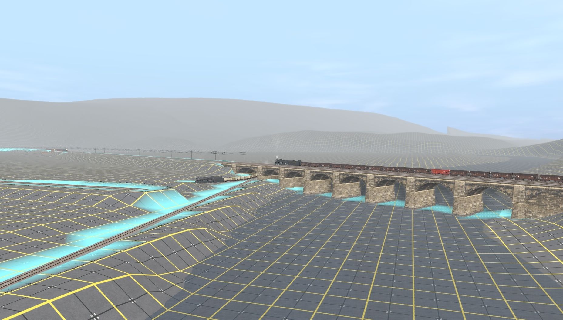
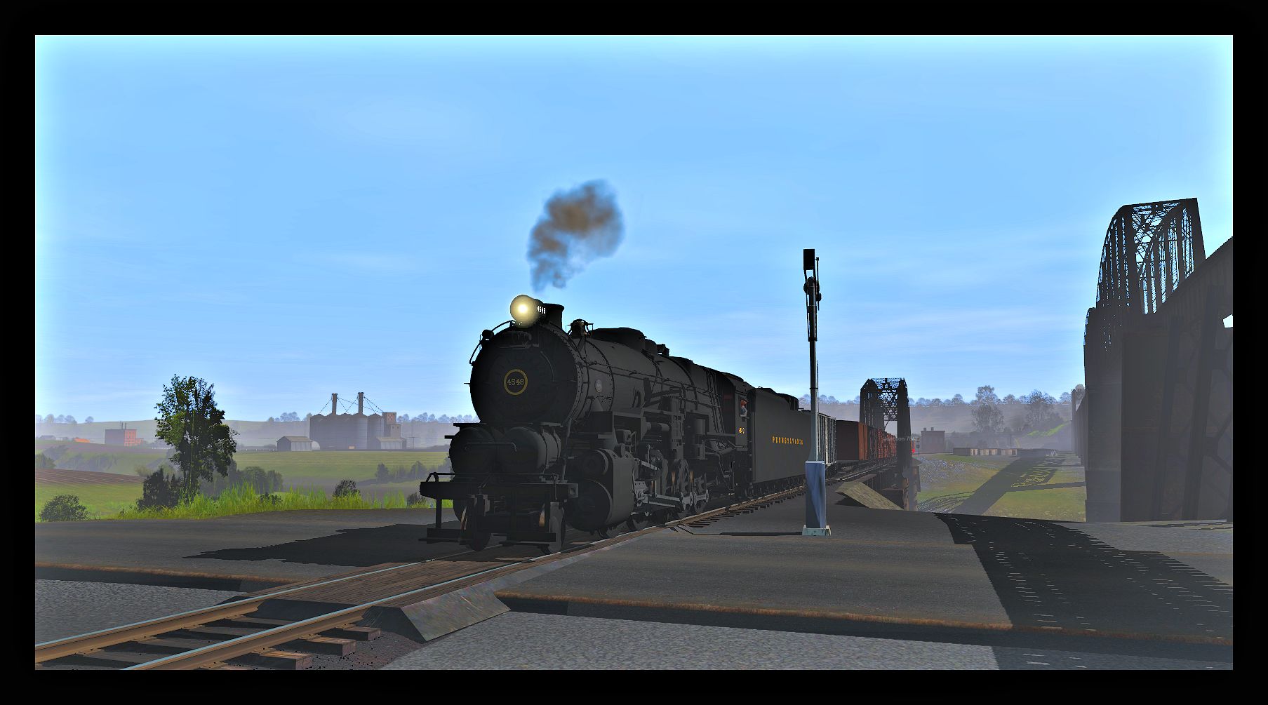
Add a few telegraph poles and it starts to look like a railroad. The bridge going into Mt Union was a pain getting it to work with the lead to the PRR creosote plant. The arch spans are too small to match the real bridge - the actual has only 6 so they are longer. But using a separated spline for that end allowed me to stretch to about twice the mesh length before it snaps back to the actual mesh length when the 2nd arch appears. I kept the track running thru on a diagonal as I had it in previous versions (following the prototype) and it just fits thru the stretched arch.
So the bridge is not right but close enough for now.
Bob Pearson
kcwright_rm
Cumberland & Eastern RRTC
ha, i think we all wish we had transDEM
Trainmaster189
Well-known member
Same here even though I don't have the patience to do tons of research on any real world route whether it's historical or modern. I wish I could either do my own version of the Pittsburgh Line (modern or 80s) or other routes I have in mind such as Koln/Cologne to Aachen or Frankfurt to Cologne NBS which both are in Germany, but maybe someone else would do it far better than me. I can only do fictional routes better than real ones regardless of geographical location. I apologize for going slightly off-topic here, but I just wanted to put my thoughts here on TransDEM.
Heinrich505
Well-known member
Heinrich505
Well-known member
Railwoodman
Well-known member
Not fair ..............Nice shots . But so not fair .:hehe:
My net's been down . Sucks not being able to check out the forums .
This route just keeps getting better and better the more I run it . Highly recommend... NS Sandusky District
More of the Moster
Matt
PS prr325 ....Thank you sir . Your additions to DLS will be put to good use .
My net's been down . Sucks not being able to check out the forums .
This route just keeps getting better and better the more I run it . Highly recommend... NS Sandusky District
More of the Moster
Matt
PS prr325 ....Thank you sir . Your additions to DLS will be put to good use .
Last edited:
Heinrich505
Well-known member
Railwoodman,
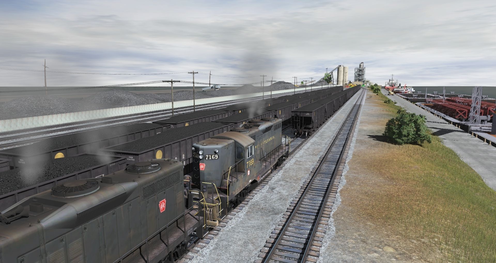
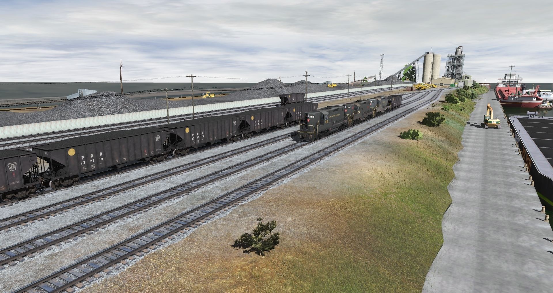
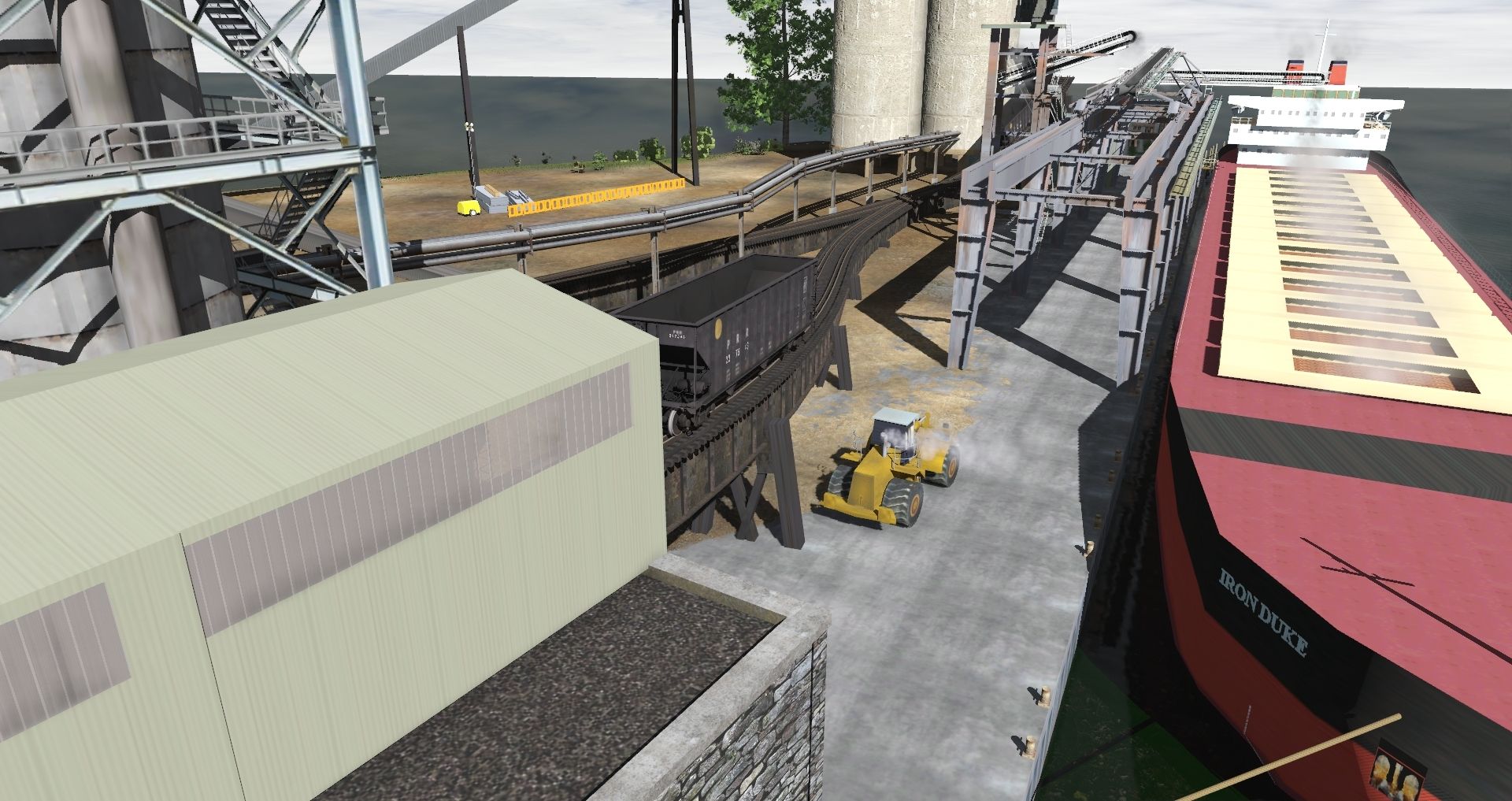
I really enjoy the Sandusky route as well. Those are nice shots of the PRR Geeps working the coal dock. It really is a fine route.
Love the monster shots!
Heinrich505
I really enjoy the Sandusky route as well. Those are nice shots of the PRR Geeps working the coal dock. It really is a fine route.
Love the monster shots!
Heinrich505
PereMarquette1225fan
Active member
@Railwoodman,
Nice action scenes of action at the Sandusky Coal Dock on the Toledo Division. I can imagine those ERS-17's mingling with a J-1 or J-1a having brought coal up from Columbus on the Columbus Division, and the Cincinnati Division.
Nice action scenes of action at the Sandusky Coal Dock on the Toledo Division. I can imagine those ERS-17's mingling with a J-1 or J-1a having brought coal up from Columbus on the Columbus Division, and the Cincinnati Division.
Last edited:
Railwoodman (Matt),
Thanks for your feedback in post #2032. Tower signs for the Philadelphia-Harrisburg Main Line are almost done. Then it's on to the Middle Division. I'm also studying the possibilities for bay-window towers...
I always enjoy seeing your screenshots! Keep up the good work!
Jim
Thanks for your feedback in post #2032. Tower signs for the Philadelphia-Harrisburg Main Line are almost done. Then it's on to the Middle Division. I'm also studying the possibilities for bay-window towers...
I always enjoy seeing your screenshots! Keep up the good work!
Jim
Railwoodman
Well-known member
Jim ... Thanks . But I have to say you work is making things pop on the Monster . So Thank you
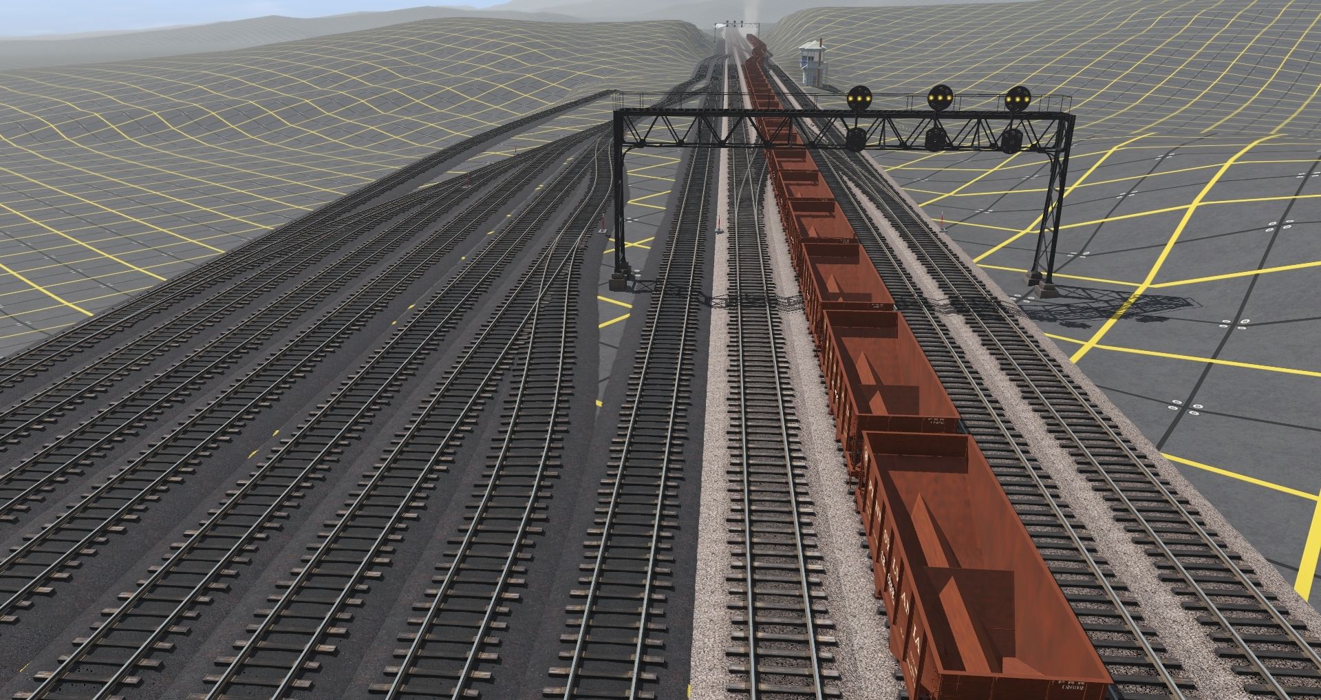
More of Altoona . not even gona try and fill these up yet:hehe:
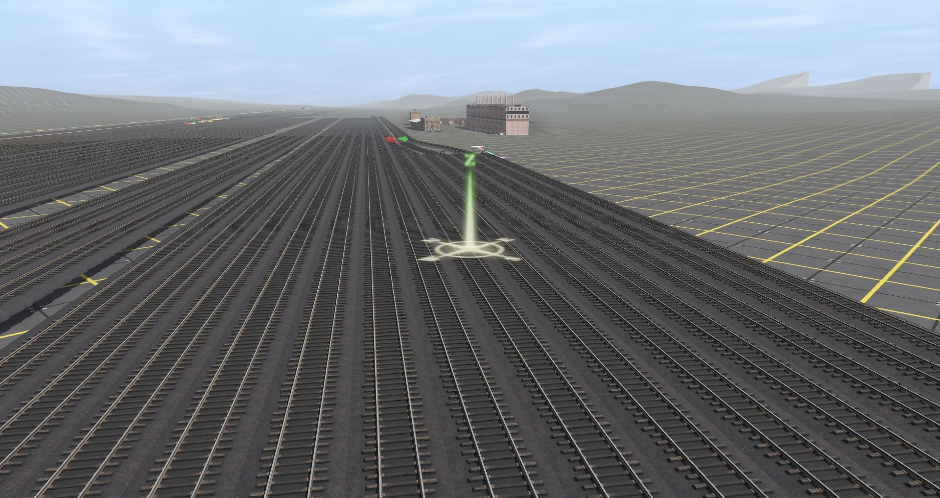
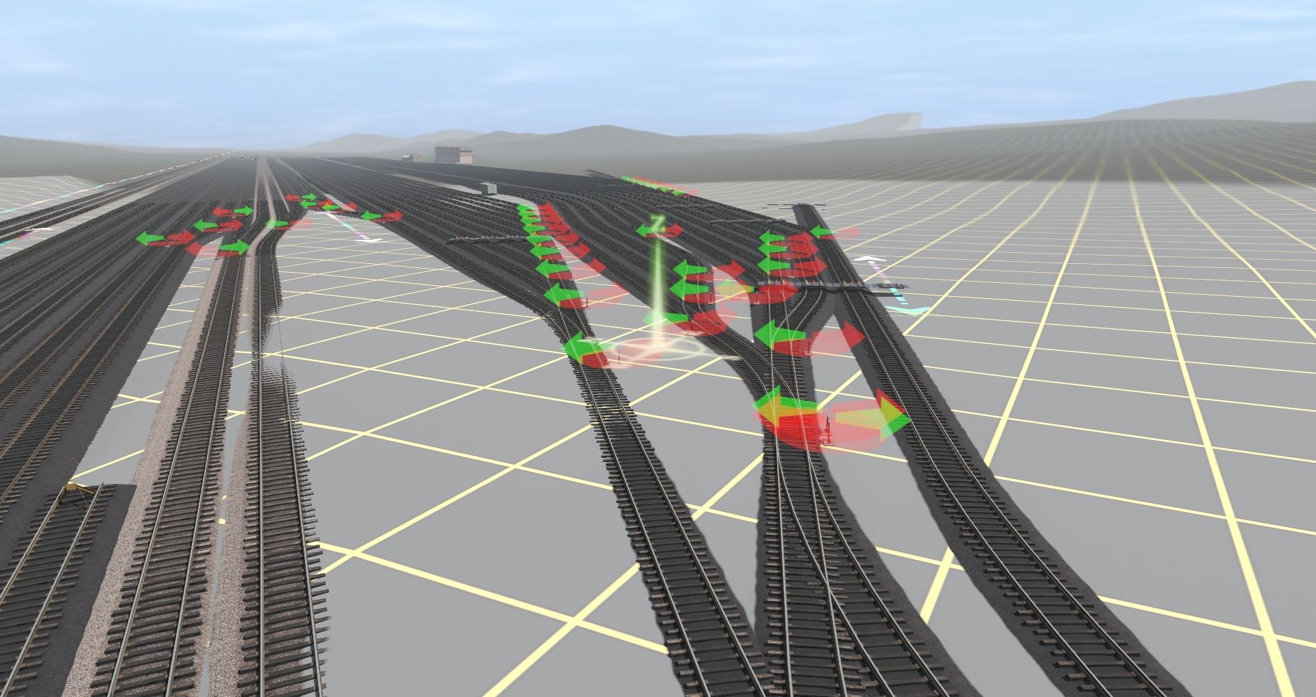
Testing
Matt
More of Altoona . not even gona try and fill these up yet:hehe:
Testing
Matt
Heinrich505
Well-known member
Railwoodman,
Altoona really looks good! Love the progress.
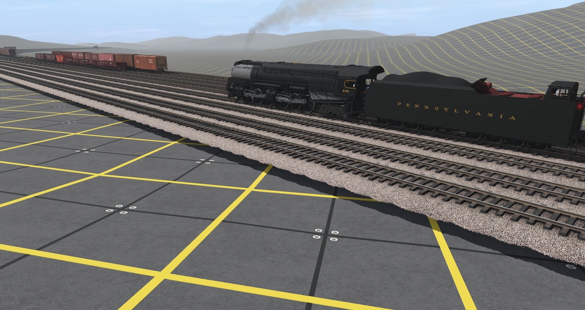
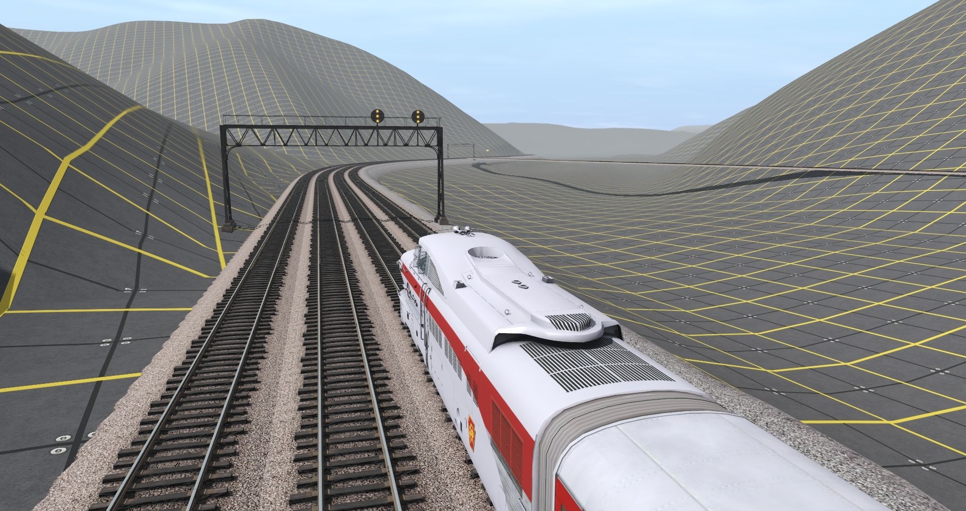
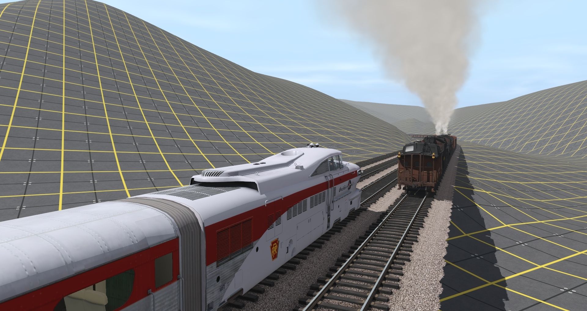
Nice shots of the PRR Aerotrain. It was only around for less than a year, so those are rare shots indeed.
Heinrich505
Altoona really looks good! Love the progress.
Nice shots of the PRR Aerotrain. It was only around for less than a year, so those are rare shots indeed.
Heinrich505
Railwoodman --
Is that a PRR Q2 Where did it come from?
Phil
Edit:
OK -- managed to find it. Here:
https://www.greencoaststudios.org/pennsylvania-railroad.html
Is that a PRR Q2 Where did it come from?
Phil
Edit:
OK -- managed to find it. Here:
https://www.greencoaststudios.org/pennsylvania-railroad.html
Railwoodman
Well-known member
Phil .... I'm glad you found it . Love mine . Just got the C1 . Hog of the yards . This brute has been a want for a long time
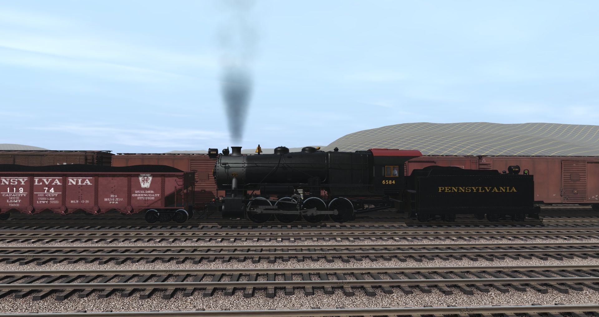
Working the small yard at Tyrone ...:mop:
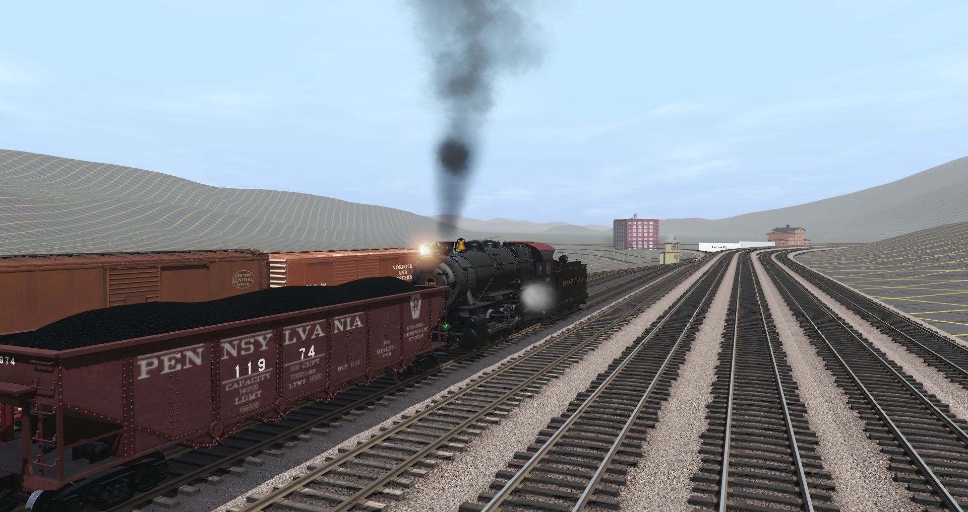
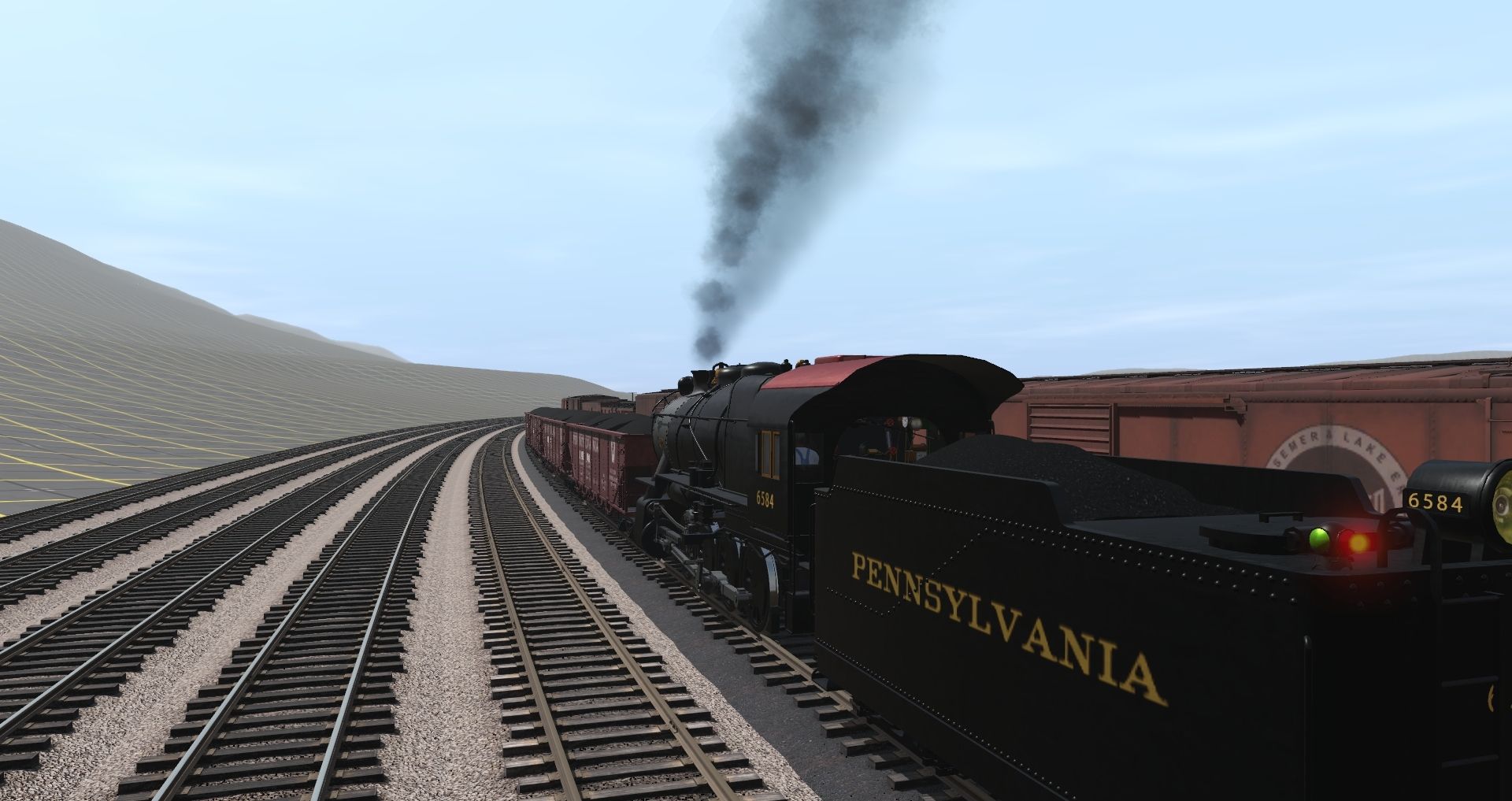
Matt
This brute has been a want for a long time
Working the small yard at Tyrone ...:mop:
Matt

Similar threads
- Replies
- 23
- Views
- 2K
- Replies
- 18
- Views
- 1K
- Replies
- 1
- Views
- 466