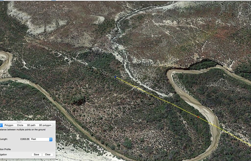
Its taken a while, but finally theres something to look at on this route, firstly had huge problems with the original transdem map , after bob pearson fixed it for me, i discovered the first part from mack to mp 8 was about 10 metres differential in height compared to the route in the flesh.I worked on fixing that for about three weeks , then had a terminal issue with heights not working .I was fearful of working with this map, even if it could have been salvaged, so I decided I had to give it all way and remake the map from scratch.
After many attempts to get a decent topo map, finally Transdem clicked for me and I now have route that ( so far ) seems to work ok in TANE.
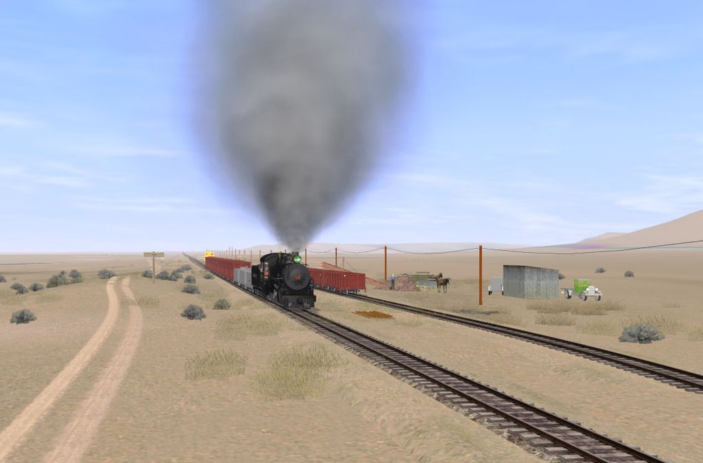
The inimitable Ben Dorsey has been working solidly on models for the route and he's been putting up with a lack off info re size etc and i've been looking through books and trawling the net for more info.
Unfortunately in some cases , it just isn't there, so we are making inspired guesses occasionally , in others where we have a few photos, we've been measuring old images and making allowances for perspective etc.
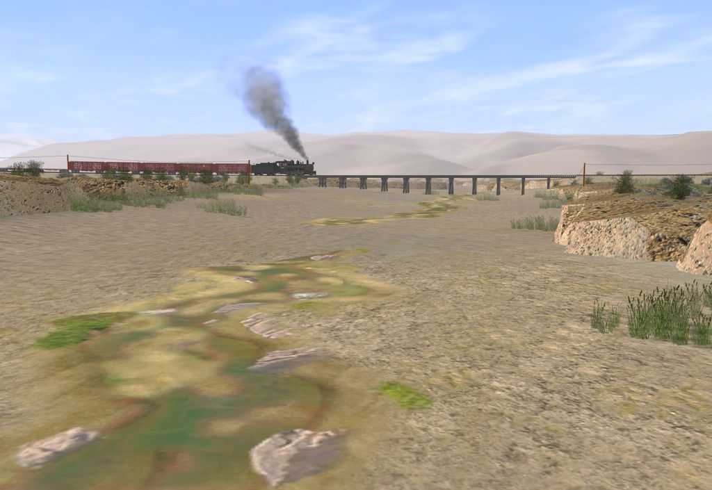
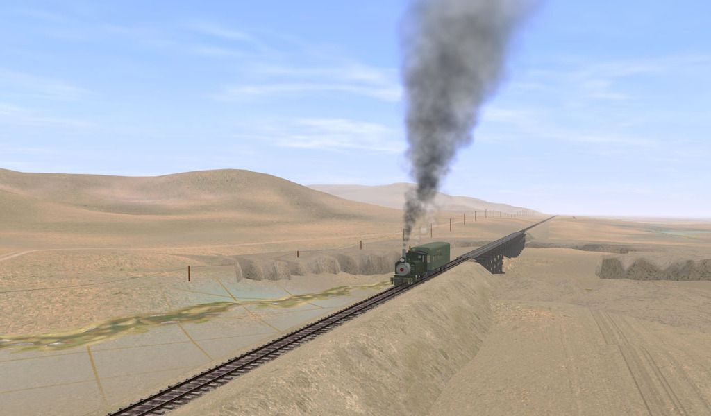
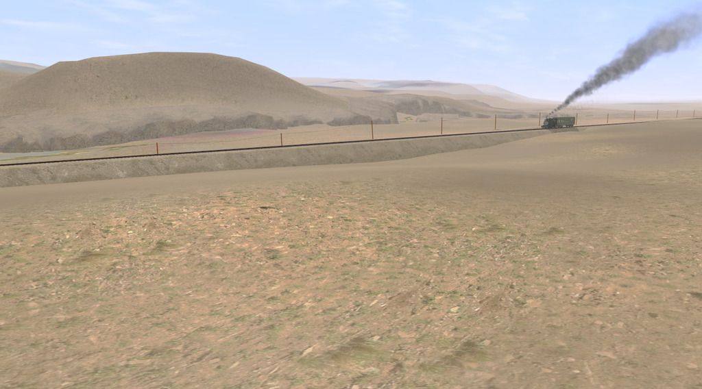
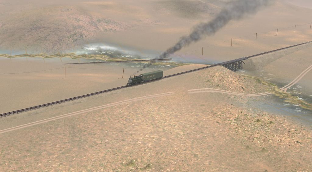
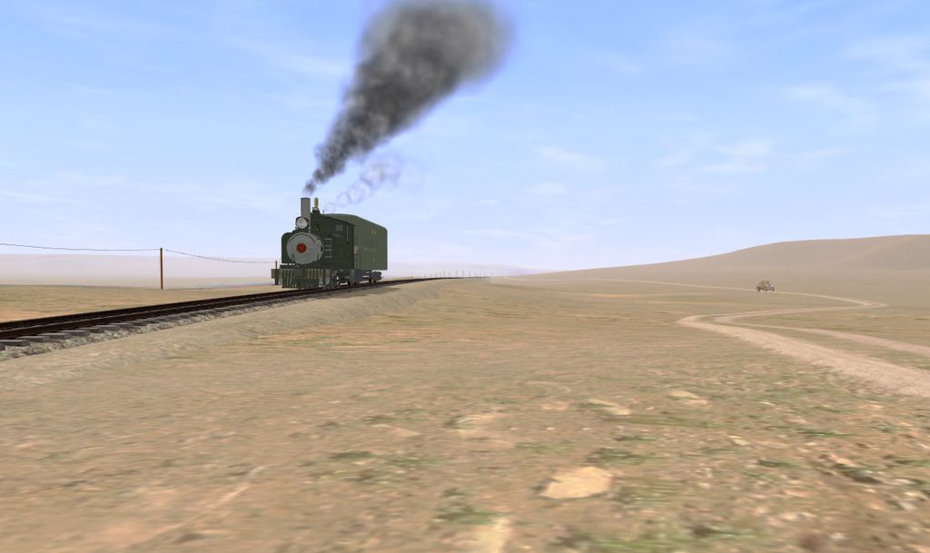
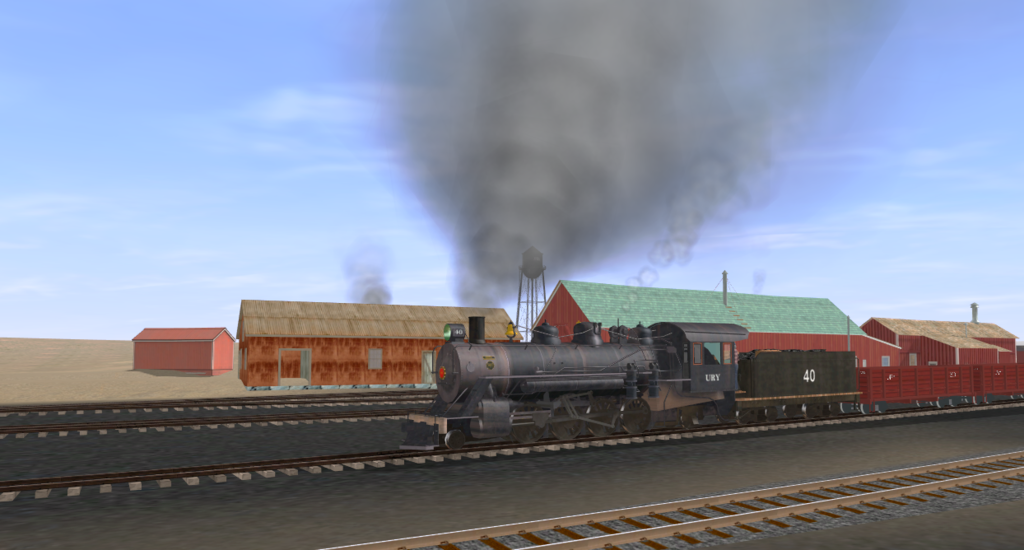
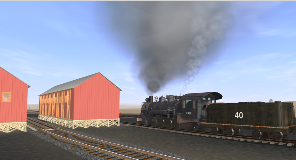
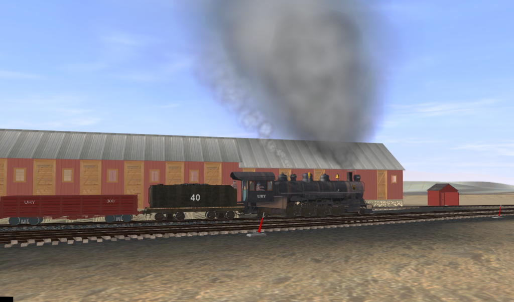
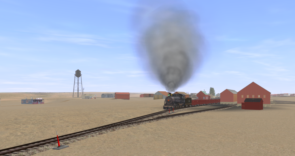
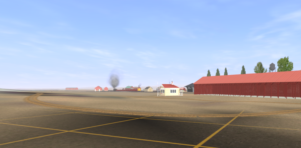
So heres a screenshot of the only part of the route that can be said to be "presentable ".Its not complete, but its what I'd like the whole route to be like before I release my version to DLS .
I'm slightly burnt out with laying track and referring to books and google earth to try and get everything as accurate as possible, so bunging in some grass and textures for bridge 1a 2 miles out of Mack is a welcome relief.
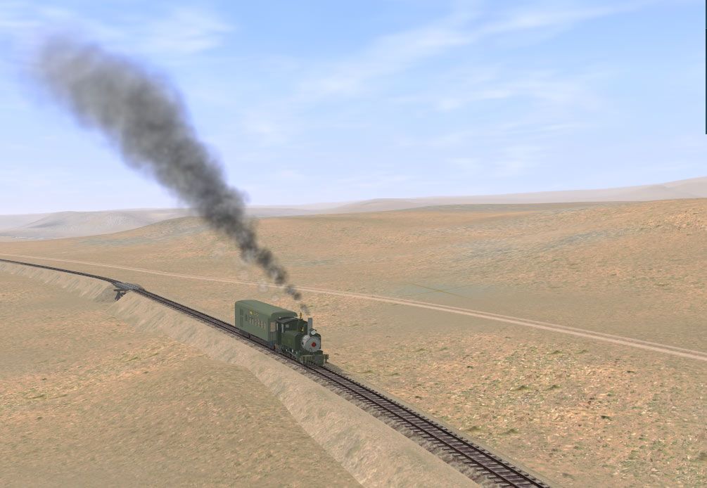
Ben's made some great models of Mack township but I haven't got near to completing it yet, still need to work out the DRGW measurements where they interface with the Uintah, but when I have , I'll drop some more images in this thread.
if anyone else is working on this and has buildings made ( or dimensions/drawings etc of buildings ) , please share them and i'll reciprocate with textures and splines i've made for the route.
After many attempts to get a decent topo map, finally Transdem clicked for me and I now have route that ( so far ) seems to work ok in TANE.
The inimitable Ben Dorsey has been working solidly on models for the route and he's been putting up with a lack off info re size etc and i've been looking through books and trawling the net for more info.
Unfortunately in some cases , it just isn't there, so we are making inspired guesses occasionally , in others where we have a few photos, we've been measuring old images and making allowances for perspective etc.
So heres a screenshot of the only part of the route that can be said to be "presentable ".Its not complete, but its what I'd like the whole route to be like before I release my version to DLS .
I'm slightly burnt out with laying track and referring to books and google earth to try and get everything as accurate as possible, so bunging in some grass and textures for bridge 1a 2 miles out of Mack is a welcome relief.
Ben's made some great models of Mack township but I haven't got near to completing it yet, still need to work out the DRGW measurements where they interface with the Uintah, but when I have , I'll drop some more images in this thread.
if anyone else is working on this and has buildings made ( or dimensions/drawings etc of buildings ) , please share them and i'll reciprocate with textures and splines i've made for the route.
")


 Prowler did more K-27s and Togog did some K-27s also.
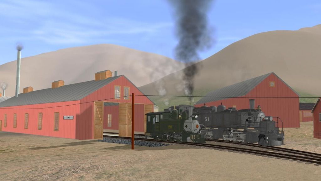
") Congrats on your accomplishments,
Congrats on your accomplishments, 

