For the longest time I was making maps without the benefit of DEM data to provide the elevation contours. Granted, most of my maps are Dutch based so I didn't have too many mountains to worry about.
After diving into the DEM pool, and working on my recent maps I have some observations I would like to share.
Here we see part of the Maasvlakte which is at the western end of the Europort, Rotterdam.
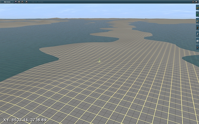
This is the same view with the water raised to highlight some the hills.

Now the Maasvlakte is a pretty flat area so I was wondering what the bumps could be.
Here is a view of the same area after some of the high voltage transmission towers were placed. Note that each one is located where one of the hills was made by the DEM data.

After studying Google Earth images, it would appear that buildings and even high voltage transmission towers leave their impression in the DEM data.
In other nearby areas, major bumps have turned out to be silos, power plants, warehouses, etc.
So the next time you look at the terrain made from DEM data, not all of those hills are really hills.
After diving into the DEM pool, and working on my recent maps I have some observations I would like to share.
Here we see part of the Maasvlakte which is at the western end of the Europort, Rotterdam.
This is the same view with the water raised to highlight some the hills.
Now the Maasvlakte is a pretty flat area so I was wondering what the bumps could be.
Here is a view of the same area after some of the high voltage transmission towers were placed. Note that each one is located where one of the hills was made by the DEM data.
After studying Google Earth images, it would appear that buildings and even high voltage transmission towers leave their impression in the DEM data.
In other nearby areas, major bumps have turned out to be silos, power plants, warehouses, etc.
So the next time you look at the terrain made from DEM data, not all of those hills are really hills.
")