How to make hills?

hholdenaz

Well-known member
Does anybody know how to make hills for trains to run over? I'm asking because, well, (Loud voice) LOOK AT THIS:

trainz2013-01-1115-32-00-52_zpsca87ce3e.png


See, I messed up. Does anybody know how to make proper hills for trains to travel on?
 
I always use the biggest size and the slowest speed on the two dials with the raise ground button. Then you can move the cursor around slowly and get gentle slopes or mounds. Your screen shot shows a small cursor and the raise/lower as being to quick.
 
Manually manipulated terrain hills are hard! Under the Topology flyout / Advanced there are a series of terrain 'templates' you can play around with, or the DLS has lots of 'blank' terrain-only routes you can download which have pre-made hills.

Almost off-topic, but you need to go to Surveyor > main menu > Options > Surveyor Settings and check 'fixed track vertex height' (or similar!). As you have it your track will move with the terrain....
 
Actually, it aint very hard to do it.
:)

Here is my technique:
As was said before, go work with the lowest sensibility first.
If you have a track on a gradient, set it up with the grade first.
Then, you select the biggest working area with the editing tool and one of the lowest sensibilities. I tend to use the 3rd or the 2nd option most of the times.
Rough the mountains in.
While elevating the terrain, move the cursor around like the "mad artist" on the area you´ve selected to be edited.
If you want to lower the terrain, go back one notch and be careful not to overdue it, it seems to be more noticeable if you overdo it.
Then, once you have the hills roughed in, select a smaller area pick and edit glitches.
:)
 
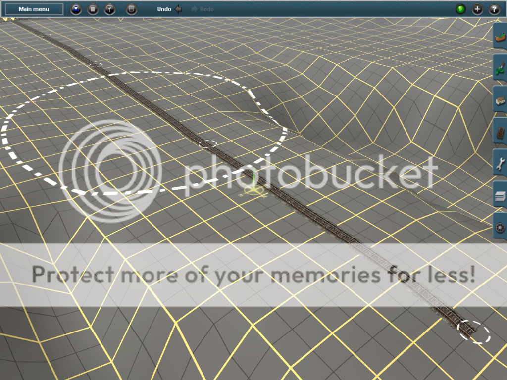
When I did this on a route a while back I created the area at the top and bottom of my hill, making sure to leave area for where the slope would be. It takes a bit, but run a bunch of single-spline tracks from top to bottom over the slope area (make sure none of them connect by holding shift, or you can go back later and disconnect the splines). I mean a bunch of tracks, making sure you cover at least every two ground blocks in the rows (this may mean if your hill is rounded you have splines a lot more bunched together at the top than the bottom). Once your tracks are laid down with splines separated; and the spline points are set height (either before hand using Surveyor options or afterwards by clicking on each point with "Adjust height") then go through and click on each track with the Adjust Ground to Spline (whatever the actual name is)... Even if some of these "undo" what was done by a previous track it adds to the slope's authenticity.

I did this with a couple areas on a route and they ended up looking pretty good - both with long shallow slopes and short steep slopes, and in between. Definitely helps break up the steep cliffs and seems a ton easier than trying to use the smallest cursor and making little changes between each "step" and no steps.

Honestly I may have gotten this from here or somewhere else (maybe one of those youtube vids already posted, I didn't look at them), I don't remember. I could make some screenshots if someone wants.
 
NO ... Maybe in some regions of China or the Andes ... Your Jaggy Craggy's are made with too much sencitivity dialed in, and are way too pointy.

Turn down the dials a tad.
 
Invest in a copy of Transdem and import real world terrain. You can still build a fictional route through it but you will have sensibly profiled hills and logical landscape, depending which area you pick to import.
 
Use the cursor like a paint brush, swirl it slowly around the area, dont keep to straight lines or stop for long periods in one place. Use less sensitivity and swirl around a bit quicker for faster results.
 
Back
Top