Freelance USA mountain railroad

It's been a while since I've made any significant progress on this route, partially because of other projects (I'm about half-way through my book now), and also because I hadn't decided exactly what the landscape on the next section would look like. Anyway, I did get a few hours yesterday, so here's what emerged...

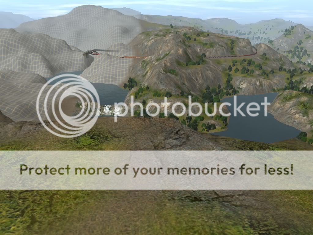
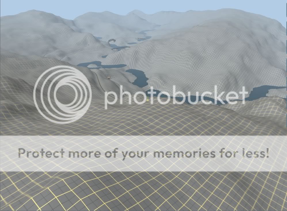
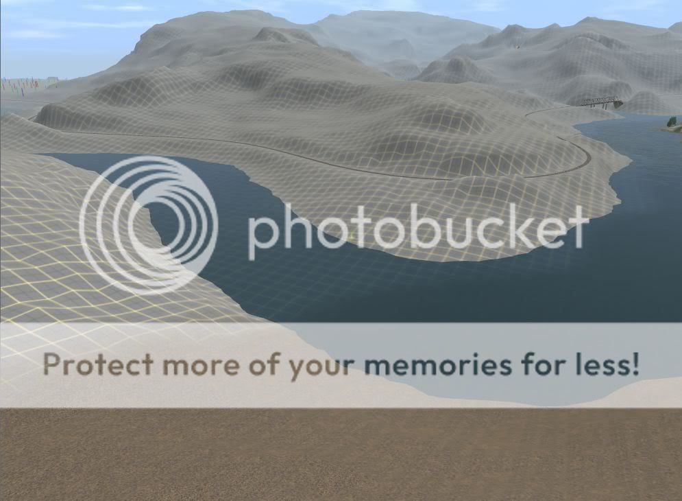
56) The main and branch finally part company, at the confluence of the Flatte and Roaring Fork rivers. This time, it's the branch line that crosses the (Roaring Fork) river, while the main curves away.
WFJ120204a.jpg


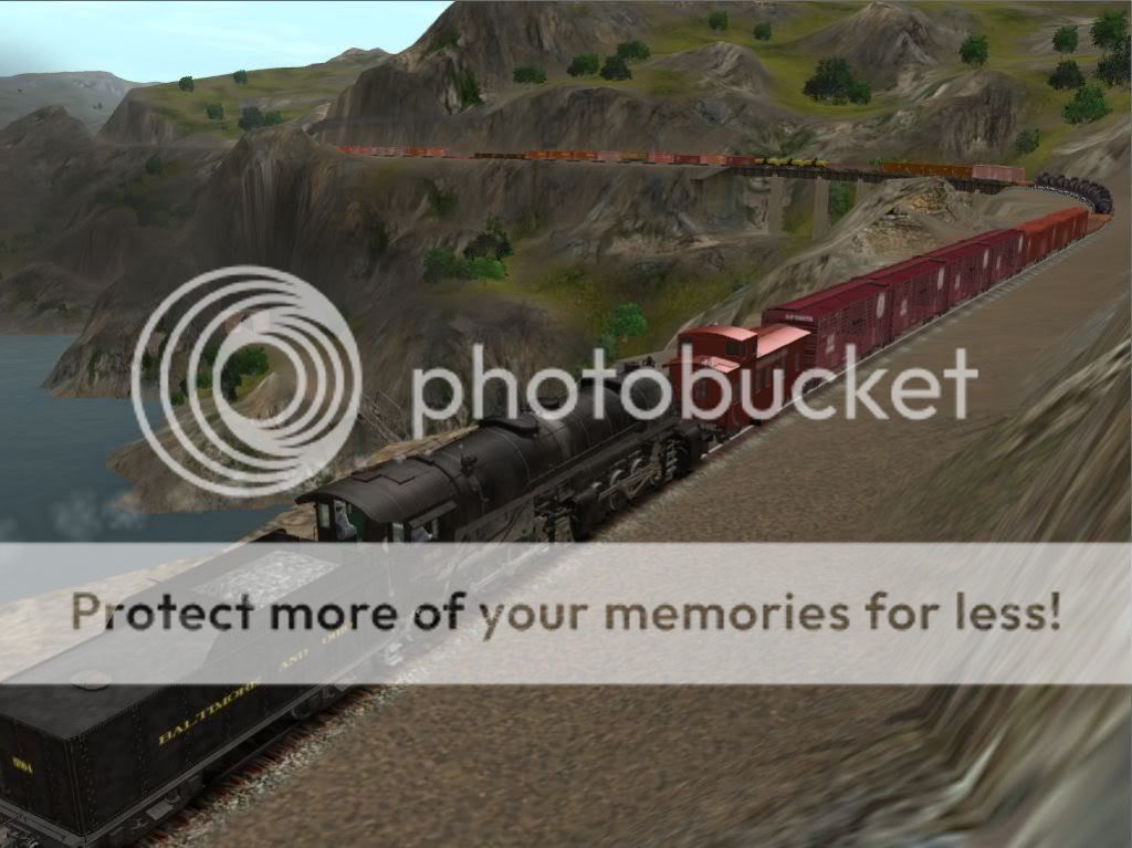
57) The branch continues to follow the easy grade of the Flatte river. By this point, we've dropped down to within a few feet of the water level.
WFJ120204b.jpg


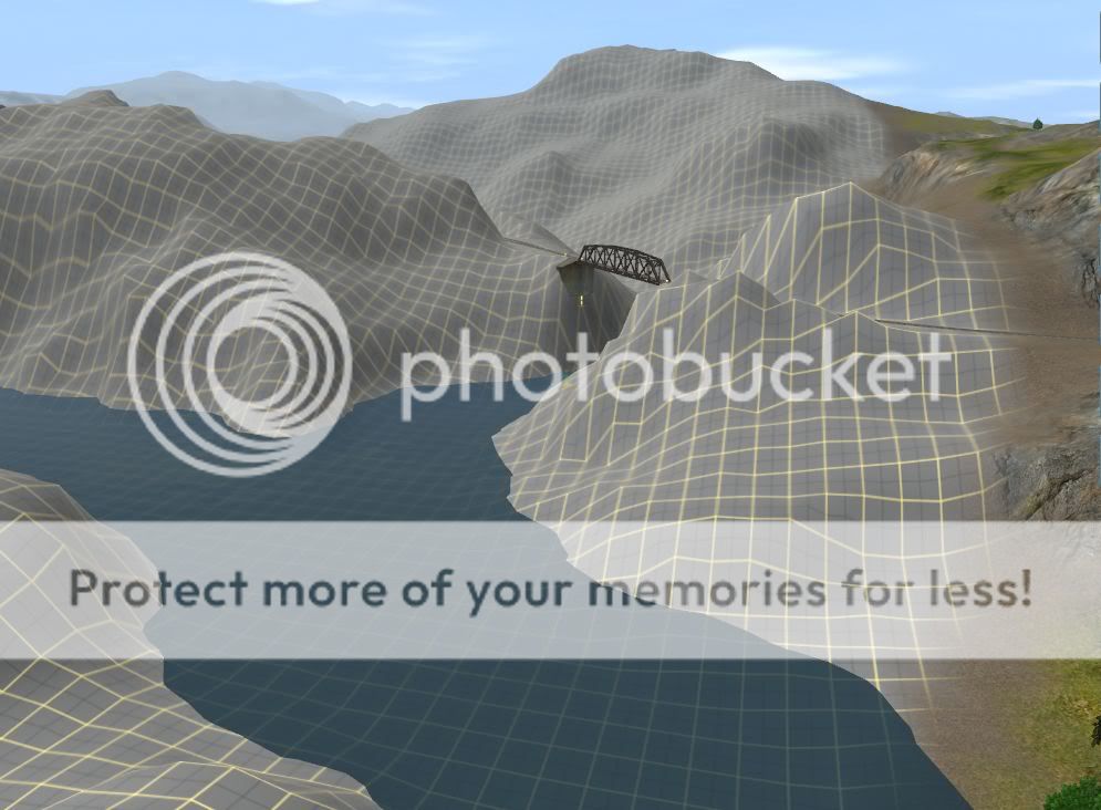
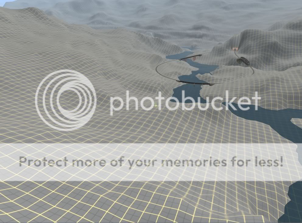
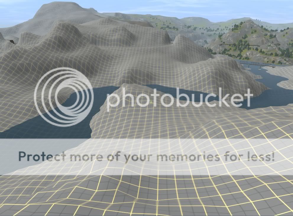
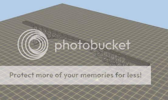
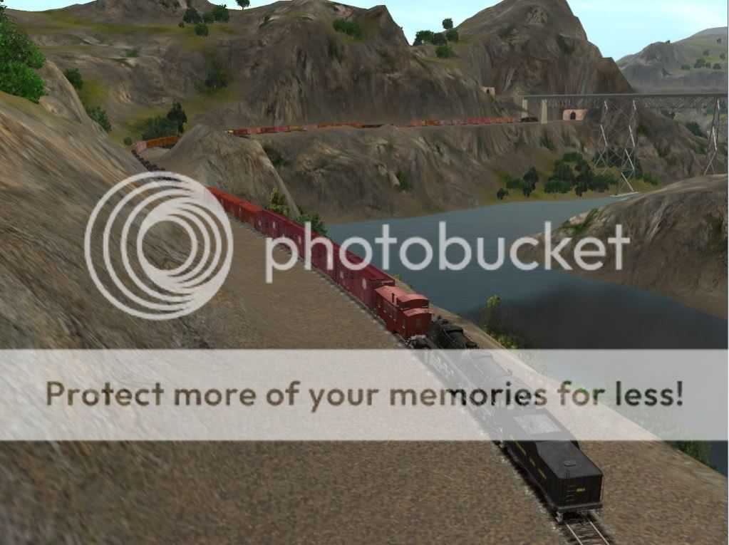
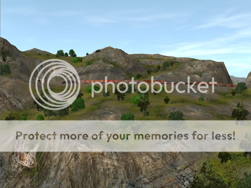
58) The main line finally parts company with the Flatte river, and has a tougher time cutting through the cliffs high above the Roaring Fork, still struggling to gain as much height as possible. A lengthy tunnel under the continental divide is inevitable, but every foot of height we can gain before then, helps to shorten the long bore.
WFJ120204c.jpg


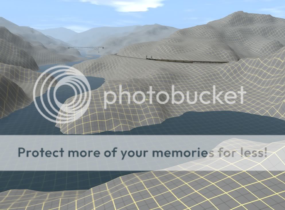
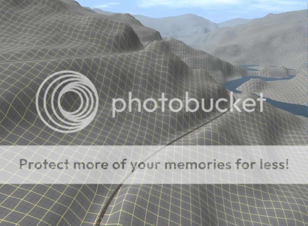
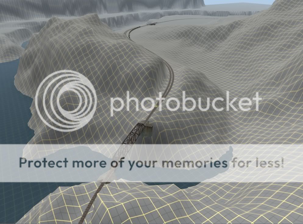
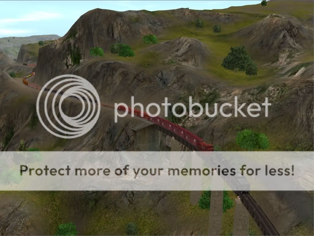
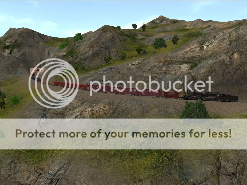
59) We are now about half-way up the big hill. Uphill trains get a brief respite as the track is level through Ridgeway siding.
WFJ120204d.jpg


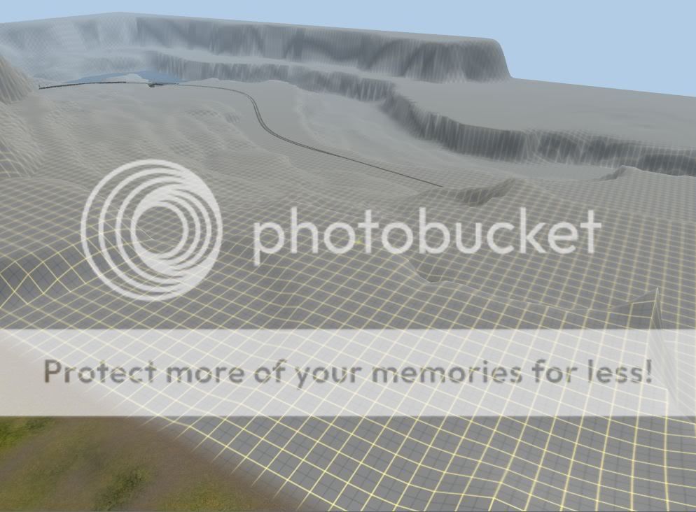
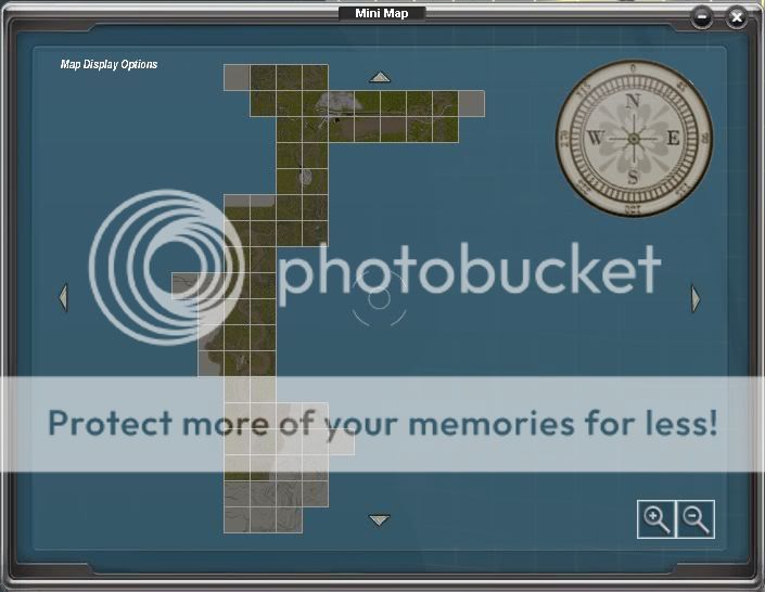
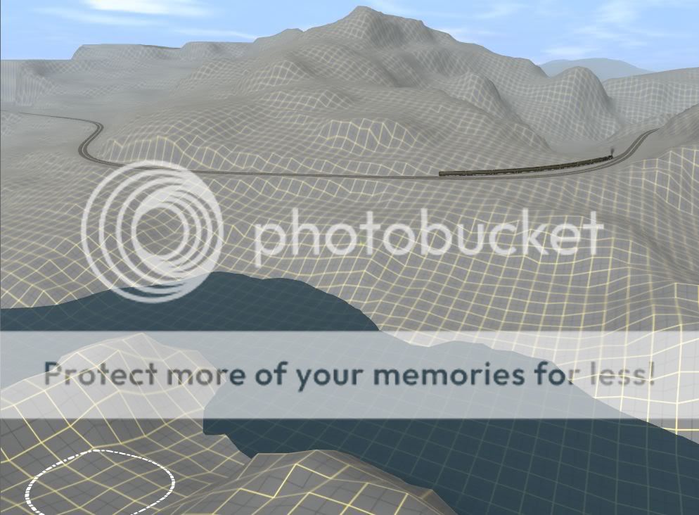
60) Early stages of landscaping around Ridgeway. This is the next area I need to work on, unless I decide to go back and texture what I've already done. Any preferences on what you'd like to see next?
WFJ120204e.jpg
 
Last edited:
I would stay with trackwork, and texture things much later on ... but that is just the way I do things ... Your route looks great ... and looks very fun to run ... lots of operation, and nice passing sidings for meets ! :cool:
 
I would stay with trackwork, and texture things much later on ... but that is just the way I do things ... Your route looks great ... and looks very fun to run ... lots of operation, and nice passing sidings for meets ! :cool:

Actually, before I can go any further with the trackwork, I need a big arched bridge, Ideally something like this, but single track.
BigArchedBridge.jpg


I'm also looking for a tunnel that I can use in place of ordinary track (as opposed to being forced to align it with the grid). The next section calls for several curved tunnels, and the standard tunnels cannot follow a smooth curve.

I never allow my track laying to get too far ahead of the landscaping, because I want to make every curve look necessary. It's important to make the terrain look as though the railroad followed the easiest route AND the river has to look as though it followed the line of least resistance. If I allow the track to get too far ahead, I'll forget how I had planned to do that. Much of the track gets redone more than once before I'm happy with it. That's no big deal when there's only a few sections to redo, but I'd hate to have to go back and replace several miles of it.

Anyway, thanks for the compliments.
Ridgeway is the third siding since Wyefield. Summit is next, and the long tunnel beyond will be the end of phase 2. I haven't decided yet whether to complete the branchlines before I release it.

61) This is what I eventually worked on today. I'm not altogether happy with the landscaping at top center of this picture. I might raise the land well above the level of the track and do away with the bridge. Maybe I'll put the track on a stone retaining wall, with a shallow rock cut behind. I wanted the terrain slightly less severe here, hence this spot being chosen for the passing siding as it's the cheapest place to build a mile of double track.
WFJ120205.jpg
 
Last edited:
Congratulations on your work. I've been modelling for several years now and over that time I've rarely seen such quality to detail that you have shown. And what I mean is 'seeing the landscape' as natural as possible as if you'd taken a photo of the real thing. Keep up the great work. I look forward to viewing your finished layout. I would also be interested in seeing your overall layout plan and maybe a Youtube experience for thousands of others to see how it's done! Cheers, Roy Burnell
 
Congratulations on your work. I've been modelling for several years now and over that time I've rarely seen such quality to detail that you have shown. And what I mean is 'seeing the landscape' as natural as possible as if you'd taken a photo of the real thing. Keep up the great work. I look forward to viewing your finished layout. I would also be interested in seeing your overall layout plan and maybe a Youtube experience for thousands of others to see how it's done! Cheers, Roy Burnell
 
... I would also be interested in seeing your overall layout plan and maybe a Youtube experience for thousands of others to see how it's done! Cheers, Roy Burnell

I have already uploaded several youtube videos of trains running over the route. Here is the latest: http://www.youtube.com/watch?v=qh-p5VuAaXI
I haven't tried a how-to video yet because I don't know how to get my video software (bandicam) to receive input from my mic (actually a webcam).

As for the overall layout plan, I only have it on plain paper at the moment (no scanner available), but I can give you an idea of the route so far.

62) Minimap of the whole layout so far (too small to see the track routing though)
Minimap0.jpg


63) Minimap of the original phase 1 layout (already available on the DLS)
Minimap1.jpg


64) Minimap of the first part of phase 2, South Wyefield to Helper Wye
Minimap2.jpg


65) Minimap of the section from Helper Wye to Ridgeway
Minimap3.jpg


I hope this at least partially satisfies your query.
 
Last edited:
66) Here is the same area shown in photo 61. Better, methinks?
... and to think that it took only a couple of minutes to modify, after I was messing about with the bridge for ages yesterday.
Sometimes less is more.
WFJ120206.jpg

Come to think of it, I'm still not happy with the small conical hill at top right. Time to get the shovel out again...
 
Last edited:
Looks really good.....what's most impressive, is that you made all the landscape yourself, and I know what a pain that is. Nice work, looking forward to more screenies. :wave:

Leroy
 
I've often wondered if he's gone off his rocker to hand-make that terrain. God knows half my routes end up as flat tabletops because I'm too un-talented (read: UBER LAZY :P ) to do that kind of stuff.
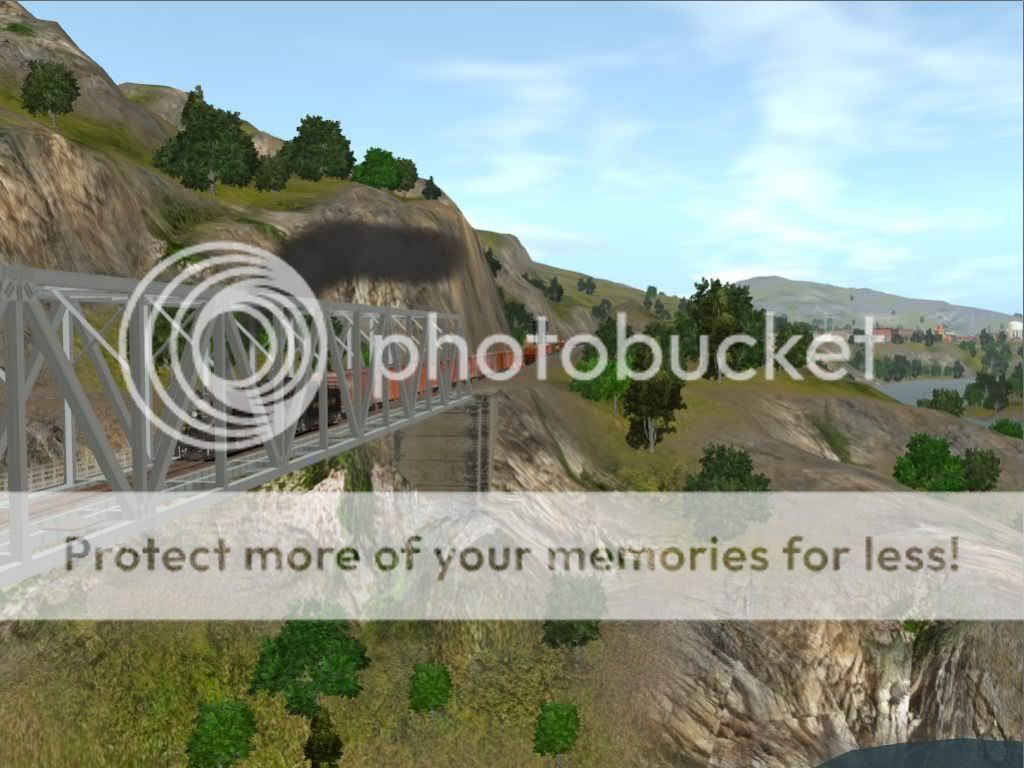
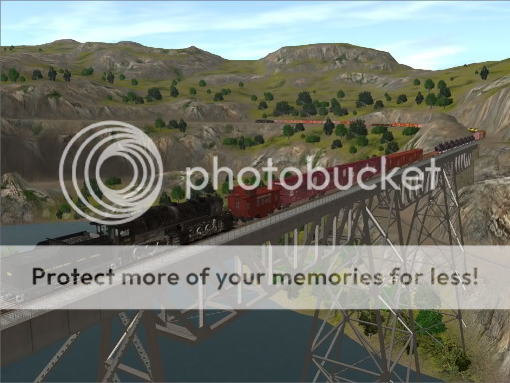
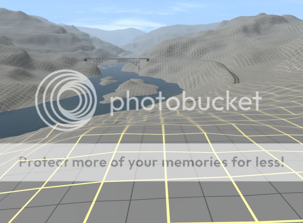
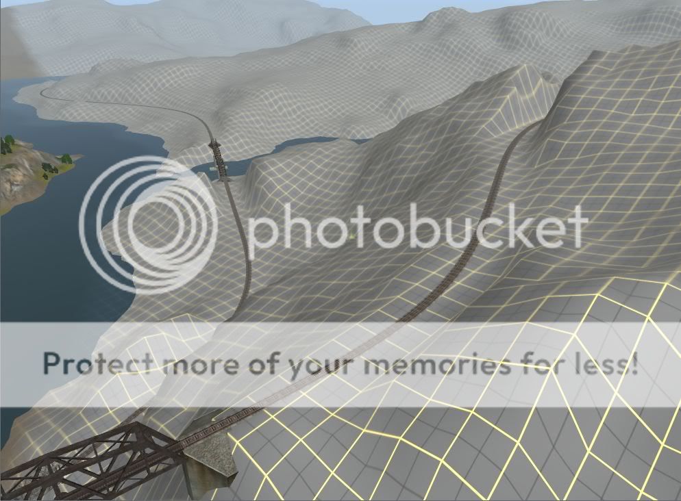
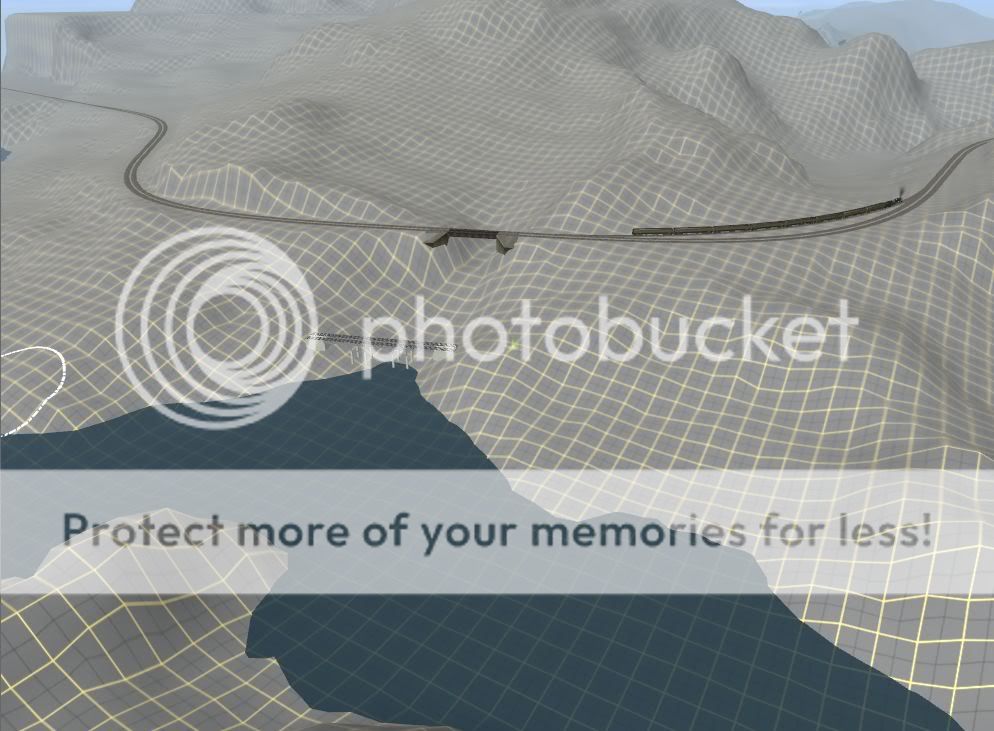
Still, keep up the good work! And don't get hurt by the straight jacket too much!
 
I've often wondered if he's gone off his rocker to hand-make that terrain. ... And don't get hurt by the straight jacket too much!

Last time I checked, I still had my rocker. Also, there's barely enough straight track on the route to make a jacket with. Curves are far more interesting, provided of course the terrain makes them look necessary - even though Traniz makes it extremely challenging (read almost impossible) to build in smooth easements - my biggest gripe about the whole program.

Actually, shaping the terrain is the easiest part of the route, and the texturing also goes quite quickly now that I have simplified my routine. Whereas I used to blend upwards of 20 textures on an area, now I'm doing the whole landscape with just 7 (excluding special effects like waterfalls and built-up areas).
In contrast, I'm finding the hardest part of route-building is locating enough structures with a similar style and scale to put together believable towns.

btw, missing dependencies annoy me too. Maybe we should start the 'abolish missing dependencies foundation' together.
 
Last edited:
The only straight tracks should be (very short sections) right before switchs (if your route is all curves).

From the RoboCop movie: I like it ! I like it allot !
 
Last time I checked, I still had my rocker. Also, there's barely enough straight track on the route to make a jacket with. Curves are far more interesting, provided of course the terrain makes them look necessary - even though Traniz makes it extremely challenging (read almost impossible) to build in smooth easements - my biggest gripe about the whole program.

Actually, shaping the terrain is the easiest part of the route, and the texturing also goes quite quickly now that I have simplified my routine. Whereas I used to blend upwards of 20 textures on an area, now I'm doing the whole landscape with just 7 (excluding special effects like waterfalls and built-up areas).
In contrast, I'm finding the hardest part of route-building is locating enough structures with a similar style and scale to put together believable towns.

btw, missing dependencies annoy me too. Maybe we should start the 'abolish missing dependencies foundation' together.

yeah, I'm no big fan of the way Trainz wants to produce the terrain either. I can live with it, but I've often had to hack at the embankments for my tracks for more than 90 minutes to get the terrain to cooperate (FYI my record is just over three hours. I finally had to walk away before I used my computer for batting practice). Personally, I enjoy laying track a great deal more than I do making terrain...which is probably why my old N-Scale layout ended up being a plywood pacific. :hehe:

And I'll certainly join the "Abolish Missing Dependencies Foundation." God knows I've got so much great content that i can't use because there's that one dependency on some site from Kazakstan that nobody but the guy that made the asset has ever heard of :rolleyes:
 
I hate to have to be the bearer of bad news, but...

I opened up Trainz today in order to take some screen shots and make a new video of the latest progress, and the route has been lost.
Last time I worked on the route, I saved it and exited the program. The computer got turned off soon afterwards, causing Trainz to go into the asset database repair utility - except that it didn't repair anything - instead, it lost the route.
The latest version of the route is not listed in the route menu, and the content manager shows it as "unknown location".
I do have a CDP from about a week ago, but I've done a huge amount of work since then and am not presently predisposed to repeat it.
Too bad. The Flatte river canyon was totally complete, and I had made considerable progress on the Roaring Fork canyon as well (with the track completed almost to Summit).

Is there a way to recover the route from its unknown location?
 
Hopefully someone will be with you soon ... that can tell you how to recover the route.

This is why I create a route in TRS2006 ... and only test it in TS10.

Continuing all my route creaton/editing work in TRS2006
 
Good news. There turned out to be a perfectly good version of the route in the AUTOSAVE file. I only had to repeat the last half hour's tree-planting.

I made the new video this afternoon (currently being uploaded to youtube very slowly).
Here are some new screenshots I made during the run.
Enjoy them while the video is uploading.

67) A freight train pulling out of Helper Junction and making its second crossing of the Flatte river.
WFJ120211a.jpg


68) Both locomotives working hard as the full train hits the 1.8% grade.
WFJ120211b.jpg


69) Over the high trestle and across the river for the last time.
WFJ120211c.jpg


70) I've taken quite a few screenshots in this location, but I think this is the first one looking in this direction.
WFJ120211d.jpg


71) Winding ever higher up the canyon side. The head end is two ridges away.
WFJ120211e.jpg


72) The head end prepars to leave the Flatte River Canyon behind forever.
WFJ120211f.jpg


73) Crossing over. The Roaring Fork Canyon lies just past the ridge.
WFJ120211g.jpg


74) Just by way of a progress shot, showing the Flatte River Canyon on the right (completely finished at last :)) and the Roaring Fork on the left. Ridgeway siding starts just beyond the bridge.
WFJ120211h.jpg
 
Last edited:
You're having way too much fun on this route ! :cool:

So the maximum gradient is 1.8% ?

That sounds fun ... keeping 1 mile long freights under control in Cab Mode. :eek:

Glad you got the route back again !
 
It's been a while since I've posted any new progress photos - long enough to get this thread all the way down to page 5.
Here's what I've been working on for the past couple of weeks (not continuously as I've also had other activities competing for my time).
Anyway, my book reached the 100,000 word milestone yesterday so I figured I can go back to Trainz for a bit.

These views all show the Roaring Fork River Canyon and the next leg of the route. Here the track winds its way along the river bank as far as it can before turning back on itself to gain another 387 feet in elevation. That's another 20 boards to texture!
Hope everyone likes this section, because I do.
Watch this space for another video which I hope to upload later today.

75)
WFJ120223a.jpg


76)
WFJ120223b.jpg


77)
WFJ120223c.jpg


78)
WFJ120223d.jpg


79)
WFJ120223e.jpg


80)
WFJ120223f.jpg
 
Back
Top