itzemmyjane
stonks goin up
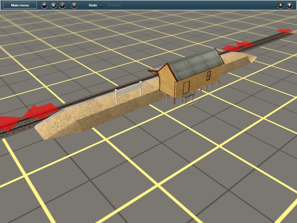
i think the colours on the signalbox part need to be the same textures as the actual building. just my 2 cents worth
Follow along with the video below to see how to install our site as a web app on your home screen.
Note: This feature may not be available in some browsers.
the line used to run on the north side of the road right next to it for about 3/4 of the length. then at the old Hume highway it crossed over and ran about 500 meters to the west until the river where it came back next to the road again. all in all I think it was about 16km
cheers
pete
Not a screen shot, sorry but a bit of material that may help in the general situation.the line used to run on the north side of the road right next to it for about 3/4 of the length. then at the old Hume highway it crossed over and ran about 500 meters to the west until the river where it came back next to the road again. all in all I think it was about 16km
cheerspete

Not a screen shot, sorry but a bit of material that may help in the general situation.
Re the Camden line mentioned above plus and all other Australian lines; there is a Google Earth add on that contains ALL rail tracks in the WHOLE OF AUSTRALIA, whether open or closed; government, private, tramline, timber tramway, industrial railway, temporary construction railway, incline etc.
Anything that anyone might consider a "railway", regardless of gauge or purpose.
http://www.railpage.com.au/f-t11349045.htm
Sorry if you already know about that Google Earth add on as I am new around here and have not read all the 873 pages on this thread. My verdict on you lot? Very impressed with your abilities and generosity


Have you tried a new user name which is completely different to your previous Railpage identity?thanks for your imput
the only problem i got i can't get back in to rail page after it went down
cheers,patchy
") .
.
2009, well lucky for you I dont know what the version number for 2010 is, I used the config maker in 2010 funny that.
patchy, forget the expressway it was not there when the line was open. you could try railnet they may still have the camden line
cheers
pete


Thanks heaps Patchy! I look forward to having a go at this, although I don't think the fireman is going to be having much fun. I can scan and email you a curve and gradient diagram if it helps.found a good map on wikipedia,just got to sort out the old and the new with goolge earth,should'nt be to hard once i get my bearings
fancy me helping you mob south of the border:hehe: :hehe: :hehe:
cheers,
patchy
Patchy,
If you want a more accurate representation, head on over to Railpage and login or register, and under the downloads section you can find a Kmz map for Google Earth containing more or less every Australian Train, tram or trolley route that's ever been going as an overlay.
So that includes the Camden line. Very handy, for everyone! You'll see many routes you might not have even known existed!