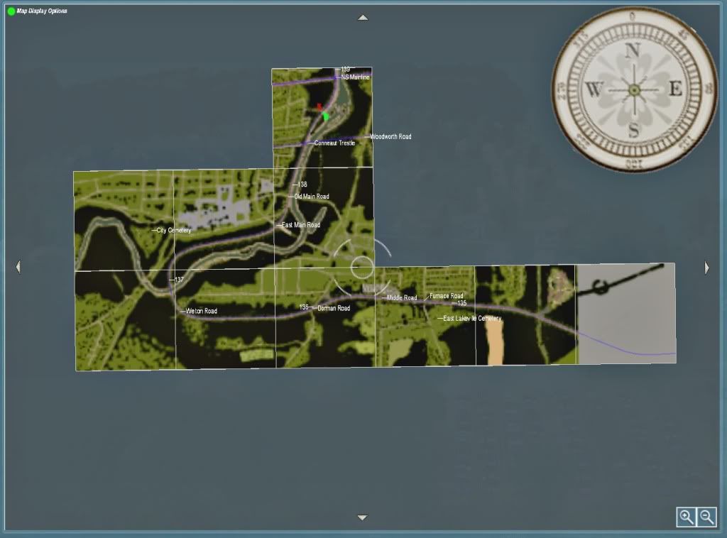
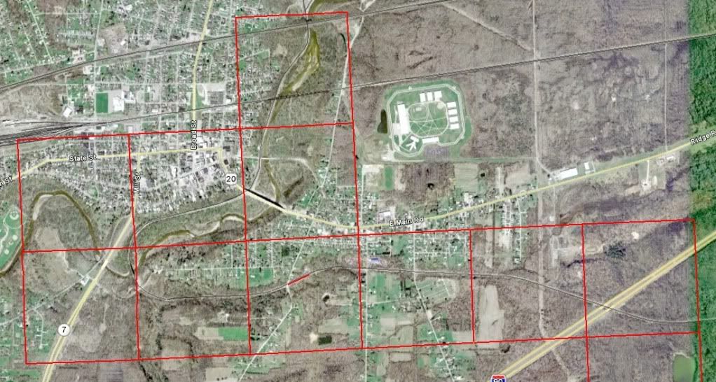
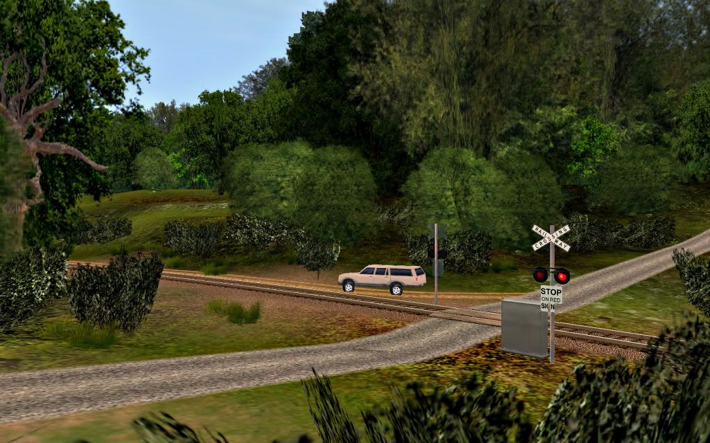
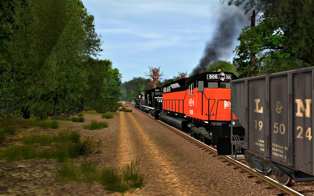
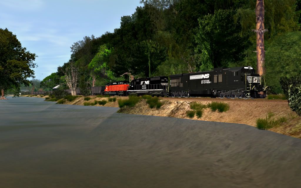
George, please look up to the right and see where I am. It's pronounced Connyott. I live in Conneaut Harbor. The winding curve and grade going south out of Conneaut is called the Hogs Back. The Bessemer has always been the Bessemer. It was never the Pennsylvania Railroad. There is an abandoned PRR Line east of Conneaut called Thornton Junction that went south to Linesville and Stoneboro Pa.
Here's a photo of Norfolk & Western J #611 in Albion yards. It's from an excursion about 22 years ago.

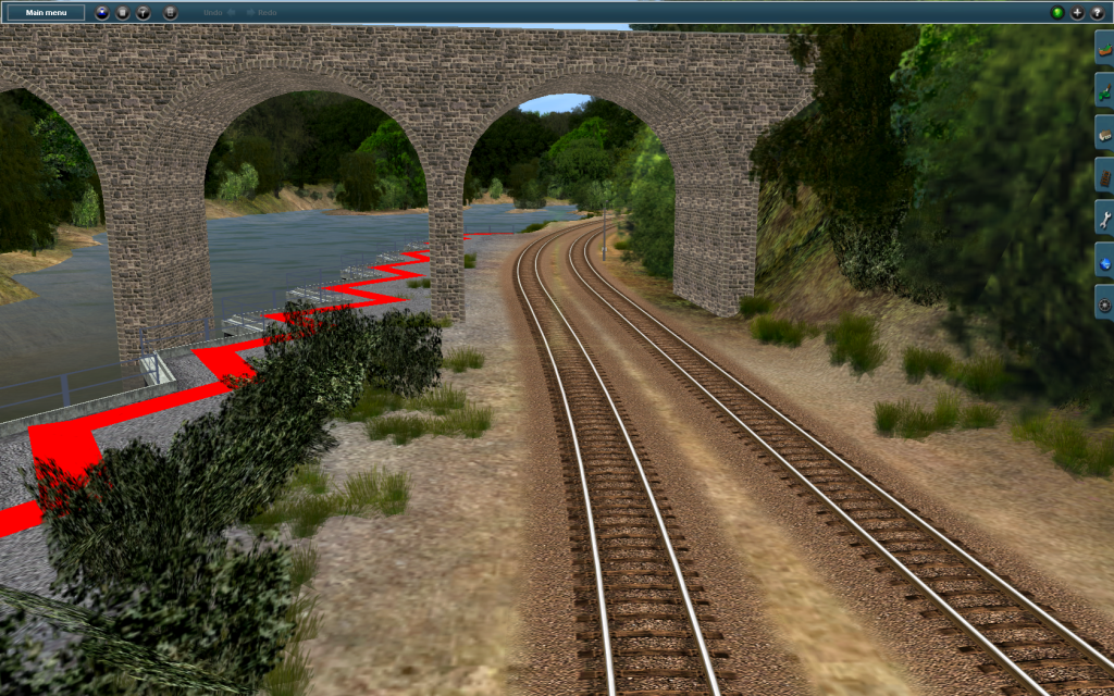
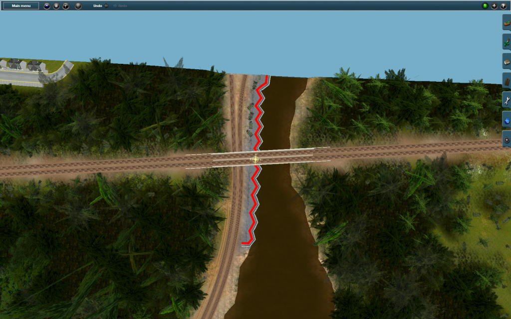
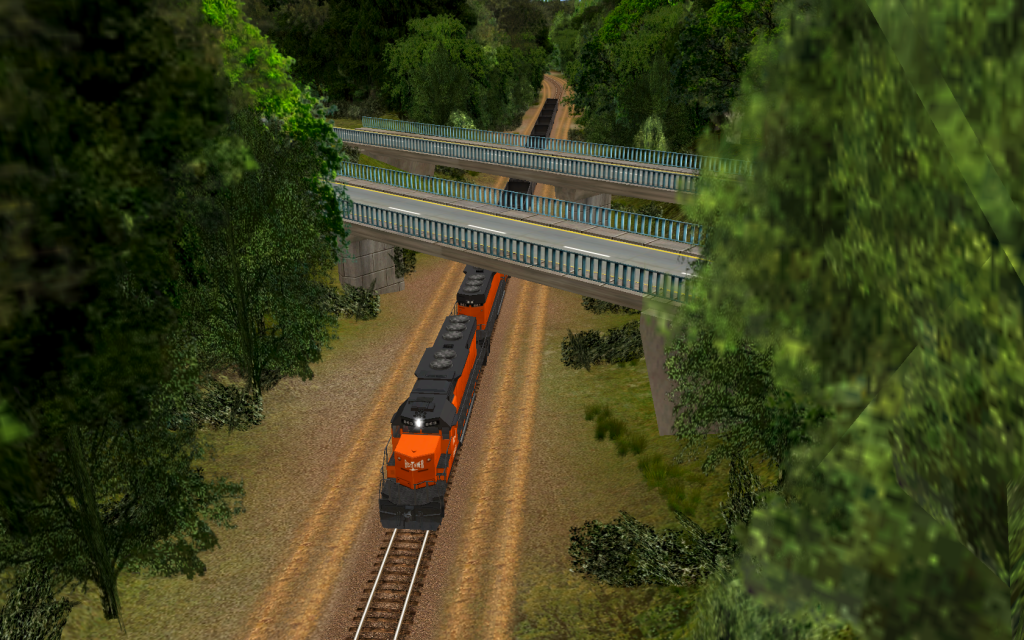
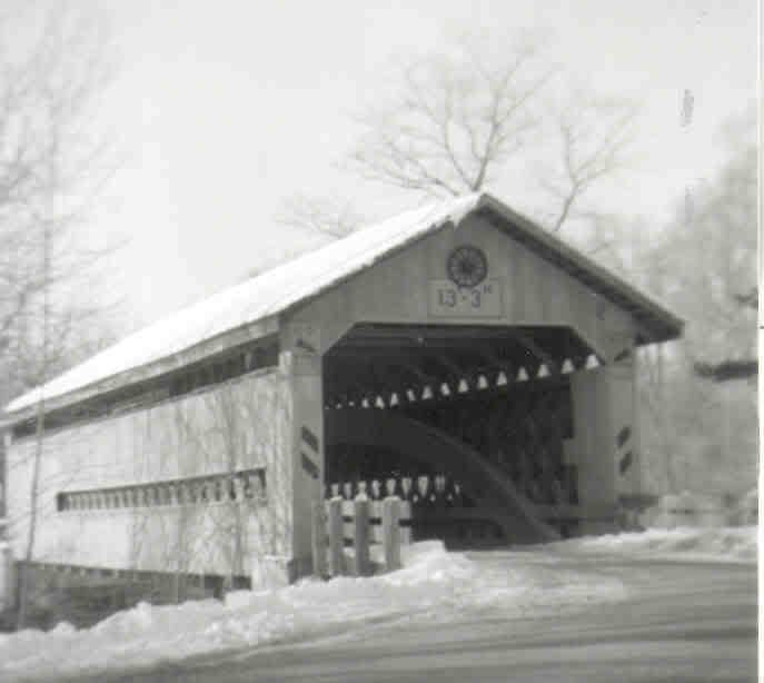
Here's the covered bridge over Conneaut Creek.
Here's a photo of Norfolk & Western J #611 in Albion yards. It's from an excursion about 22 years ago.
Here's the covered bridge over Conneaut Creek.
Last edited:
 If there is anymore information that you have that you think would aid me in the building of the route then please do let me know!
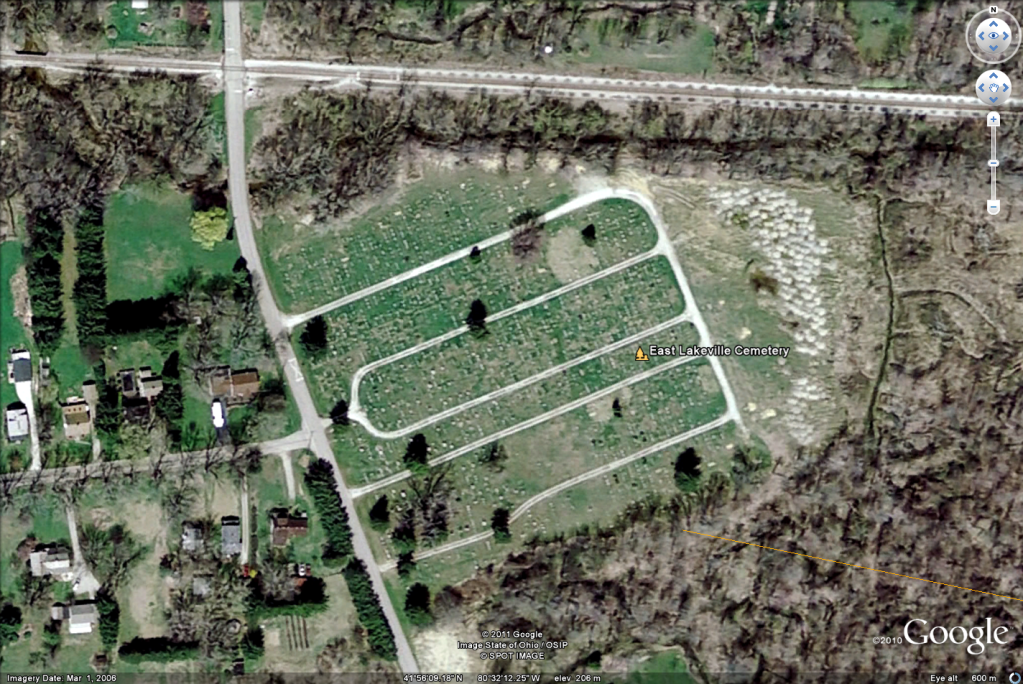
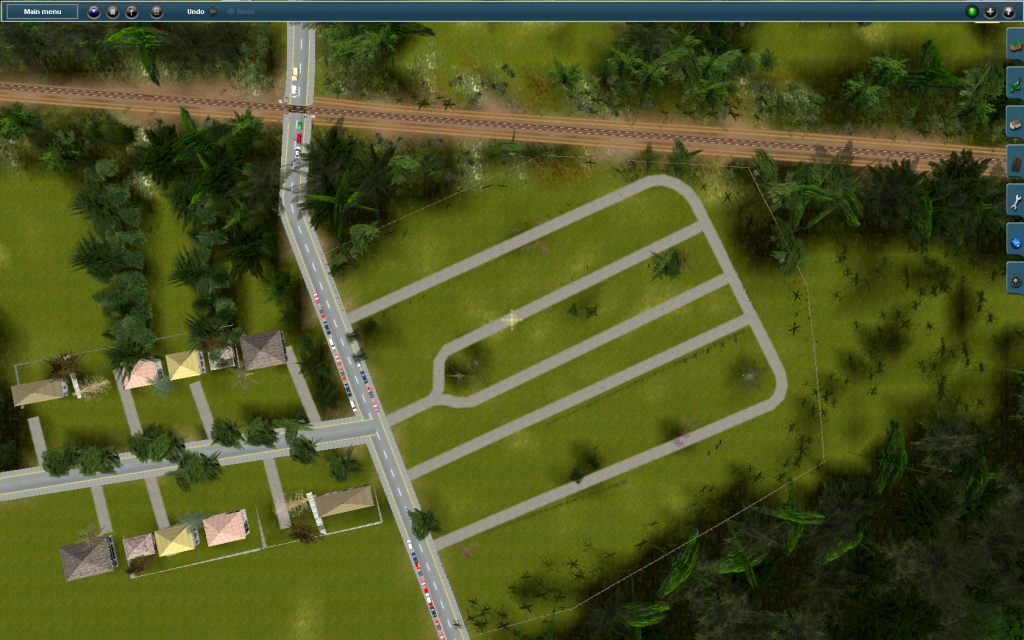
 ")