You post has been a godsend! Does DTC mean that they don't use signals and they just use radio contact? If so that pretty easy for me
")
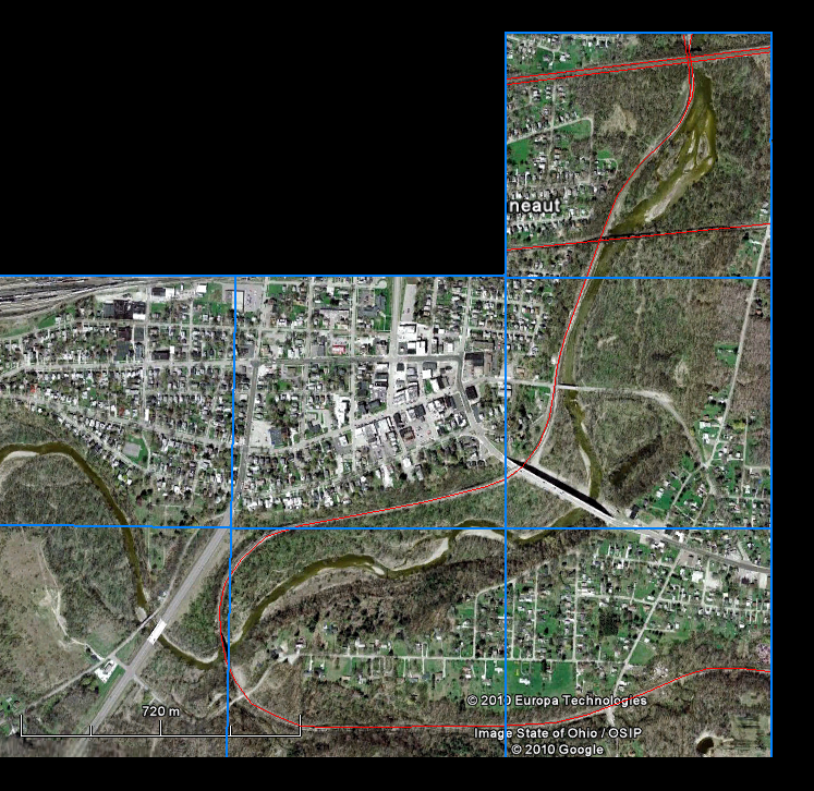
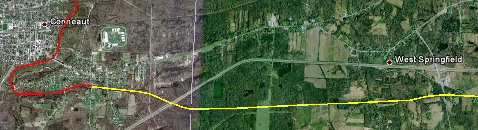
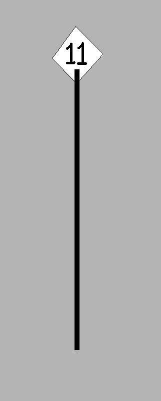
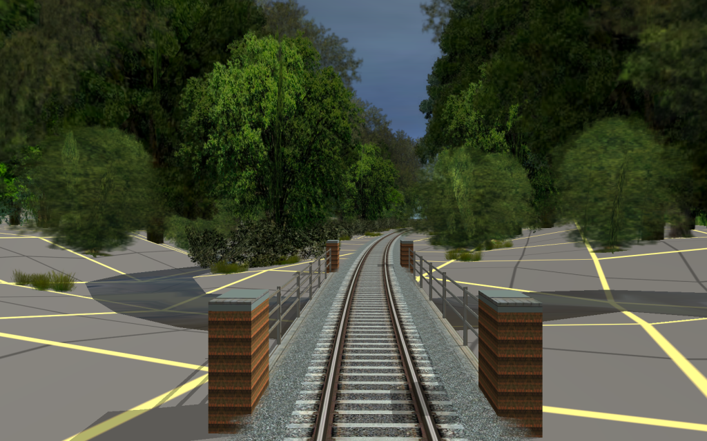
Don't need to worry about signals for now then! As for the mile markers, I guess I'll either work back from Conneaut starting at 139 or I'll complete the track all the way to Albion and work my way from there. Please keep me posted to anymore information you manage to get! I think I have got the grades worked out for now. What does RX stand for? I have seen these two letter codes before, for instance, further down the line at Saxonburg I have seen SX South. What are they used for and are there any others I should be aware of in this section of the line (Conneaut to Albion). I apologise for my lack of knowledge, I am from the UK after all so my research is quite limited, so I especially appreciate the help!

Thank you so much for the help.
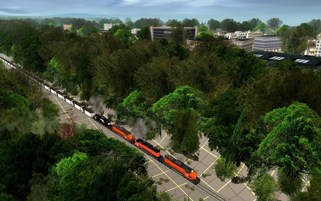
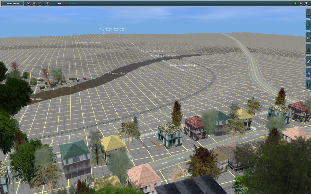
Glad your liking the route so far.
Please feel free to email me at
Thanks again!
George

") And I've got them! Would you like me to feature them in a screen shot?
And I've got them! Would you like me to feature them in a screen shot?