Install the app
How to install the app on iOS
Follow along with the video below to see how to install our site as a web app on your home screen.
Note: This feature may not be available in some browsers.
You are using an out of date browser. It may not display this or other websites correctly.
You should upgrade or use an alternative browser.
You should upgrade or use an alternative browser.
Your Map Progress Pictures
- Thread starter bigboy4010
- Start date
decontrol80
New member
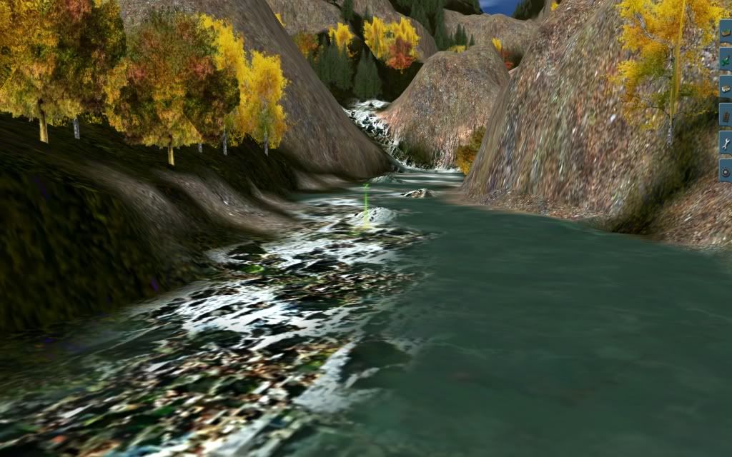
Some pics of my first route, completely fictional


decontrol80
New member
Thanks rail4pete I believe its industrial building 17 built in to trainz 12.
kuid is 523:1426
kuid is 523:1426
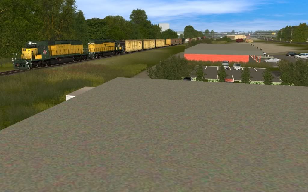
Leaving Lebanon
Decided to start playing around with surveyor and I'm really impressed on how easy it is to create a good looking route.
Natrally started with my hometown route which is the Nashville and Eastern Railroad. Just wanted to show my progress...
Leaving the Lebanon Shops
Uncle Pete's Rest stop on I-40
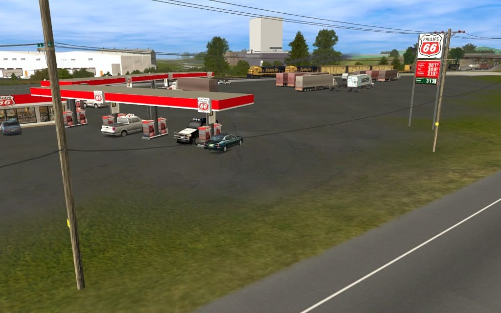
Along Sparta Pike
Decided to start playing around with surveyor and I'm really impressed on how easy it is to create a good looking route.
Natrally started with my hometown route which is the Nashville and Eastern Railroad. Just wanted to show my progress...
Leaving the Lebanon Shops
Uncle Pete's Rest stop on I-40
Along Sparta Pike
Retro00064
New member
Edelton Lake Line: Planting UltraTreez
Great shots, all!")
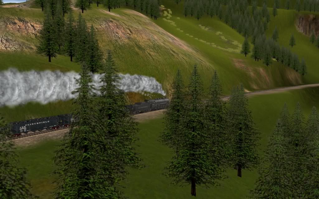
Thought I would post a screenshot of my work-in-progress personal U. S. route and revive this thread.
Got to thank Brittany (McGuireL) for her awesome UltraTreez series of SpeedTrees and for releasing some of them several days ago, resulting in me using only UltraTreez for my new forests, resulting in some great-looking forests. Thanks Brittany!
Regards,
Retro.

Great shots, all!
Thought I would post a screenshot of my work-in-progress personal U. S. route and revive this thread.
Got to thank Brittany (McGuireL) for her awesome UltraTreez series of SpeedTrees and for releasing some of them several days ago, resulting in me using only UltraTreez for my new forests, resulting in some great-looking forests. Thanks Brittany!
Regards,
Retro.
Last edited:
Why Not?
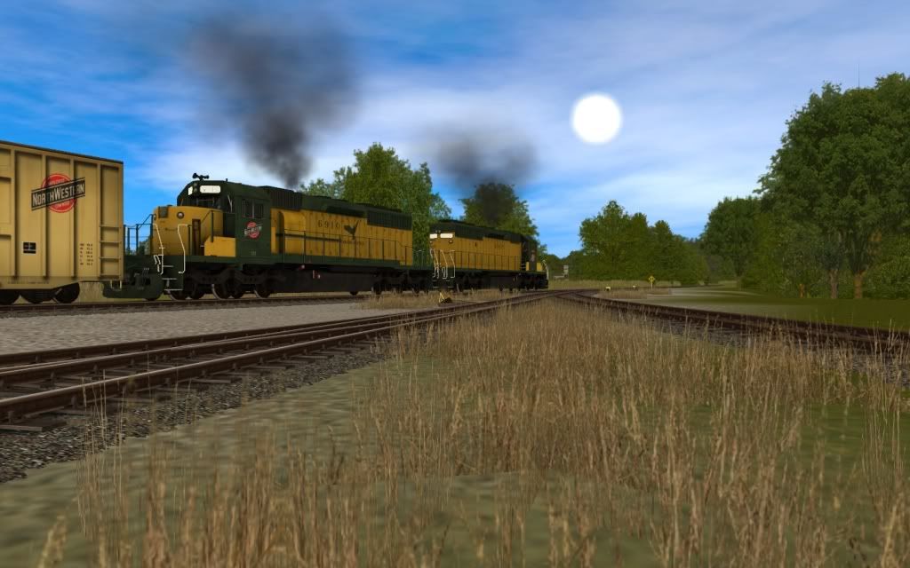
I Figured I Would Post Some Pics Of My New WIP Route
CNW - Lexington Branch
This Route Is 100% Fiction And Far From Done
And I Just Know I Am Guna Get Smart Comments From People I Know:hehe:


Comments Welcome
-Taylor
p.s.
the wait for this one will be worth the wait
i am giving it my all and i will not settle for anything less than perfect
I Figured I Would Post Some Pics Of My New WIP Route
CNW - Lexington Branch
This Route Is 100% Fiction And Far From Done
And I Just Know I Am Guna Get Smart Comments From People I Know:hehe:
Comments Welcome
-Taylor
p.s.
the wait for this one will be worth the wait
i am giving it my all and i will not settle for anything less than perfect
Boxcars???
Nice box cars, where did you get them ?
Some pics of my first route, completely fictional
Nice box cars, where did you get them ?
What happened ?
Rail for Pete, what has happend to all your nice QCR pictures???
QUEBEC CENTRAL Chaudière division: Barn at Beauceville, mile 14.[/IMG]
Rail4Pete
Rail for Pete, what has happend to all your nice QCR pictures???


I'm publishing the scenario: https://www.box.com/s/1f2410f20b8f26f30822
I'm publishing a session: https://www.box.com/s/0ad99a32ff5be4e674b0
I'm publishing a session: https://www.box.com/s/0ad99a32ff5be4e674b0

William0d0
Active member

William0d0
Active member
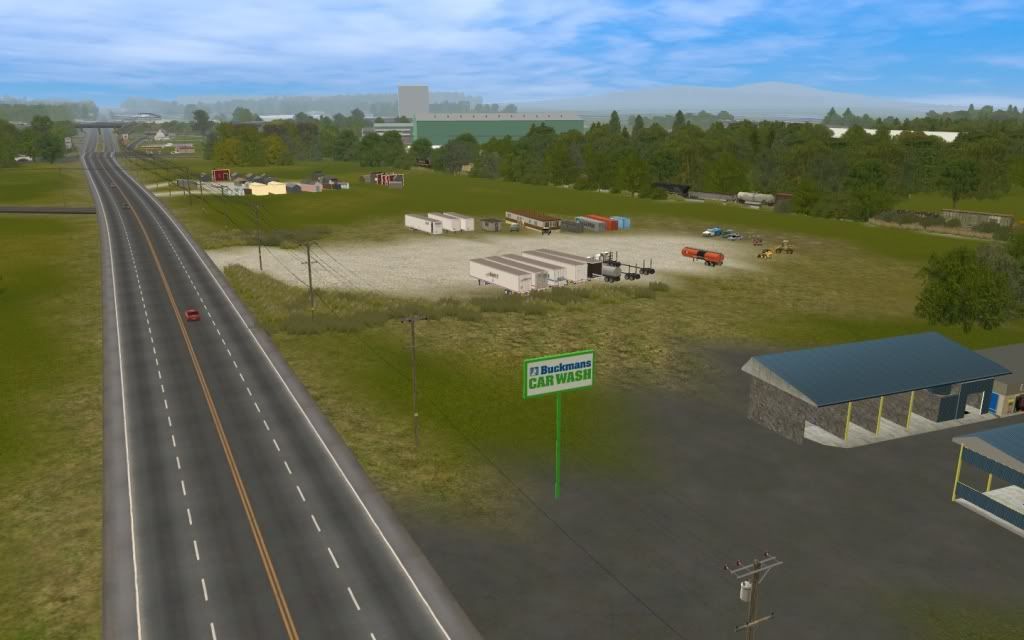
Working on the fictional town of Seacrest.
FYI: When you decide your texture usage is totally crappy and delete them the baseboards get that criss cross look.

By billparadise at 2012-06-01
Tonights big project was to name all of the 05 and 06 Searchlight Signals. Completed. I know there is at least 1 path rule which can set a signals state, but of course they must be named.
Also the town of Seacrest had major changes regarding the roads and so there still needs to be major adjustments of the street lights. Luckily I had the foresight to place all of the street lights onto a separate route layer, so they will be easier to grab and move.
I might also add that all of the static carz and truckz (no spline objects, all individually placed including the occasional terribly parked car) are on a separate session layer. It will allow for a more "per-session custom look".
All Your Page 38 Are Belong To Me.
FYI: When you decide your texture usage is totally crappy and delete them the baseboards get that criss cross look.
By billparadise at 2012-06-01
Tonights big project was to name all of the 05 and 06 Searchlight Signals. Completed. I know there is at least 1 path rule which can set a signals state, but of course they must be named.
Also the town of Seacrest had major changes regarding the roads and so there still needs to be major adjustments of the street lights. Luckily I had the foresight to place all of the street lights onto a separate route layer, so they will be easier to grab and move.
I might also add that all of the static carz and truckz (no spline objects, all individually placed including the occasional terribly parked car) are on a separate session layer. It will allow for a more "per-session custom look".
All Your Page 38 Are Belong To Me.
montanawestren
meh..
Nice, Tennesee Pass is my favorite UP line. Will this be realesed?Minturn, Co Crew change stop on the Tennessee Pass

Thanks, umm not sure if this route will be released. It's more of a test for a future project. The main reason being that the summit is 3100 trainz meters above sea level. 100 more then trainz will allow track to be layed accurately... So I would have to get a new map lowered in transdem in order to have a go at the whole route. That being said, I would love to model the pass at some point


Similar threads
- Replies
- 13
- Views
- 358
- Replies
- 4
- Views
- 176
- Replies
- 7
- Views
- 278