horacefithers
New member
I've been hard at work on the BC&SJ (Bear Creek & South Jackson) virtual edition.
The Junction City area is getting close to being finished up. So I thought I would share some screen shots with y'all...
First a map of the BCSJ route with the Junction City area hilighted.
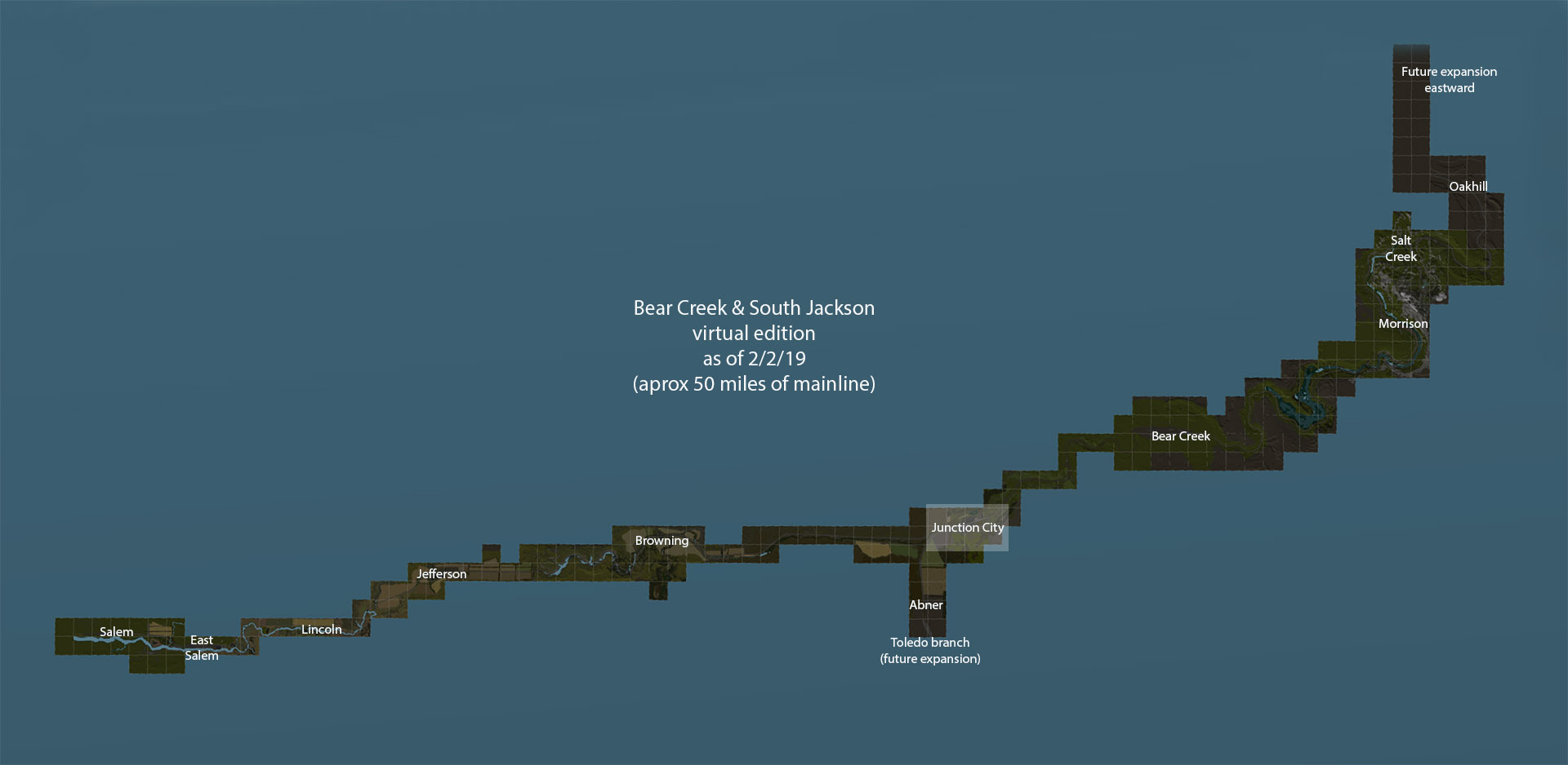
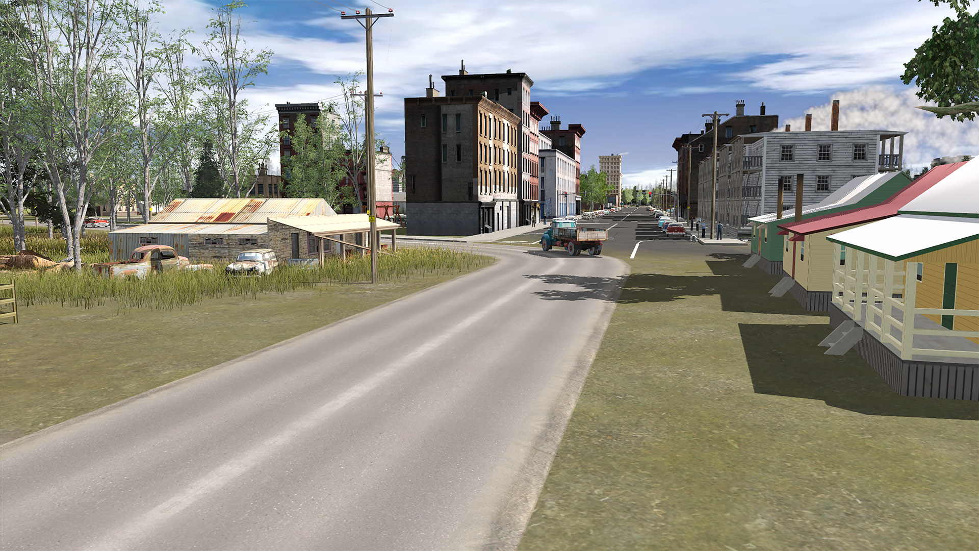
The BC&SJ is a fictional route crossing the Oregon Cascades in the early 1950s... (mostly)
Trains start at the flat lands end of things in Salem then progress though flat terrain, some hilly areas and after passing Bear Creek head up into the mountains.
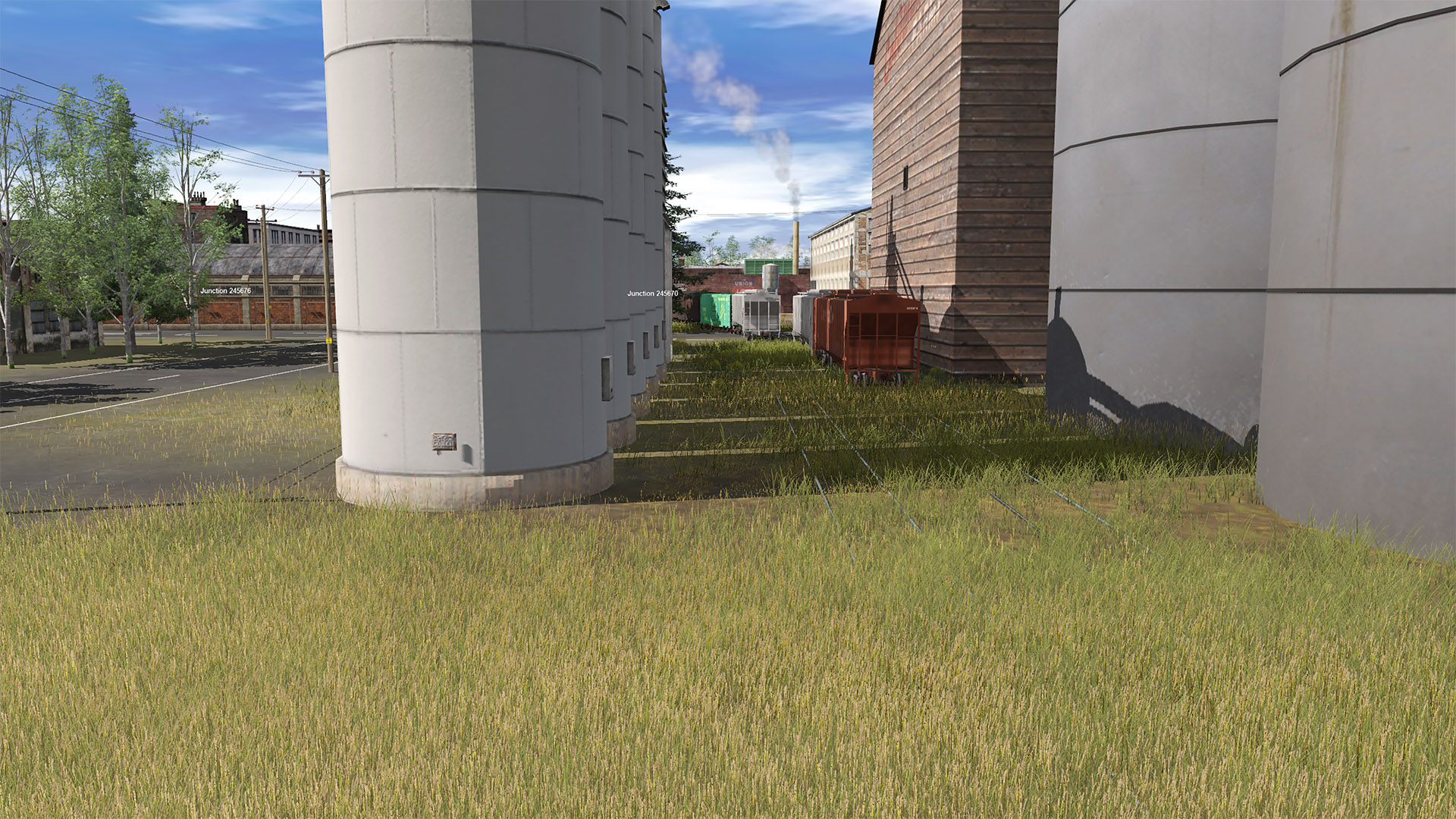
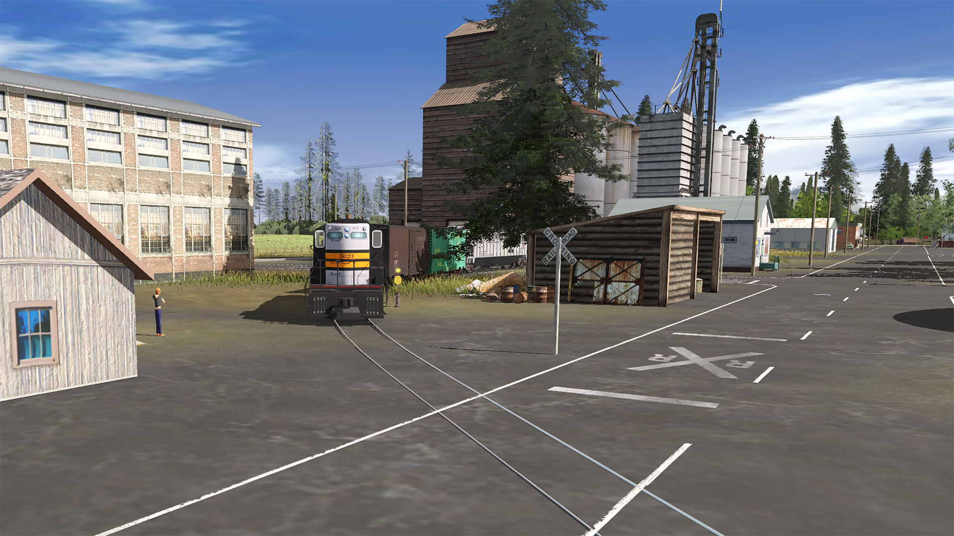
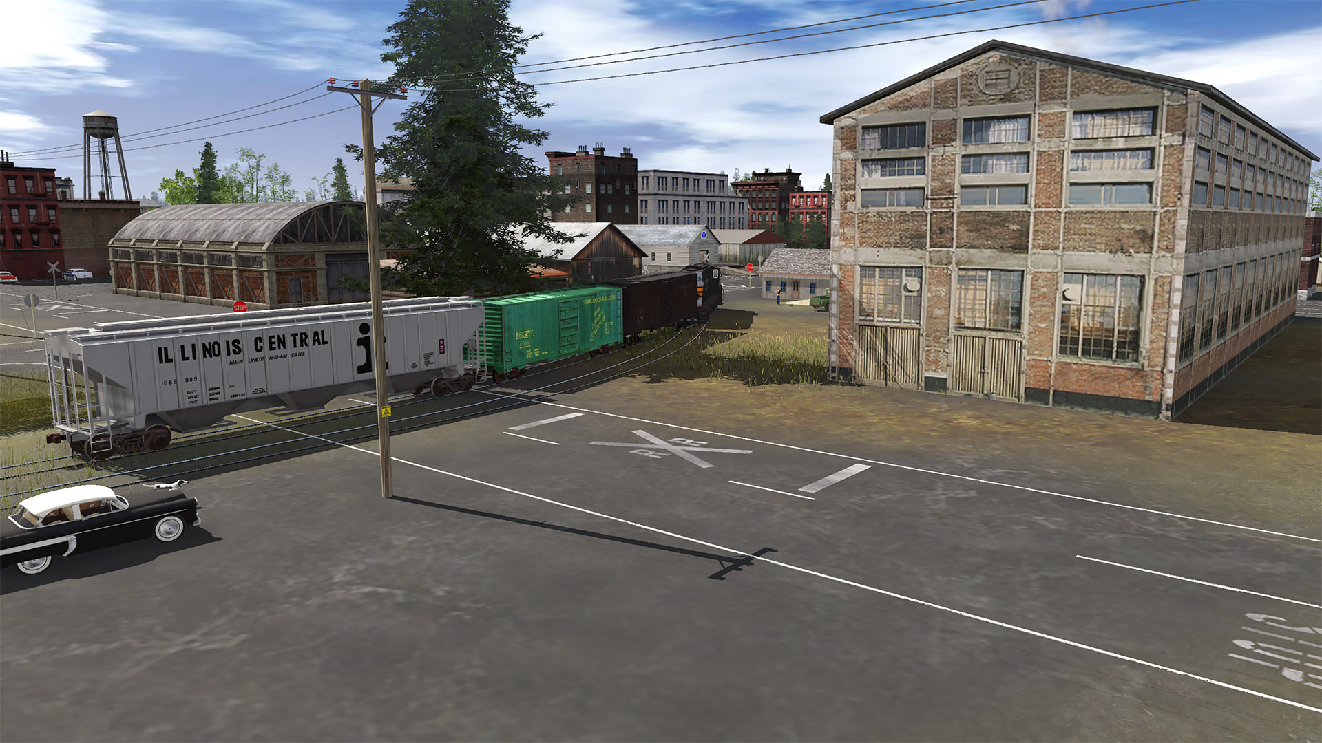
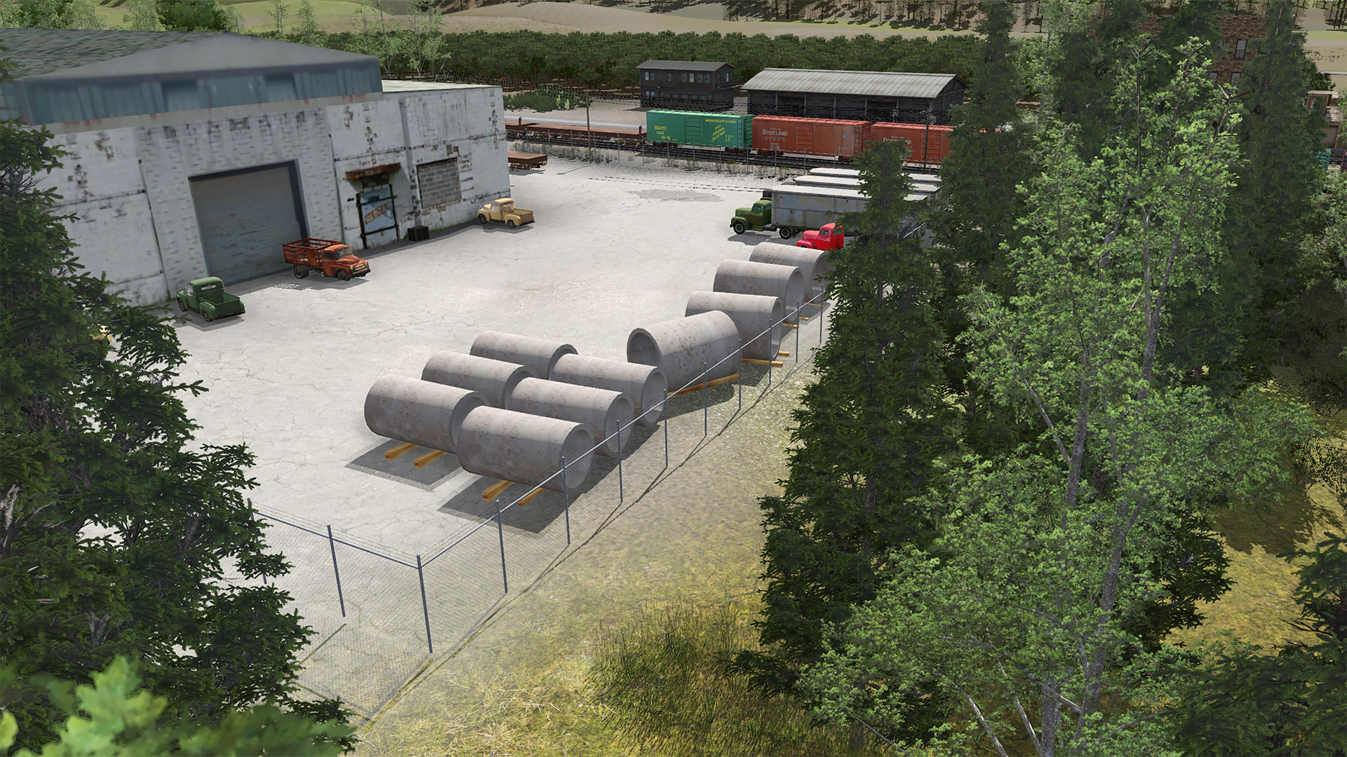
Junction City is located next to (railroad west of) Bear Creek. Most towns on the BC&SJ are aggie centric. Junction City is more industrial with a number of factories.
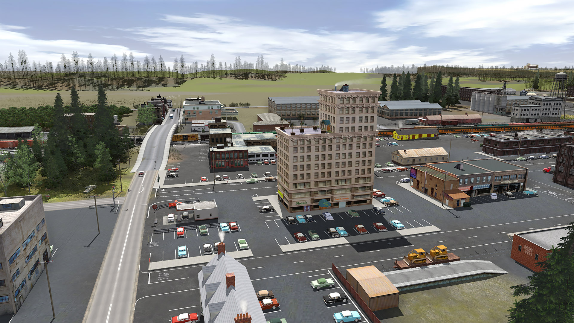
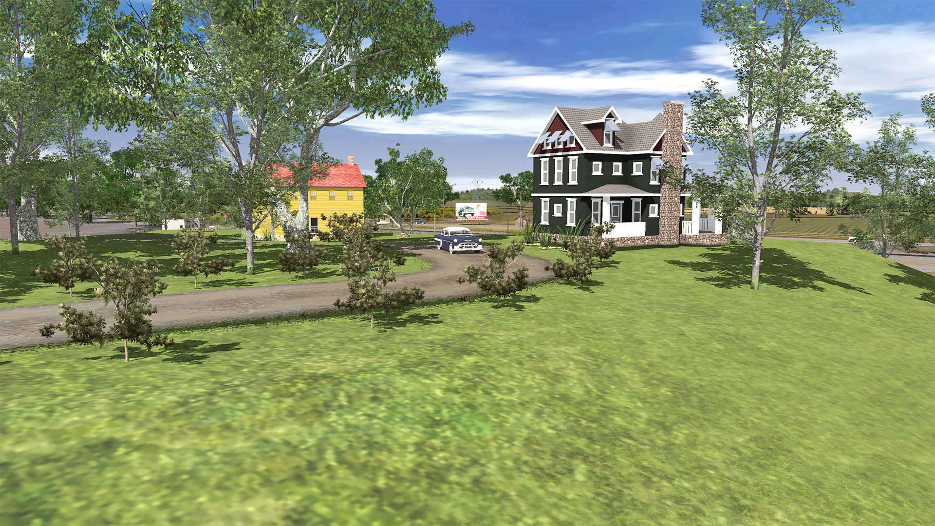
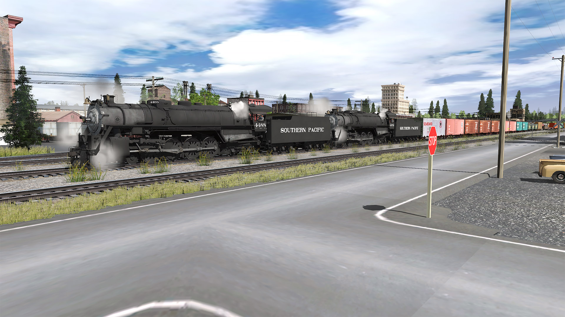
Here's the west end of town
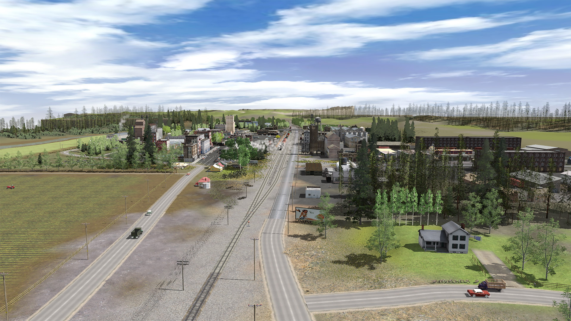
And another aerial view from the West end of town...
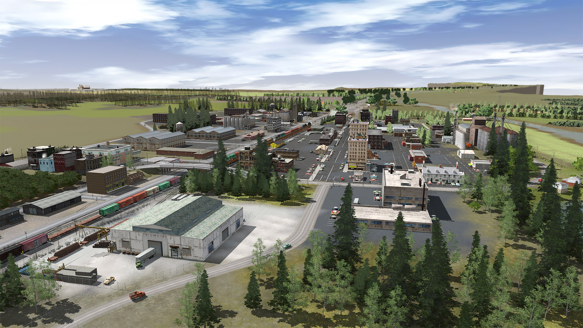
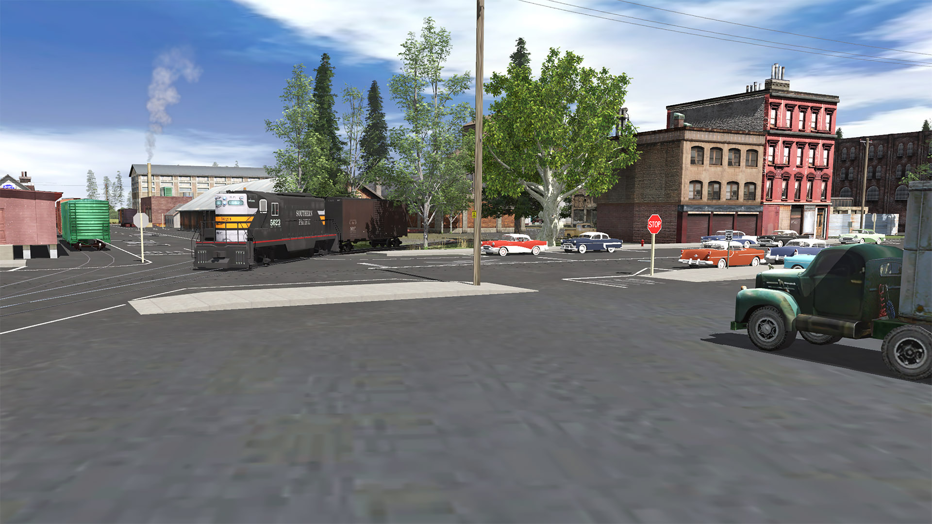
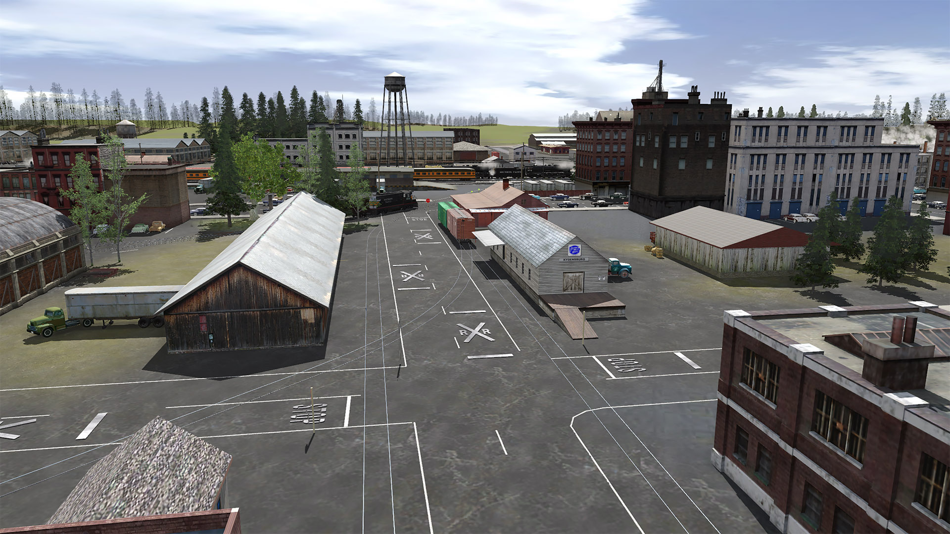
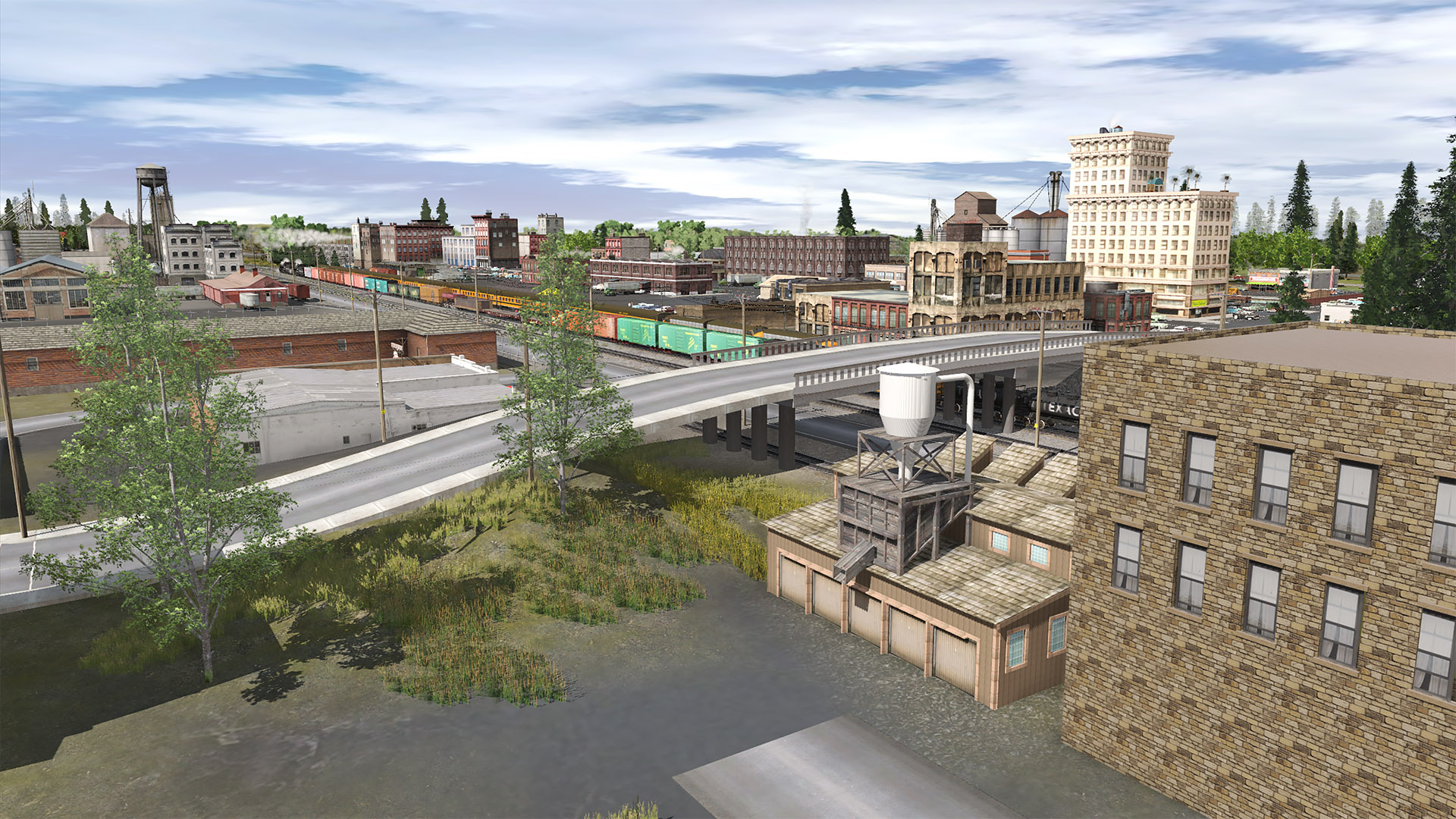
Here's an aerial view taken from the East end of Junction City...
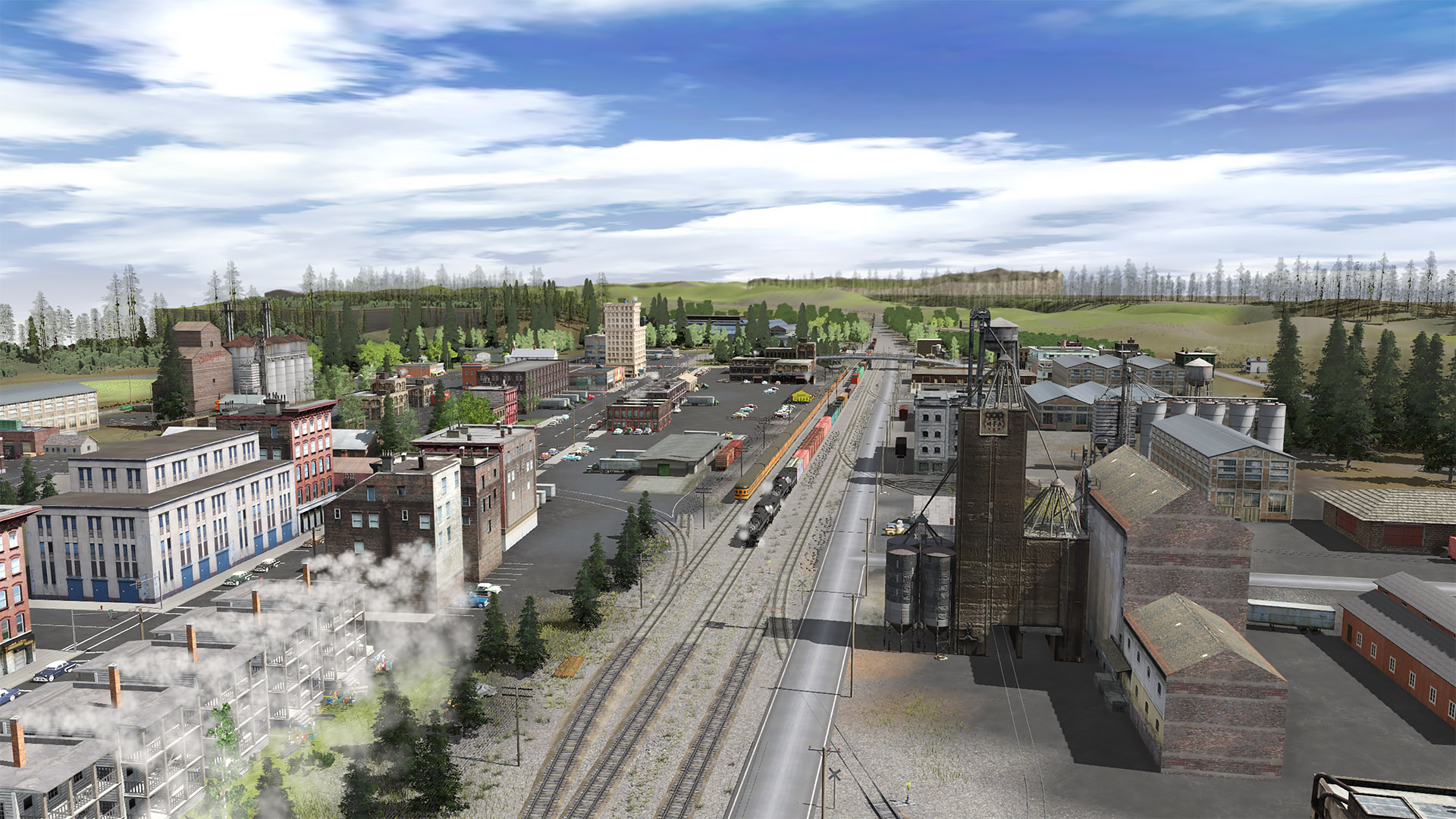
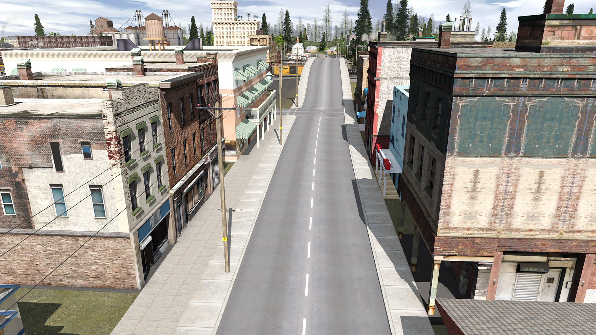
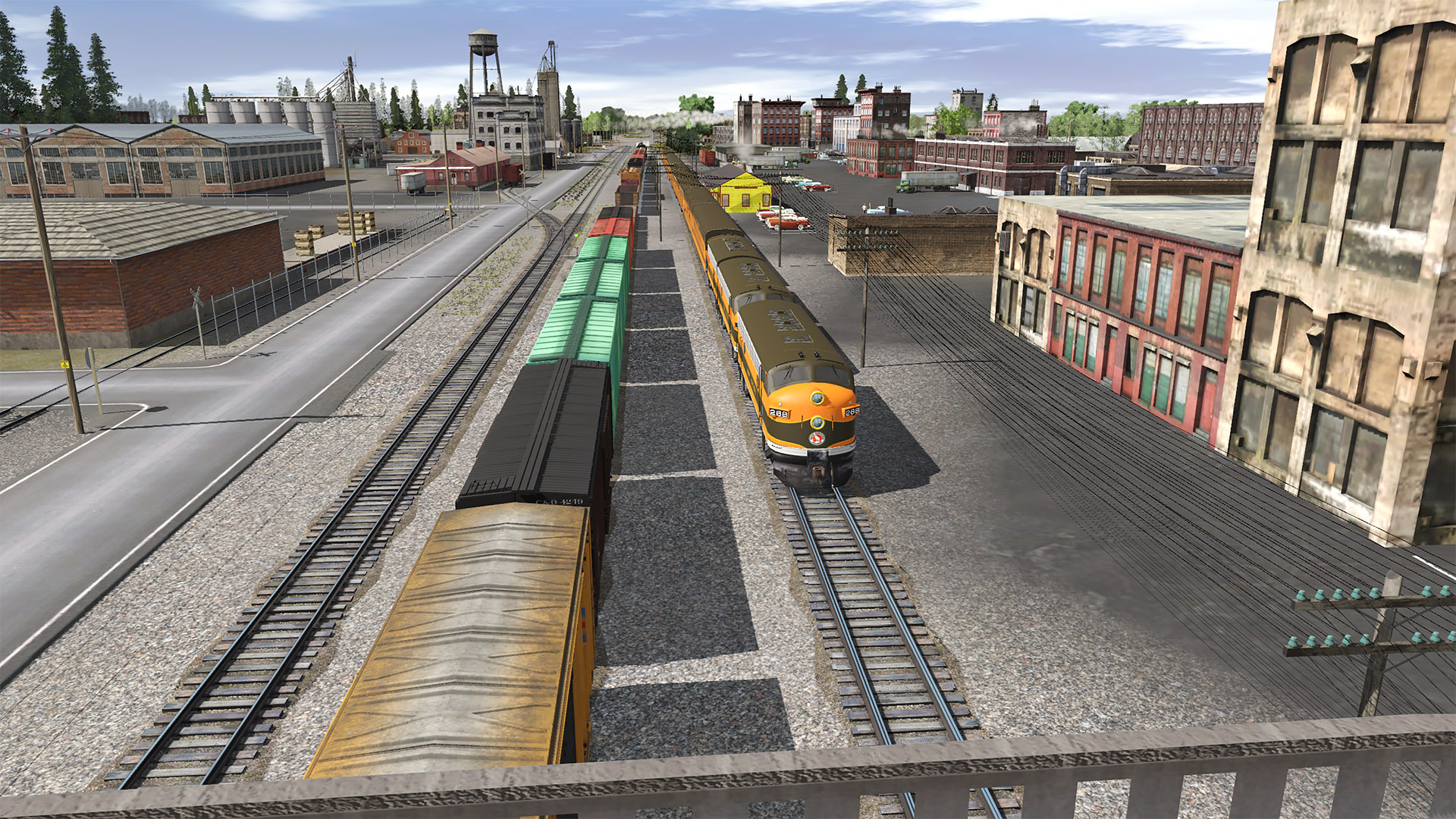
A birdie with a camera took this downward view of central part of town...
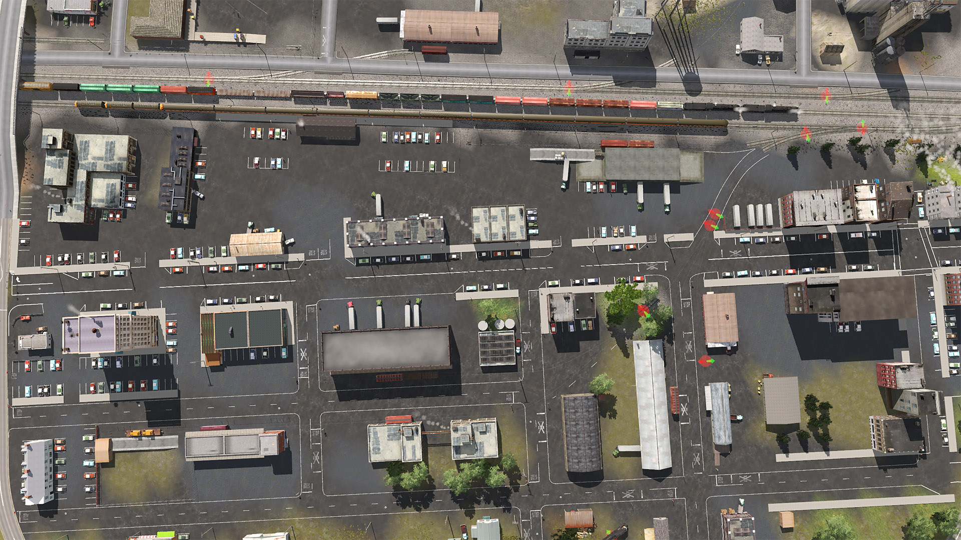
There is a bridge carrying road traffic over the tracks because of the high train volume moving through town.
I was watching some of Approach Medium's YouTube videos (especially the Esopagus & Dry Brook series to get ideas (as I'm still rather new to TRAINZ). He was experimenting with painting the ground with asphalt textures then adding sidewalks and lane markings (etc) to them. I've been experimenting with this technique in Browning and now Junction City. It really helps with the texturing if the tracks and streets are laid out on the grid axis. That wasn't the case here in Junction City so I rotated a grid to be more aligned to the tracks (I couldn't get it perfect - I can't figure out how to rotate textures with finer control...). Doing streets that way is a lot of work, but they come out really well (at least I think so).
These scenes are all TRS19.
More screen shots in the next post...
HF
The Junction City area is getting close to being finished up. So I thought I would share some screen shots with y'all...
First a map of the BCSJ route with the Junction City area hilighted.
The BC&SJ is a fictional route crossing the Oregon Cascades in the early 1950s... (mostly)
Trains start at the flat lands end of things in Salem then progress though flat terrain, some hilly areas and after passing Bear Creek head up into the mountains.
Junction City is located next to (railroad west of) Bear Creek. Most towns on the BC&SJ are aggie centric. Junction City is more industrial with a number of factories.
Here's the west end of town
And another aerial view from the West end of town...
Here's an aerial view taken from the East end of Junction City...
A birdie with a camera took this downward view of central part of town...
There is a bridge carrying road traffic over the tracks because of the high train volume moving through town.
I was watching some of Approach Medium's YouTube videos (especially the Esopagus & Dry Brook series to get ideas (as I'm still rather new to TRAINZ). He was experimenting with painting the ground with asphalt textures then adding sidewalks and lane markings (etc) to them. I've been experimenting with this technique in Browning and now Junction City. It really helps with the texturing if the tracks and streets are laid out on the grid axis. That wasn't the case here in Junction City so I rotated a grid to be more aligned to the tracks (I couldn't get it perfect - I can't figure out how to rotate textures with finer control...). Doing streets that way is a lot of work, but they come out really well (at least I think so).
These scenes are all TRS19.
More screen shots in the next post...
HF
 Your route looks spectacular.....You didn't mention, but I was wondering if you plan on listing this one in the DSL?