Bernard430
Qualified Witchdoctor
All messages about my new route:
Right, Louise. Thanks for that, I didn't notice that with the platforms. And I think i'll replace that crossing with an iverhead one, otherwise Mrs Cotton and Mrs Blunt would get very hurt!:hehe:
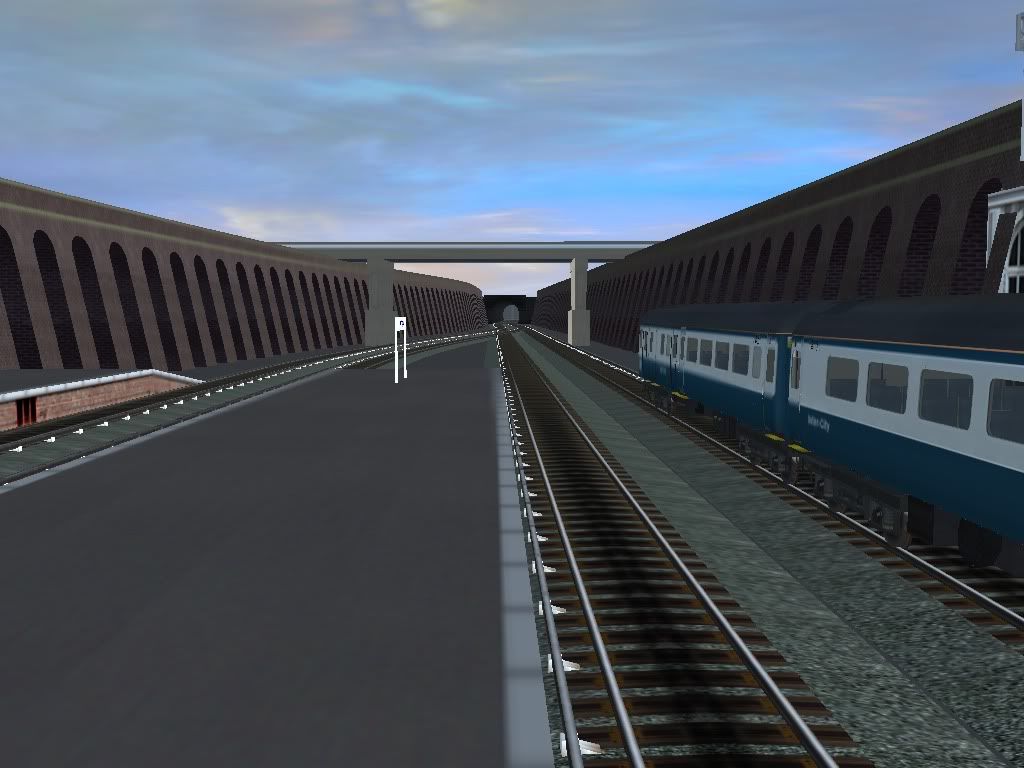
WEN, did you mean the 6th Photo? Because if you did, the platform gap isn't actually that big, it's just the picture is taken at a slight angle. I will show it later on today.
And Kimmy, I am looking at that link right now!
Thanks for all the help!
Cheers,
Bernard
Right, Louise. Thanks for that, I didn't notice that with the platforms. And I think i'll replace that crossing with an iverhead one, otherwise Mrs Cotton and Mrs Blunt would get very hurt!:hehe:
WEN, did you mean the 6th Photo? Because if you did, the platform gap isn't actually that big, it's just the picture is taken at a slight angle. I will show it later on today.
And Kimmy, I am looking at that link right now!
Thanks for all the help!
Cheers,
Bernard
")


 . Angelah, I really think your work is excellent, and if you do read this, come back please. I would love to see some of your work back on the forum.