Swanage Railway
@Nij
@robd
Thanks for the encouraging remarks.
When I posted my original shots in this thread I’d done just 4 x1km basemaps around Corfe Castle and very little had been finished.
I’d raised the terrain around the station, including the castle, part of East Hill and West Hill using invisible tracks. I laid them over the contour lines of an OS map and smoothed off the “steps” by hand in alternative wireframe mode, raising and lowering the triangular vertices until it looked right. Tedious!
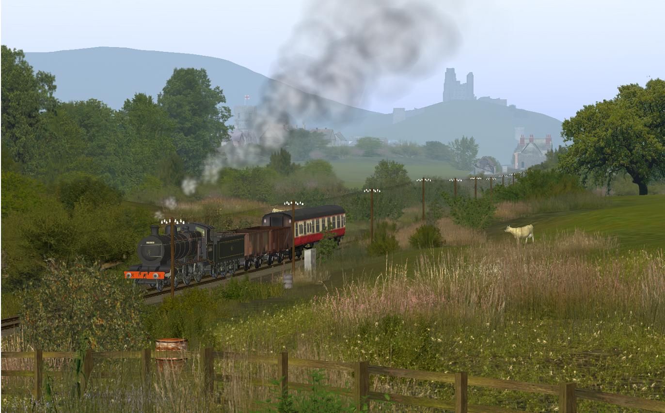
The roads and tracks are laid correctly, as are the key features such as the church and castle ruins. None of the building assets are prototypical though. They are all DLS or 3[SUP]rd[/SUP] party “best match” items. I’ve not yet managed to get my gmax stuff into Trainz, so have given up creating assets other than a few skies and reskins, otherwise I’d have had a go at making the castle, local church, pubs and a few other landmarks.
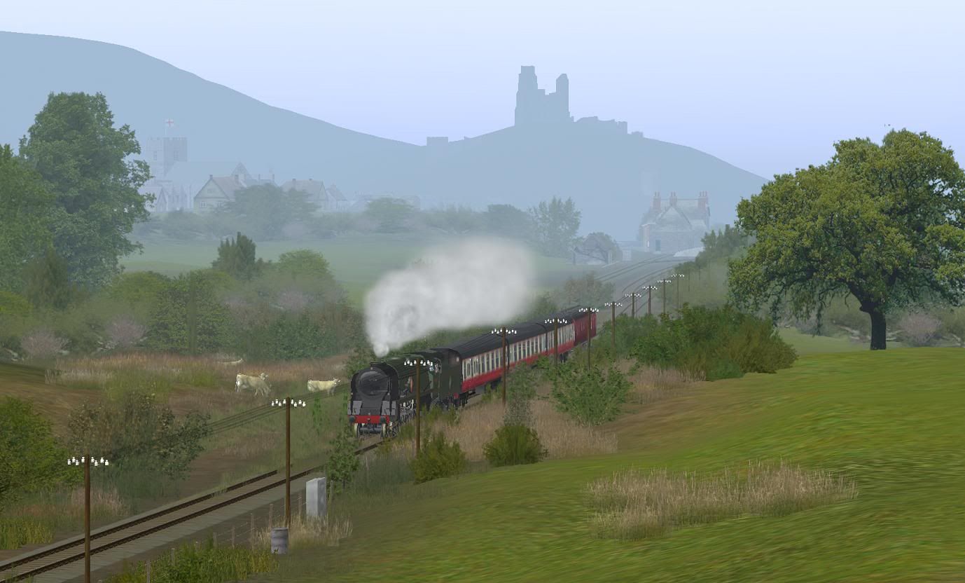
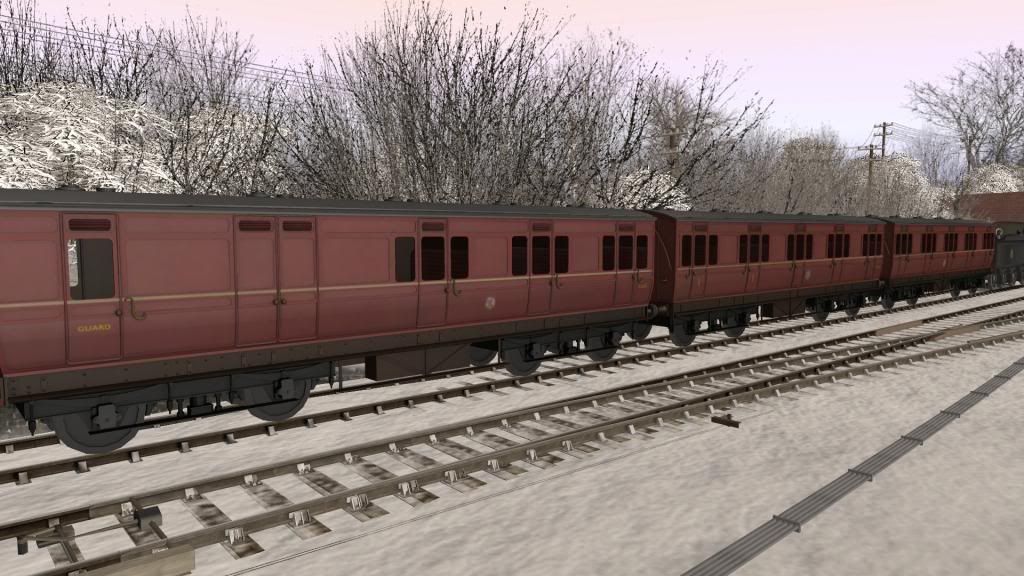
Here are a few shots of the current extent of the route around Corfe. You’ll see that the contour gaps have not yet been filled in and the texturing is very incomplete. I started by seeing if I could create a believable scene, so got quite detailed in the key area I was trying to replicate. I usually do this with most of my routes by way of incentive. It also gives me a good range of suitable ground textures and some favourite splines and foliage objects which I can then grab and re-use throughout the route as it is extended without having to remember them; it also tends to keep the routes “vegetatively” consistent and relatively stutter free.
The last image is from a bit of temporary track where I’ve placed an airborne loco to get a long range cab view of one of the classic Purbeck views of Corfe. The castle, in that view, is just over 1.6 miles scale distant as the crow flies. There’s a similar (lower and closer view, not shown) from the Scott Arms pub gardens where you can also see the steam trains in the distance.
It was when I saw the amount of terrain left to create that I stopped for a pint, and hadn't been back to creating that route since!
There’s a lot to be done to get down to Swanage and up to the Network Rail link and Wareham. The only station I’ve done is Corfe Castle. I’ve not even got as far as Norden or Harman’s Cross.
In all honesty it would probably be best to start over using a DEM of the area. Raising the whole lot by hand is going to be a vast undertaking, but I don’t have the heart to smash it up and start all over again!
I’ll probably do a bit more, the hard way, every so often.
Update:
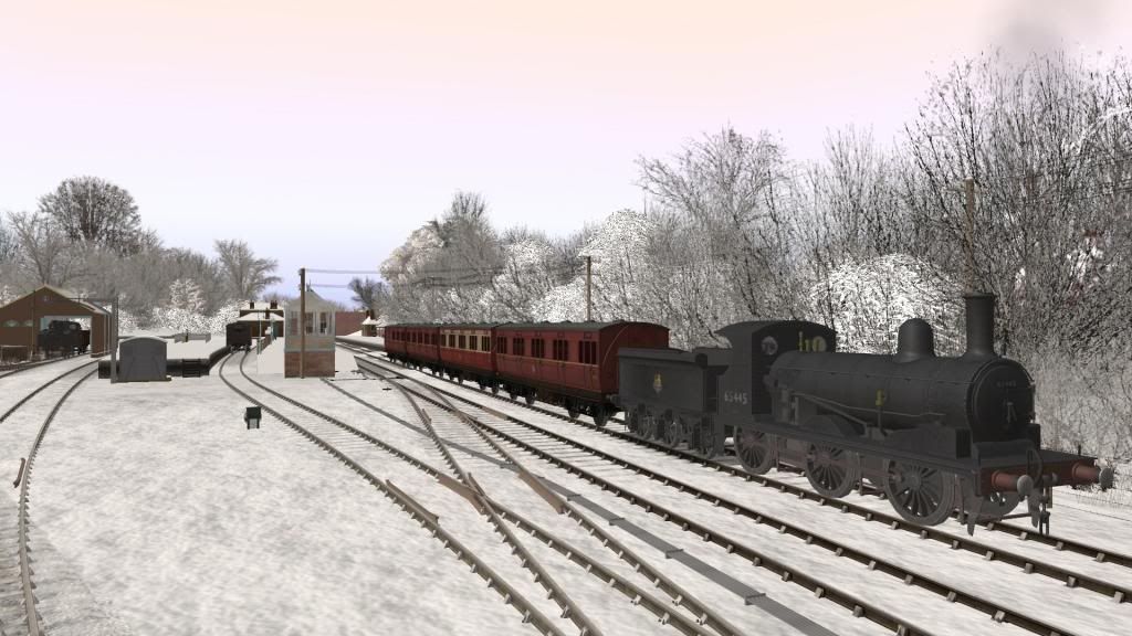
I have now completed nineteen 1km (2048x2048) square Basemaps which cover the whole areas from Wareham through Worgret Junction and down to Swanage beach, just beyond the terminus station.
The Surveyor baseboards have been extended and all of the GE Basemaps are in place.
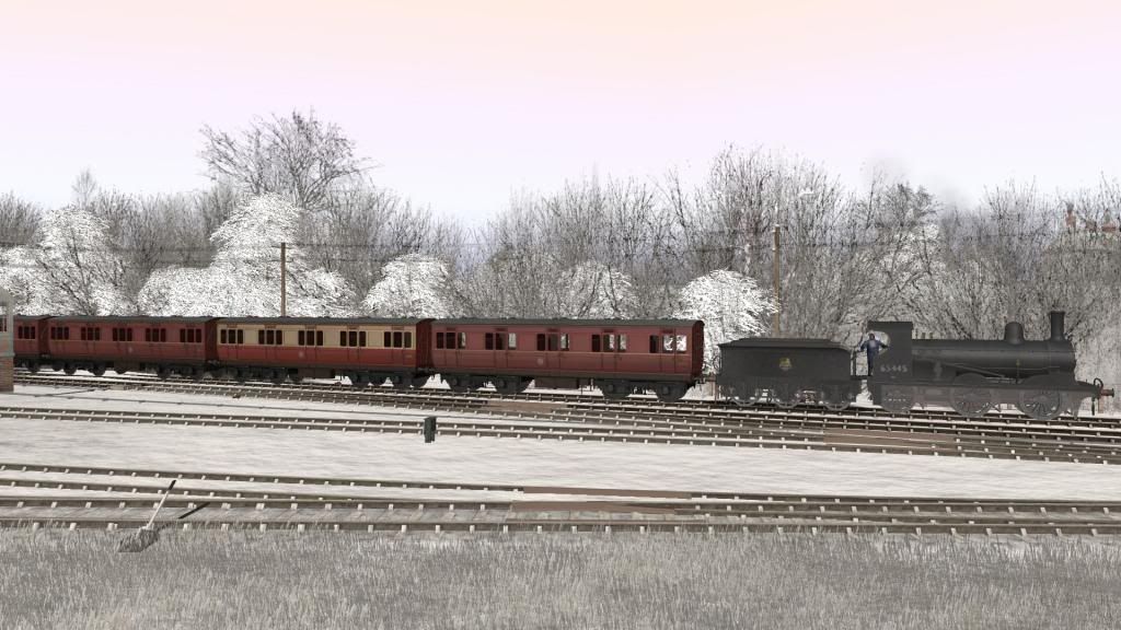
I’ve also accurately laid the track (laterally) over the whole area, except for some sidings, and now need to raise it, and the landscape, to the correct levels. I’ve noted the GE heights at various points of the track. Although these reflect the rough height of the surrounding terrain they aren't accurate for the rail bed. I guess that the height of some of the open level crossings might show a more accurate track height on GE than the embankments or cuttings. I’ll need to source the gradient profiles and find some reliable spot heights to get better accuracy.
I'm also using YouTube 'Drivers View' videos of the line to check out the whole route and should be able to construct some of it “by eye”.
Time for another break I think!