Tri-State Railroads: Phase I - The Port Jervis Line

trainzpro

New member
Tri-State Railroads: Phase I - The Port Jervis Line (Screenies approx. 1024x768)

Hello everyone. I'm kinda new to the forums (although I've been "Trainzing" for about 6 years now). Anyways, I am a big fan of the railroads from around the tri-state region, which includes lines such as Amtrak's Northeast Corridor, as well as commuter lines run by New Jersey Transit and the MTA in New York and parts of Connecticut. Just so I don't bite off more than I can chew, I'm doing the project in phases. Obviously, it's going to take a good amount of time to actually complete. This portion of the project that I'm currently working on is the Port Jervis Line run by both the MTA Metro-North RR and NJT. I started here because I would always admire the beautiful fall foliage while my family and I rode along it every year during the season. Most of the scenery (roads, buildings, trees, etc.) will be default/DLS content. However, the stations will be modeled in Blender after their real life counterparts. But enough of that. Onto some shots:

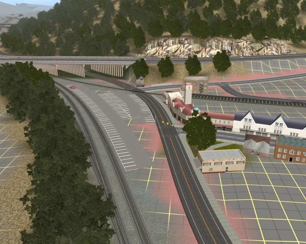
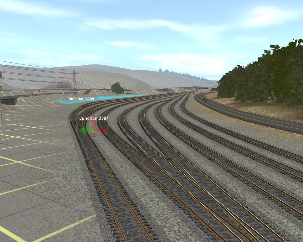
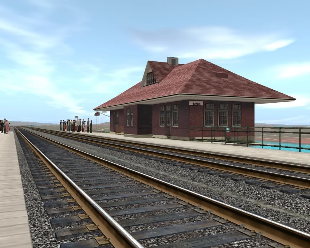
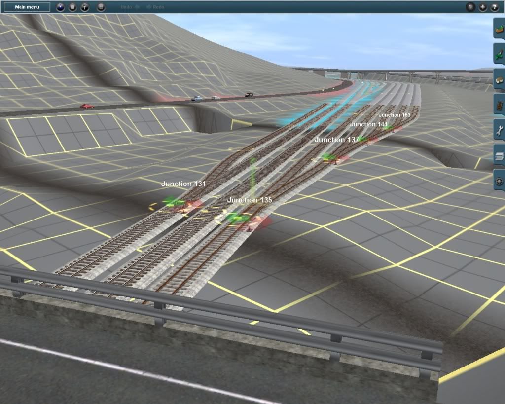
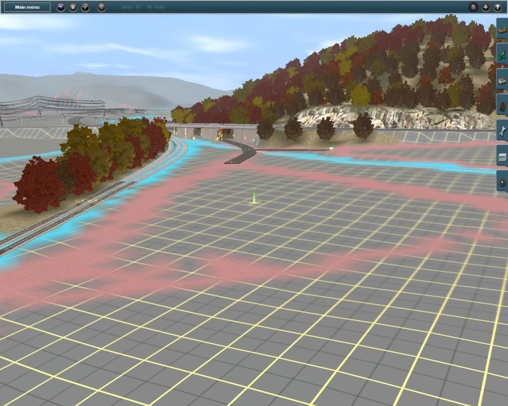
This is the southern end of the yard in Suffern, NY. Due to the terrain merge, however, it's about 1,000 feet shorter than in real life. In the background is the I-87/287 interchange. Just south of this would be Suffern station that I'm currently modeling.
pjl1.jpg


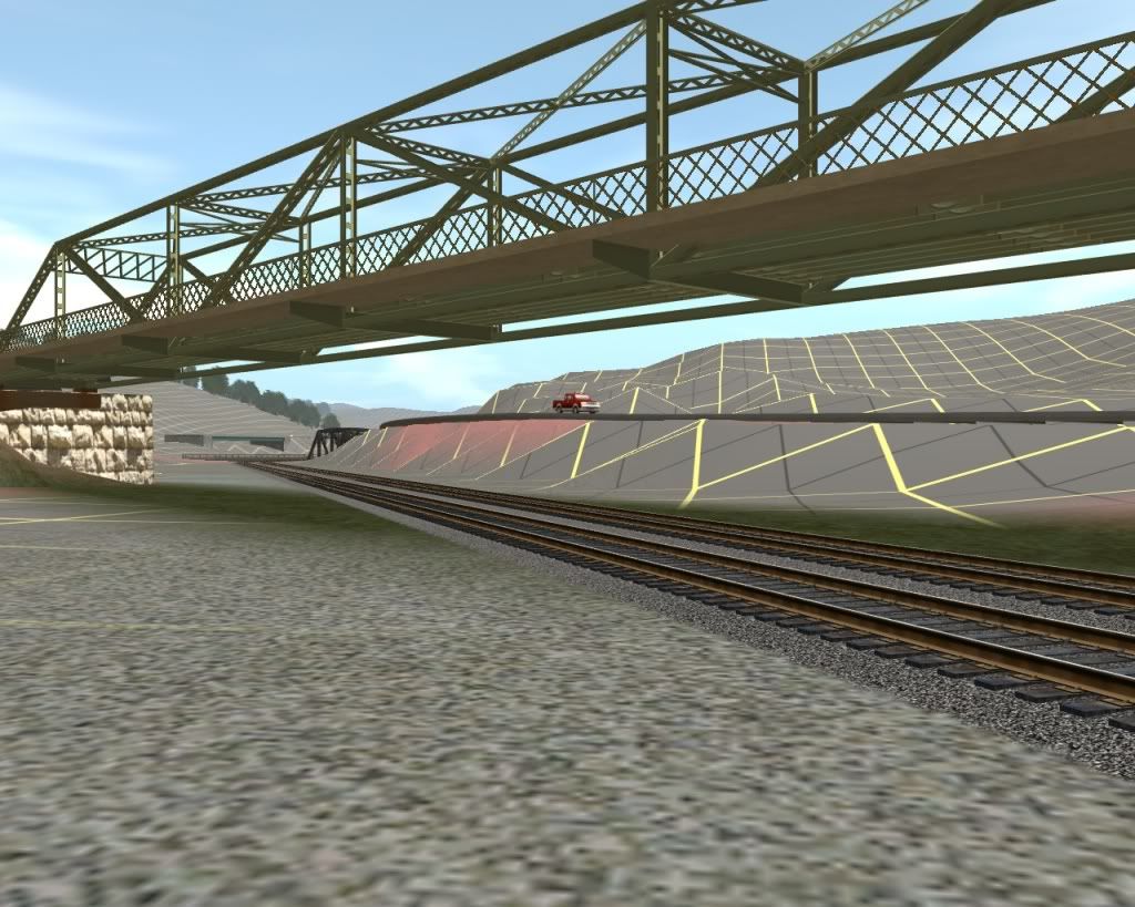
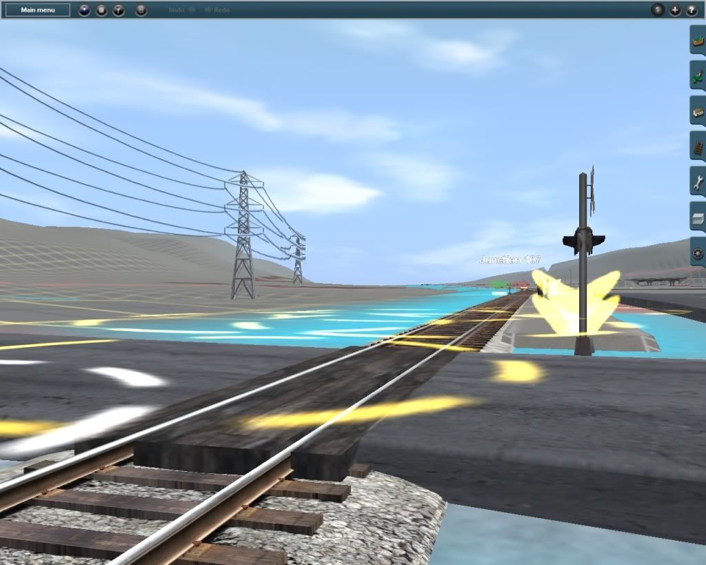
Looking north through the yard...
pjl2.jpg


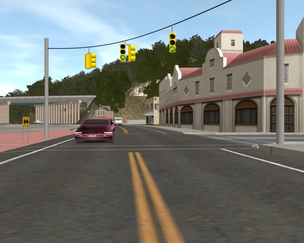
Looking south from 4th St...
pjl3.jpg


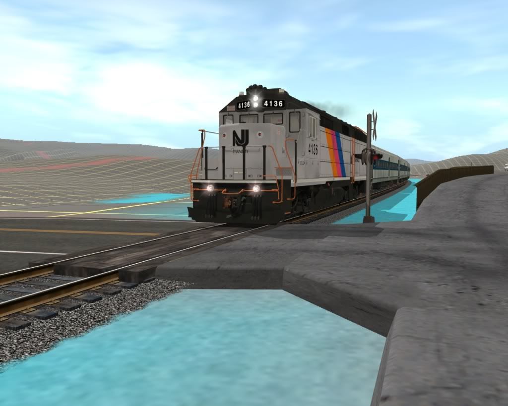
Crossing at Sloatsburg station (this and Tuxedo stations are DLS content and are acting as temporary placeholders).
pjl4.jpg


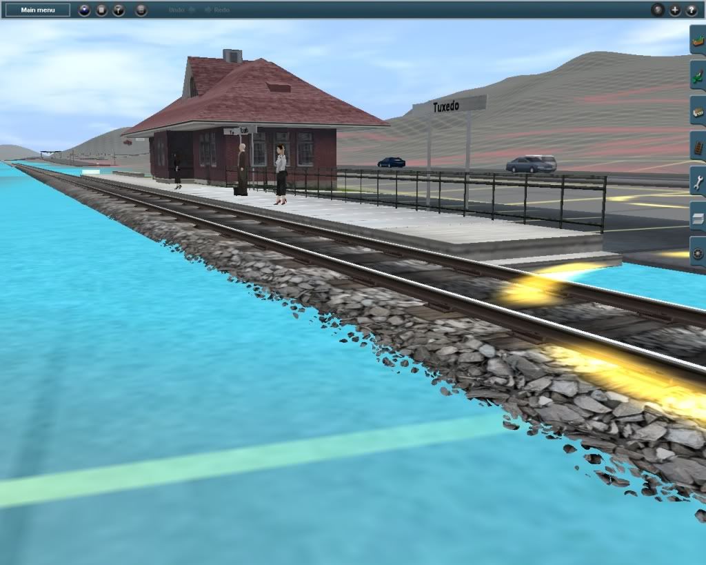
...and Tuxedo. Currently, only about 3 miles of track are laid north of here.
pjl5.jpg
 
Last edited:
Sweet deal. Keep us updated! This is a fascinating area to me as well, and one in which I am very familiar with. I drive past this yard on I-87 all the time, and you're doing a great job at recreating it!

-Joe
 
Same area...now with some trees and textures.
pjl6.jpg


Those same trees in the fall (don't that foliage just make you wanna drool?)
pjl7.jpg
 
Last edited:
Thanks. To be honest, I really don't think that this is too bad for being my first prototypical route project (ones that I did in the past were always fantasy routes :p
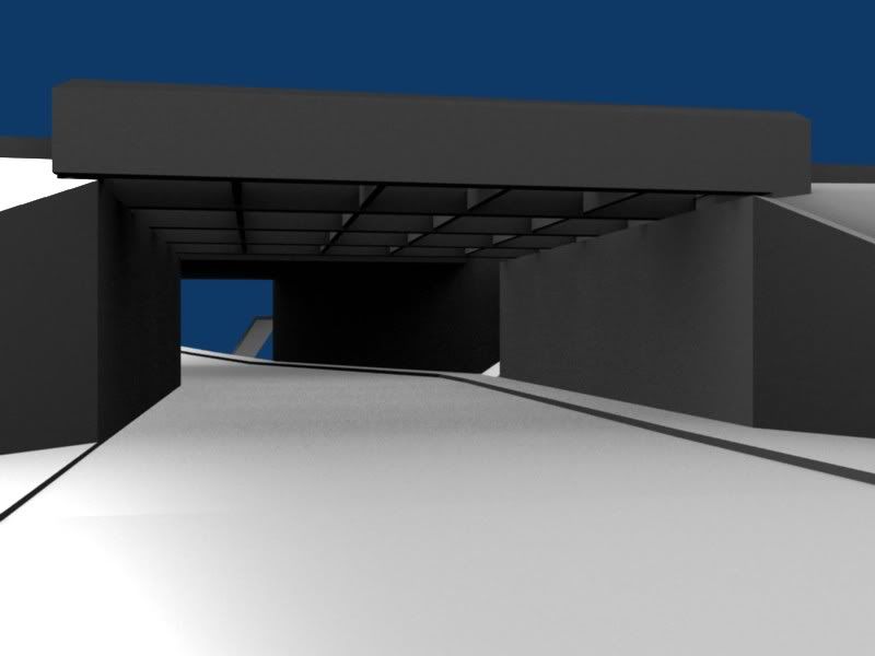
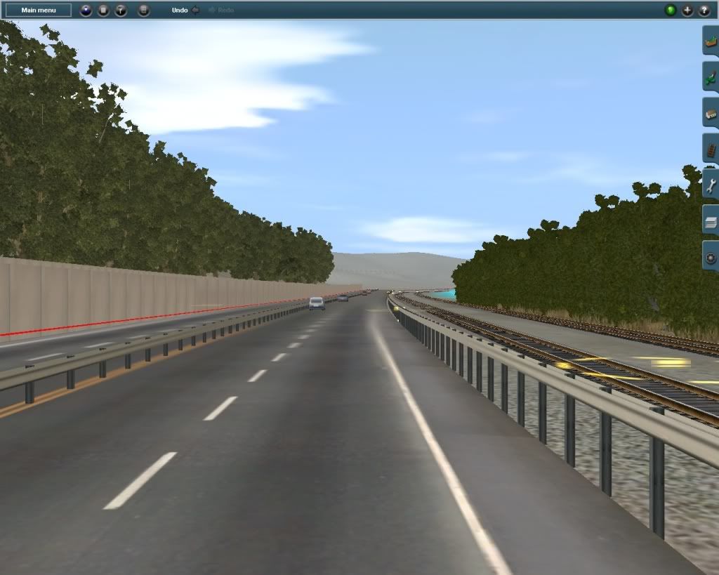
). Here's what I mean...
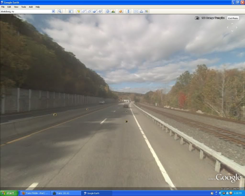
Here's a shot up Orange Turnpike, just outside of Sloatsburg in Google Street maps...
pjl8.jpg


...and here's that same shot in Trainz in almost the exact same spot!
pjl9.jpg
 
Last edited:
@acbdfaqoz: Thanks, but I probably won't be needing any testers for a while.

Suffern Station WIP. Been doing this for about a week now...
pjl10.jpg


Chestnut Street underpass...
pjl11.jpg
 
Some more WIP screens...;)

Finally, a shot without the annoying menu bar/tabs or the surveyor markers ('cuz it was taken in "driver", of course). Though not much, I kinda like how the electrical wire comes from behind the hillside over the highway. Part of the route is also visible in the background.
pjl12.jpg


Working on Suffern town center...
pjl13.jpg


Same area, but at street level...
pjl14.jpg


Suffern yard again, but with different track style. The other one looked a little bit too light and it also blends in better with the ballast texture.
pjl15.jpg


Underneath the Orange Turnpike trestle about half a mile north of the yard...
pjl16.jpg


...and finally, one of my favorite "virtual" railfanning spots. The crossing at Washington Avenue, north of Sloatsburg station.
pjl17.jpg


Yes, it's appropriate because since this, along with the Pascack Valley line, are operated by both Metro-North and NJT, it is very common to see equipment from both railroads on the same train.
 
Last edited:
Great work! Is it possible to have a version minus speedtrees? Just for those who are running in 09, have bad framerates, or just plain prefer other trees?
 
Great work! Is it possible to have a version minus speedtrees? Just for those who are running in 09, have bad framerates, or just plain prefer other trees?

Ah man, you're spoiling the surprise! JK.:p As a matter of fact, once the route is finished, I will make a low-poly version of the route. It'll have pretty much the same stuff, but with lower poly track work (perhaps the "MP" style tracks would do), and yes, without the speed trees.
 
Ah man, you're spoiling the surprise! JK.:p As a matter of fact, once the route is finished, I will make a low-poly version of the route. It'll have pretty much the same stuff, but with lower poly track work (perhaps the "MP" style tracks would do), and yes, without the speed trees.

Sounds great! By the way, could you also make a medium version as well? Maybe keep everything in place, but just replace the SpeedTrees. If it's too much work then forget about it, but it'll be a great thing to do! I wouldn't worry too much about the separate versions until you finish the original, but progress is looking amazing!
 
Temporary Suffern Station...
pjl18.jpg


Es muy caliente! JK. But I am working my way "south of the border"...the NY/NJ border that is.:p No, that sign's not there in real life. It's just there for reference.
pjl19.jpg


Eventually, line will terminate at the Hoboken Terminal on the southern end, and obviously at Port Jervis on the north end.
 
Last edited:
Very nicely done. I wish I had trainz dem. I am in the process of also building the Metro North Railroad. It has been on going for about 5 months now. I have built Grand Central terminal- Yankee stadium and 153rd street. Somebody that I know sent me his version from Grand Central - Croton Harmon. It will consist of the Hudson, Harlem, and New Haven lines. Some of the CSX river line. danbury branch, waterbury branch, new canaan branch, and some of the NEC from penn station until it merges with the New Haven line and the amtrak empire connection. I hope to complete all of NYC with all the scenery and trackwork in under 4 months and then move to the suburbs and Connecticut. My other projects after this major project is the NYC subway, Shoreline east, LIRR, and the Port Jervis and the spring valley lines.
 
Good job with this route so far! Always looking for new NJT/Metro-North routes from around the way.

I don't mean to derail a perfectly good development thread, but what's the name of those roads you're using?(In and around Suffern)
 
Good job with this route so far! Always looking for new NJT/Metro-North routes from around the way.

I don't mean to derail a perfectly good development thread, but what's the name of those roads you're using?(In and around Suffern)

Those are YARN roads. It stands for 'Yet Another Road Network', which are made by Maddy25. Just search for 'yarn' on the DLS and they should be the first things that show up.;)
 
Back
Top