There are some more suggestions I think I can make for you that will help.
One of the biggest, and most helpful, things you can do is come up with a backstory. You need a purpose for your railroad. Is it a switching line that has a connection to a major Class I system? Is it a subdivision of another railroad, or perhaps a subsidiary where you can run your own custom-paint jobs with another big company's equipment along side? I find that if I combine history with my imagination I can come up with a decent purpose for my railroad system. This may require a little bit of research, particularly if the line has been abandoned. You could start something like this:
The Great Flats and Northwestern was once a portion of the now abandoned CNW's Cowboy Line located in Nebraska. In 2009 a group of businessmen purchased the ROW from the state of Nebraska, and rebuilt the portion from Valentine and Chadron where the line connects with the BNSF... and so on. I happened to research this area a couple of months ago while traveling out that way. I was curious about the long rail trail that was following the highway. Even though the line is abandoned, the ROW has been purchased by the state to preserve it for future rail use which I found out when I researched it. Using a bit of imagination, this could easily come back to life as a rail line once again. I found that it helps too if you read railroad history articles. This will give you ideas for history that you can expand on. For my big never to be published route that I've been working on for nearly a decade, I settled on New England and a representation of the operations around there. However, in my route history the company took over the present operations from Pan Am Railways, and has become a regional railroad that operates various wholly-owned subsidiaries. As I've built each section, I've come up with a history behind the line represented. Look up Sandy Point and or the Enfield and Eastern for an example.
Another thing that's helpful, and has already been mentioned, is to modify someone else's route. This will not only give you an idea on how to texture and place buildings, but also give you something to start with. I've done this many times, and in many cases, the "merger and acquisition" process, along with my own building, becomes a complete project in its self. When routes are merged together, they usually require 'tween' boards to connect them together because of changes in terrain. With Trainz there is no way to raise or lower the terrain, or rotate a route once a route is built. So to connect sections together, you build some in between baseboards to allow changes in grade and sometimes direction. When building the 'tween' baseboards, match the texturing and objects used by the other builders. It helps if you're using routes by a single author as that helps to keep the textures consistent, but you can blend textures and even use scenery breaks such as big hills, and tunnels to keep things from being too obvious. Right now I merged multiple routes into a combination of mountains, valleys, and large rural agricultural land using a combination of MSG Sapper's redone routes such as the Clinchfield to represent the mountains, Dave Snow's Ozark Valley, and Midwest Grain from Jointed Rail. The complete route is about 300 miles end to end with about 10 miles of my own work in between to patch them. As you travel from one route to another, you'll never notice the transitions. It helps that I replaced the ballast textures and track with a single kind and I used the same grass, grass splines, and trees through out as well.
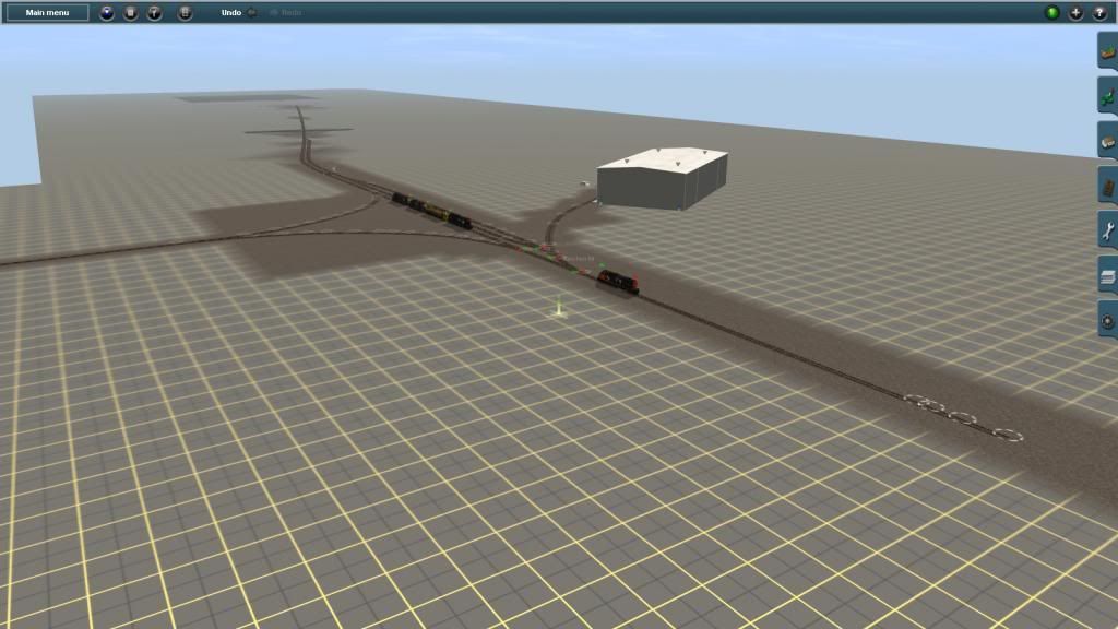
What kinds of industries does your railroad service? Remember the purpose. Does the railroad take care of granaries and other agricultural stuff, or is it for moving goods to big factories in the rust belt, or perhaps a little in between? I happen to like a combination of through freights, for the AI to drive, along with local switching and industries. Throw in a commuter trail or two, or three, and you have quite a busy operation, particularly as you try to keep the switchers out of the way of everyone else.
What about the terrain? Look at maps, invest in TransDEM if you want realistic terrain. This latter item will have a whole new meaning and even a whole new ball of string to untangle as you build and is a subject all of it's own. Does your railroad run through mountainous terrain and then out to the Great Plains? This could open up a whole new world for you as you develop your railroad building techniques.
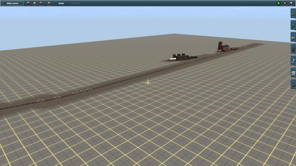
I also suggest looking at maps such as Bing Bird's Eye, Google Earth, and even topographic maps. This will give you ideas on how the rails ran along rivers, the companies built yards, and even how towns are laid out. Sometimes when I've burned out my Trainz building-bug, I'll look at maps and photos. This usually brings on another flurry of activity as I mush ideas together and get that creative urge again. An area doesn't even have to have rail service, but could look like it could. My Sandy Point branch on my big route as well as the Gloucester Terminal route I've been working on. This too was a remake of something else by George Fisher (gfisher) that I turned from a diesel route to a trolley line. He built it as a diesel line that served the local port area. I have since added a larger yard and then expanded the route to two more areas. Eastern Point in Gloucester is my current section, and like the rest of the area, does not have any rail service, but in my route building, I put in trolley (interurban) service with some freight, but mostly frequent trolleys out to Eastern Point. As the trolleys follow the road (Route 127 in real life), they pass by the big Victorian mansions located along the shore. Harbor areas such as Southeast Cove, I've made into small towns with lots of houses and other buildings. Eventually, the trolleys loop at Eastern Point and there's a short branch that runs down to the shoreline to serve the small port. In real life there is nothing but a lighthouse out there and an Coast Guard station.
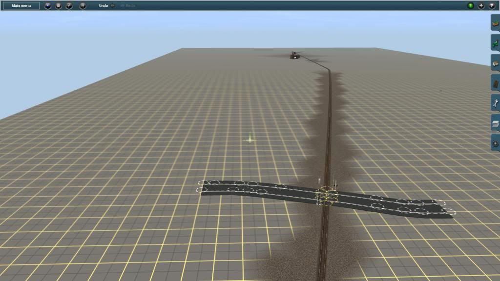
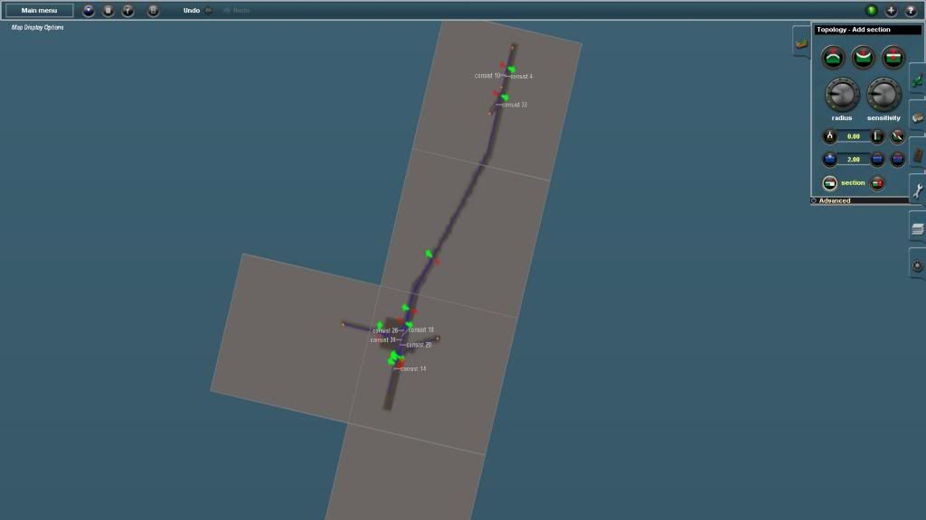
This portion of my route, being a project in its self, took only a few months. I used a combination of digital elevation maps (DEM), photos, and imagination. When placing the tracks, I let it cross over roads where I then put in rail crossings. This made for some more interesting operations. In other places I have bridges where the road runs much lower than the tracks, and other streets and houses running below grade.
Anyway. This should give you something to think about. Feel free to post more questions and we'll gladly assist you.
John


") (by the way, just because I only have TC1&2 registered, I've had varying versions of Trainz all the way back since 2004 so I'm not as novice as I look :hehe
(by the way, just because I only have TC1&2 registered, I've had varying versions of Trainz all the way back since 2004 so I'm not as novice as I look :hehe")


