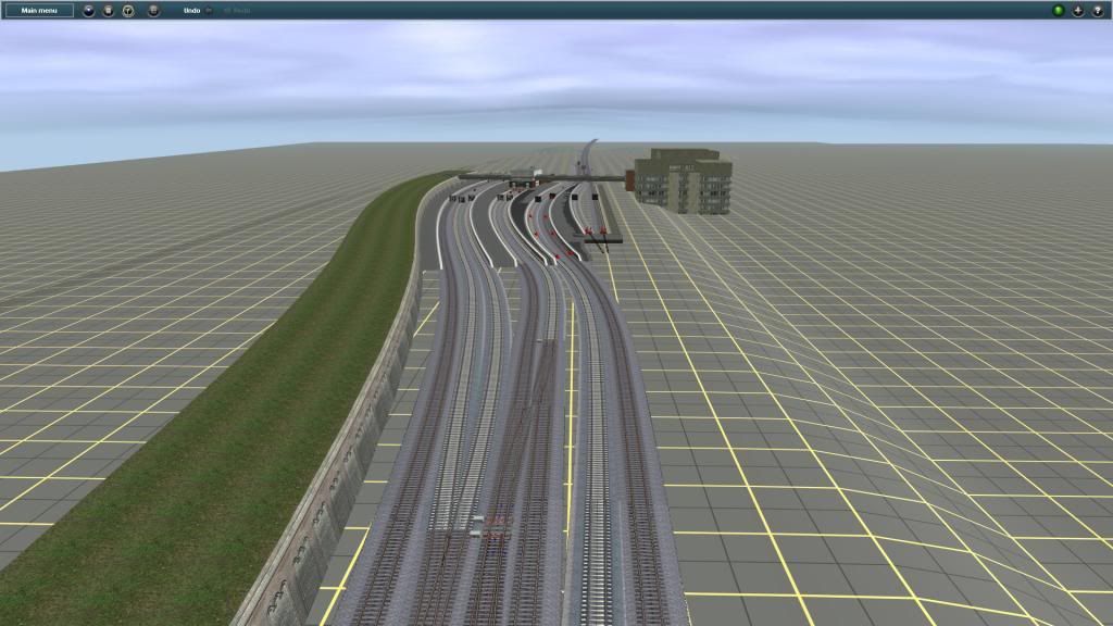
thnx NKP the CSSSB is just east of these pics which the ST CHARLES AIR LINE leads to.,basically the mainlines to 4 of Chicagos original 6 downtown stations...
thnx NKP the CSSSB is just east of these pics which the ST CHARLES AIR LINE leads to.,basically the mainlines to 4 of Chicagos original 6 downtown stations...
correct me if I'm wrong, isn't most of the St Charles A.L. bridge over the Chicago River abandoned in the present day and age (obviously I realize this route is based before CUS (current one) was built)
correct me if I'm wrong, isn't most of the St Charles A.L. bridge over the Chicago River abandoned in the present day and age (obviously I realize this route is based before CUS (current one) was built)
Actually the BOCT side is last I knew.......
Also hope to soon release as a sneak peak beta once I finish up redoing the signals......get a few opinions and updates with scenery....
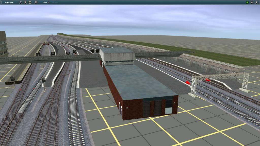
NorfolkSouthern9708: That track is by jmann & is called "Track (Welded Rail)" He also has a jointed type of track, a track type for use on bridges & a few other items to Download on the DLS.
OBTW, if anyone can point me towards some US 1915-1930 (civilian?) biplanes/monoplanes, would be nice. The Tiger Moth looks okay...but it's not in character for the route.