Well, since it seems that for now I am going to be stuck with Trainz Classics, I figured that I needed a good route to run on.
However when I began to look for a good route, I could not find one. Specifically, I was looking for a tourist line, much like Northeastern Fall, but I wanted something bigger, with a few grades so I could climb, and have room to run short freight trains. I looked and looked, and I quickly found the biggest fault with Trainz Classics, that lack of built in content from the older versions of Trainz. I would install routes, but they would be missing most, if not all of the important things like ground textures, many buildings were gone, track, bridges, tunnels, all this could not be found!
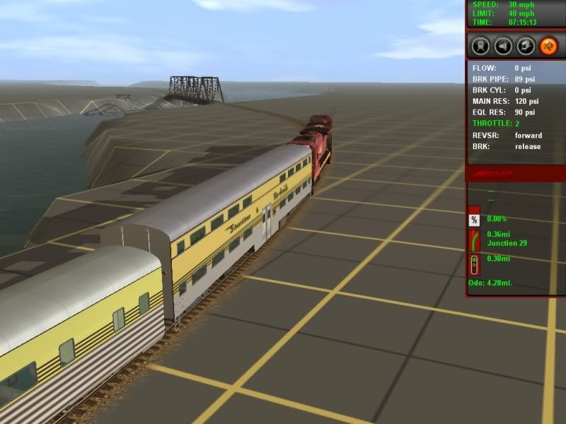
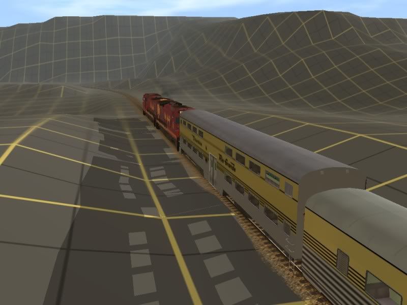
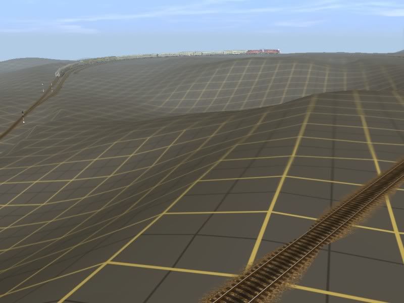
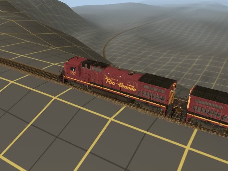
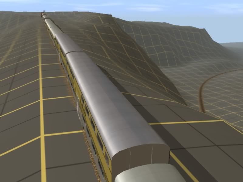
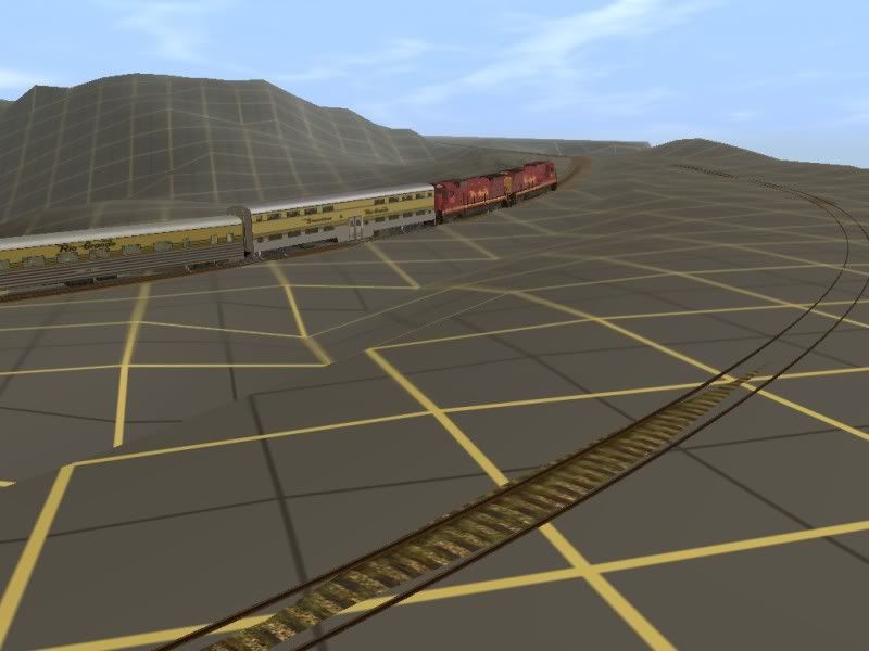
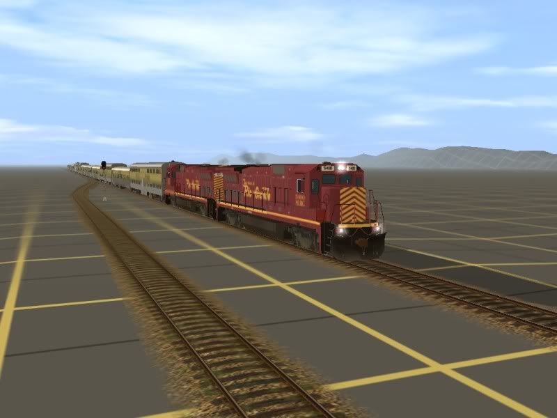
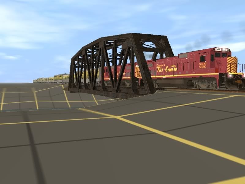
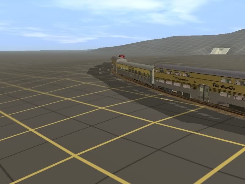
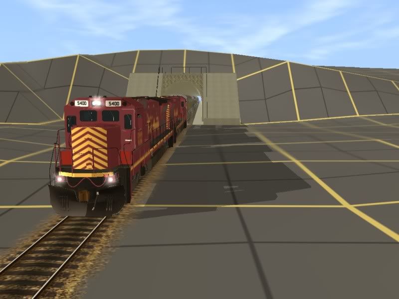
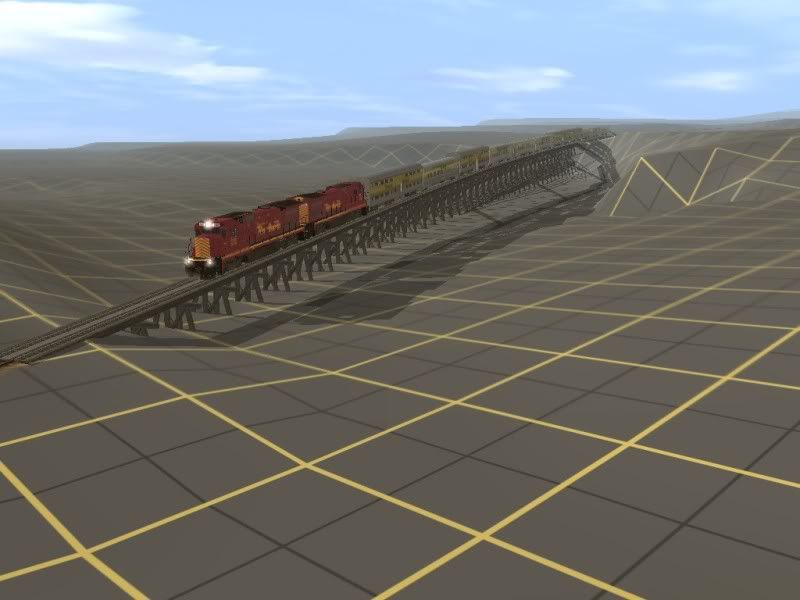
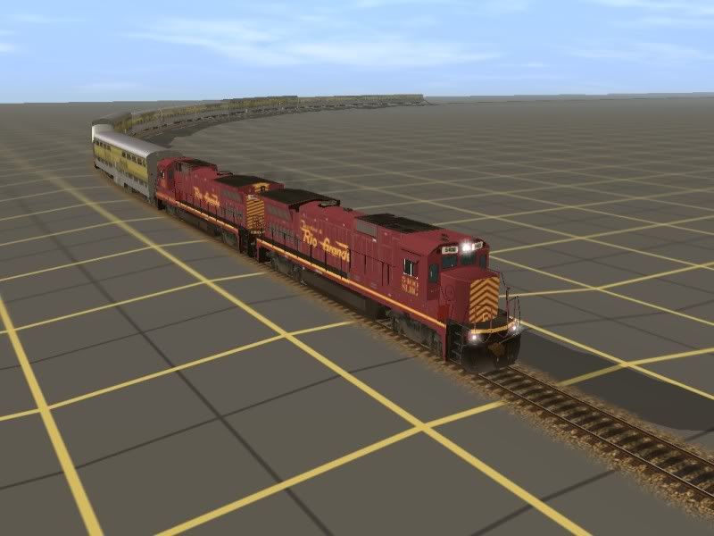
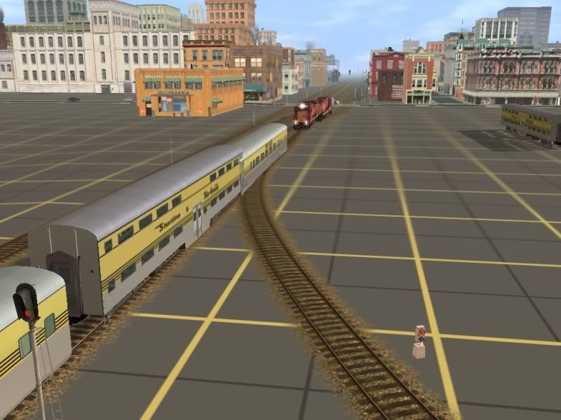
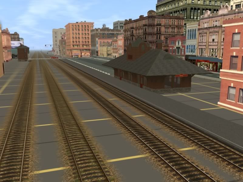
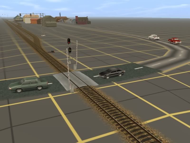
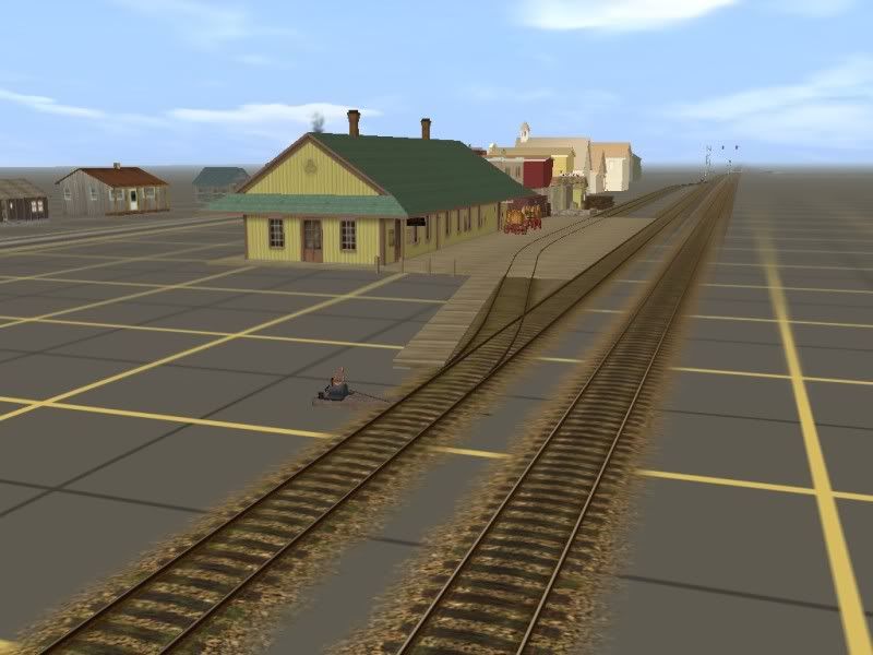
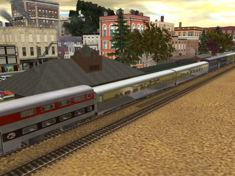
So, I had two choices, I could sit and beg someone to build a proper route, or get my hands dirty and do it myself. So I came up with the Shortline Scenic Railroad. Which eventually turned into the Shortline and Rio Grande Scenic Railroad. Its based off Tennessee Pass, a deactivated freight line running through the rocky mountains. Most of the route is rather flat, but I really fought hard this time to build a proper grade. I was never happy with the short grades found on my Timber Ridge Route, I really wanted a long grade to fight up. So I finally came up with a system that works for me resulting in a nearly 3 mile long, constant 3% grade. and then an even longer, 5 mile long 2% grade on the other side. Its got 3 cities, each rather large, consisting of small and large buildings. And one small western style town at the very end.
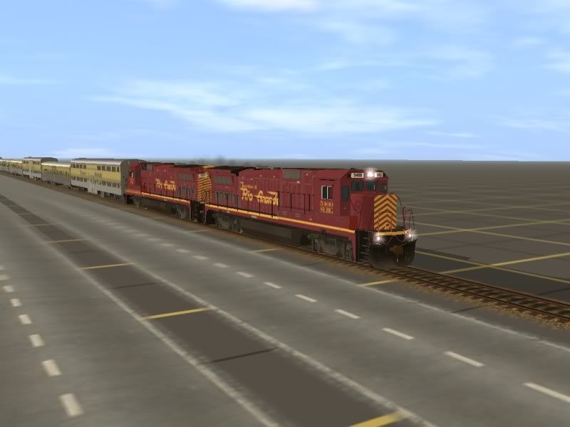
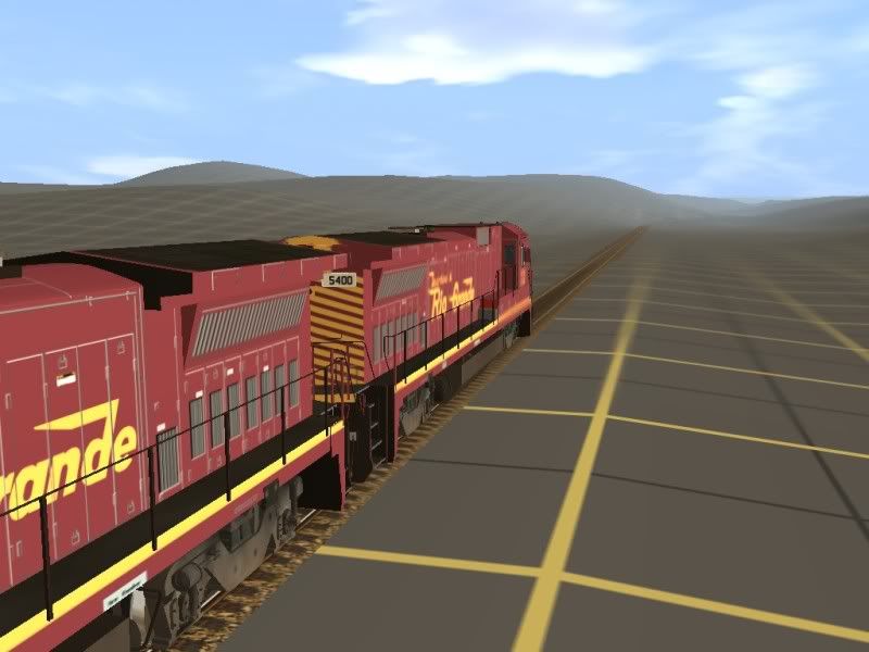
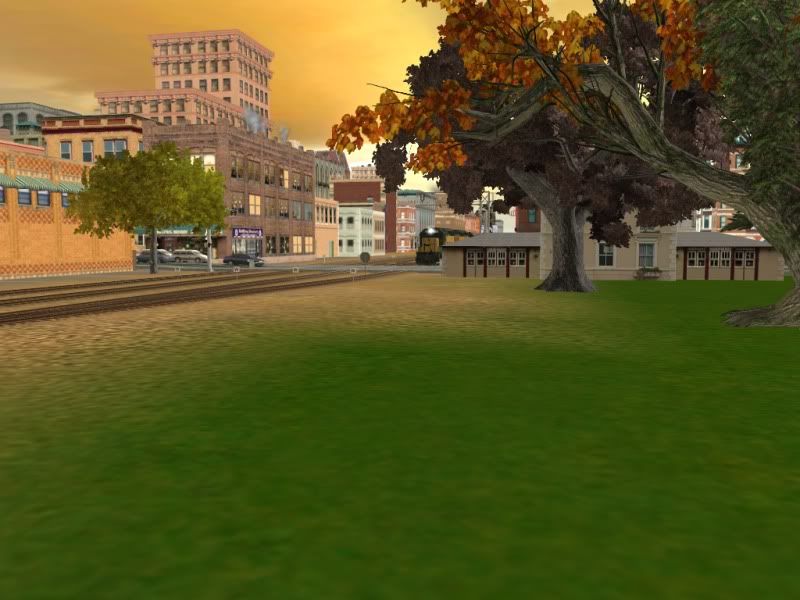
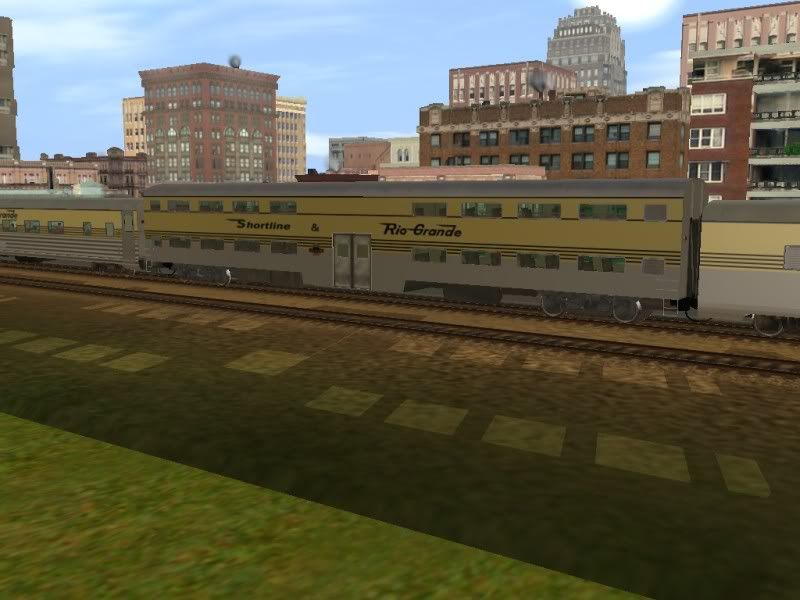
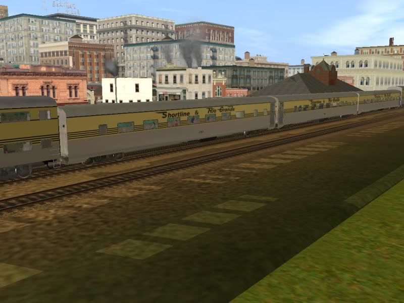
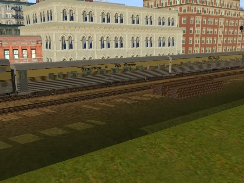
So lets start, starting from the southern end, in the city of Shortline, some shots of today's big achievement, the rolling stock.
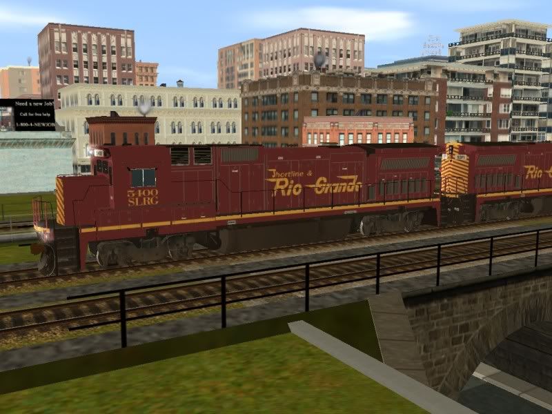
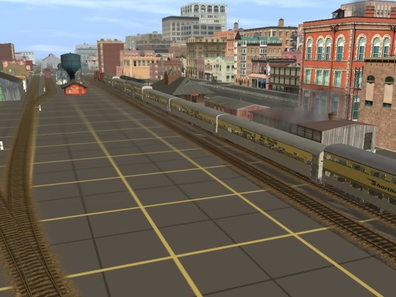
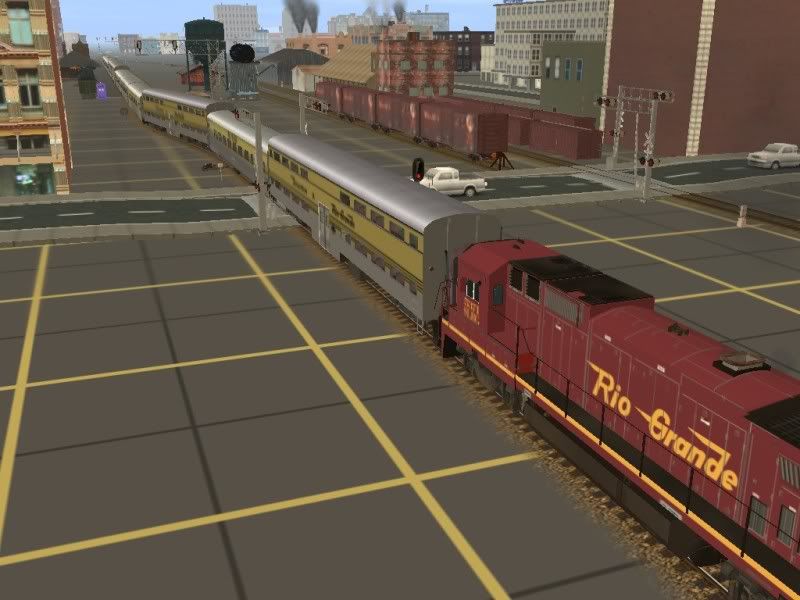
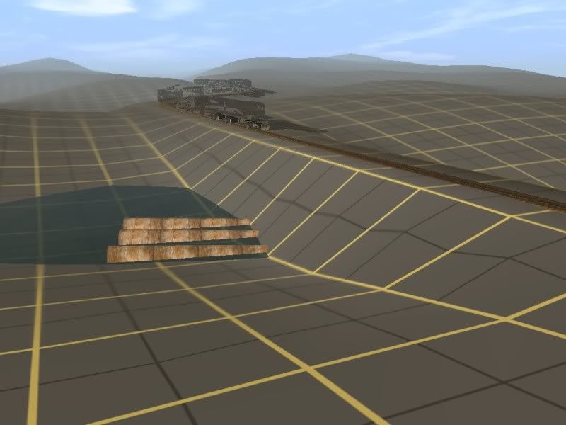
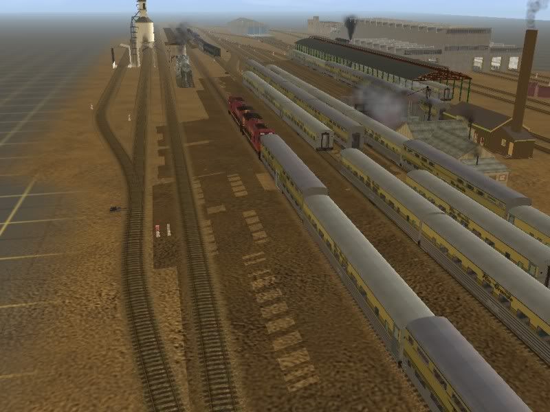
Rolling past the railyards, which contain all the other rolling stock, engines, and a string of cars waiting to be restored and repainted
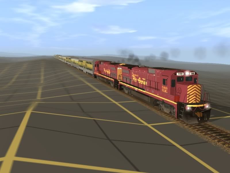
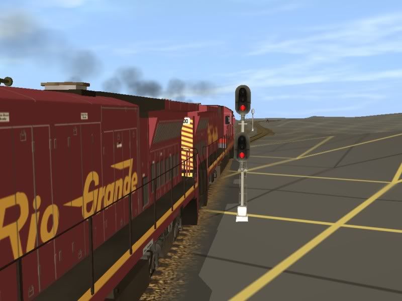
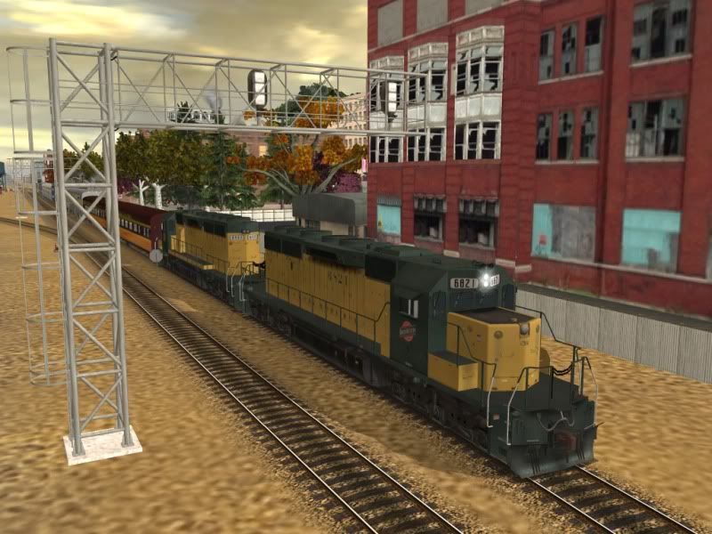
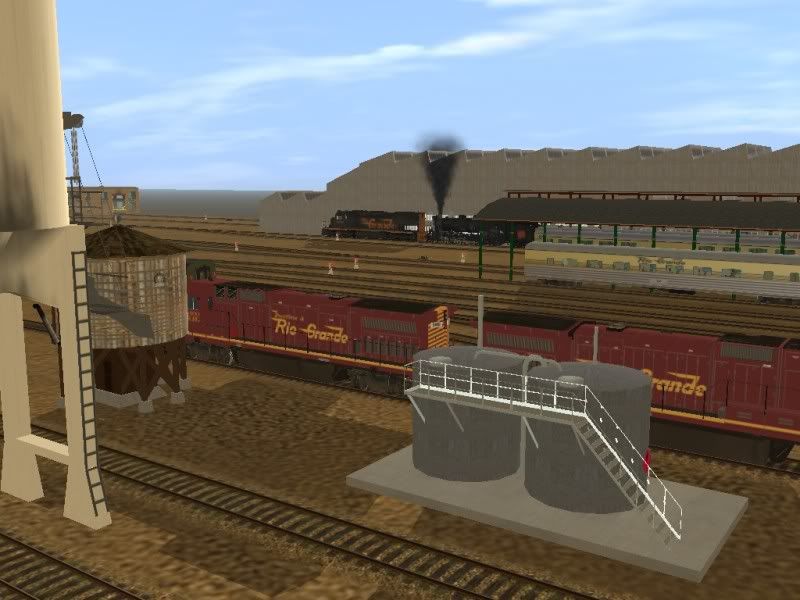
A D&RGW SD40T-2 pulls out Canadian National 3254
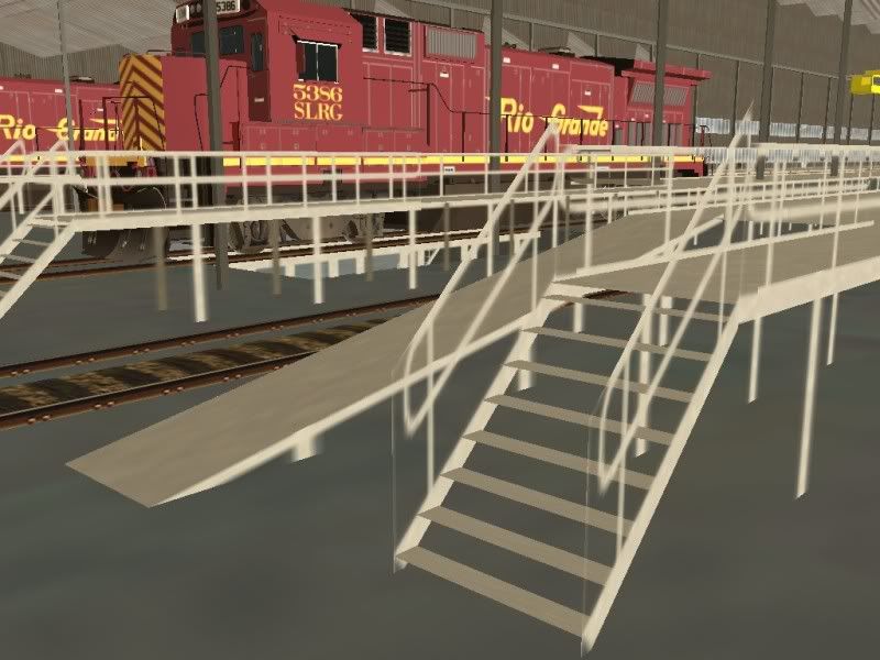
5386 sits over the pit in the diesel shop
More to come!
However when I began to look for a good route, I could not find one. Specifically, I was looking for a tourist line, much like Northeastern Fall, but I wanted something bigger, with a few grades so I could climb, and have room to run short freight trains. I looked and looked, and I quickly found the biggest fault with Trainz Classics, that lack of built in content from the older versions of Trainz. I would install routes, but they would be missing most, if not all of the important things like ground textures, many buildings were gone, track, bridges, tunnels, all this could not be found!
So, I had two choices, I could sit and beg someone to build a proper route, or get my hands dirty and do it myself. So I came up with the Shortline Scenic Railroad. Which eventually turned into the Shortline and Rio Grande Scenic Railroad. Its based off Tennessee Pass, a deactivated freight line running through the rocky mountains. Most of the route is rather flat, but I really fought hard this time to build a proper grade. I was never happy with the short grades found on my Timber Ridge Route, I really wanted a long grade to fight up. So I finally came up with a system that works for me resulting in a nearly 3 mile long, constant 3% grade. and then an even longer, 5 mile long 2% grade on the other side. Its got 3 cities, each rather large, consisting of small and large buildings. And one small western style town at the very end.
So lets start, starting from the southern end, in the city of Shortline, some shots of today's big achievement, the rolling stock.
Rolling past the railyards, which contain all the other rolling stock, engines, and a string of cars waiting to be restored and repainted
A D&RGW SD40T-2 pulls out Canadian National 3254
5386 sits over the pit in the diesel shop
More to come!