Realistic Route

Tony_Jeffs

New member
Hi everyone.
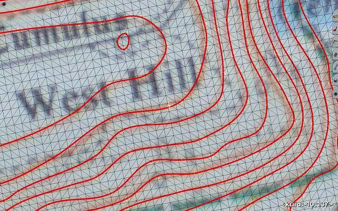
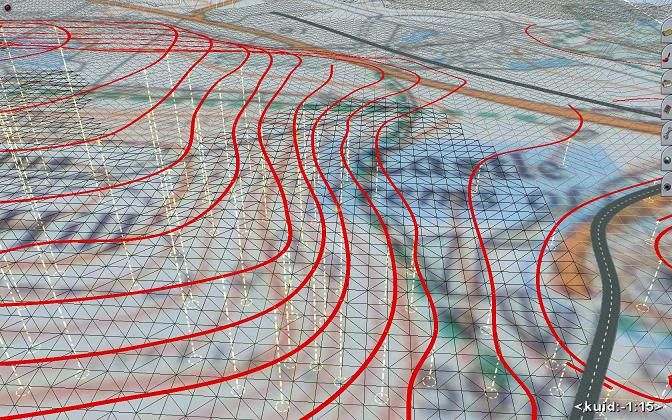
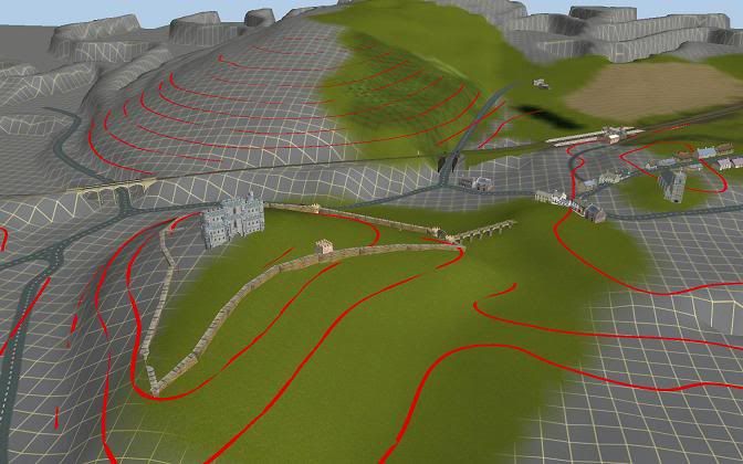
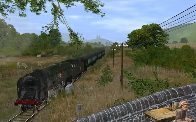
I have just visited NSW Australia and would like to build a realistic route from Newcastle to Sydney Central railway station using Google Earth or whatever is needed.
Can anyone please advise how I would go about this in order to have a accurate build?
Do I need any other software for this project?
My second question is, how do I create a driver schedule?
I am using Trainz 2009.
Your help would be greatly appreciated.
Best wishes to all.
Tony Jeffs, in UK.
 
TransDEM. Look for a current thread in the payware forum, so yes it's gonna cost you, but worth every sou. It will give you spot-on land forms and overlay map or satellite photos to taste...
 
It prolly wouldn't hurt to check if it is not already under construction..

I only say this as when it comes to doing projects that are under construction Trainz would have to be the least informative group I have ever seen ...

either I've been missing something or it don't exist a list of all trainz projects under construction..

perhaps a task someone who can understand the blog system..

I'm currently working on the section from NSW border to Acacia Ridge.. and have completed but not released yet Port of Brisbane..
 
Wandering off-topic - way off topic - but does it matter if somebody else is doing the same route? No matter how 'accurate' they are they will still be different, a bit like two artists painting a portrait of the same subject, the two paintings will be completely different.

As for the group being 'least informative' there are plenty of WIP pics in the screenshots forum, but I really don't see the need to log or register projects. I always hang off a bit before 'announcing' a project because I abandon two-out-of-three and frankly feel a bit silly when another one I was all fire and brimstone about bites the dust after a fortnight! And just because I am working on the EVWR - and will release it! - is no reason for somebody else passionate enough about the route to not have a go also...

Andy ;)
 
Can anyone please advise how I would go about this in order to have a accurate build?
Do I need any other software for this project?

TRANSDEM, as others have noted, is one way to do what you want, but it's not the only way.

I am currently working on an historic route for which TRANSDEM data is not available. What I did was to find source of on line topographical maps--in your case, those as at <http://gsp.maps.nsw.gov.au/> might fit the bill, take a collection of screen shots to get the data I wanted, used image processing software (my choice is GIMP, you may have another preference) to superimpose a grid sized at 720 x 720 meters, and transfer the relevant elevation data from that. Had I not been able to find the data I wanted on line, I would have used basically the same technique, except to visit a good map library, and obtain scans of the topographical maps they had. Using the images with the 720 x 720 m grids, you can use a good ruler to find distances, and usually get some needed elevations off the map.

Also, Google earth shows elevations in meters, so when you get the route in about the right place, you can trace the route in G.E. and find what the elevations are, and adjust your heights and gradients accordingly.
 
TRANSDEM, as others have noted, is one way to do what you want, but it's not the only way. ~snip~

I’ve also used the 720x720 image (basemap) method of raising terrain by hand.

In addition to mjolnir's excellent advice there is a trick to help with manual terrain creation if your map contains contour lines.

Set the Surveyor view directly overhead and lay invisible track to cover the contours.
3ed822e7.jpg


Then set the track spline points to the correct contour height by typing in the relevant number into the Height value box and using the Apply vertex height button.
Set the view angle a bit lower from vertical when you do this to ensure you haven’t missed any and that each point is equal in height.
Repeat for each separate contour line.
dcda38b0.jpg


Then use Smooth spline height button to make the terrain adjust to the invisible track level. Do just one click at first for each segment to see the effect. Successive clicking will expand the flattening effect, which may not be what you want.
You will initially get a terraced effect so the “steps” will have to be smoothed out by hand which (warning!) is quite a laborious task.
You can do a similar trick with roads if you know the spot heights, and/or have set the road heights where they intersect the contour lines.
62950770.jpg


Even though it’s very labour intensive the above is a good method of honing terrain creation skills.
If you persevere you will learn a lot about how the Topography tools work and how the polygons of the grid behave.
Particularly useful when slight final adjustment movements start to flip the triangular segments of the grid squares.
cf3c70ee.jpg


Although all of the above was done by hand, it isn’t perfect.

TRANSDEM is a much easier way of achieving a quick result, and probably far more accurate for most of us!
 
WOW Burn me I was not condemning you project...
And I take offence at the Assumption that I was ...

I did not Flame you for saying you wished to do such a thing..

Go burn somebody else..... I just about over the crap that goes by in forum and is passed off as content...
 
do you mean realistic for industry and economics generation -- making railroad hauling a cargo somewhere else? or, simply making some 'realistic' hill-like things covered with german factory buildings and Oz houses, in 3D, and then spreading some textures around to look like, either a reasonably nice colored post-card from 1920, or a kodak snap left in the can for years and color developed and printed in some small town in The Sudan?

cause, 'realistic' would be to start with a schematic of what comes out and goes back in, coordinated with various spots on an imaginary map, and then working some scenery-like objects into the track plan so that it doesn't look like a template?
 
Back
Top