Sek_Hakuna
Active member

Uploaded with ImageShack.us

Uploaded with ImageShack.us

Uploaded with ImageShack.us

Uploaded with ImageShack.us

Uploaded with ImageShack.us

Uploaded with ImageShack.us

Uploaded with ImageShack.us

Uploaded with ImageShack.us

Uploaded with ImageShack.us
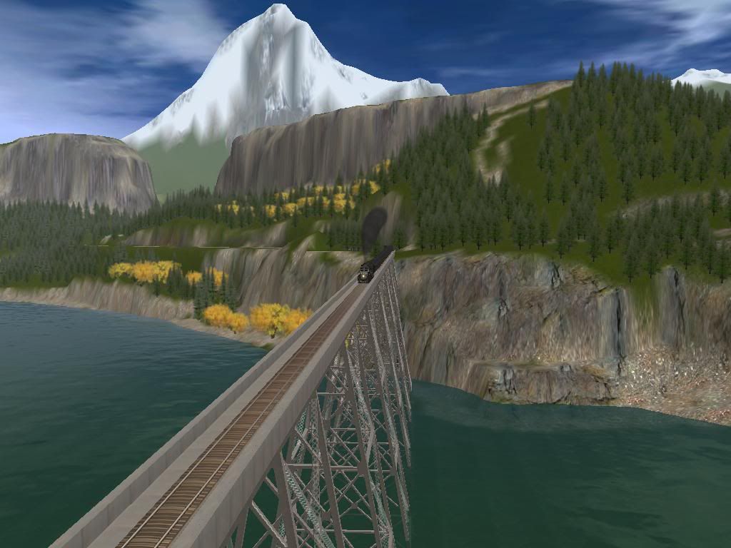
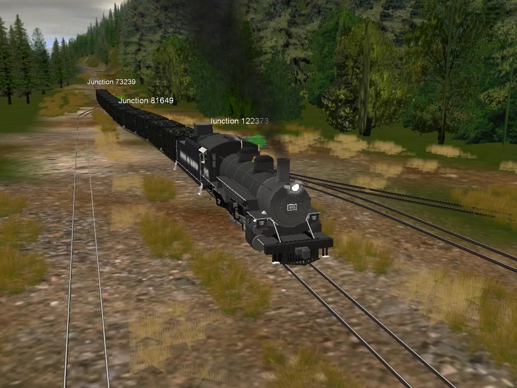
My first time posting pictures here. This is the current route I'm working on. It is 30 boards in size and has logging industry so far. I plan to add mining and related industries. I have several other routes that are either abandoned or still in development. I've been building routes for about 6 months now and learning more everyday. I learn a great deal by closely examining, (in surveyor mode), other peoples routes and how they use textures and such. However...........the texturing in the above images was done with 2010EE and the key press combination of "ctrl>alt>shift>P". For some reason it has to be done twice to get things kick started. I first created all 30 boards then did the key press sequence. I noticed the hills and textures and trees would be applied only to the area I was viewing. Scrolling around the map and the program would then do its thing on the next viewing area. This is useful as the size of the hills/mountains can be regulated somewhat. So I let the program generate terrain and apply textures for about 20 minutes. The colors were okay with me but the mountains and hills looked "funky". A little manual terrain adjustment and things start to look more realistic. I also made "higher" mountains in certain areas. Mostly around the logging camps and the perimeter of the map.
Comments and discussion are welcomed.
Randy
Last edited:


")
 .
.")