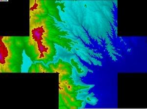
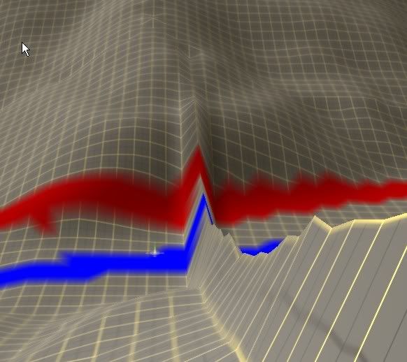
I have attemtped to follow a couple of the dem to gnd tutorials found here in the forums. One thing I'm having trouble with:
I have 10 dem files that I got off the USGS site, and wanted to use them all pieced together for my route. So I merged the dems in microdem, to create one big dem, of irregular shape (I mean not rectangular).

When converting that to the gnd file using hog, and then putting into Trainz, I get wildly exagerated terrain. Is that because of the black space around the edges? Does the merged dem file have to be somehow cropped?
Second question, should I instead of merging, just create individual rectangular gnd files? And then merge in Trainz?
third question: what is the grid size for 2010? The tutorials talk about a 10 meter grid.
Thanks for any help.
I have 10 dem files that I got off the USGS site, and wanted to use them all pieced together for my route. So I merged the dems in microdem, to create one big dem, of irregular shape (I mean not rectangular).

When converting that to the gnd file using hog, and then putting into Trainz, I get wildly exagerated terrain. Is that because of the black space around the edges? Does the merged dem file have to be somehow cropped?
Second question, should I instead of merging, just create individual rectangular gnd files? And then merge in Trainz?
third question: what is the grid size for 2010? The tutorials talk about a 10 meter grid.
Thanks for any help.
Last edited:


