Kree8tiviT
New member
Lehigh Valley : The Forks of the Delaware
"Phase one" of the my route is finally getting to point where I thought it might be presentable.....so starting this thread to showcase the updates.
The route is centered around Easton, Pennsylvania and Phillipsburg, New Jersey........at the confluence of the Lehigh and Delaware rivers.
Besides the the two major rivers, there is also the convergence of the Lehigh, the Delaware, and the Morris canals.
Area residents refer to this hub of activity as the "Forks of the Delaware".
The period I am trying to depict in the route is from the late 1940's thru the 1950's and into the early 1960's.
During this time, 7 major railroads operated in the region...plus several other smaller lines.......pretty impressive for a small town!
In fact, in real life, if you stood on the tracks over the Delaware, you would be visually in eyesight of 5 stations! How many places can you do that?
So, with all this activity.....makes it a great place to create a layout..........that, and the added fact that it is the area I was born and raised so there is the personal connection factor too.
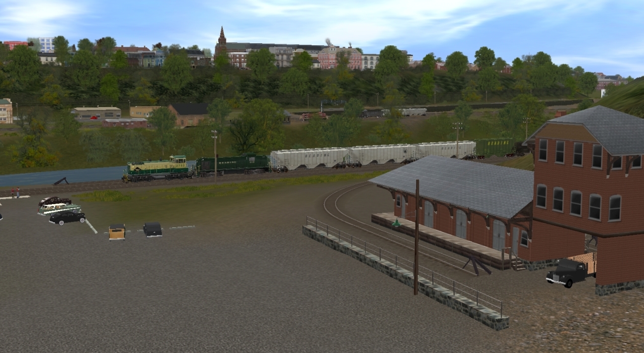
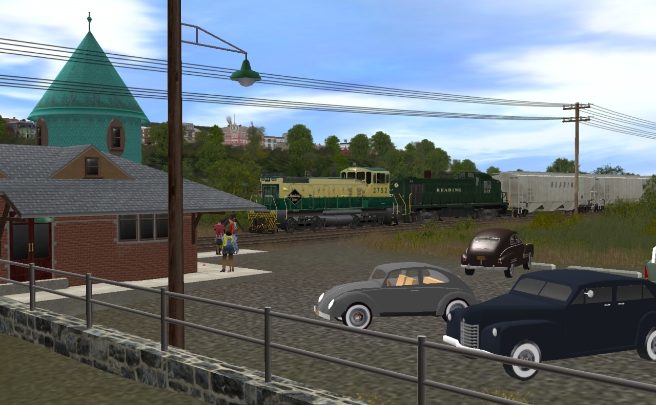
On to the photos :_____________________________________
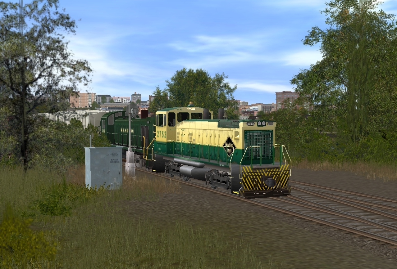
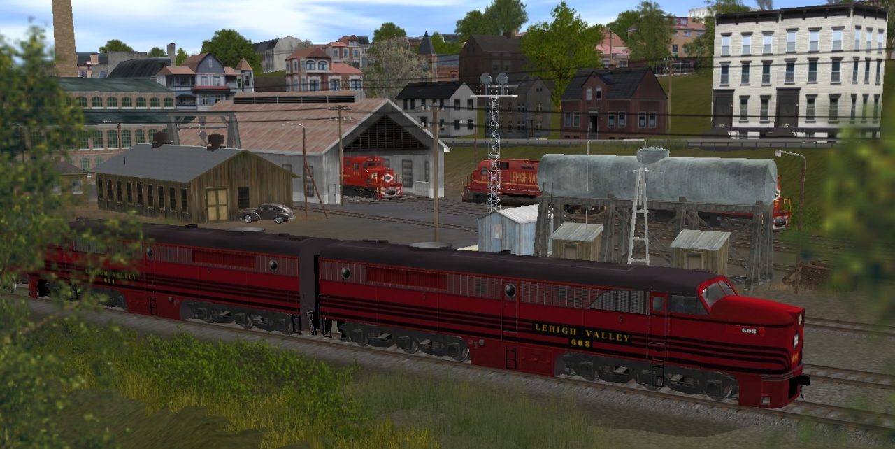
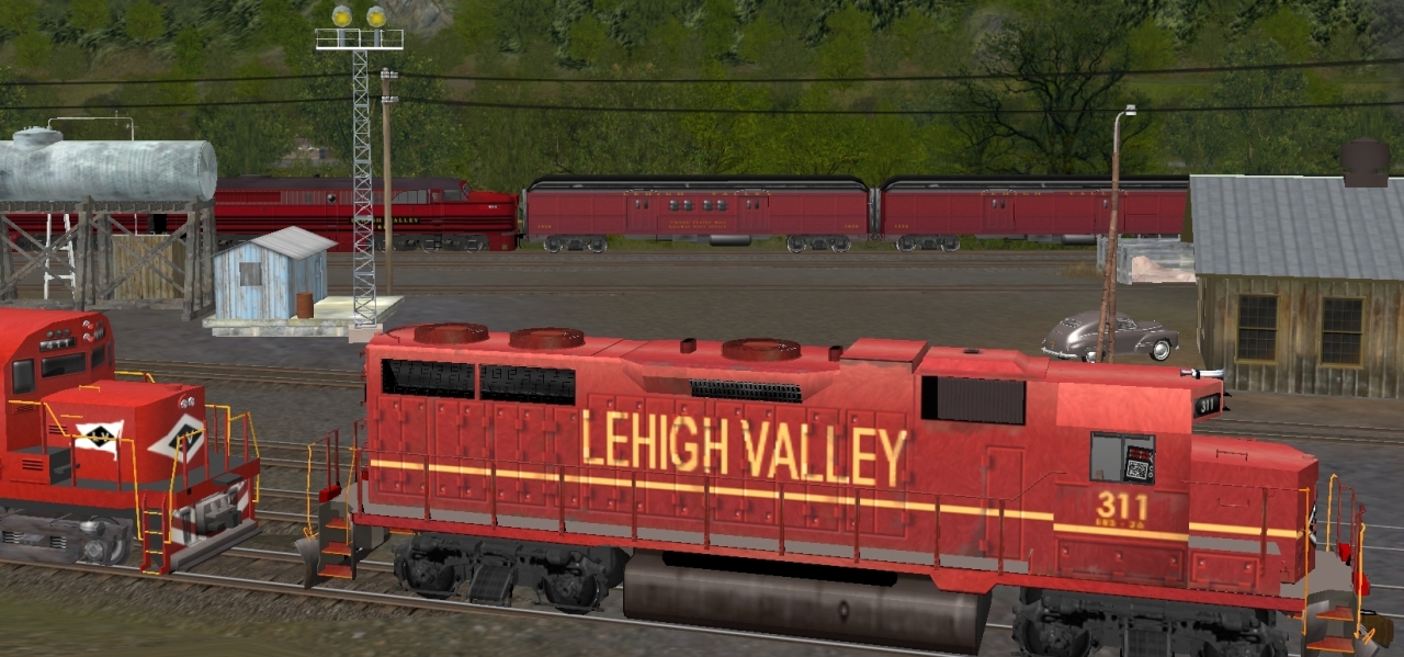
Starting (logically) with the Lehigh Valley..........
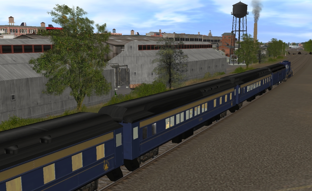
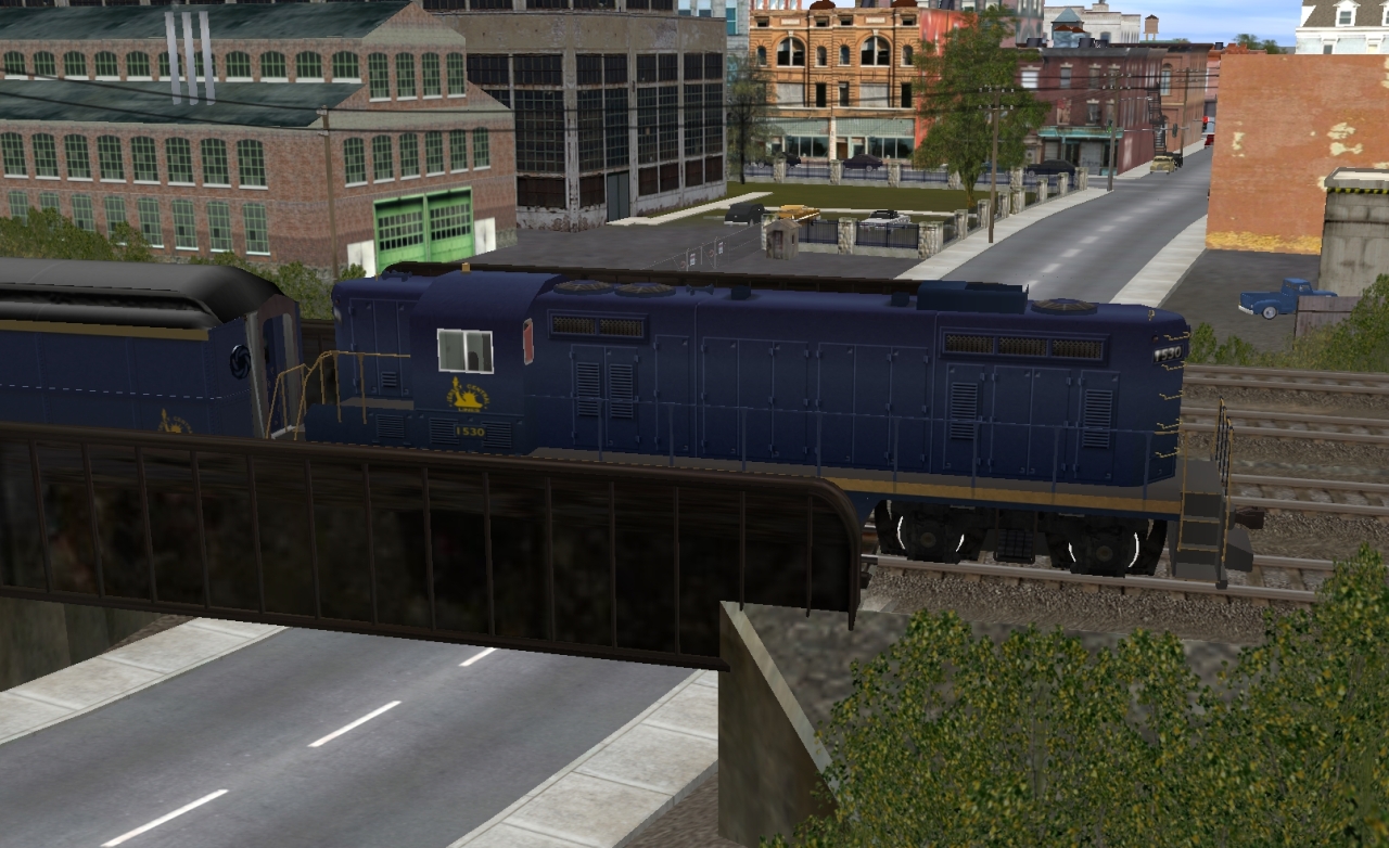
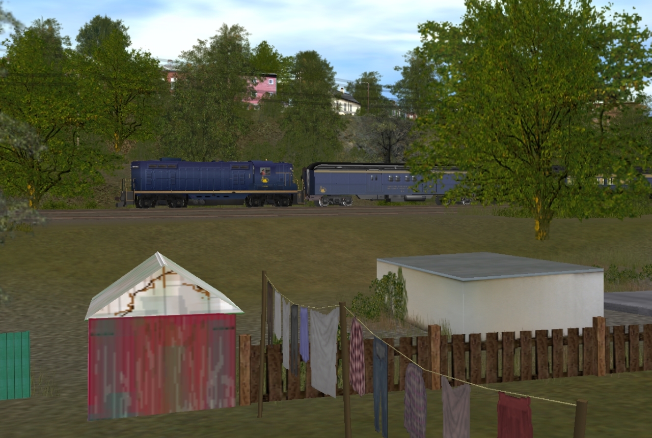
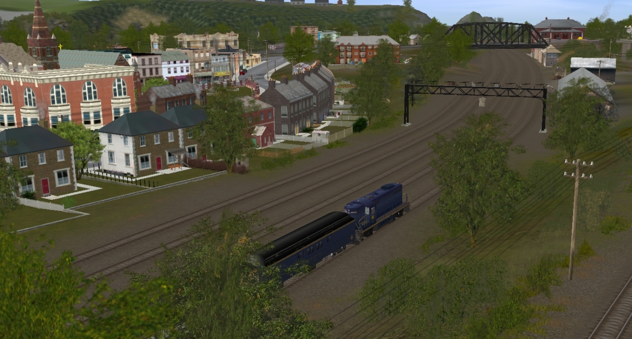
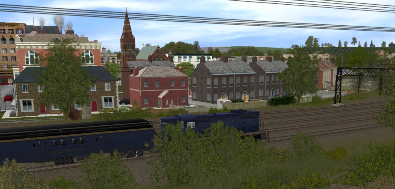
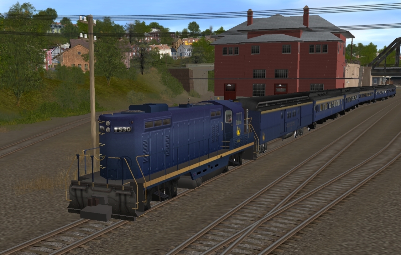
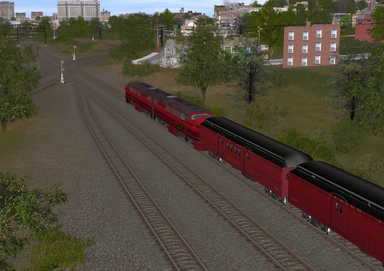
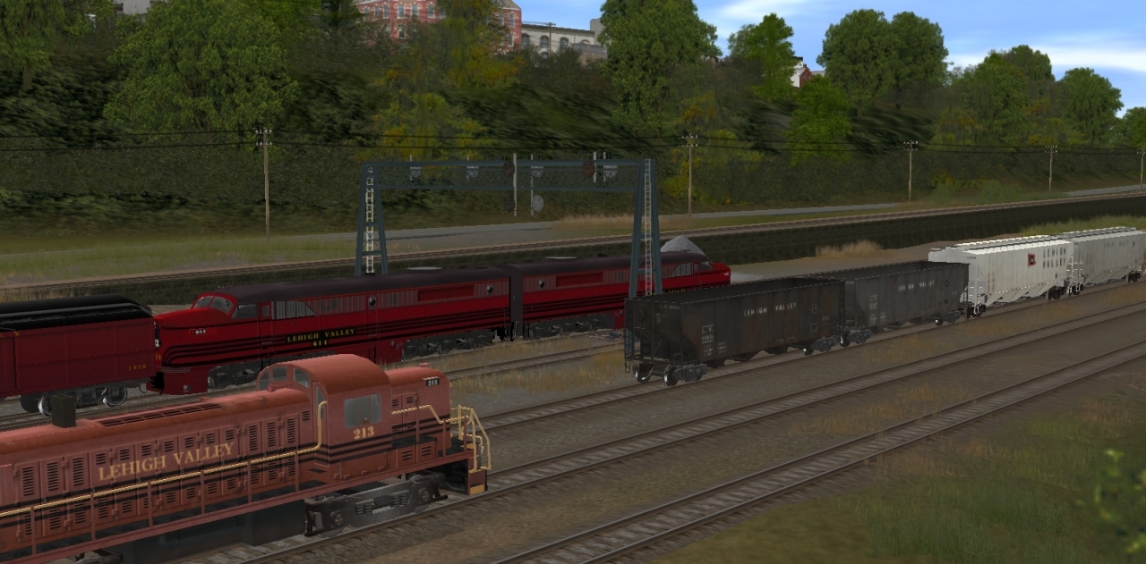
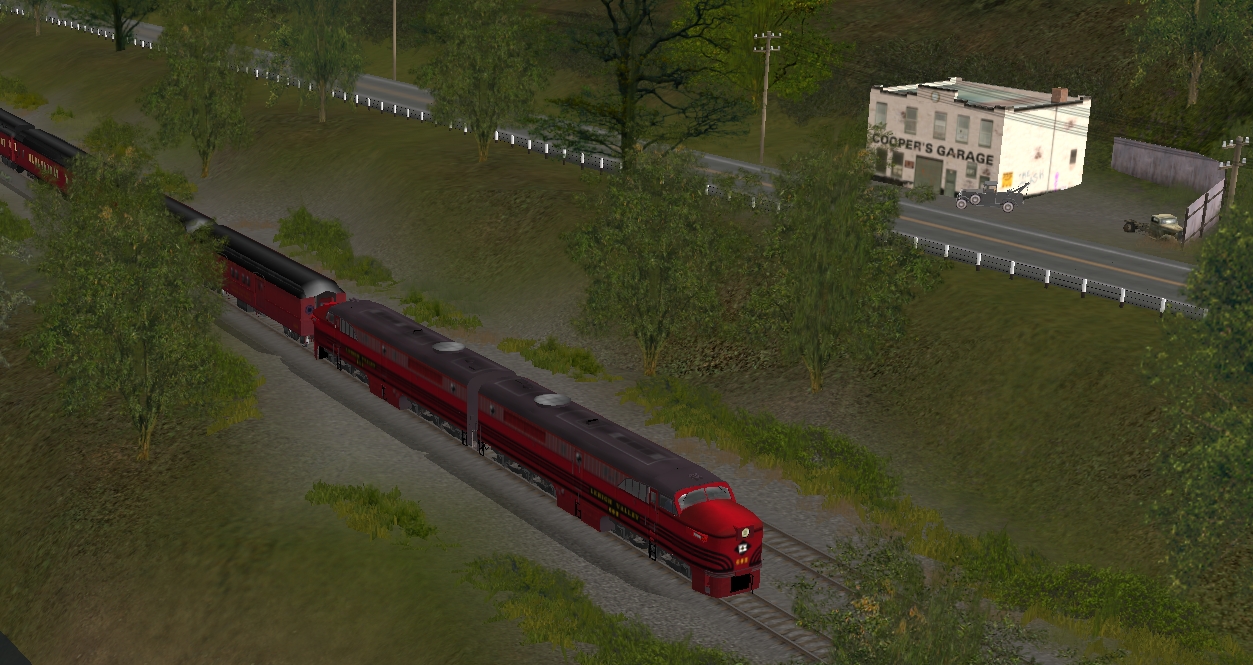
The Lehigh Valley's "Black Diamond".......westbound thru Phillipsburg, NJ......behind Mercer Street
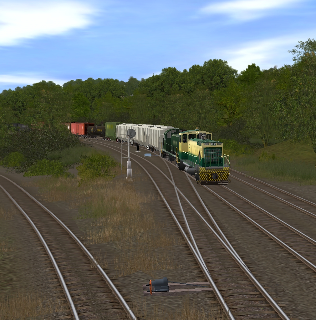
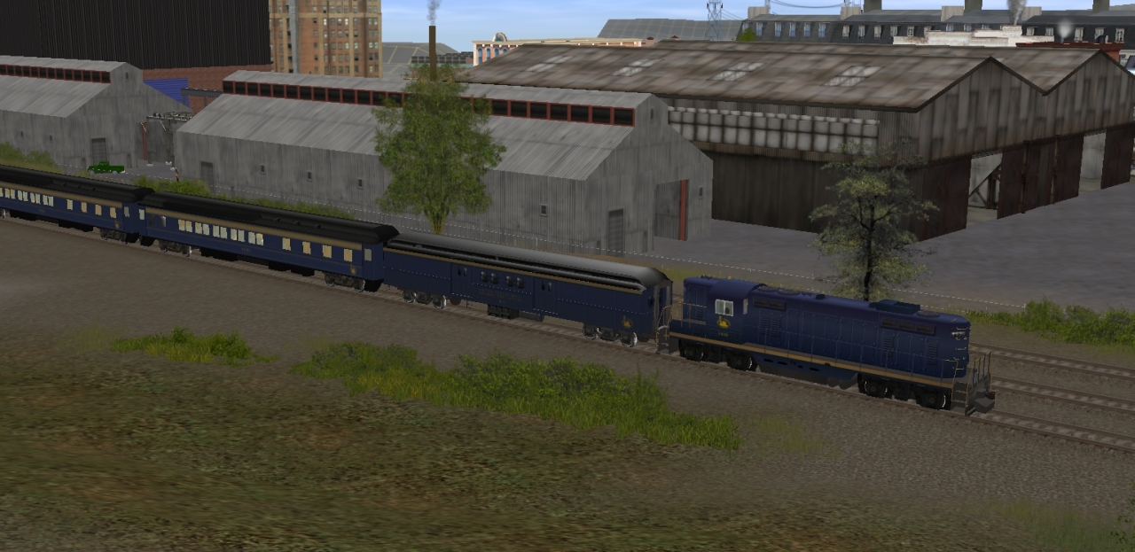
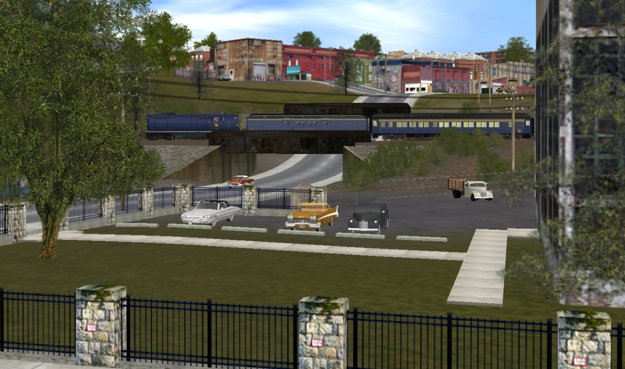
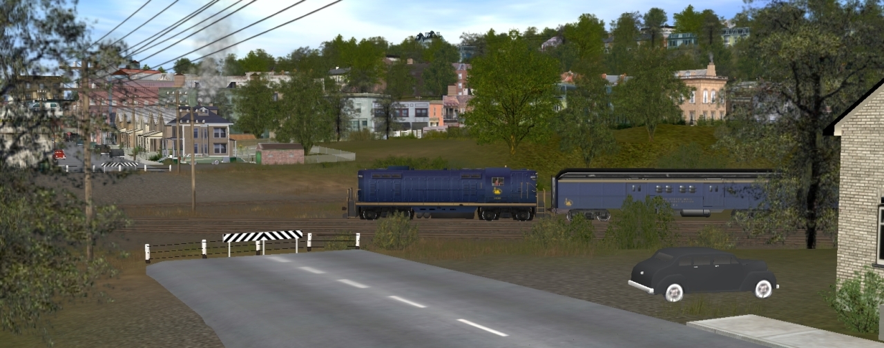
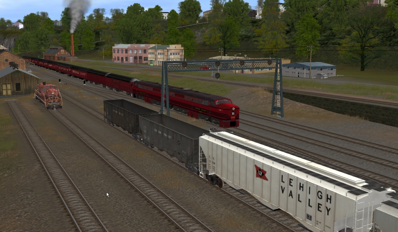
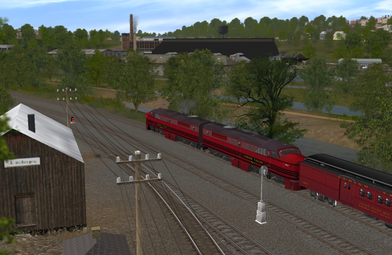
Approaching the diamond crossing of the Bel-Del cutoff
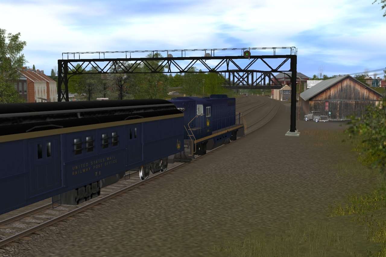
Crossing over the Pennsy's Bel-Del branch mainline
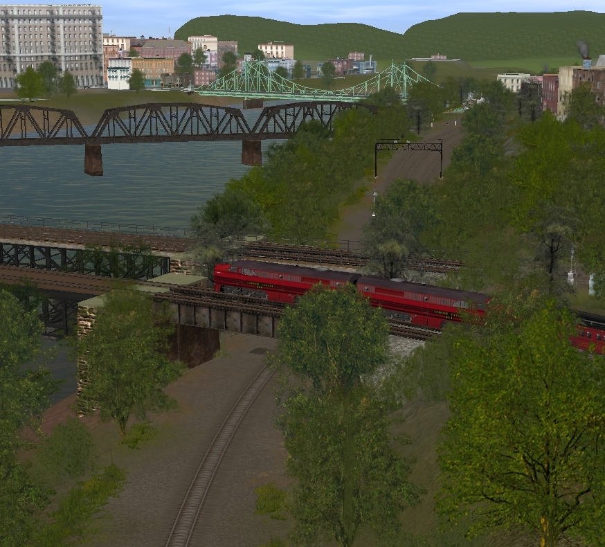
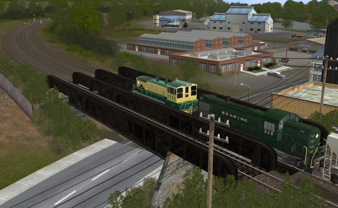
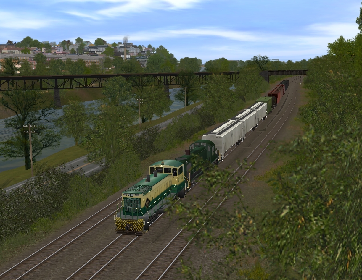
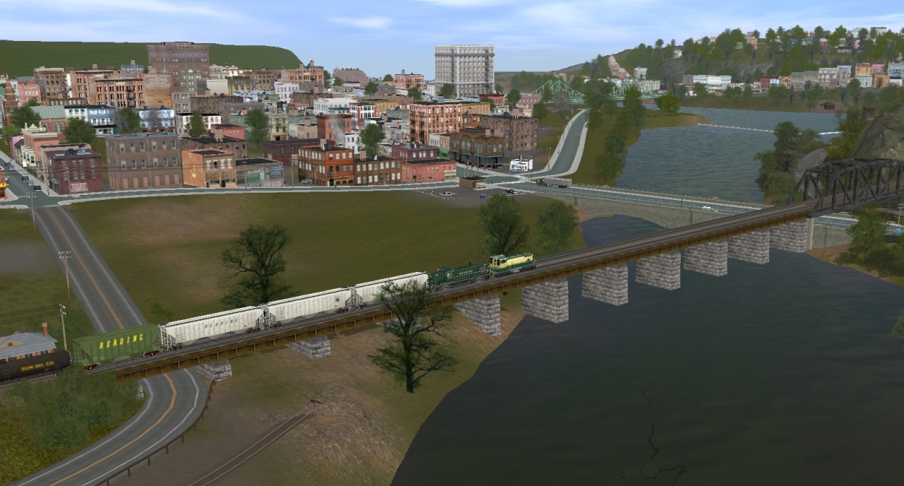
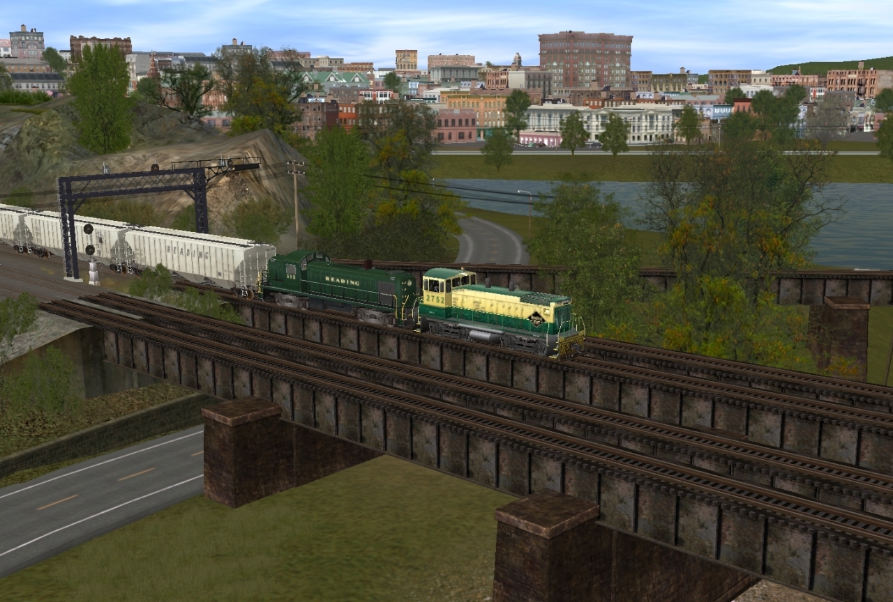
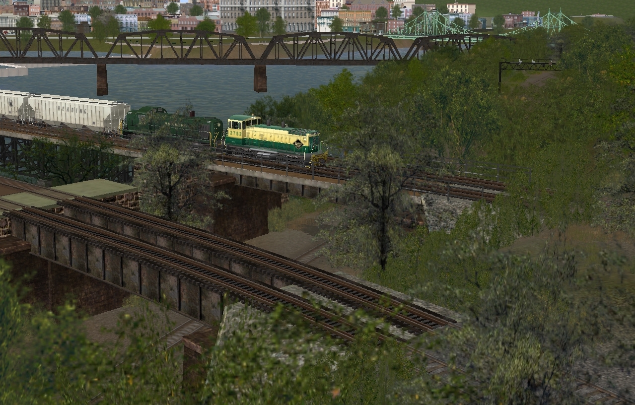
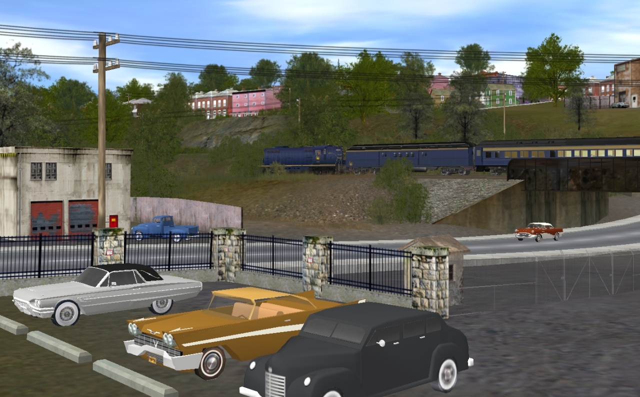
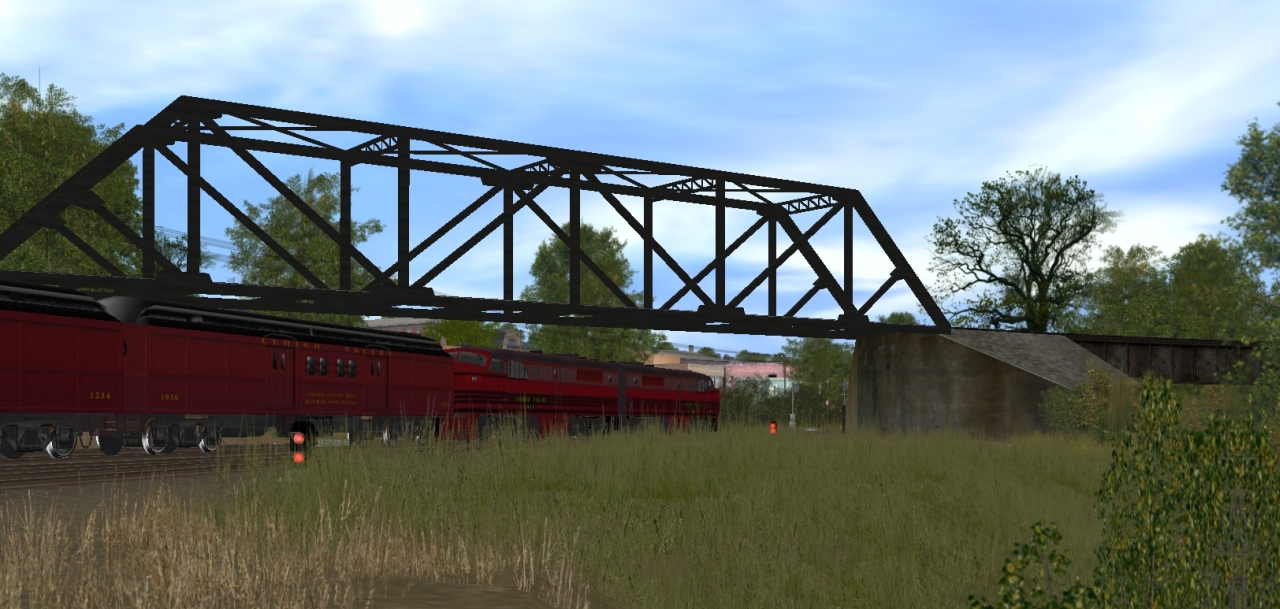
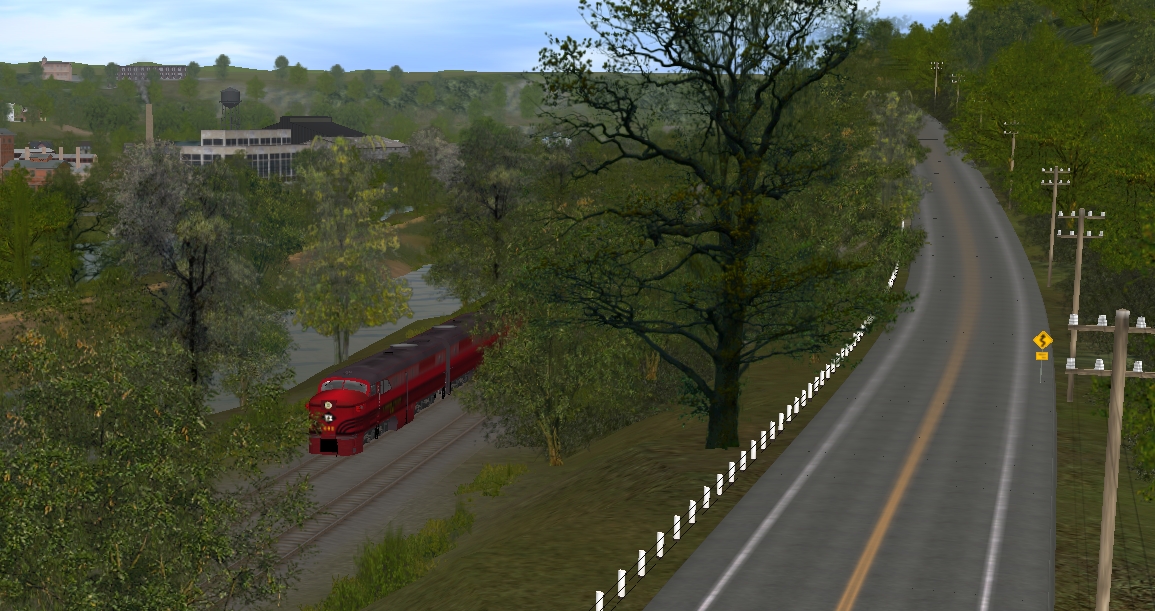
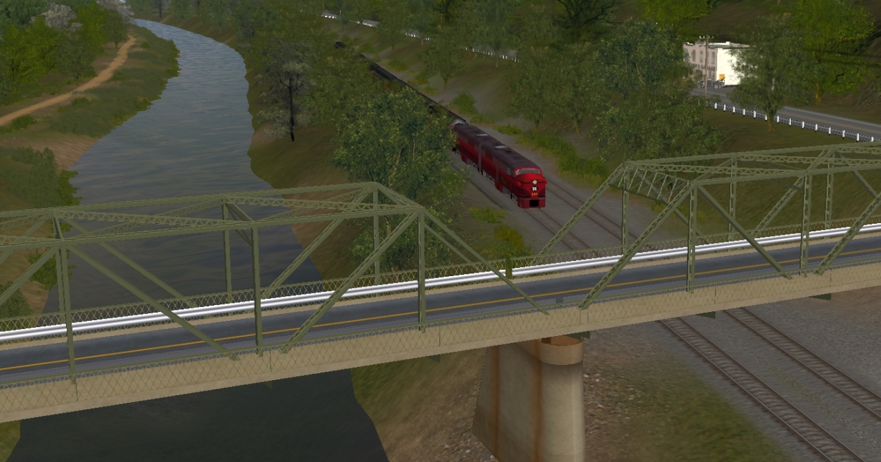
Crossing the Delaware River. The other bridge was used by the CNJ
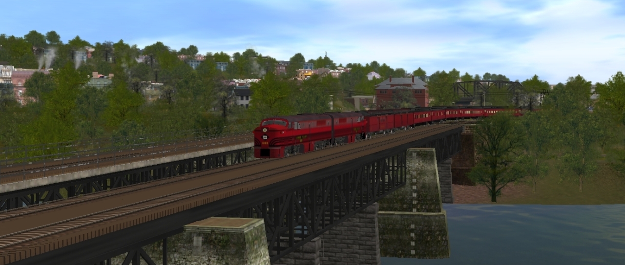
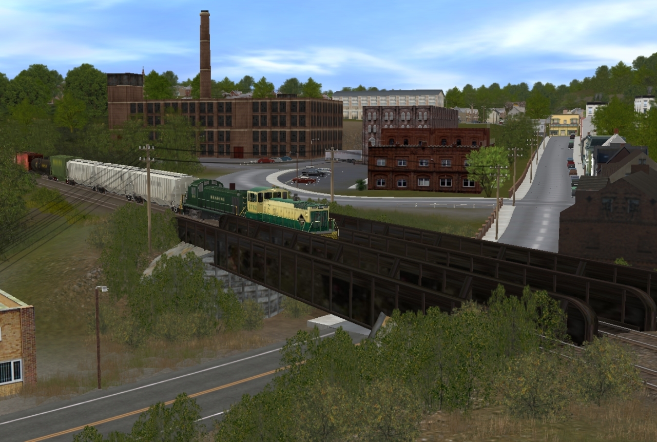
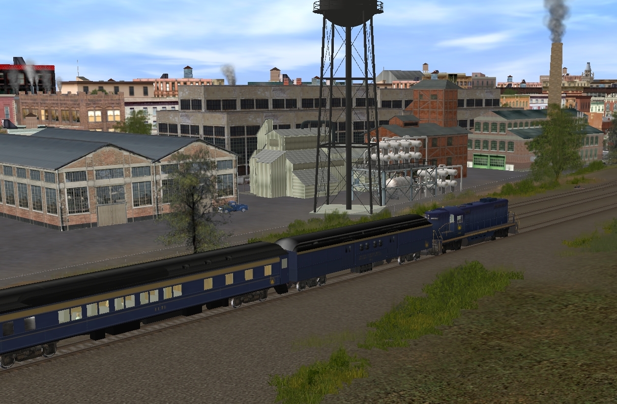
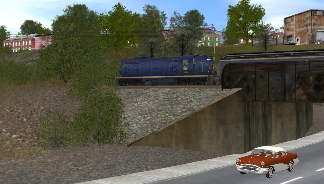
Entering Pennsylvania over the Delaware Canal and Rt.611
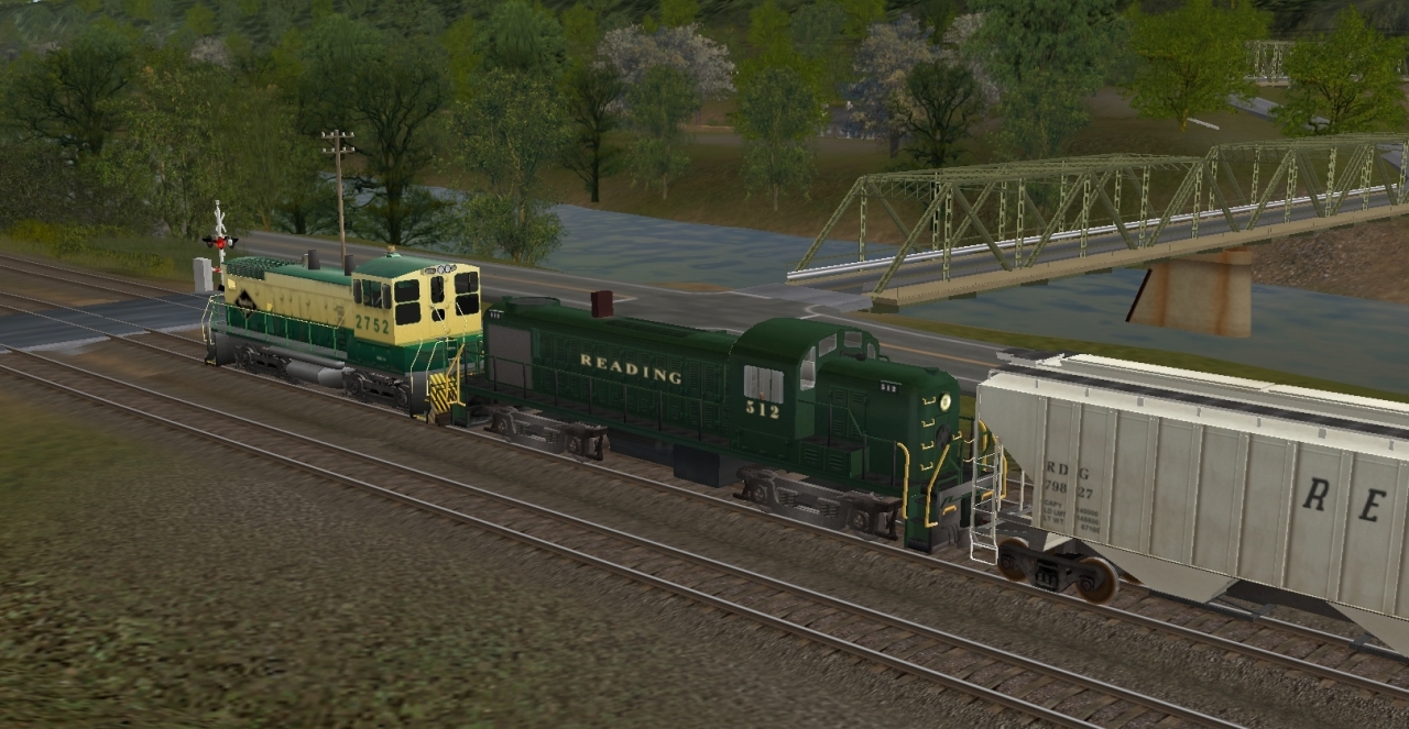
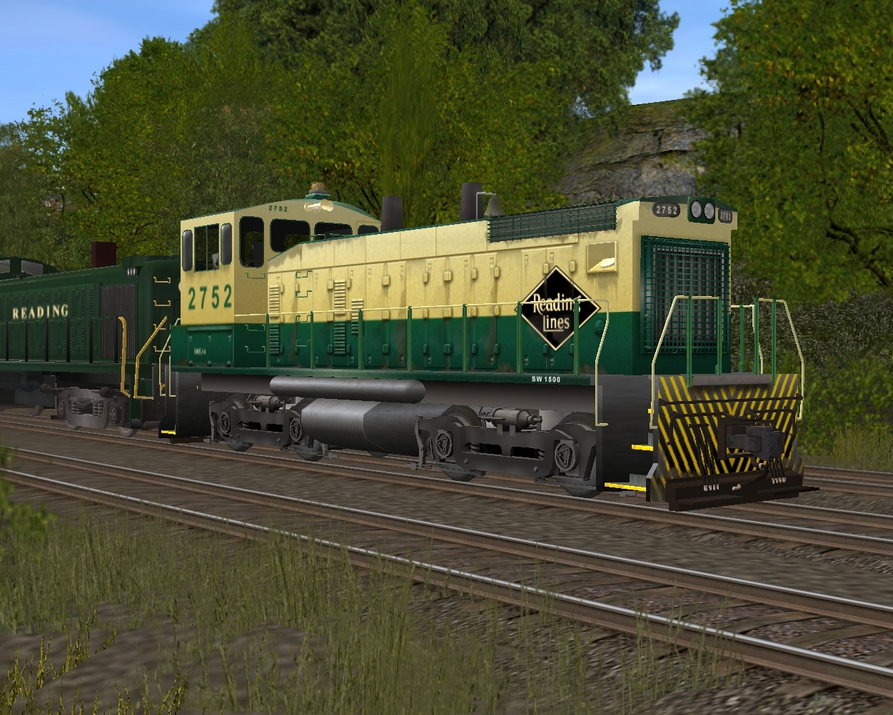
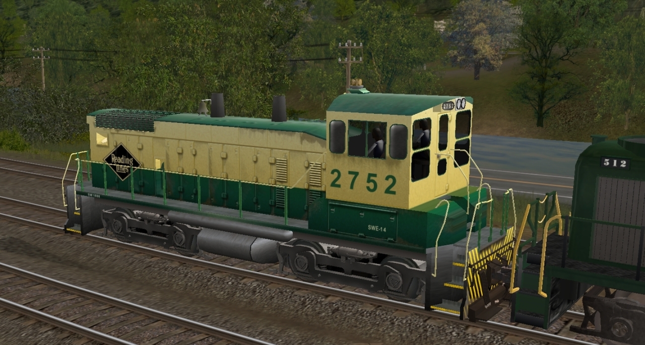
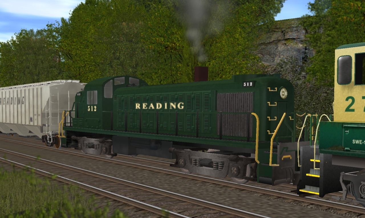
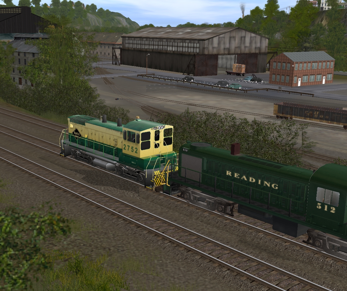
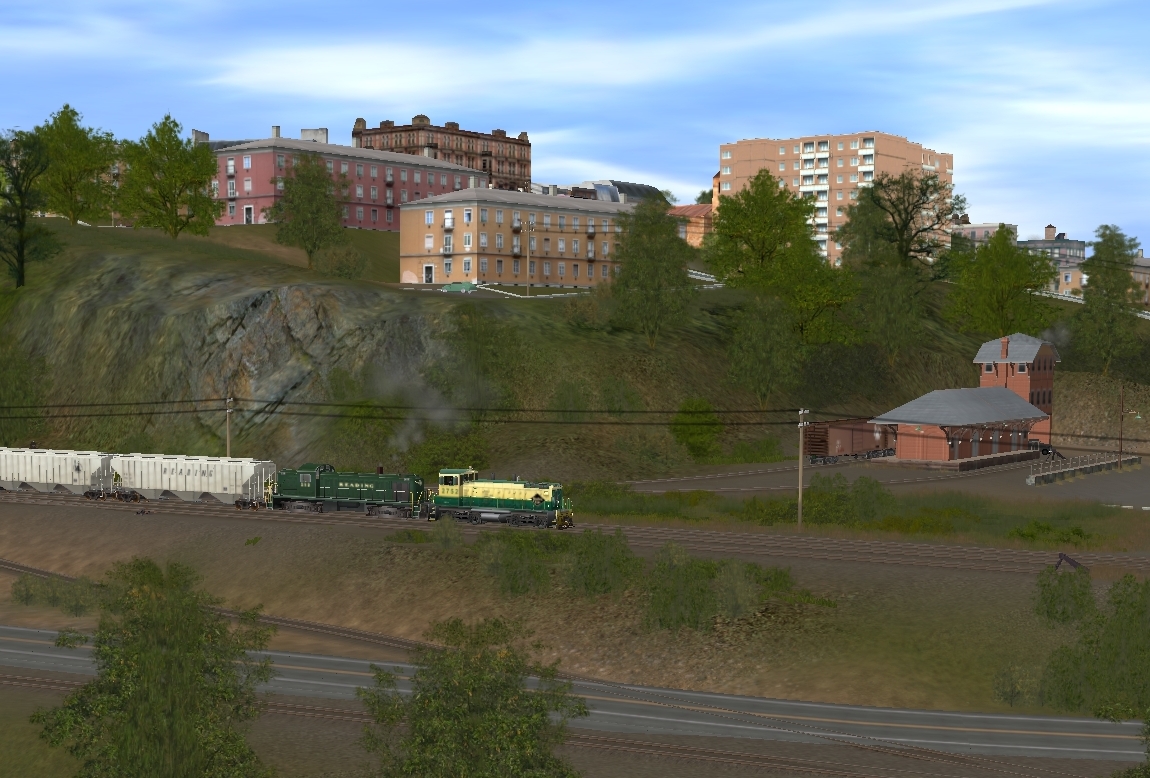
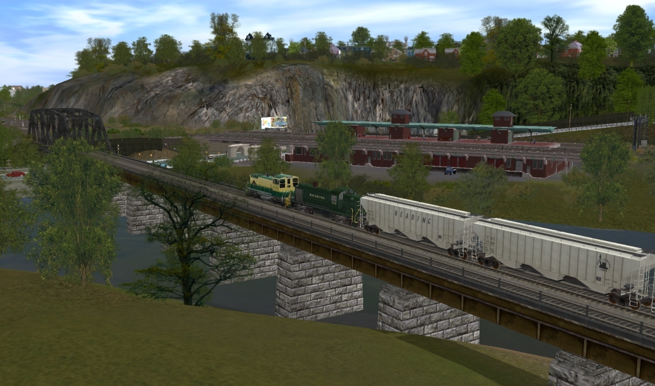
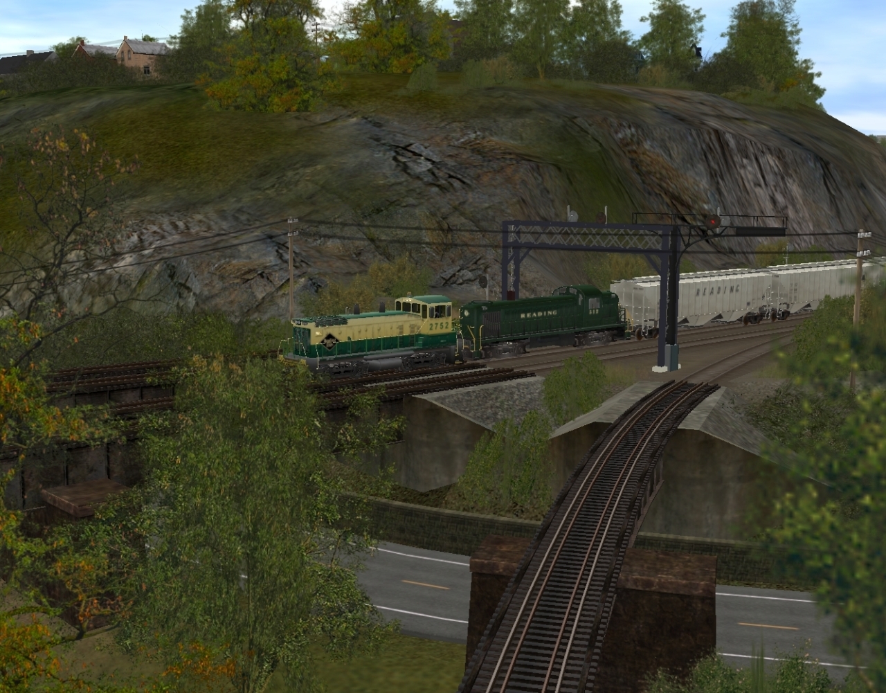
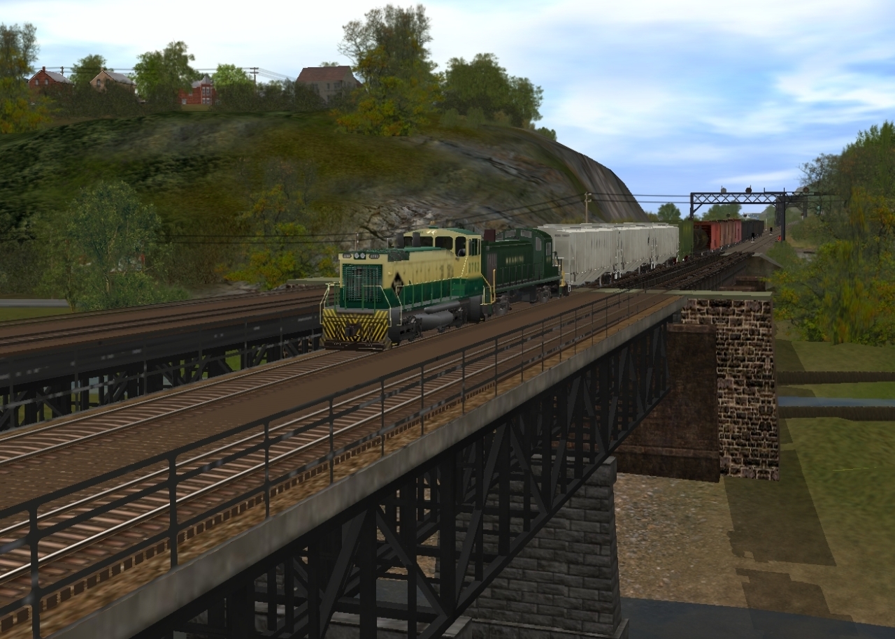
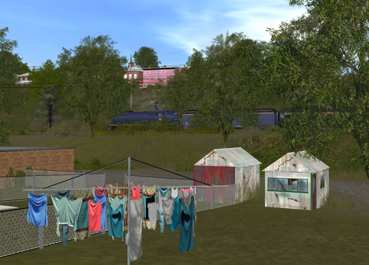
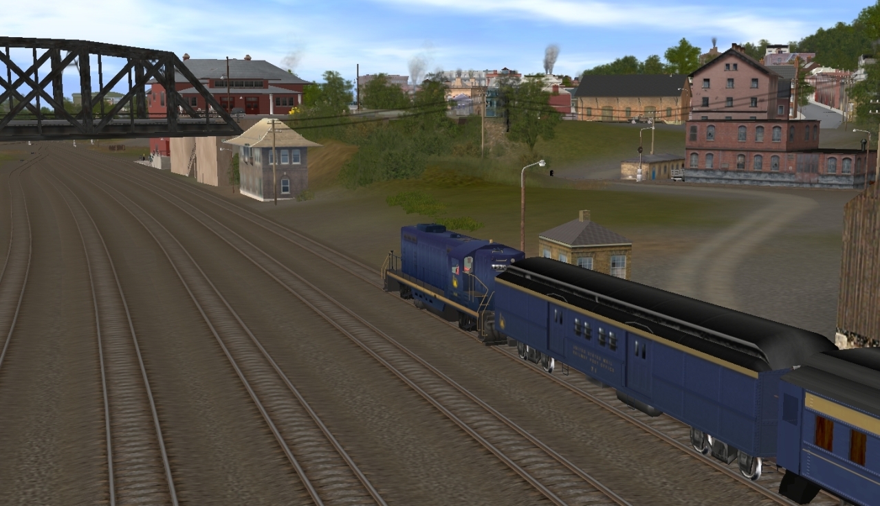
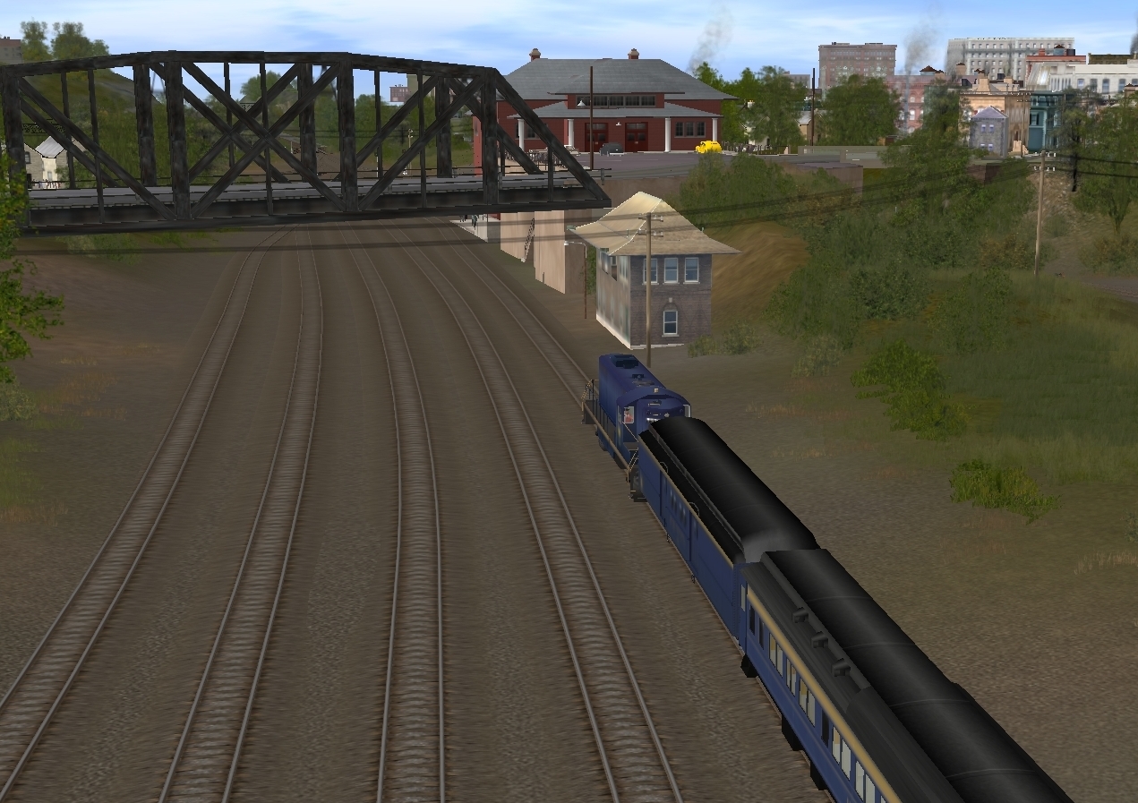
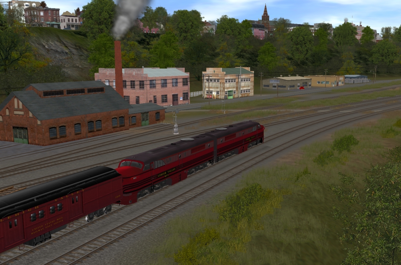
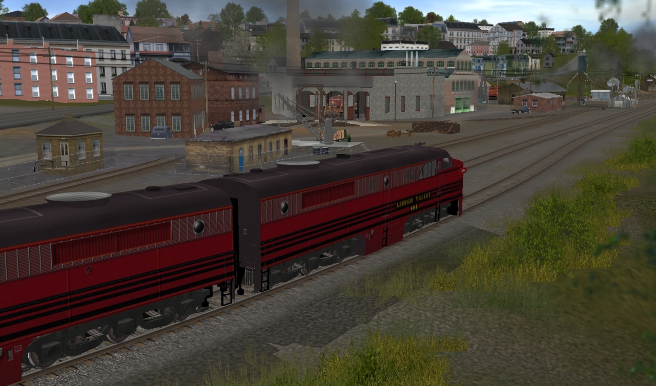
Thru the cut at Mt. Ida. This was the only place to get across the river in the area.....so the Mt. Ida cut was used by every railroad in the area...making it a very busy and congested location.
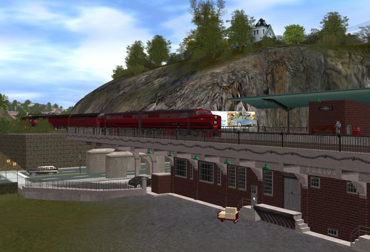
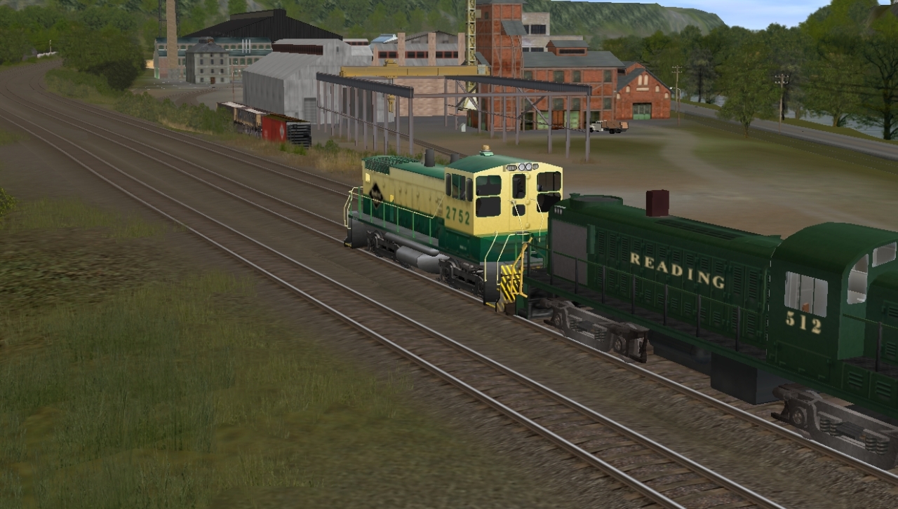
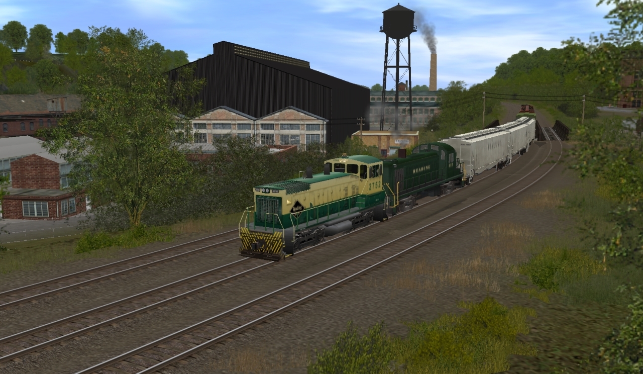
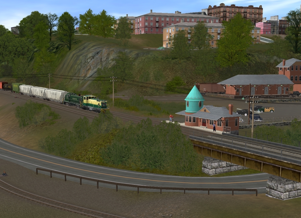
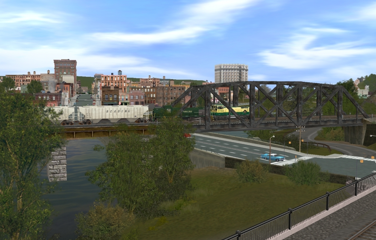
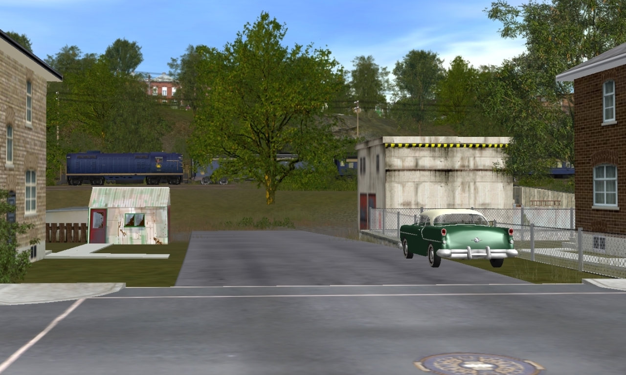
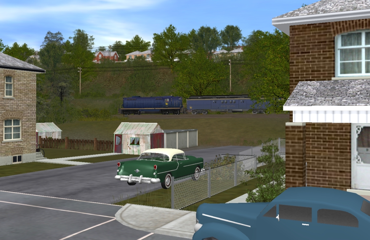
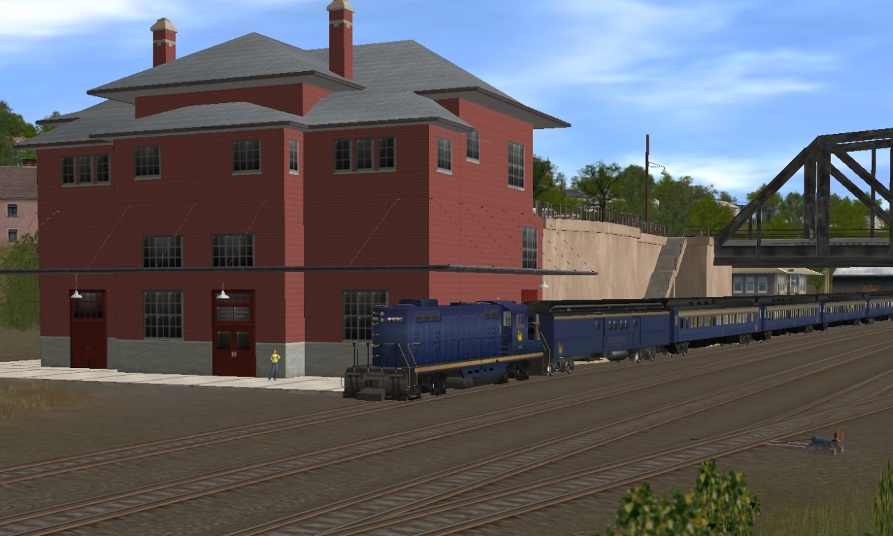
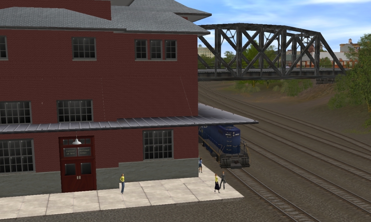
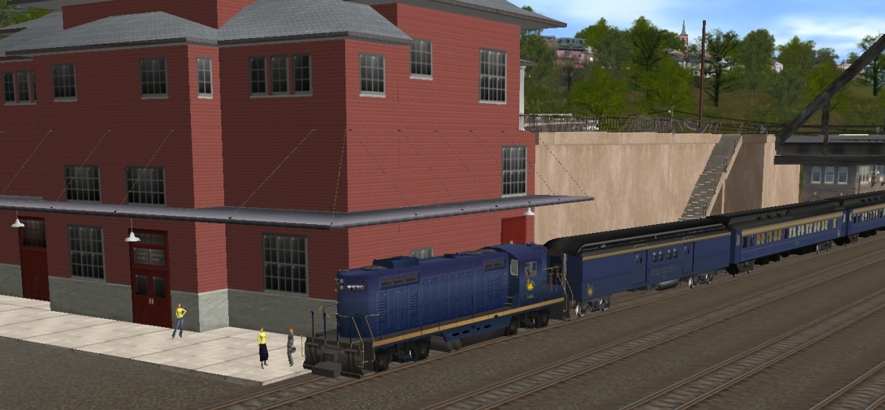
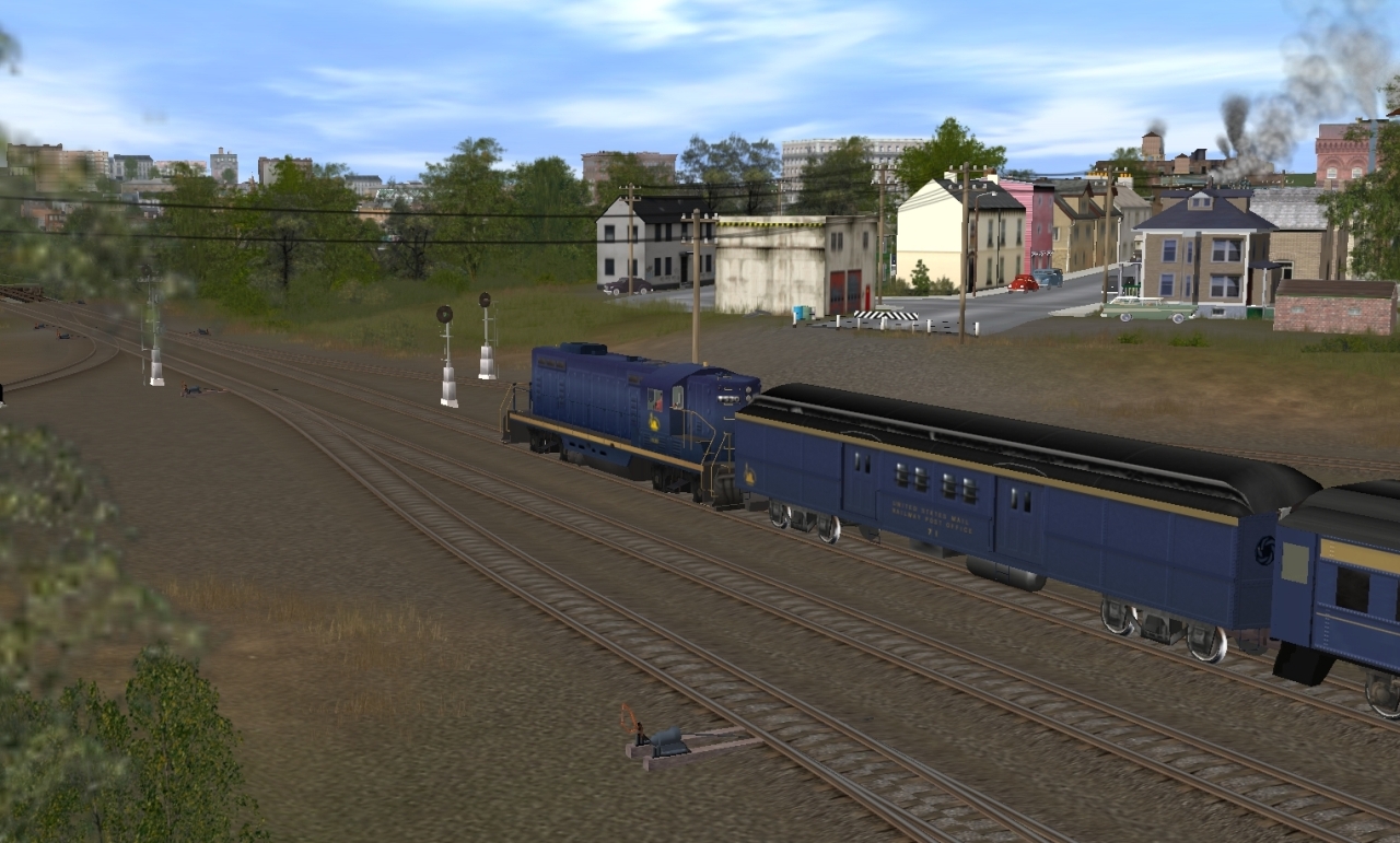
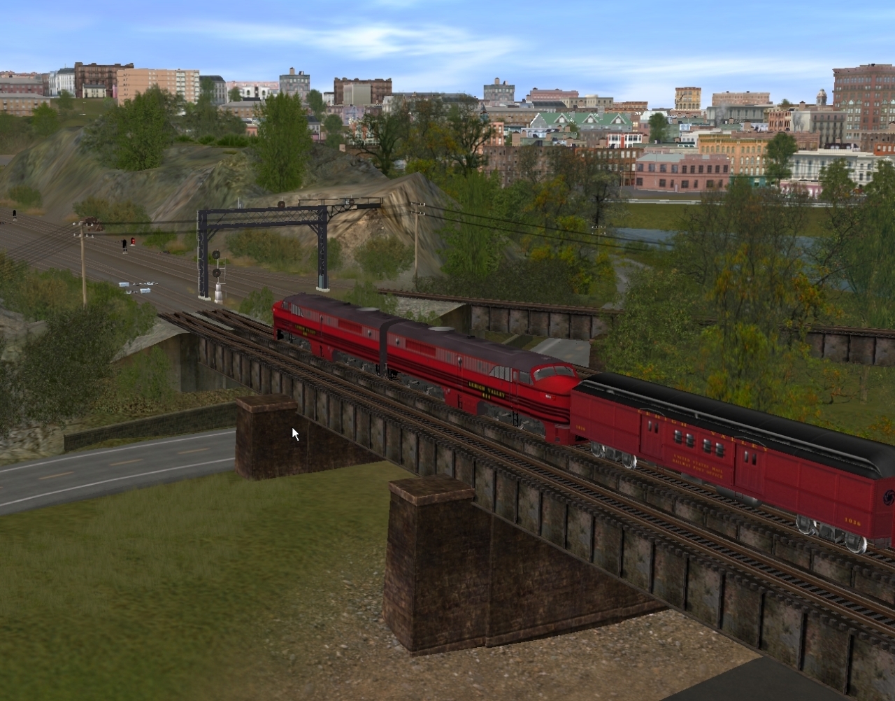
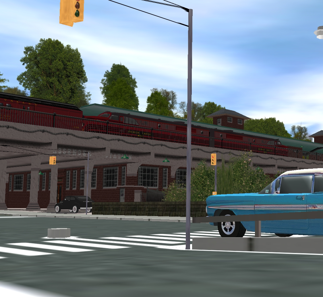
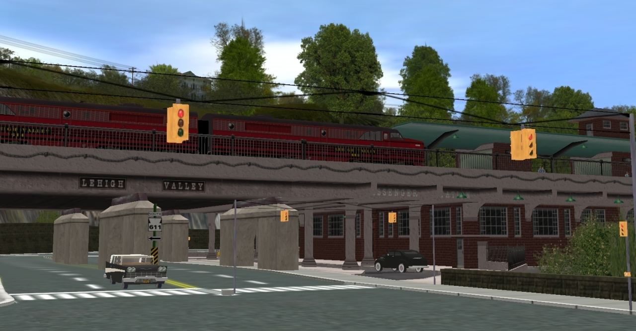
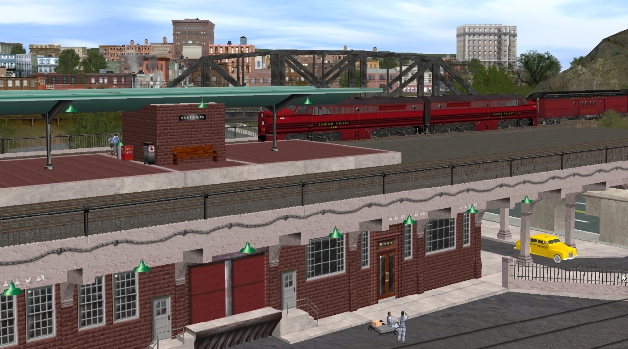
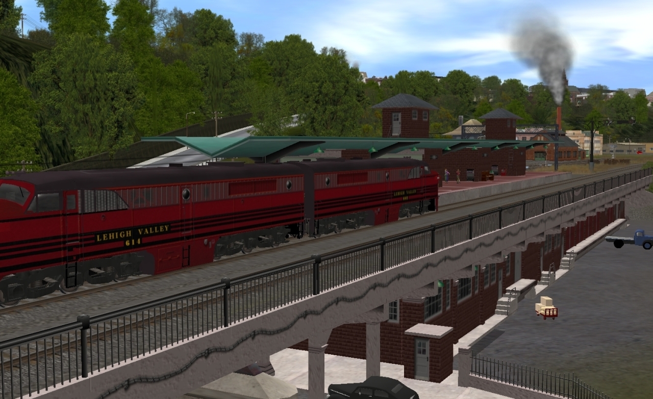
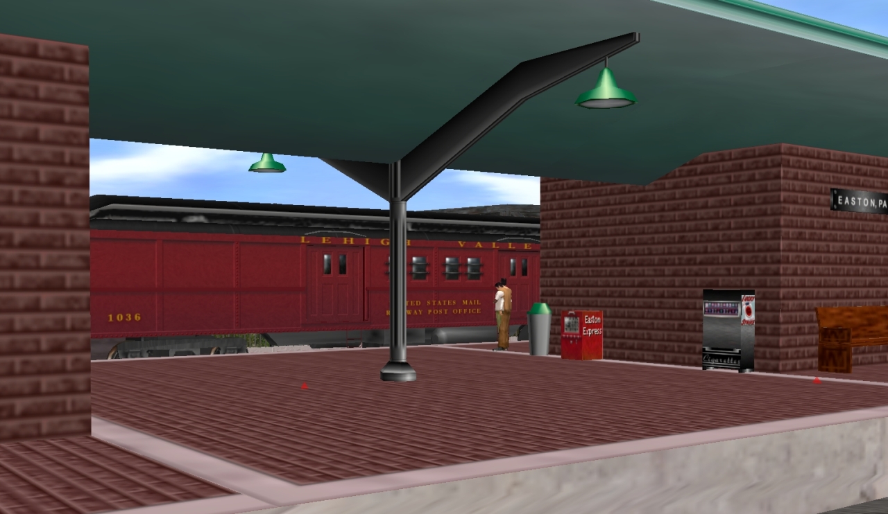
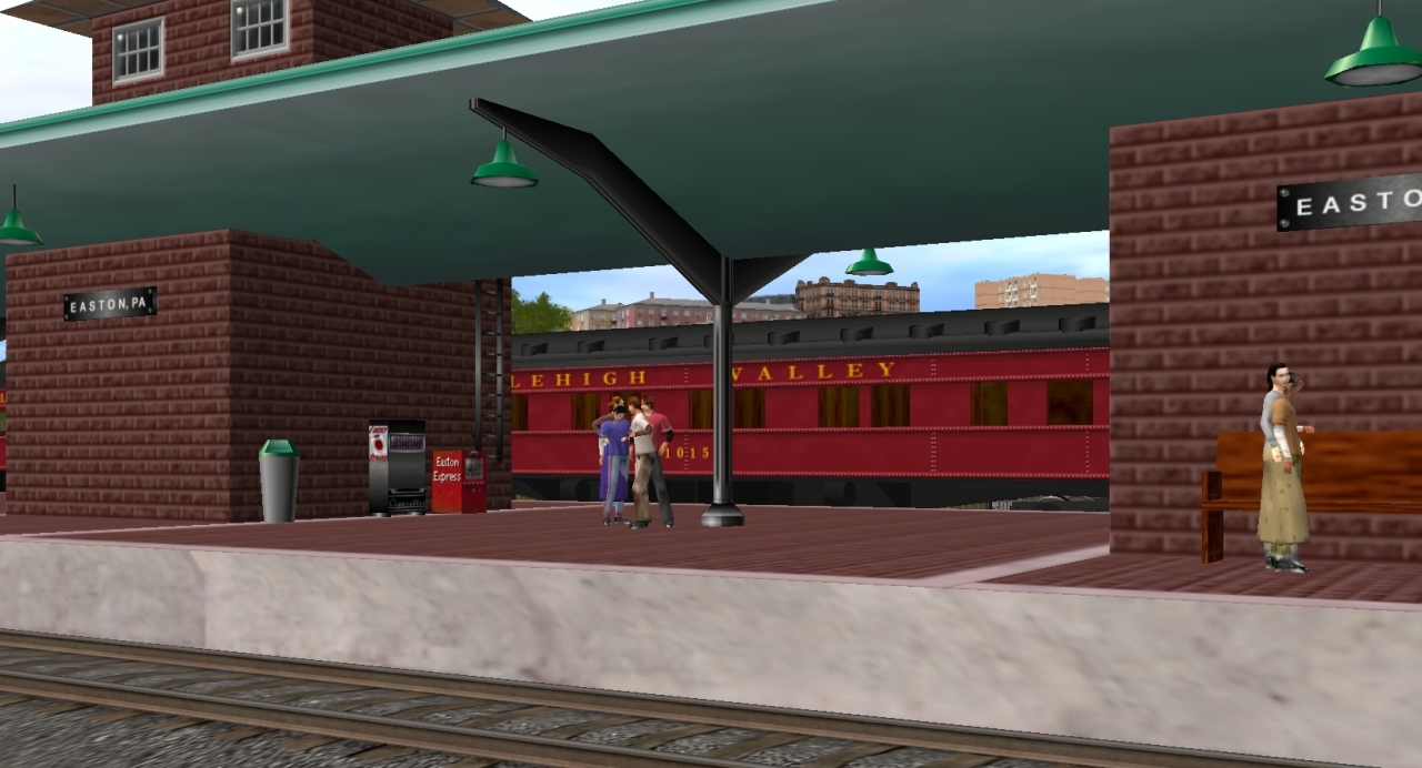
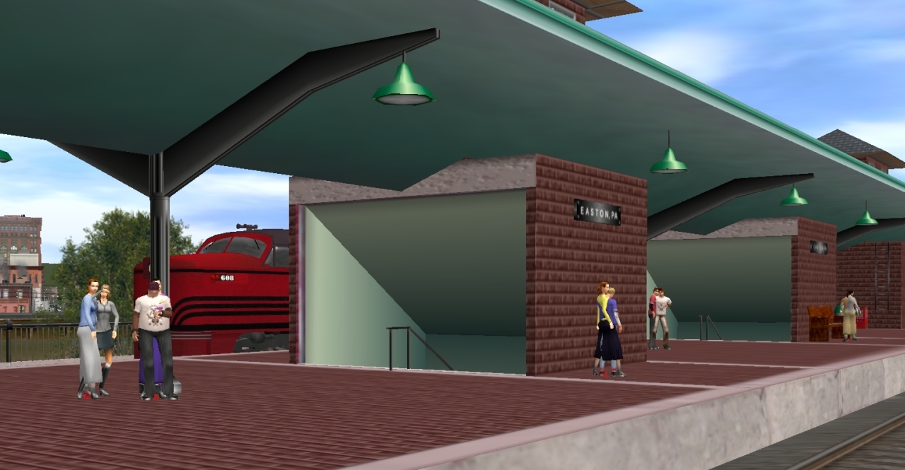
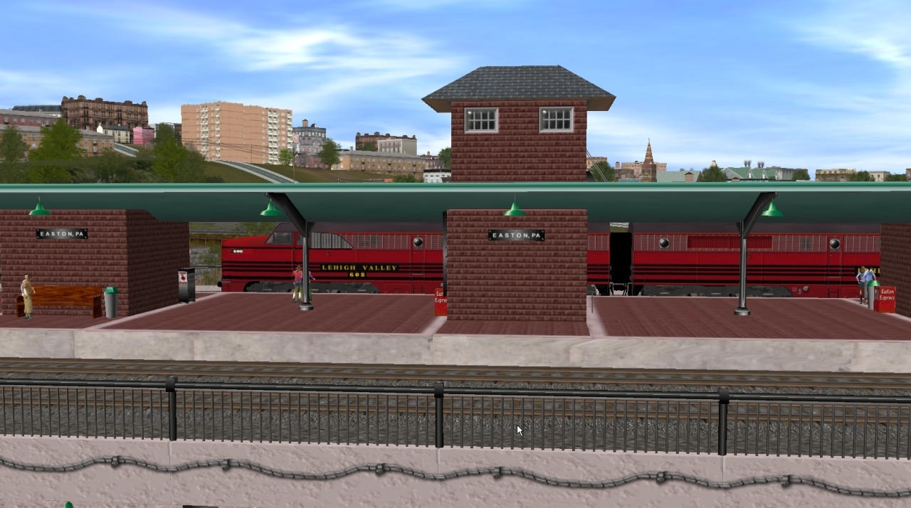
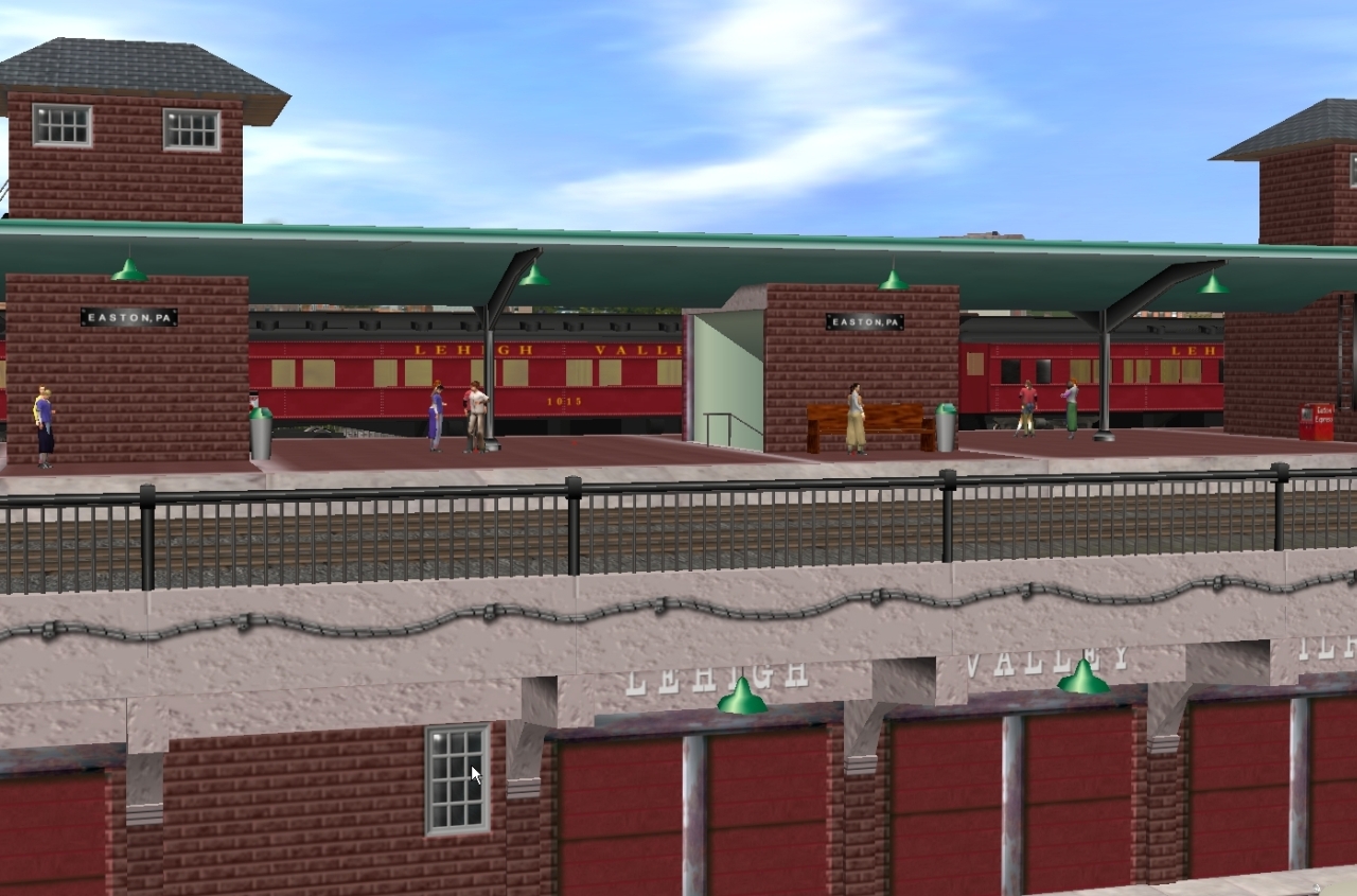
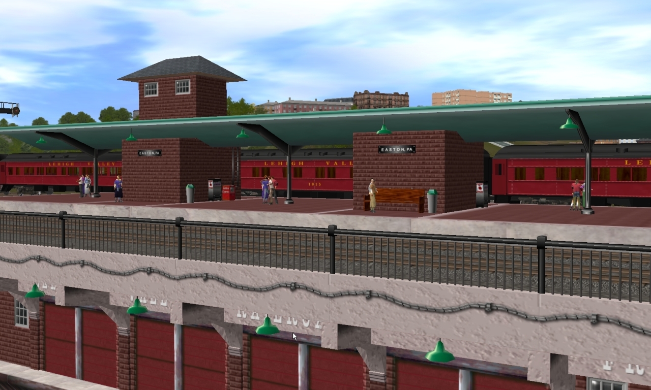
 Approach to LV Easton Station:
"Phase one" of the my route is finally getting to point where I thought it might be presentable.....so starting this thread to showcase the updates.
The route is centered around Easton, Pennsylvania and Phillipsburg, New Jersey........at the confluence of the Lehigh and Delaware rivers.
Besides the the two major rivers, there is also the convergence of the Lehigh, the Delaware, and the Morris canals.
Area residents refer to this hub of activity as the "Forks of the Delaware".
The period I am trying to depict in the route is from the late 1940's thru the 1950's and into the early 1960's.
During this time, 7 major railroads operated in the region...plus several other smaller lines.......pretty impressive for a small town!
In fact, in real life, if you stood on the tracks over the Delaware, you would be visually in eyesight of 5 stations! How many places can you do that?
So, with all this activity.....makes it a great place to create a layout..........that, and the added fact that it is the area I was born and raised so there is the personal connection factor too.
On to the photos :_____________________________________
Starting (logically) with the Lehigh Valley..........
The Lehigh Valley's "Black Diamond".......westbound thru Phillipsburg, NJ......behind Mercer Street
Approaching the diamond crossing of the Bel-Del cutoff
Crossing over the Pennsy's Bel-Del branch mainline
Crossing the Delaware River. The other bridge was used by the CNJ
Entering Pennsylvania over the Delaware Canal and Rt.611
Thru the cut at Mt. Ida. This was the only place to get across the river in the area.....so the Mt. Ida cut was used by every railroad in the area...making it a very busy and congested location.
Last edited:
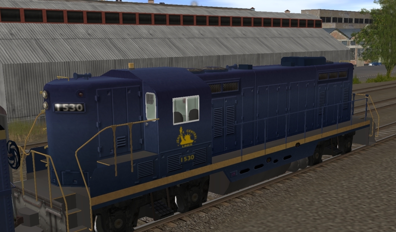
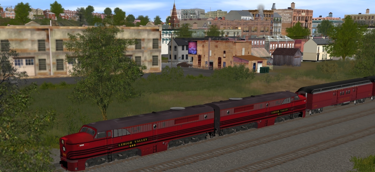
 Only if there were better Lehigh Valley Motive power. Only if.