Howdy Fred, it has been far too long my friend! I'm making a trip to Saratoga to see my uncle next month and decided to try Amtrak for the first time... so I've got tickets for the Adirondack northbound and the Ethan Allen southbound, I'm leaving from Rhinecliff so let me know if you'd like pictures from there, I plan on getting there early and will have time to kill. It's a very nice old station there, plus I feel my Jeep is safer there than Poughkeepsie, haha. The route is looking amazing as always!
Thanks for the offer tbob! I would appreciate seeing any pics from the area, but nothing specific, since I'm modelling further south. My wife and I are planning a trip next summer...NYC...train to Albany...rent a car. We plan on exploring the Capital District around Albany as well. Then it will be east through New England. I'm so jazzed!

Have fun!
Cheers,
Fred

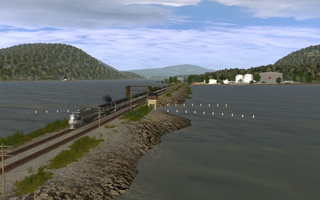
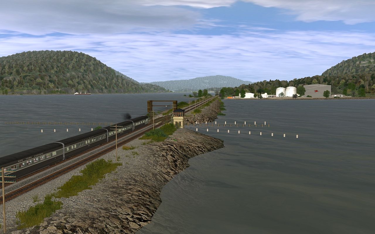
 Amazing work.
")
")