bigboy4014
East Broad Top Historian
rpearson i really want a copy of this route! it's making me drool!
Follow along with the video below to see how to install our site as a web app on your home screen.
Note: This feature may not be available in some browsers.
there are absolutely amazing pearson i wish i was able to go out there and do thisWell located the pics I was after of that area - just had to locate the right cd.
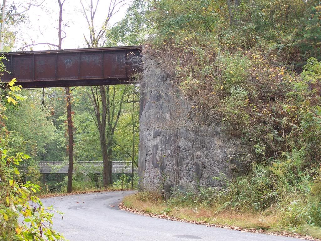
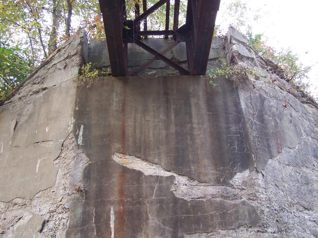
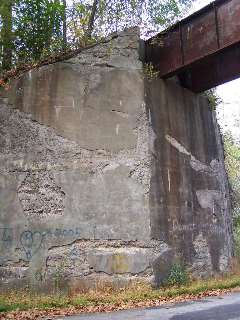
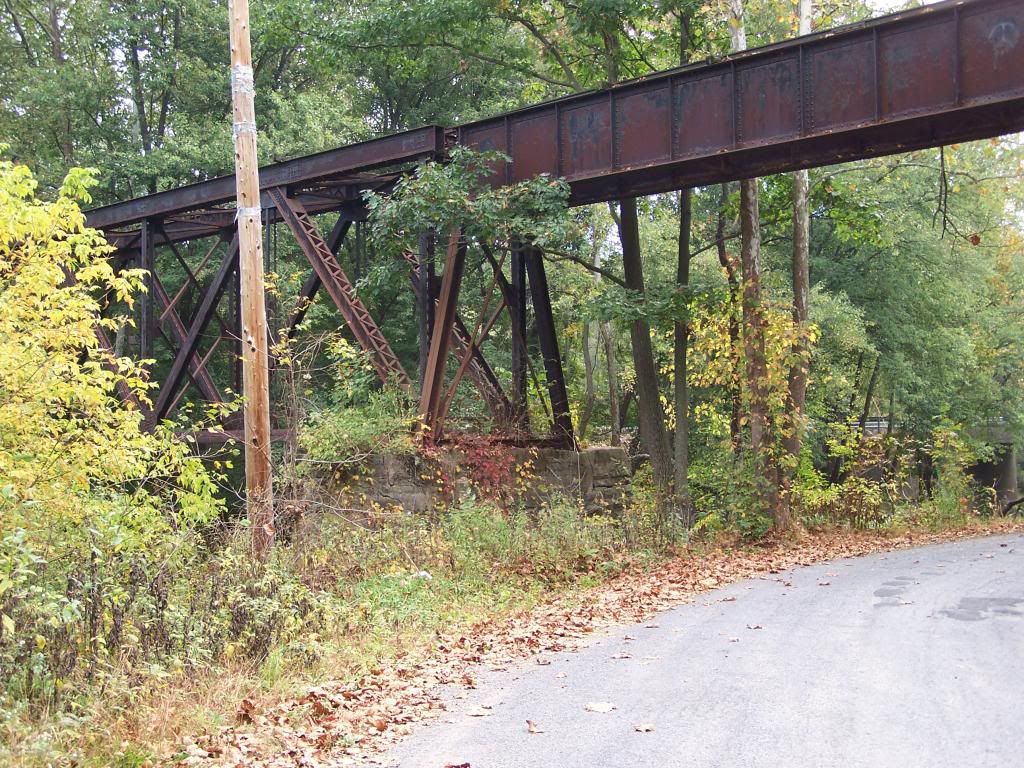
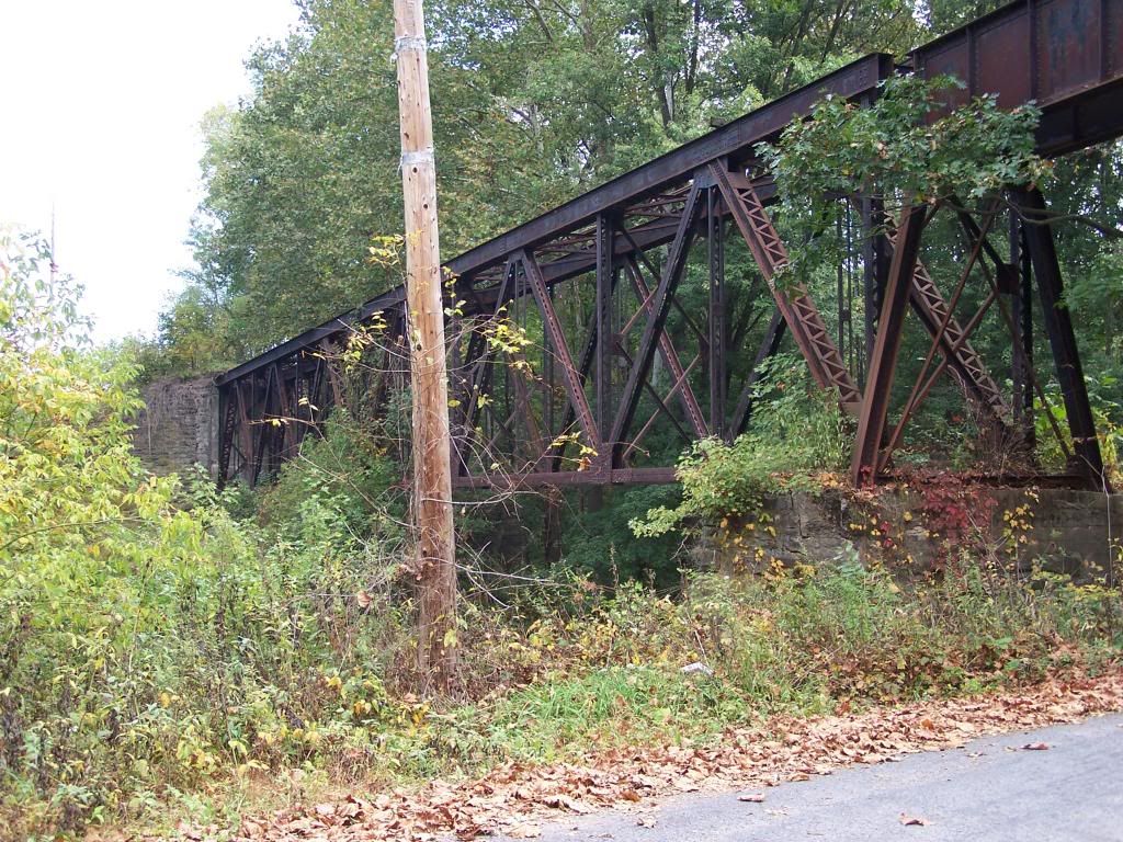
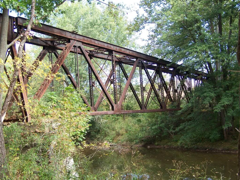
The road is paved but I don't know what the status was back in the 1920's which is roughly the time frame I'm modeling. The bridge as modeled has some differences with the existing but overall it certainly has the right look.
I took these back in Oct 2006.
Bob Pearson
BigBoy4014, and especially I, wish to apologize to Philip114 for stealing his thunder ... I really don't know who restarted this interest in remaking the EBT ... but we want Philip114 onboard, as well as RPearson, and any others who have an EBT interest.
It is said that no idea is truely original ... and is only an offshoot of something that you once saw someone else do.
Philip114 gave me some great ideas .... and has a caboose perfect for this route ... now it is time for me to give back to him, what I like to do best ... lay track and buildings.
Alot more work to do !

 This route is a lot of work from what I've read, very interested in your progress.
I think the RR will continue to sit in bankruptcy, and continue to rot, being vandalized by illegal scrappers, I think neither the State or Federal government cares much at present.
The RR sat in dormancy for 30 years, when its shop closed in the 50's ... and I suppose it will again sleep in deep hibernation for years to come.
If not for the the Kovalchick family, it would have never re-opened in the first place.


