Back to the op -
Phil as Cascaderailroad may have mentioned I've been working on several EBT routes over the years. None seem to get very far along. The current map has been wiped out a couple of times but I just run the image files thru HOG again and add in a trk file and take a little different approach. Though with Bendorsey's content available now and more coming I probably should be taking a more permanent approach to the route. That and the fact that I should have a lot more time available to generate my own content.
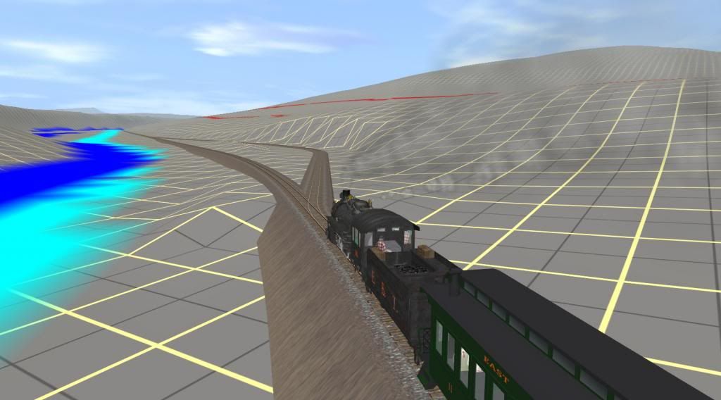
I also ran into some problems of cutting it too close to the track line in some areas and some ugly end of baseboards are glaring at me in some important scenes. It looks like you might have included the NARCO branch in your route. Since I'm currently modeling an earlier period I decided for now at least not to include it. I'm not sure how much I'll be modeling of the inclinded rr that was used before the branch was built. I might just fake it in as static scenery with the tipple set up as an industry to provide the ganister rock from the quarry on Jacks mountain. The siding that goes off to the tipple is shown in the last screen shot below.
Basically all the track indicated on the icc dwgs of 1919 is included in the route. Probably with options to select the branch(es) appropriate for the operating scenario/session you want to run. I've also included the South Penn extension that the EBT graded but never laid tracks on. Mine is fully tracked - a what if I guess. And I guess like everyone else I've included a good bit of terrain for future inclusion of the PRR mainline east and west of Mt Union.
The 3rd RR on the route is the McKelvey Bros logging rr which stretched from the interchange at Rockhill south to the Ft Littleton area. It was active for a few years in the the 1920's. I have a course indication of the main section of its route drawn in as a dotted line on the tiger image file I'm using. They routinely ran tracks up to wherever the timber was being cut. They ran 2 ng3' shays on the route. The original use of the timber transfer crane in Mt Union was of course - transfering timber/lumber from ng to sg flat cars. The creosote plant in Mt Union made ties for the PRR if I got it right. As I understand it was not serviced by the EBT and all track to it was sg. All input and output was handled by the PRR.
So the route has other operating possibilities besides coal mining and processing. The EBT's coal prep/cleaning plant in Mt Union is a fascinating story in itself. It used the Chance Process - a sand /coal/water slurry mix. To filter and clean the coal which was then sorted and sent to the appropriate tipple. Afaik almost all the rr's coal went thru it. With upper and lower ng and sg yards (and lots of dg too) and gravity powering the hoppers to and from the plant and across the scales it can be a showcase operating industry.
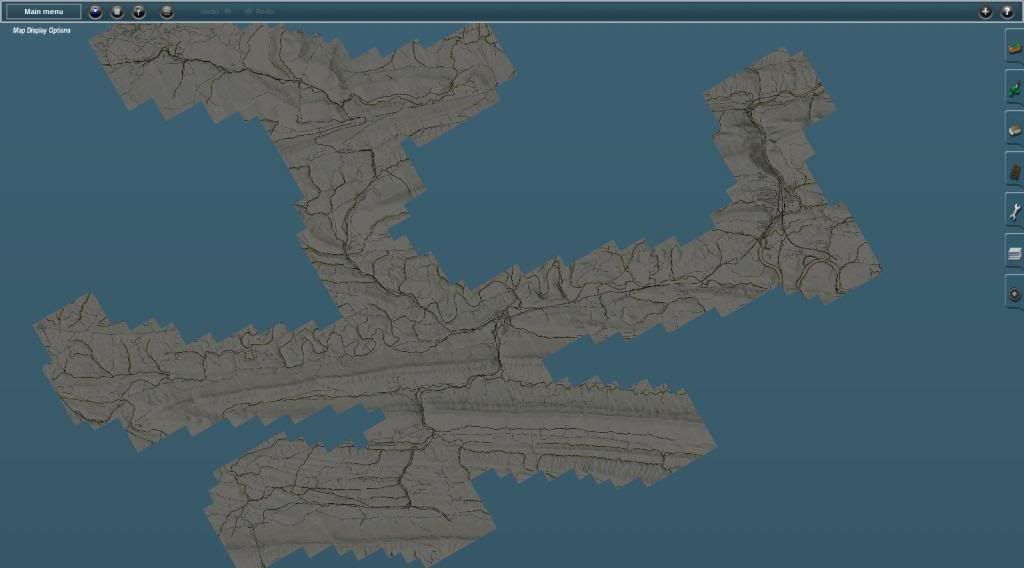
So here's a few pics from the current map including a couple mini maps shots. Clearly a wip. To kind of confuse things a bit North for the overall route screen shot below is to the right hand side:
Mini map view of entire map - so far:
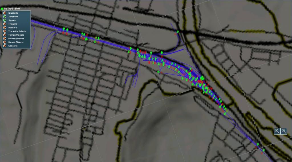
Mini map view of the track in Mt Union. When the dual gauge switch lever is used about 1/3 of the levers will probably disappear:
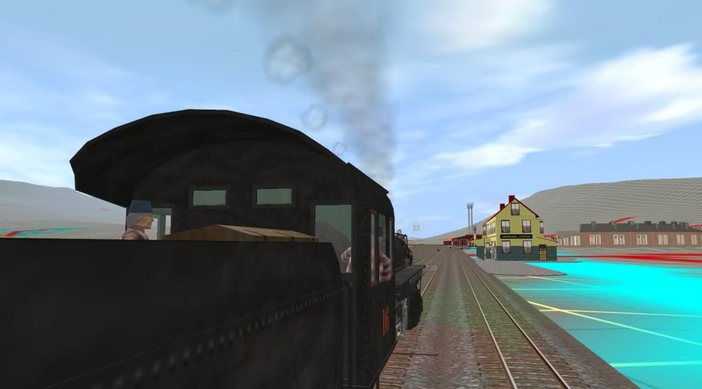
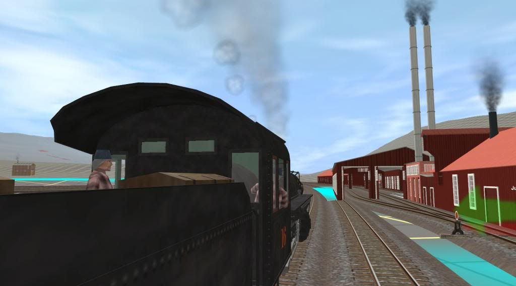
Approaching Orbisonia station and the shop complex at Rockhill Furnace - next 2 shots:
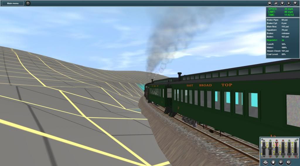
Cresting Jordan Summit thru a deep narrow cut. With T2 I hope they will include some better tools to form cuts like this which is too wide compared to the real one:
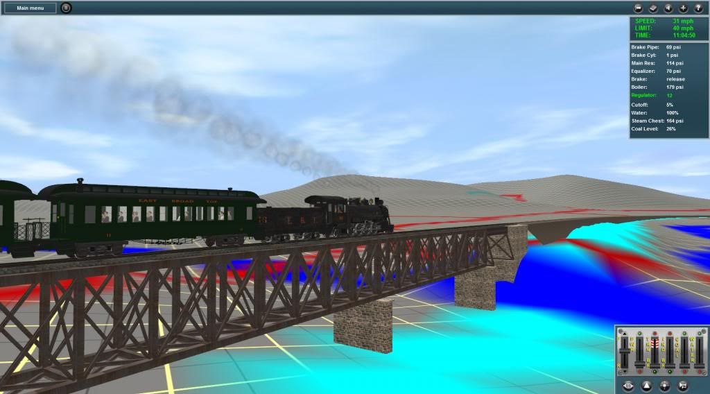
Crossing Aughwick Creek on the steel trestle bridge at Pogue:
Here's the siding to the inclinded rr located just (RR) south of Three Springs. The tipple at the lower end receives ganister rock from the NARCO quarry on Jacks Mountain:
Bob Pearson


