The email address on the website has been disabled due to SPAM. The program creator, Dr. Roland Ziegler (geophil), is a regular contributor here on the forums. You can PM here, and you can even post questions on his forum located on the TransDEM.
There are alternatives such as the old HOG (Hand of God), and Micro DEM, but TransDEM is the best. For about $26 USD, or whatever it is these days in Euros, it's a great investment.
I have used his program since 2011 and have had no issues with it. There's a bit of a learning curve, but with its multitude of options, you may find yourself only using a small portion of them.
With TransDEM, you can:
Import DEM data provided by national and private websites.
Place USGS and other topographic maps in place on the DEM data.
Place full imaged tiles in-place on the DEMs.
Lay track (path) along the ROW
Export the data as a Trainz compatible route that will import directly in ready for the placement of houses, trees, and other assets.
You can also export the route without track and lay the track yourself if you wish.


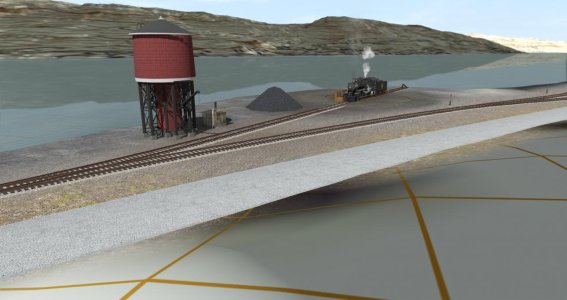
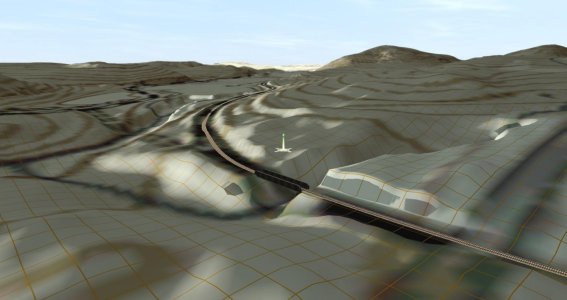
Here are a couple of screenshots of a route I'm currently working on. This is the NY & Greenwood Lake at Greenwood Lake, NY. The DEM data is current and the map dates back to 1944. Most of the line is gone today except for a short stub. The rest succumbed to two dams put in during the 1920s and 1930s.