O
Orloldman
Guest
Please excuse the lack of a location, or number of posts for me, etc. The Help Desk should be working on it.
I am just starting to get to know TS2010 and am developing my own route to work on.
I would like to model a specific region circa 1880-1900 and I will be using Transdem for mapping and elevations. The vector raster maps that I have been able to gather are dated from the early 1970s and the majority railroad right of ways shown on those maps are basicly the same ones that existed at the turn of the century in this area.
Where I have a challenge is that, as the cities at each end of the route grew, the stations were moved or eliminated and the tracks rerouted. Finding accurate city maps from back then that show where the stations were, and how the tracks were laid out, is going to take me a little while longer to find.
I would like to go ahead and get started, processing the information that I have now, getting the basic track down and learning TS2010 in the process.
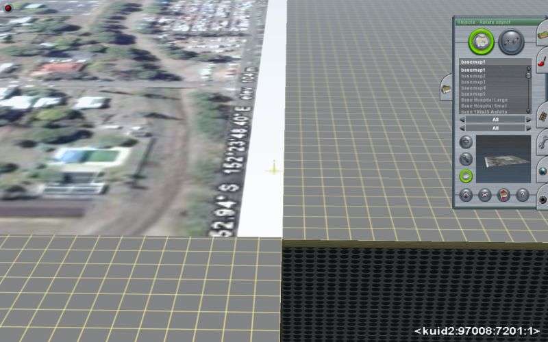
My question: Will I be able to pull scanned objects into my Trainz layout at a later date? For example, I find a section of a city map that I need (just the layout of the streets/tracks, etc), will I be able to scan that map and some how insert it into my existing layout to use as a reference for roads/tracks/buildings? Any special challenges in trying to do such a thing?
Any feedback is appreciated.
I am just starting to get to know TS2010 and am developing my own route to work on.
I would like to model a specific region circa 1880-1900 and I will be using Transdem for mapping and elevations. The vector raster maps that I have been able to gather are dated from the early 1970s and the majority railroad right of ways shown on those maps are basicly the same ones that existed at the turn of the century in this area.
Where I have a challenge is that, as the cities at each end of the route grew, the stations were moved or eliminated and the tracks rerouted. Finding accurate city maps from back then that show where the stations were, and how the tracks were laid out, is going to take me a little while longer to find.
I would like to go ahead and get started, processing the information that I have now, getting the basic track down and learning TS2010 in the process.
My question: Will I be able to pull scanned objects into my Trainz layout at a later date? For example, I find a section of a city map that I need (just the layout of the streets/tracks, etc), will I be able to scan that map and some how insert it into my existing layout to use as a reference for roads/tracks/buildings? Any special challenges in trying to do such a thing?
Any feedback is appreciated.
") }
}