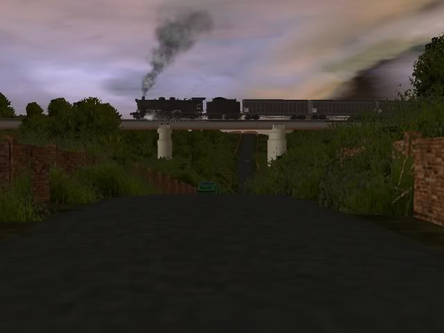
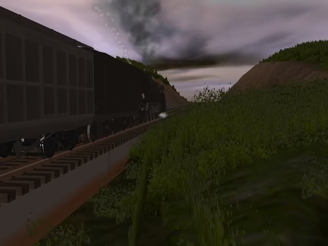
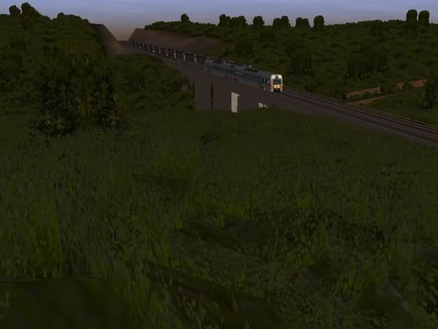
DEM data is real world height data, which is then put into a 'blank' TRS map to give you a reasonable representation of a real location's geography (Mountains, valleys, that sort of thing). I'm pretty sure the program you use to do this, is also used to put the lines onto a map. I think it's called 'TransDEM'.
Zec
Zec


