Australian screenshots

Some absolute works of art being posted here. Well done guys... simply awesome stuff!! :) Really loving the atmosphere of the last few pages!!

Lets take things away from the eastern seaboard eh... back to SAR steam days...


Last edited:
More work on my NSW based Route

Hey Everyone,

Been doing a bit of texturing and Planting :D
Also purchased the Intercity V Sets and sent them on a trial...

IntercityVset32-2.jpg


IntercityVset32.jpg


IntercityVset58Bell.jpg

A passenger about to board the train

WorkersArea.jpg

Workers in the track yard at Bell

Cheers

David
 
Just wanted to say thank you very much Petan for the WP&S for the entire original (Beenleigh and south) South Coast Railway. A fascinating read. Next time I'm down that way, I'll certainly be keeping an eagle eye out for traces of the original alignment other than the landmarks that are still in place (Pac Hwy bridge, Currumbin Ck, etc).

Ryan

Thanks Ryan :)

Time to play "what if".. which means I have found a way to plan and build a station that was never built but the site had been proposed. Thus you are free to "do your own thing" without any experts saying you are wrong...

I found a reserved but not built station site on Working plans and sections [WPS] SCL B-N&S s4 Ormeau north http://www.4shared.com/photo/iBy2pbqb/SCL_B-NS_s4_Ormeau_north.html

The Working plans and sections [WPS] [SCL B-N&S s4] show a “Planned station” site 29 mile 70 chains from South Brisbane and 20 chains south of Bridge Creek. A comparison of the rail route on both the WPS and the Ormeau 1980 map shows the proposed location of the station site north of where the line crossed Goldmine Road. The Ormeau 1980 map has a railway location marked there in a similar manner to the markings used for the Steam era Ormeau railway station site. The general lack of mention in rail historical literature suggests it did not progress past the planning or reserved land stage. The planned station’s Google Earth co- ordinates are 27°46'33.55"S 153°15'26.23"E

Since railway stations and routes generally were built as a result of perceived needs or pressure from groups such as politicians, landowners or chambers of commerce, it would be assumed that the local arrowroot, sugar, dairy or timber interests desired the rail infrastructure. Maybe you can give them a Trainz station of your own design??? Size, era, industries etc all free for you to choose !!!!

Ormeau map 1980 http://www.4shared.com/photo/KVFwA7hK/Ormeau_1980.html

Cheers
Peter C
 
Last edited:
Nothing short of amazing guys. The V-set photos are sweet. It really looks like a typical track side scene in Sydney.

And Forest runner your shots are magnificent buddy. Wow.

Hey Trainman, it's a WIP at the moment. I'll be uploading it within the next week to the DLS :)
The disused mining branch between Yuluma and Cullivel has now been added. Most of the old mining branch has now been lifted.

The line spurs from the main line and into the bush.
dimi_108_20120320_0004.jpg


The remaining line still has the timber sleepers intact from the early 1900's but is now barely visible due to the overgrowth.
dimi_108_20120320_0003.jpg


Several hundred metres past the bush is an open area.
dimi_108_20120320_0010.jpg


The lifting is now in progress and removal of the rails has commenced.
dimi_108_20120320_0011.jpg


A further hundred metres or so and the line ends at the old mine.
The loop is still visible but the rails have sunken.
dimi_108_20120320_0012.jpg
 
Last edited:
Petan,
Just did a bit of a look around on GE and with a little help from the missus. I think (and this is just supposition and guess work, I am no expert) but what we found is that the modern line opened in 1996 with feasability studies done in 1983. Parliament announced commitment to project in 1988. What is possibly shown there is the old alignment from when the line went to Southport aka in steam days which I confirmed for myself from memeories of what I was told by older driver and looking down on GE. If that is what you are pointing out then please TOTALLY disregard this post and go back to normal programming.
Glen:o
 
Petan, Just did a bit of a look around on GE and with a little help from the missus. I think (and this is just supposition and guess work, I am no expert) but what we found is that the modern line opened in 1996 with feasability studies done in 1983. Parliament announced commitment to project in 1988. What is possibly shown there is the old alignment from when the line went to Southport aka in steam days which I confirmed for myself from memeories of what I was told by older driver and looking down on GE. If that is what you are pointing out then please TOTALLY disregard this post and go back to normal programming. Glen:o

Glen, I detect a sign of an historical researcher in you and your wife. Sue and I found it is a good excuse for a trip out with a picnic basket :D:D

In the area of the **1880s** planned station north of Goldmine Road, both the original and present day track locations would be extremely close to each other and that would be the case for almost all of the route from Beenleigh to that "planned station" spot, apart from a few very minor variations. The present day route really only started major changes south of Goldmine Road.

In that "planned station" area, pretty well all the old alignment would have been either covered by the present day line or altered by the heavy construction traffic building the present day line. There is an electrical feeder installation for the new line 300 meters north of Goldmine Road and that would require a maintenance access road besides the tracks. My understanding is that there is an access road/path alongside modern train lines in non town areas anyway.

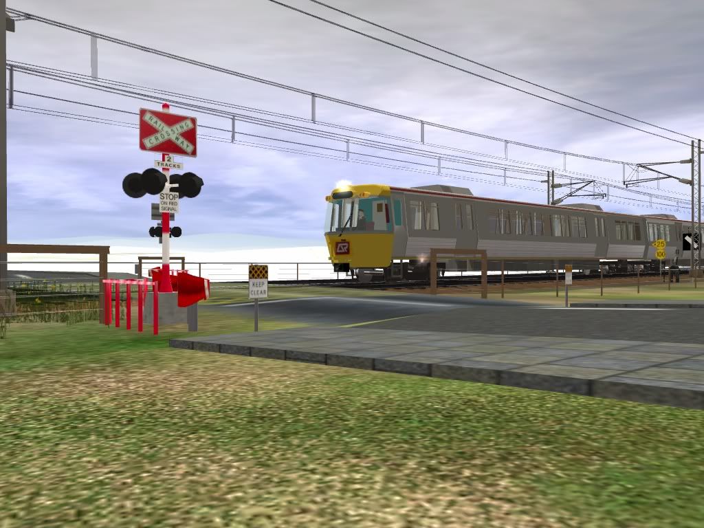
[Side topic; Do trainz people include these access roads?]

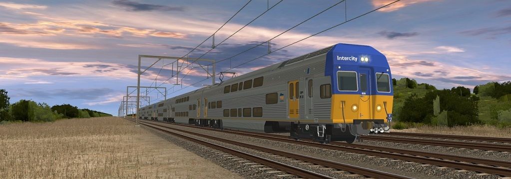
Because the old and present routes are very close in that area, the Stapylton Pacific Highway Bridge, road over rail, in the steam train era, is still in use for present day rail and road traffic as “Eastern Service Road, Stapylton”. 27°44'29.25"S 153°14'2.12"E In fact it was still the southbound highway bridge till about 2000 when the new motorway bridges was built. There is a 1964 steam train picture as well as my electric train picture of trains under this same bridge.

PB 15 #5 hauls a train from Southport under this bridge 1964 [E.Marggraff] http://i311.photobucket.com/albums/kk478/petanoz/StapyltonrailbridgePB15.jpg
Modern electric train passes under same bridge 2011 [P.Cokley] http://i311.photobucket.com/albums/kk478/petanoz/StapyltonrailbridgeSmall.jpg

Those trying to figure out what was original and what was a later alteration on those "Working Plans and Sections" may be interested in knowing alterations to the WPS are shown in red pen or pencil eg at Nerang the sawmill siding and Nestle factory alterations are shown in pencil or red pen on http://www.4shared.com/photo/5gnrRSw4/SCL_N-C_s1_Nerang_Station.html If you compare the Nerang alterations with how the planned station is shown on http://www.4shared.com/photo/iBy2pbqb/SCL_B-NS_s4_Ormeau_north.html you will see that “Planned station” site 29 mile 70 chains from South Brisbane, was part of the original 1880s track plans.

My original point was there was a station site that was never built so we can do a Trainz station there of our own design and no self appointed "nit picking rivet counter" can tell us we are wrong
:hehe:
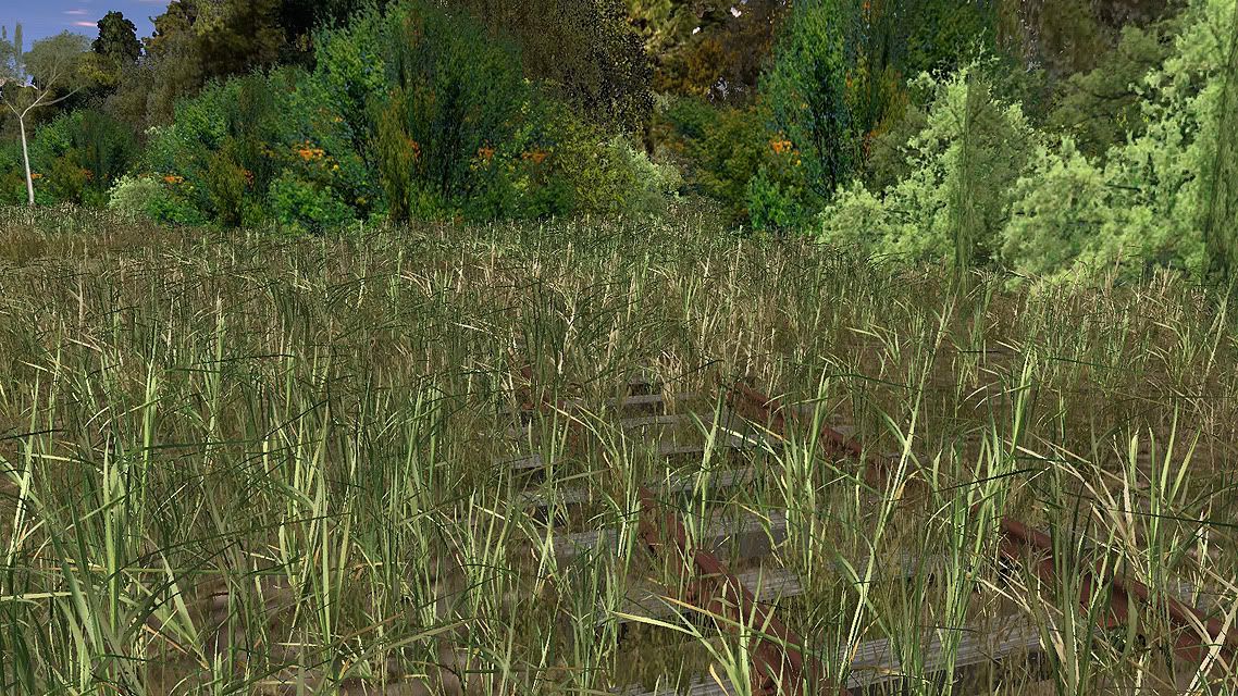
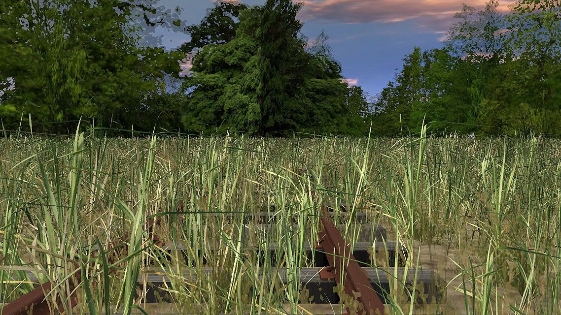
 
hi peter

i dont put the access road in on the old route
i dont think they had them in the 50's
i could be wrong though.

the 4shared links want me to join up to see the stuff

is that the way it should be?
i'm getting sick and tired of having to join everything and having to allow their snoop programs just to get what i need

i run noscript in firefox
its a great help to stop unwanted stuff coming in

thanks
ron
 
I have gotten the TGR M/MA class locos from Steven Richardson (just a matter of talking to the right people at the right time), and he may have already given permission for them to be released, but I am confirming that I read it right. They are TRS04/06, and are NOT going on the DLS. If he finds out people are making money from them, he will remove them once again.

Here is what he said:
Hi Callum,

My apologies for never replying to this but I have arranged for the installer files for the M and MA Class to be put at this site for download (free for anyone who wants them). (I am making sure he has allowed them to be released. Can't be too sure)


*link removed until permission is given for public release. (I still hold the link)* (24.7Mb)


The passwords should be in there as well. REMEMBER these were made for Trainz 2004 and I think they still worked in 2006 but I'm certain they won't work in the latest versions of Trainz. They also used the Auran fireman, who would shovel coal into the firebox. People had to download him from Auran but I still have the files if you can't find him anywhere.

It would have been nice for them to be updated and improved to work in the new versions of Trainz but no doubt that would be a lot of work.

Let me know if there are any problems

Steve


EDIT*******www.modapl.com.au/trainz/M-MA_Locos.zip I got the ok, they are in setup files, just install to desktop and in CM, go File, Open Content. Select the folder you put them into if you did, otherwise, just go desktop.
 
Last edited:
i dont put the access road in on the old route
i dont think they had them in the 50's
i could be wrong though.

the 4shared links want me to join up to see the stuff
thanks ron

Hi Ron, like you, I think the access road is a modern thing. In the old days government railways had their own rail mounted cranes and train repair crews that went by special trains to derailments so did not need the access side roads. Modern railways hire repair cranes that travel on roads so need access side roads.

Those links are on the same site you used to download that material I sent you privately on the weekend so it should work the same way WITHOUT joining up or signing up. I think they are just trying to push some advertising.

Cheers
Peter C
 
:wave:Hi Callum

Thanks for the link to the TGR M/MA class locos all are now installed and error free in TS12


Poul
 
Hmmm - well, its that time again - bored and looking for ideas....

So I started fidling...obviously, a very much WIP...


muliebuck201203210002.jpg


muliebuck201203210001.jpg


muliebuck201203210004.jpg
 
Last edited:
@Forest - you never fail to do something different, Spectacular screenshots! Can't stress it enough! :D

@Mulie - Now your texturing looks like mine! :p 
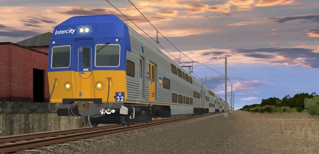
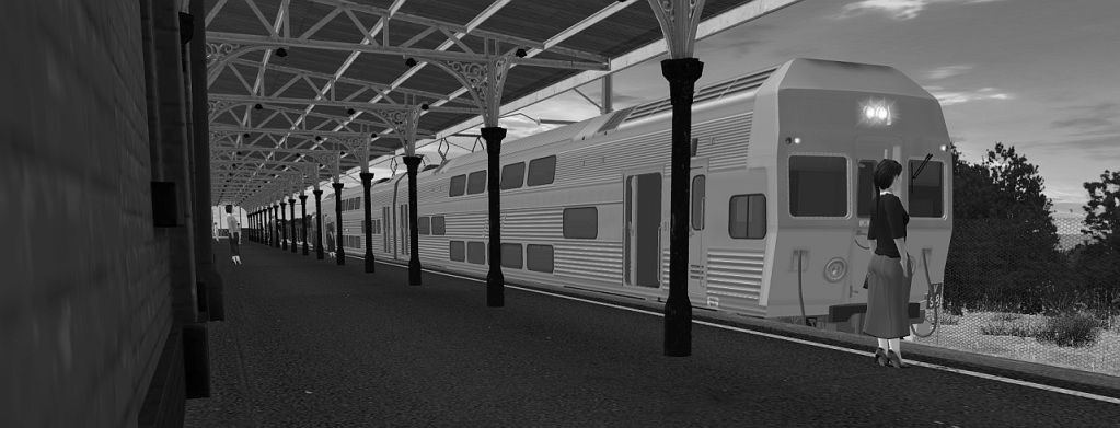
Can't wait for more! :D

@Dimi - May I suggest the UltraGrass versions of what you are using there? They are the same but less... there...

Really impressed with what I'm seeing! Keep it up guys! :D

Cheers
Stevo
 
This Train Stops All Stations To Rosewood; The Next Station Is Rosewood

Hello Everyone,

@Petan, thanks for the information. Very interesting; and very useful for my South Coast Railway project.

Some Progress shots of the Rosewood section. Getting textured and et el al.

Rosewood
trainz89_20120321_0004.jpg


trainz89_20120320_0001.jpg

trainz89_20120320_0002.jpg

Outside Rosewood

trainz89_20120320_0003.jpg

Thagoona
trainz89_20120321_0006.jpg

trainz89_20120321_0008.jpg

1275 On a Return ARHS Return of the 1270 class special

trainz89_20120321_0002.jpg

Kindest Regards
Michael Gitsham
QHR Commissioner Of Railways
 
Just a little something I threw together, Bill was kind enough to pass along a neat new toy, and I just *had* to find a way too use it...and so I did...

Additional: These are 'older' WIP screenshots, more eye-candy and some tweaking has taken place since, but the 'basics' remain the same.


muliebuck201203210008.jpg


muliebuck201203210009.jpg


muliebuck201203210010.jpg


muliebuck201203210011.jpg


muliebuck201203210013.jpg


muliebuck201203210014.jpg


muliebuck201203210015.jpg
 
Last edited:
Back
Top