Your Map Progress Pictures

Crossing the Bridge..

Bobcass_20110119_0007.jpg
 
Ok, Now I'm drooling. Nice work.

Much obliged.

I'm experimenting with different bridges/support(S), not to mention resolution.

tomahawk368201101200005.jpg


tomahawk368201101200006.jpg


The Southern bridge is proving to be a doozy. I'm still trying to find a decent pedestrian bridge to sort of "kit bash" with the existing girder bridge.
 
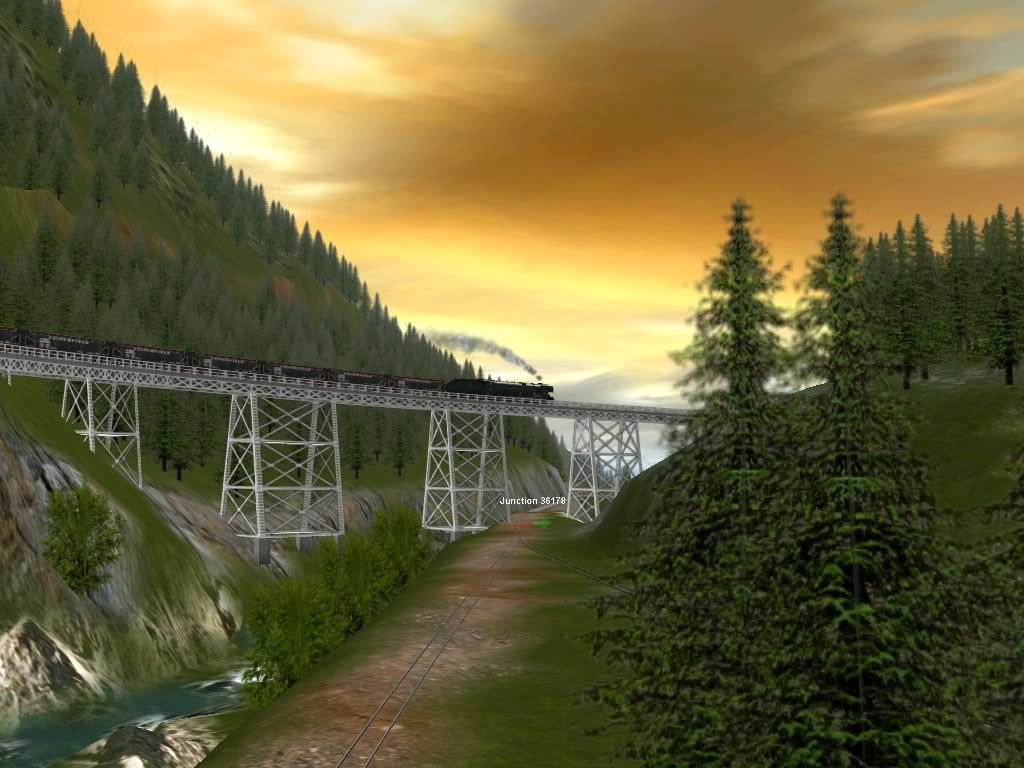
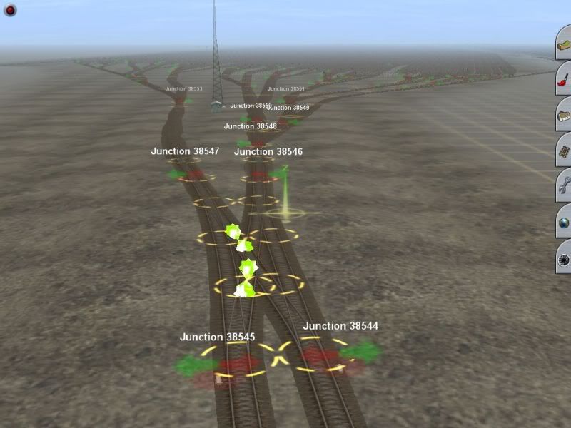
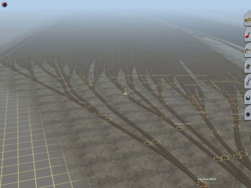
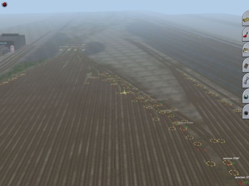
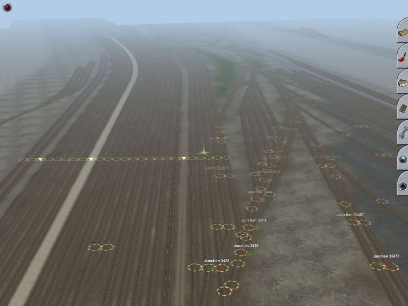
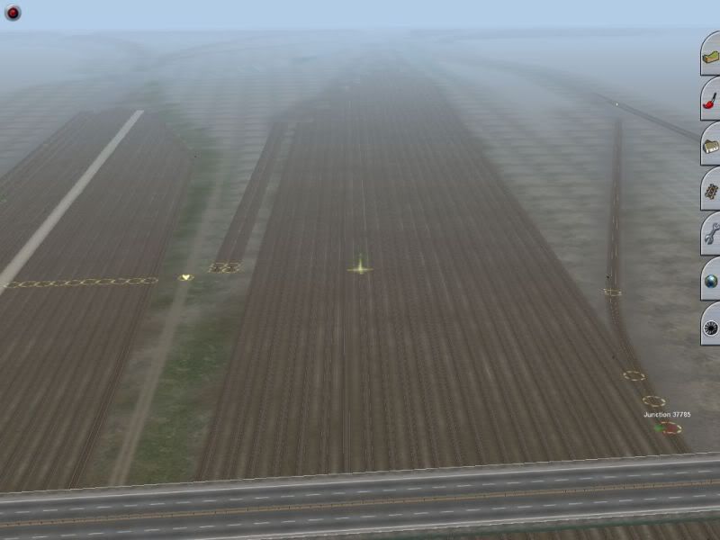
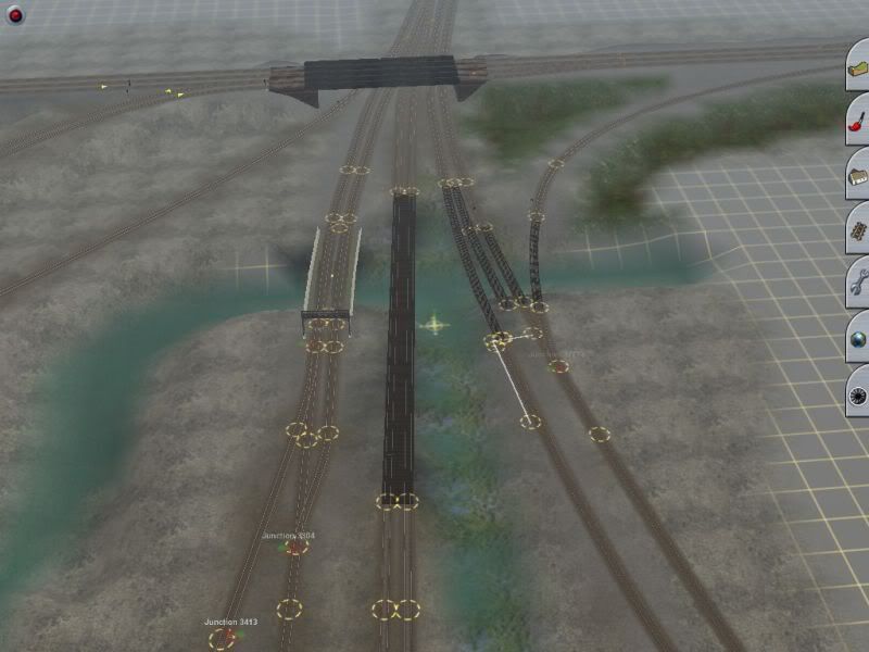
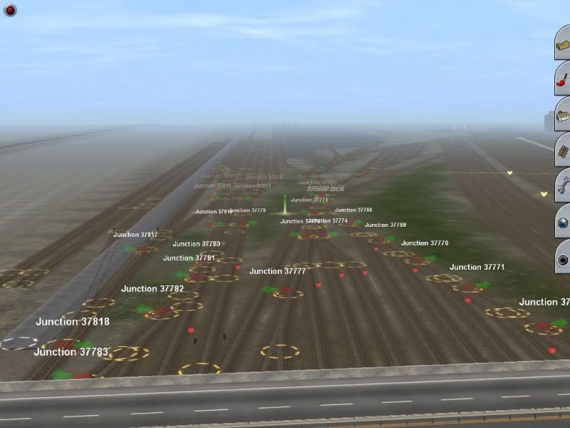
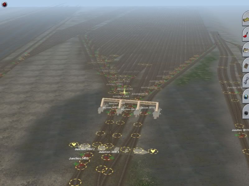
Some screens of PROVISO not perfect but it was tedious non the less
Shots are from west to east
Screen_108.jpg


Screen_109.jpg


Screen_110.jpg


Screen_111.jpg


Screen_112.jpg


shots east to west
Screen_113.jpg


Screen_114.jpg


Screen_115.jpg
 
Oh lord, so many switches...so many levers to replace

Ya its a big route so far nearing 6800 JUNCTIONS! according to trainz map.
But I have been adding various jct stands to all of them...
2 more yards to go and on to finishing up the scenery.........
The route looks and runs well better than the screen shots show..........
I am curious is theyre a way to check how many boards besides hand counting em?

I was going to say, that must have taken a long time to make! The first thought that entered my mind was that, while accurate, there would be no way of ever getting that yard full and working in trainz unless you were okay with a slideshow. You'd have to use very low poly engines and rolling stock and even then, sparsely. With AI that's going to be even more taxing but hopefully, you can make it work out.

I don't think there is a way to count baseboards, but I suppose you could estimate by counting the width by the length of your route.

:wave:

Gisa ^^
 
Trying this for the first time.
An older route I started a while back and just found again. I re-did this plan for 2004 and put it up over at TPR. I used this one to test some textures I made and thought I would finish it using only built in content from 2006, aside from my textures, and see what it wold look like. Gives me a break from a longer route I'm throwing together.
a216f4107135c992b2b9a1c861a1cba7.jpg
 
Last edited:
quick suggestion:
Shouldn't the piers on your truss bridge be in at the end of each span?
Also harpers ferry has a double track station last time i checked, was it single track before CSX?
Looks good anyway, i was going to give that area a go a while back, but i couldn't find a tunnel that would look realistic, theres also literally millions of trees to plant.
 
I dont know mostly what ya sayin about that area but will say depth perseption on trees is most of us hit or miss on routes being 99% miss
 
I haven't gotten to the station, yet. But I will add a few platforms.
As for the piers, I will go back and make a few "tweaks" when the time comes.
I'm not even going to use that many nor that type of pier, they're just momentary stand-ins.
 
Back
Top