Install the app
How to install the app on iOS
Follow along with the video below to see how to install our site as a web app on your home screen.
Note: This feature may not be available in some browsers.
You are using an out of date browser. It may not display this or other websites correctly.
You should upgrade or use an alternative browser.
You should upgrade or use an alternative browser.
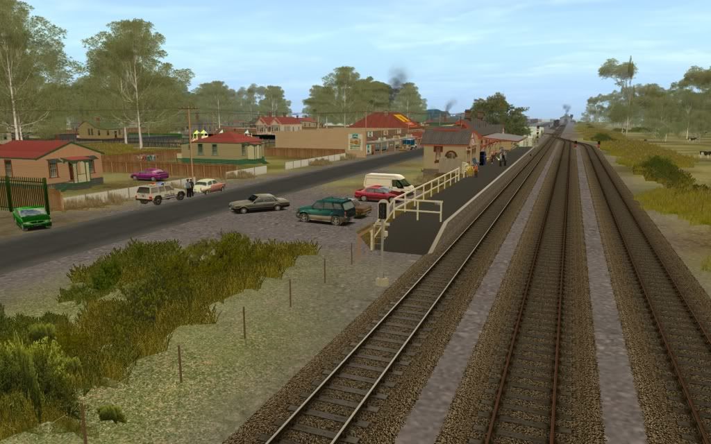
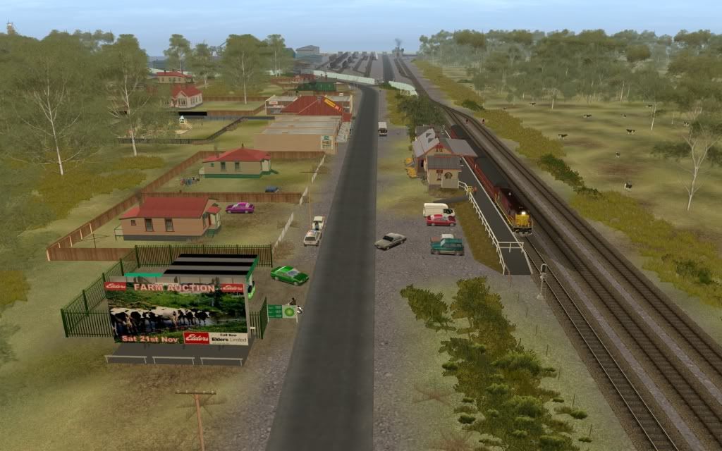
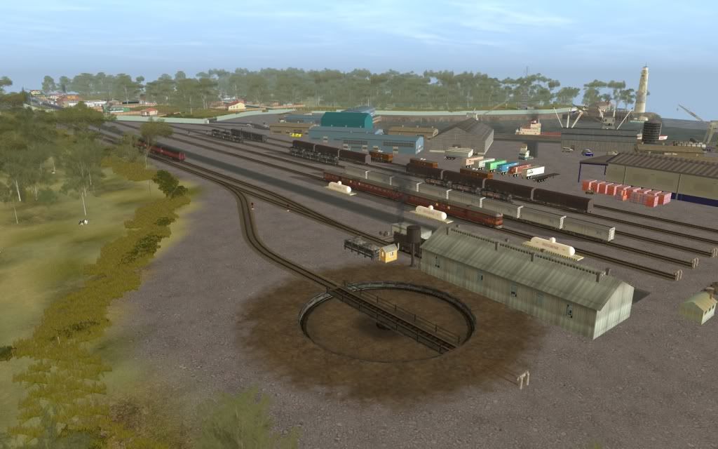
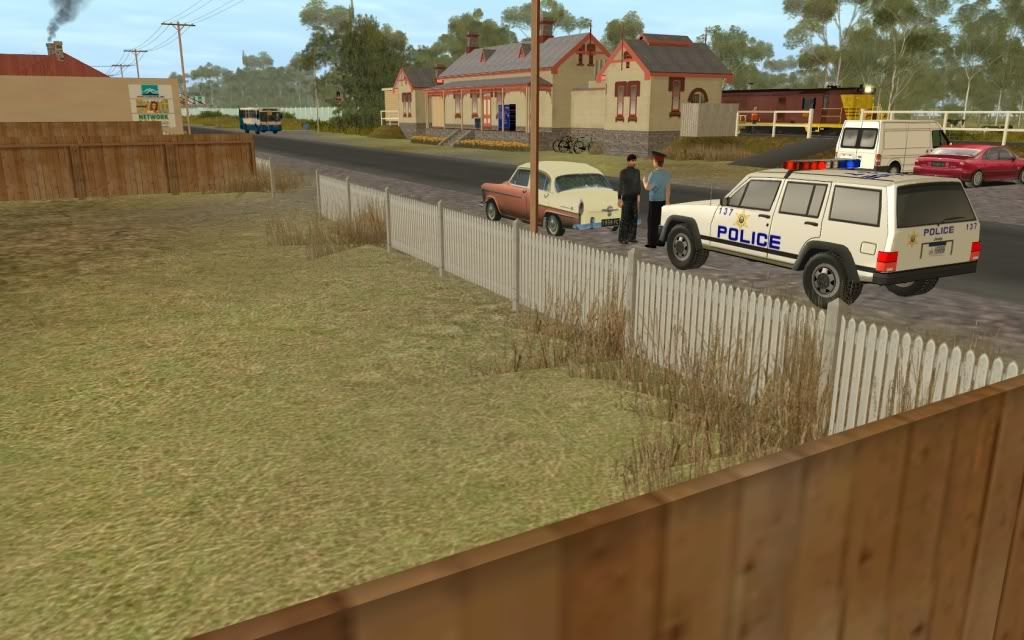
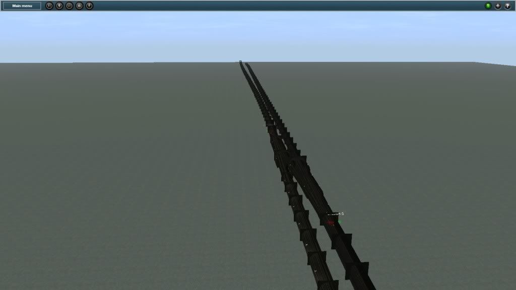
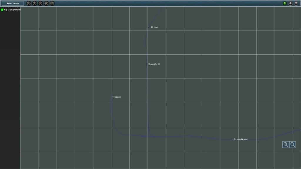
Your Map Progress Pictures
- Thread starter bigboy4010
- Start date


AndrewLummis_99
Member

")


Time for a bump I think. ")
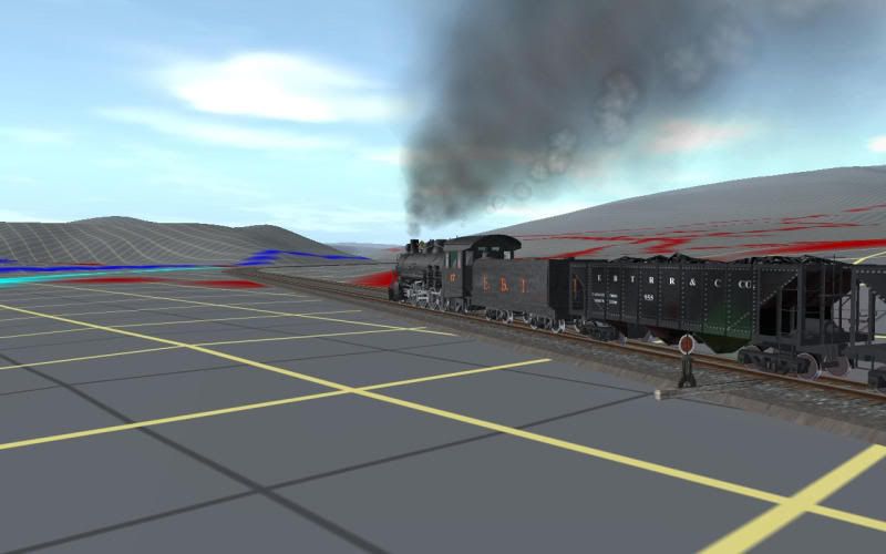
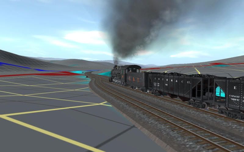
I've started working on this route again after a few years of inactivity so I guess it's on topic.
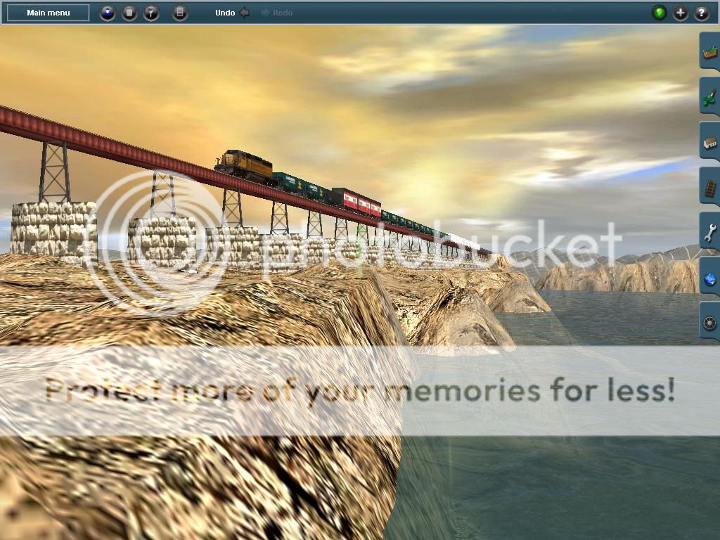
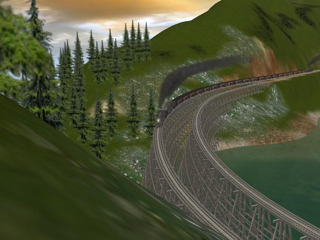
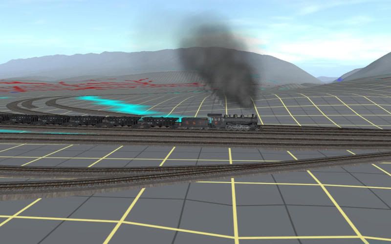
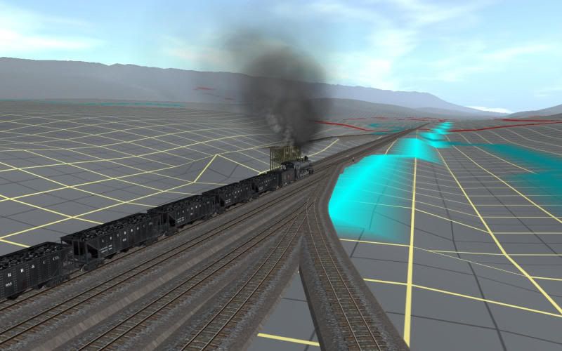
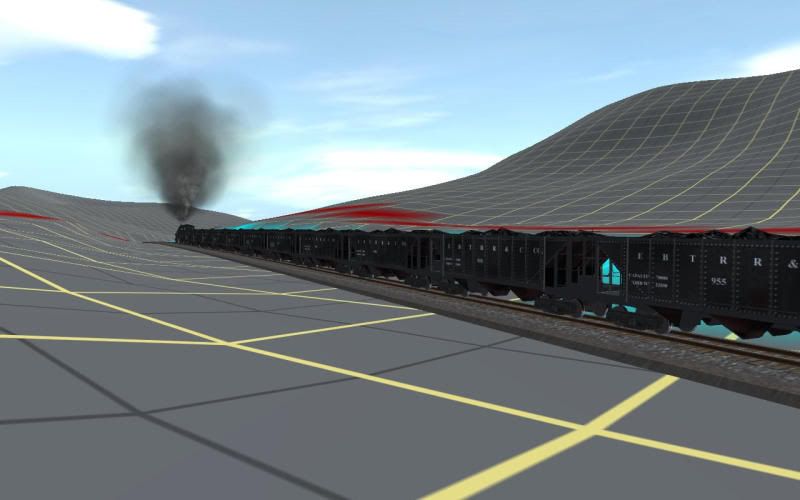
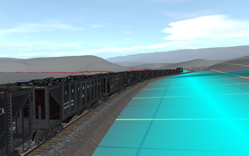
Here's south bound No 17 with a train load of coal. Actually loaded hoppers went north bound from the mines to the coal prep plant where it was cleaned and sorted. South bound was mainly empties retuning to the mines. Only a few went south with clean coal for the railroad's and the coal company's own use and local distributers - never a whole train load.
But what the hey here goes:
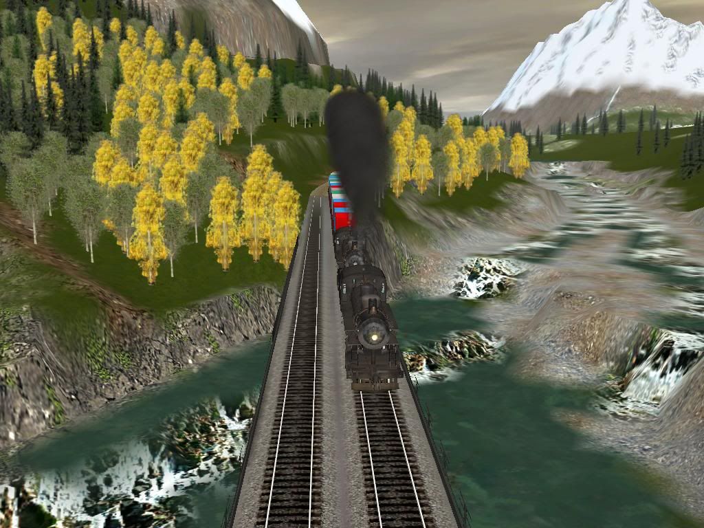
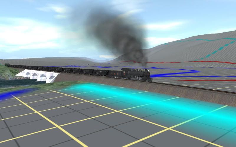
Crossing Aughwick Creek on the concrete bridge north of Shirleysburg
On the "S" curve at the north end of the long fill. Runk road overpass just ahead.
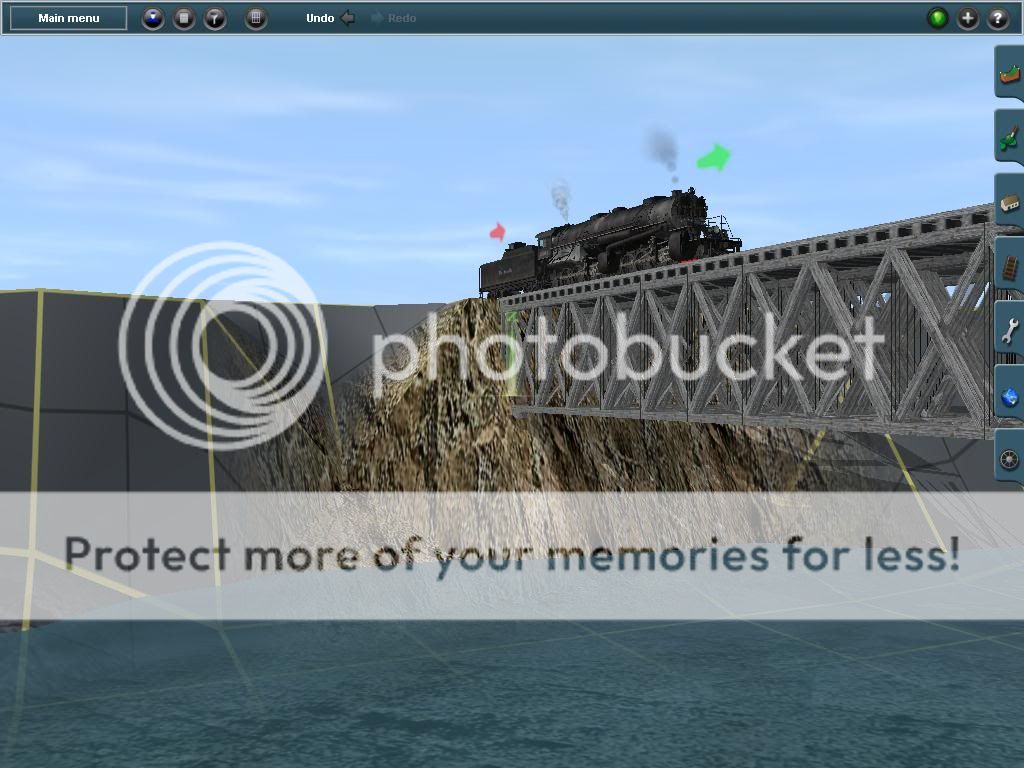
Cresting McMullen's Summit
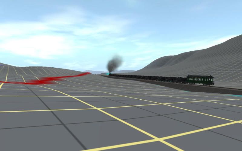
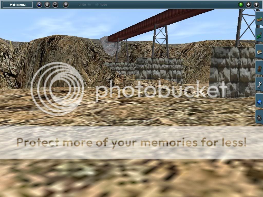
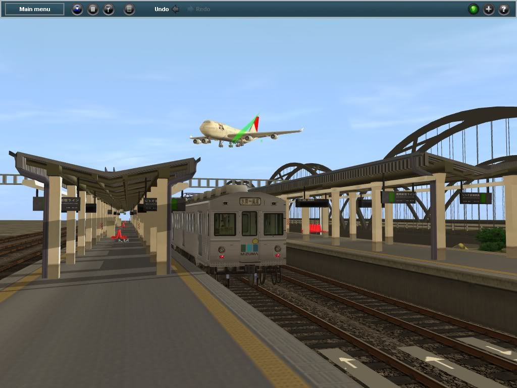
The yard at Orbisonia - looking towards Blacklog Narrows and the Shade Gap branch.
Leaving the south end of the yard at Orbisonia
Cresting Jordan Summit
Descending into the Aughwick Valley at Pogue - looking back at Jordan Summit
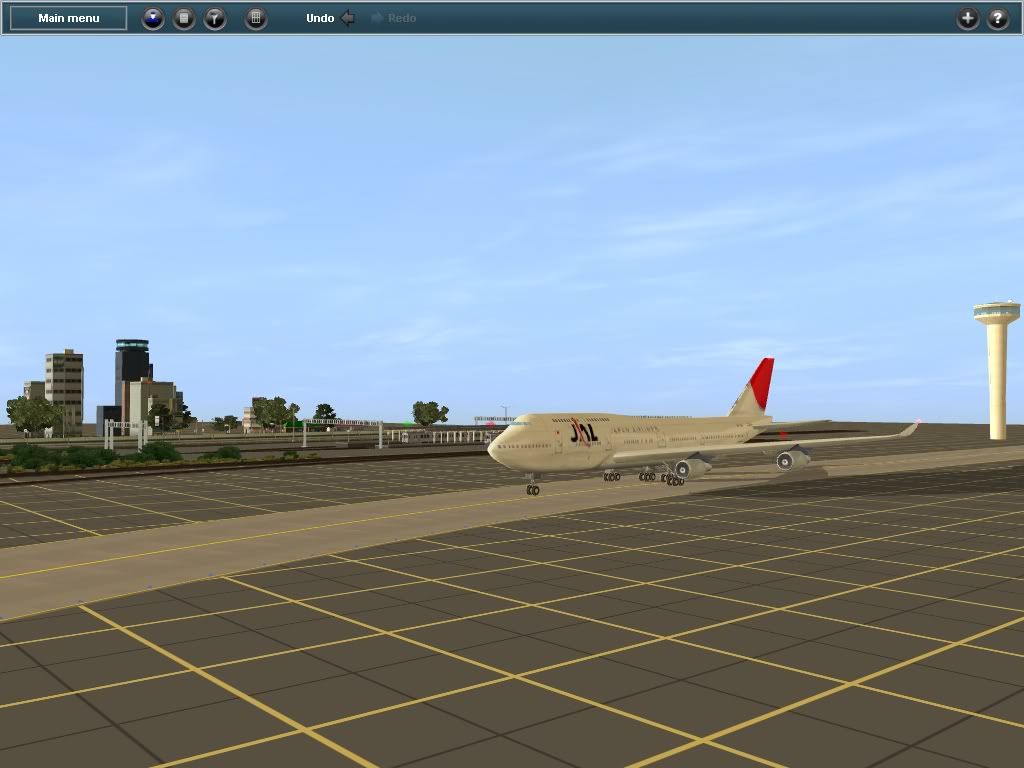
The siding at Three Springs
The sidings at Saltillo
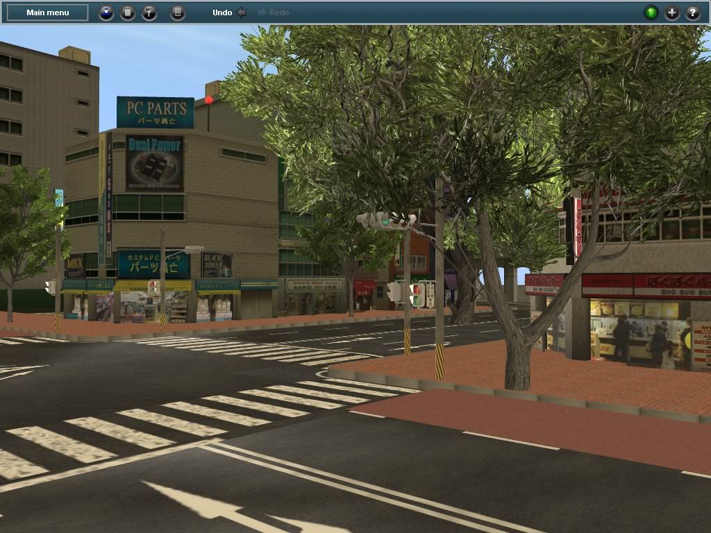
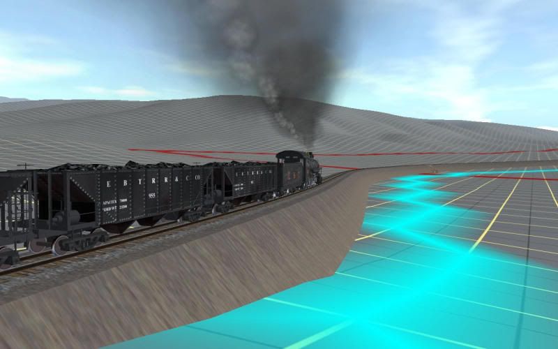
Ahead the grade changes to 2.6% and the 4 mile assault on Sideling Hill begins in earnest. But that will have to wait as No 17 with this load stalls out on the grade just south of here.
Bob Pearson
I've started working on this route again after a few years of inactivity so I guess it's on topic.
Here's south bound No 17 with a train load of coal. Actually loaded hoppers went north bound from the mines to the coal prep plant where it was cleaned and sorted. South bound was mainly empties retuning to the mines. Only a few went south with clean coal for the railroad's and the coal company's own use and local distributers - never a whole train load.
But what the hey here goes:
Crossing Aughwick Creek on the concrete bridge north of Shirleysburg
On the "S" curve at the north end of the long fill. Runk road overpass just ahead.
Cresting McMullen's Summit
The yard at Orbisonia - looking towards Blacklog Narrows and the Shade Gap branch.
Leaving the south end of the yard at Orbisonia
Cresting Jordan Summit
Descending into the Aughwick Valley at Pogue - looking back at Jordan Summit
The siding at Three Springs
The sidings at Saltillo
Ahead the grade changes to 2.6% and the 4 mile assault on Sideling Hill begins in earnest. But that will have to wait as No 17 with this load stalls out on the grade just south of here.
Bob Pearson
Last edited:

MrScott2006
Banned
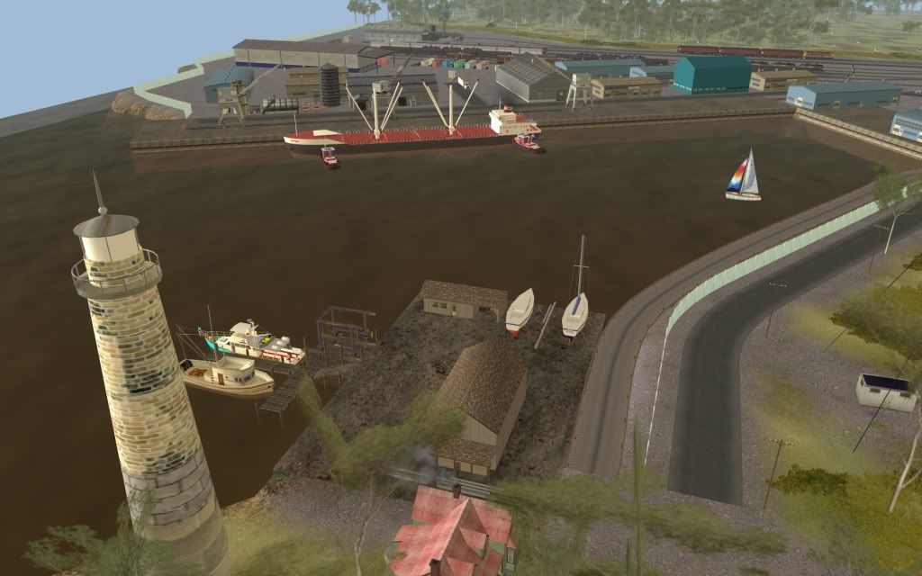
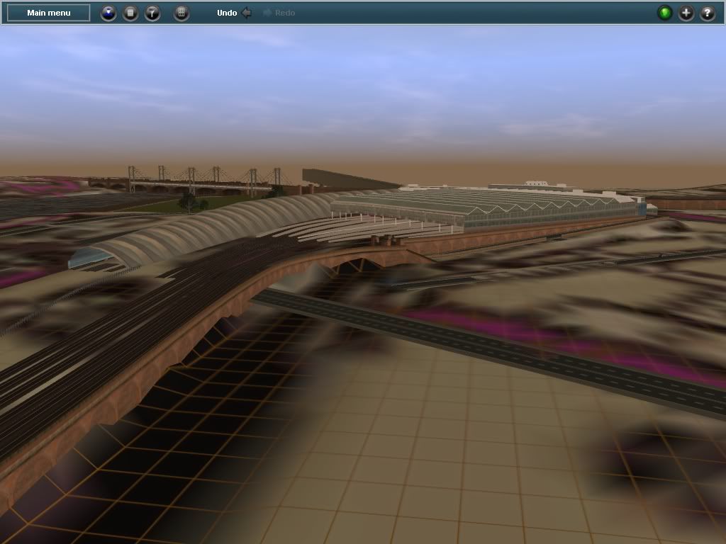
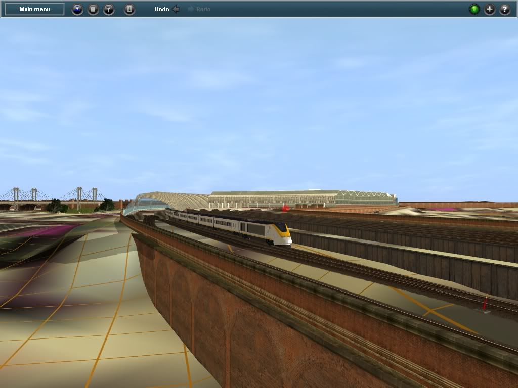
After giving it much thought I decided to re-start my Laurel Line project. Here are the first screenshots.


Similar threads
- Replies
- 3
- Views
- 744
- Replies
- 4
- Views
- 489
- Replies
- 0
- Views
- 732