Why no "Smooth Terrain" tool in TANE editor?

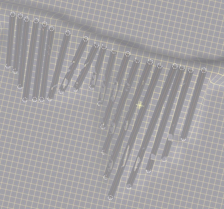
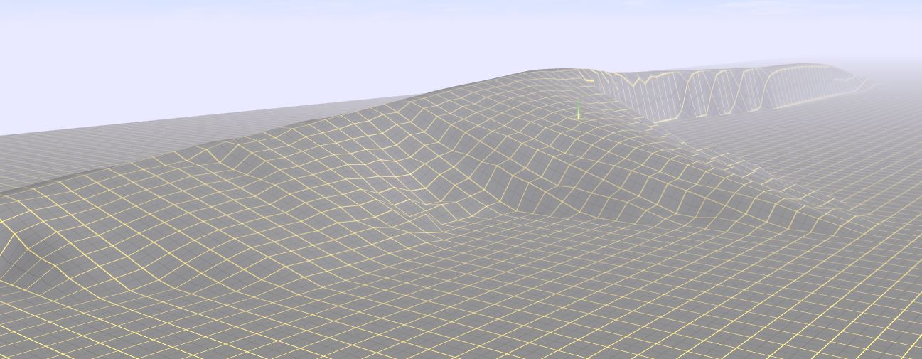
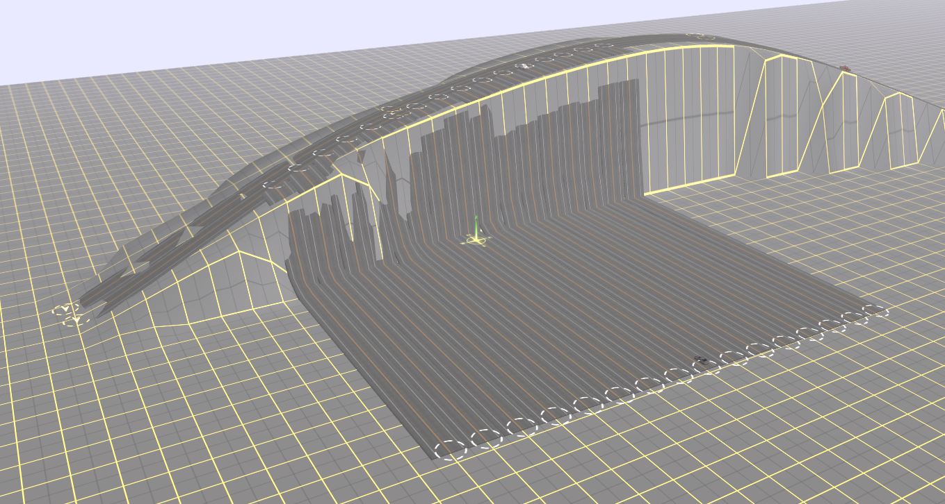
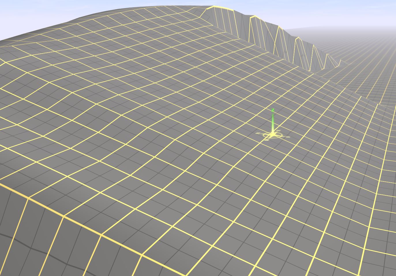
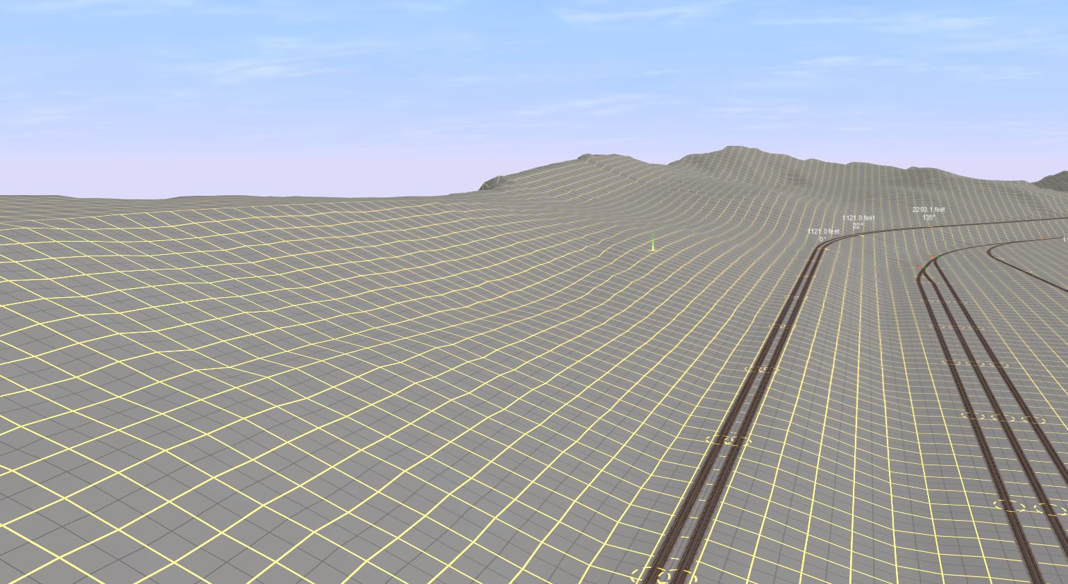
There is an extremely useful "Smooth Terrain" tool in mobile Trainz 2 but none in the surveyor of TANE. Why? Without the Smooth tool, there is no possibility to create realistic-looking yet decent-sized hills.

Is there any way to smooth terrain? Any mod or plugin that adds the tool?
 
Last edited:
a822a5b478e2e036f7ef9c00a9ea7bd5.png


right under sensitivity dial.
 
Is there any way to smooth terrain?
There are two ways to do that.

One is with the 'Plateau' tool. It adjusts the terrain to the level where you first clicked the mouse button. The amount of adjustment is set by the sensitivity tool. This can become boring for large areas, but is very easy to use to remove cliffs and peaks in smaller areas.

The other is to use a flat (all mid-gray) height contour map and apply it to a selected area. This area must be rectangular. There is a sensitivity adjustment for this effect, as for the Plateau tool. You may need to undo and repeat this application to get the sensitivity correct, as it is often difficult to predict how much to use.
 
a822a5b478e2e036f7ef9c00a9ea7bd5.png


right under sensitivity dial.

No. The plateau tool is insufficent as all long slopes become untidy and ugly.

The "Grade" tool of mobile allows one to copy the terrain slope of the place clicked while the smooth tool is a weakened version of it that constantly reads the local slope, allowing for large, smooth hills to be created.

Absolutely NO WAY to do that in Tane. Really stupid non-feature.
 
Hello,

When I create mountains, hills, and slopes, I generally use a spline like a road to make them. Roads are great for modifying the terrain.

To start lay down some road,

Mountain Building 01.JPG


Make it contour how your mountain range should look,

Mountain Building 02.JPG


Raise the joints to the desired heights,

Mountain Building 03.JPG


Then use the 'Smooth Spline' tool to raise the land below the road,

Mountain Building 04.JPG


Delete the road and then add roads from the side to create the slopes, hold the shift key so the splines do not attach to each other

Mountain Building 05.JPG


Use the 'Smooth Spline' tool and going from one end to the other click on each road once, then delete the roads

Mountain Building 06.JPG


Took me less than a minute to make that, and it looks realistic.
.


It's too rough and small! I'm talking about something like this:

Kopf_thueringer_wald_Hohe_Moest_Oberhof.jpg


gruenes-wien-wienerwald-cobenzl-30679-19to1.jpeg


46159043.jpg
 
Using ROADS to make terrain is extremely inconvenient. Did Auran not add a Smooth Terrain tool on purpose in order to encourage the usage of payware?

NO and what would make you say that?

You can also use the level terrain tool to smooth out bumps on the sides of a hill by using that tool and running the cursor along the edge rather than flat.

The product I mentioned is third-party and will give you more than just a smooth terrain.
 
NO and what would make you say that?

You can also use the level terrain tool to smooth out bumps on the sides of a hill by using that tool and running the cursor along the edge rather than flat.

The product I mentioned is third-party and will give you more than just a smooth terrain.

Are there any freeware alternatives? Does MicroDEM work properly? And is there any way to create fictional yet realistic terrain?
 
Back
Top