using a basic map to use as a guide overlay

gremlin1812

New member
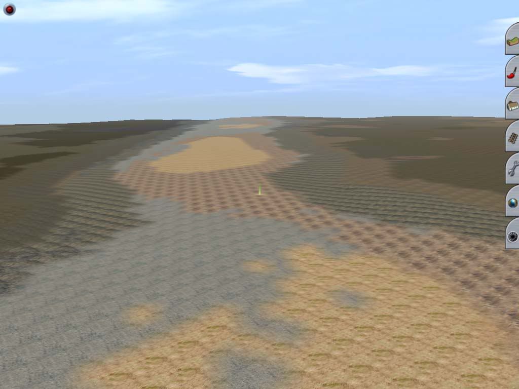
G'Day All, I have created my route using DEM data via hog, I now want to use a basic map to overlay the whole route with, to use as a guide to placing track and roads. I have searched the forum but found nothing that answers what I wish to do. TRS2006.
Regards
Barrie
 
G'day gremlin1812,

I wonder, did you not notice all the references to a program called "MicroDEM" whilst you were researching for the whos and hows of HOG? These two programs go hand in hand (in fact, the one is pretty much useless without the other). MicroDEM will do all that you wish to do here (but you should have done it at the same time you created the DEM for the route with HOG)...

...alternatively, you can always splash out on the mammoth asking price (:hehe:) for a copy of the program called TransDEM, which will do all the tasks both of those aforementioned programs do (and more, besides) in one fell swoop...

Jerker {:)}
 
Last edited:
Honestly, TransDEM is well worth every penny of that "mammoth" cost (also :hehe: as it is really quite cheap.)

If you are serious about route building and want your routes to be as accurate as possible I highly suggest TransDEM.

Also, the author of this wonderful program is also amazing with support. So if you ever get in a bind don't worry. He has great tutorials and always answers emails quickly.
 
G'Day All, Well gentlemen here it is and done without TransDEM (which I have sent off an e mail about it).
This was done with HOG using the TRS2004 texture pack.

Maplayer.jpg


The terrain and texture layers were extracted from old maps, sized and edited in photoshop. The light area with a lot of grey
is the track bed.
Regards
Barrie
 
Last edited:
Back
Top