Install the app
How to install the app on iOS
Follow along with the video below to see how to install our site as a web app on your home screen.
Note: This feature may not be available in some browsers.
You are using an out of date browser. It may not display this or other websites correctly.
You should upgrade or use an alternative browser.
You should upgrade or use an alternative browser.
UK Screenshots (Hi Res Version)
- Thread starter escafeld
- Start date


Well, I already have a few single baseboards that I could upload, done on TRS2012, but I haven't a clue how to go about it, but yes I could up load this route. If someone could PM me the idiot's guide to uploading, I will. Not sure where some of the content came from, but I've mostly used the same stuff to make the search easier. I believe there's a problem with non DLS content. Once known it could be replaced.


Strewth, R3, that's a ruddy coincidence, or did I put the idea in your head? Thanks for the complement, but I like yours very much. I haven't got as far as you might think (see below).
You put the goods shed in the correct place, which I couldn't do because the platform I chose is too wide - Pity LNER CS Base Spline is only one width. Haven't got a suitable arched bridge for Gt Steeping either.
BTW, where can I get the overall roof in pic #4, please?
Regards, Dave
You put the goods shed in the correct place, which I couldn't do because the platform I chose is too wide - Pity LNER CS Base Spline is only one width. Haven't got a suitable arched bridge for Gt Steeping either.
BTW, where can I get the overall roof in pic #4, please?
Regards, Dave


Last edited:


mezzoprezzo
Content appreciator
@drphlox
@rumour3
@escafeld
Nice work guys! Following with great interest. I love seeing old maps evolving into great results in Trainz.
As already mentioned by Dave (escafeld) I guess most UK Trainzers are aware of http://www.old-maps.co.uk/maps.html where you can get some great maps which are usable for historic research, reference and/or basemap images.
Some areas have 1:500 scale historical map coverage. If you’re lucky they will cover the area you are modelling.
What’s good about these 1:500 maps is they show fine details such as benchmarks, spot heights, both rails on each track, turntables, buffers, cranes, station office descriptions and, possibly most important of all, malthouses (those were the days!).
Edit: Just spotted that the exact positions of the turnout levers are also shown!
Here’s an example. Apologies for the rather large image, but reducing it would have detracted from the value of the available detail.
Cheers
Casper
")
Horncastle as shown on the 1888 Town Plan:

@rumour3
@escafeld
Nice work guys! Following with great interest. I love seeing old maps evolving into great results in Trainz.
As already mentioned by Dave (escafeld) I guess most UK Trainzers are aware of http://www.old-maps.co.uk/maps.html where you can get some great maps which are usable for historic research, reference and/or basemap images.
Some areas have 1:500 scale historical map coverage. If you’re lucky they will cover the area you are modelling.
What’s good about these 1:500 maps is they show fine details such as benchmarks, spot heights, both rails on each track, turntables, buffers, cranes, station office descriptions and, possibly most important of all, malthouses (those were the days!).
Edit: Just spotted that the exact positions of the turnout levers are also shown!
Here’s an example. Apologies for the rather large image, but reducing it would have detracted from the value of the available detail.
Cheers
Casper
Horncastle as shown on the 1888 Town Plan:
Last edited:
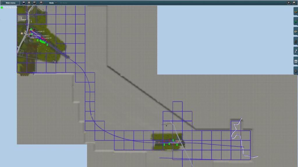
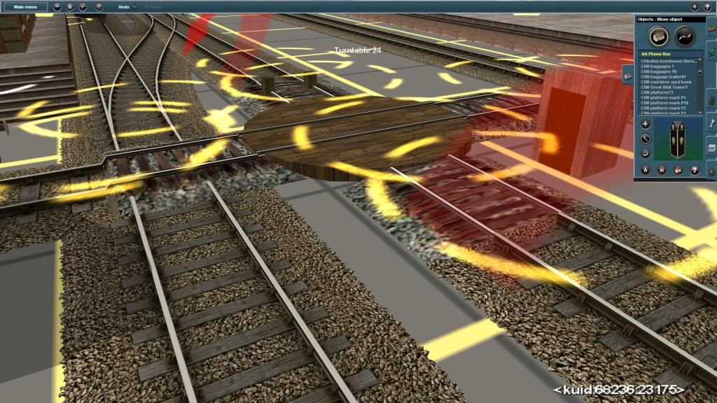
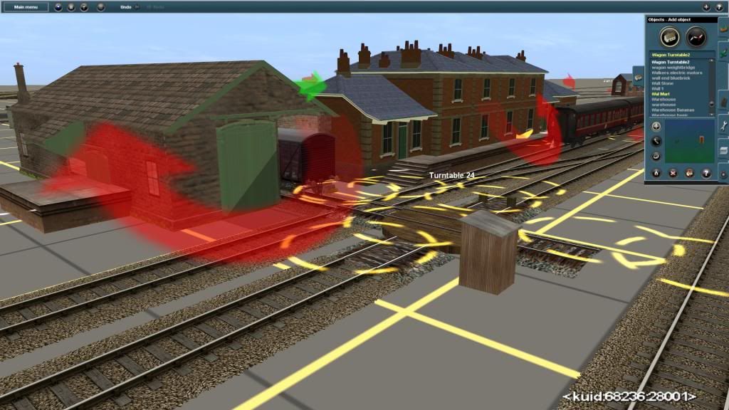
Casper that's great. If only it showed all of it as I'm in the process of reworking it. Thte turntable is a non starter, it's too high and the cabin is on the wrong alignment. Placed as it should be the blocks are in the way. I keep drifting from one project to another to keep from getting bored, but I'd better continue laying track at Bellwater Junction, which is on the way to Boston.


Last edited:

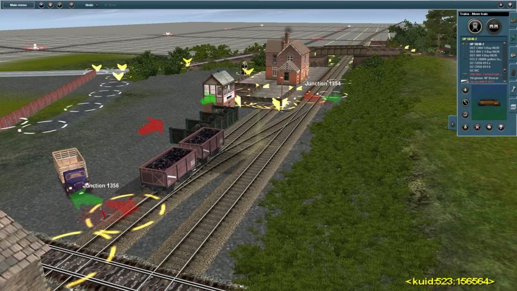
Hi RayRumour3 could you please tell me what the platform face you used for Halton Holgate for the siding next to the buffer stop. Thank you
Ray
The platform face is FMA Old Wall, sunk into the ground, with FMA UK platform level w6 for the surface. Strangely, I have two FMA Old Walls on my machine- KUID:149987:37255 and KUID2:9999:937255:1. Everything I have is from the DLS or built in, so not really sure what's going on here?
R3
3
escafeld, drphlox, mezzoprezzo et al- this seems to be turning into the East Lincs disused railway thread. @escafeld- I started my Spilsby route a while back but have been dealing with (from my perspective) the car crash of SP1 so have only just restored the route from a back up. I think my inspiration was the disused railways website- hadn't realised that it was that close to your home territory. My version started as an experiment to play around with hi-res textures, speedtrees and the best assets I could find, so not really prototypical but good fun to build and run.
@nexusdj- just in case they pass without comment, your shots just get better and better, and really show what Trainz is capable of. Keep 'em coming!
Cheers
R3
. @escafeld- I started my Spilsby route a while back but have been dealing with (from my perspective) the car crash of SP1 so have only just restored the route from a back up. I think my inspiration was the disused railways website- hadn't realised that it was that close to your home territory. My version started as an experiment to play around with hi-res textures, speedtrees and the best assets I could find, so not really prototypical but good fun to build and run.@nexusdj- just in case they pass without comment, your shots just get better and better, and really show what Trainz is capable of. Keep 'em coming!
Cheers
R3
Similar threads
- Replies
- 1
- Views
- 1K
- Replies
- 0
- Views
- 2K