Thinking of finally making prototypical route - Great Eastern Mainline - Tips or help

Davie_UCF

Here since 2001, Trainz!!
I've used Trainz since 1.3 and since then always had the urge to model my local route, the urge comes and goes.

I thought maybe as I have a bit of Summer I might do a bit of a test with the idea.

I'm thinking of doing a test so I don't get overwhelmed, possibly going from Colchester to just Manningtree (7-9mins journey).

What i'd like to achieve with this would be a realistic route from at least the drivers eye. (I've got a drivers eye view of Norwich to London Liverpool street so thats a step in the right direction).. One thing to consider is gradients and the landscape..

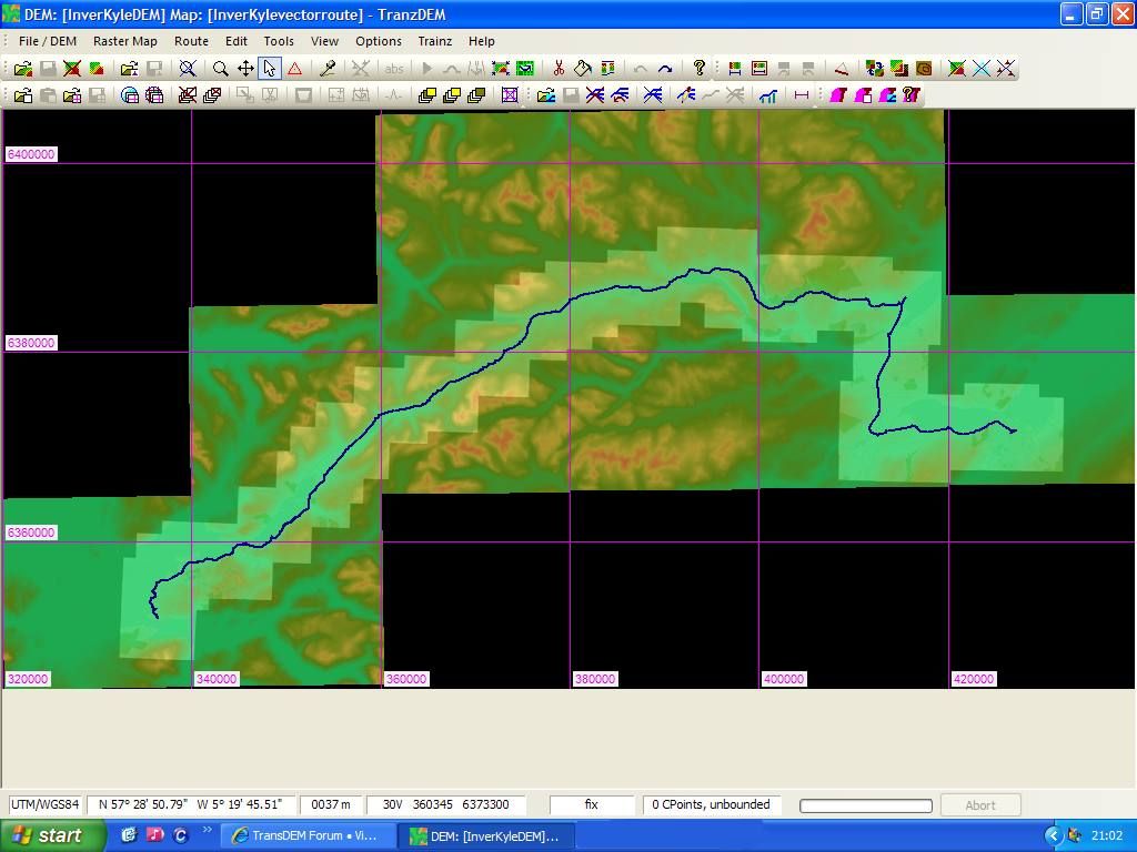
How do people achieve realistic landscapes and gradients? does DEM data help with those?

My main first question then, (As I don't want to make a really long opening post) is HOW and CAN I get DEM data for this route?
(Heres a map of the area shown using driving directions http://maps.google.co.uk/?ll=51.919073,0.981216&spn=0.106935,0.308647&z=12)

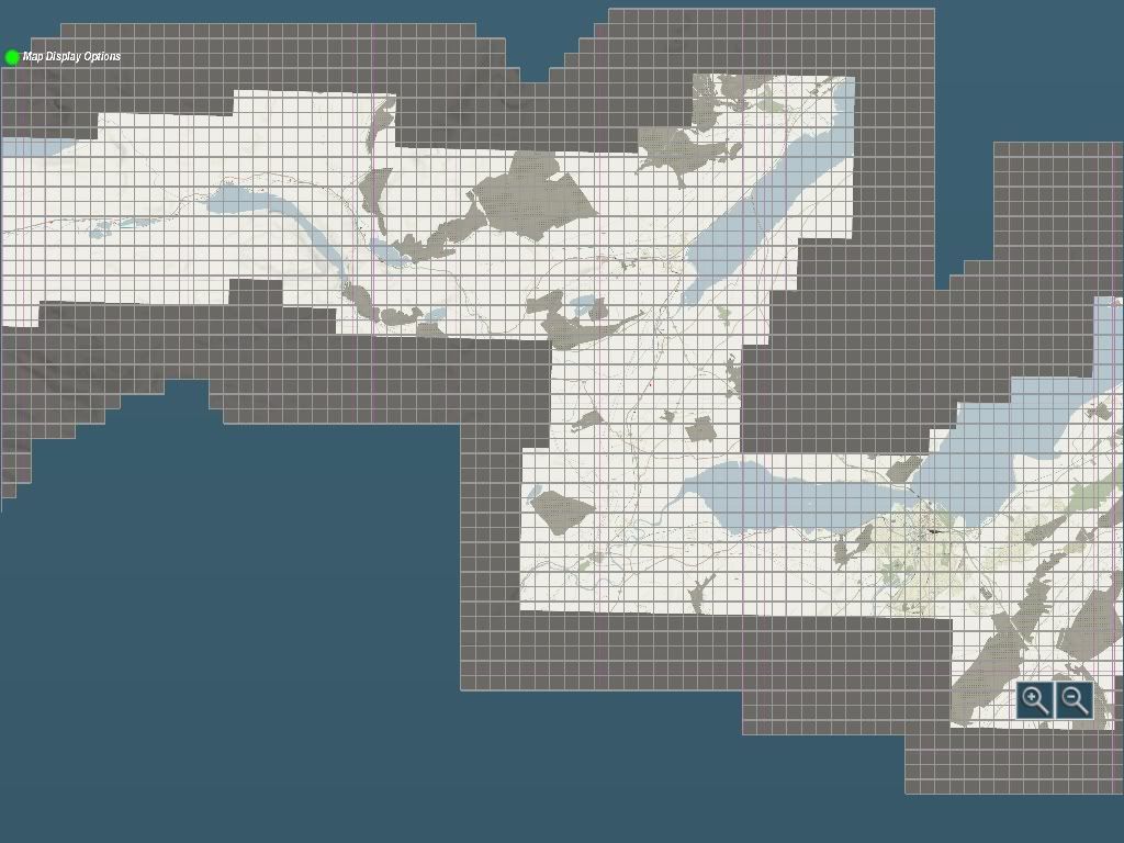
I'm thinking once I have DEM data if pos, then I can use basemaps that are the same size as the grids on ordinance survey maps to get stuff placed properly.. Does this sound right?

Anyway I look forward to help and information on how I can achieve these things!

Thanks
David
 
I'm currently working on Kyle of Lochalsh to Inverness with a high level of details and sticking as closely as possible to the 'real' as possible, based in the mid 1970s.

I've used TransDEM to create the entire map, using the OS vector information which allows TransDEM to add in the track (it does need minor realignment and gradients need corrected). You can see some shots in the UK Screenshot section which will give you an idea of how it progresses from the basic DEM to a complete board.

TransDEM is only 19 quid or so but if you're willing to fork out for it, you can basically recreate any location you like with accurate geodata and as I said, it will add in track so you know where it should go more or less. The geodata is all available for free from the OS but be warned, there is a bit of a learning curve involved with this. If I managed it though...

Cheers.
 
As PFX said Transdem is probably the best way to produce the DEM and I also use it to produce basemaps from Google earth images (which transdem positions correctly in the map) . These are a great help as you can accurately position your trackwork , points , signal gantries , OHLE , platforms , buildings , roads , bridges etc .

Gradients : I use a book by Ian Allan called : BR mainline Gradient profiles , The age of steam , which covers most of the mainlines and some branchlines on the UK mainland . I believe it's currently out of print but there are second hand copies to be found via the net .
The second option would be to try googling it .

Line speeds would easy enough to obtain via the Network Rail Anglia region sectional appendix which is available from :here (last update march 2009)

Signalling would be fairly easy to work out from your cab ride DVD .

Catenary (Mk3 style) north of Colchester is mostly covered by Snowsignals (built-in) and my recent uploads . Colchester itself and north to the flyover is Mk1 style which I'm currently working on a pack :)
 
Last edited:
Thanks for your replies, very useful, seems easier than it sounds to get started... But finishing is the issue :hehe:.

Grades seem the hard point.. So once you have a gradient profile how do you translate that into Trainz with all the spline points which must make it confusing?

I've seen a few gradient profiles in books and I use the gradient tool in Trainz but still how do you link them together so it makes sense? :|

Nexusdj, I believe you've made a few bits of various places like Ipswich, do you create your own scenery for these? as you manage to pull them off looking very much like the real place..

David
 
Not sure how others 'match' gradients from the book to the board.

The routes in the gradient book are marked in miles with the various gradients marked along each mile. The way I do it is to use a 1 mile long train, half a mile of one type of carriage, half a mile of another. Use a garish texture to paint a mark on your baseboard at every mile and half mile and mark each mile with the relevent number.

From this, it's a case of breaking down each mile to correspond with the gradient sections from the book. Sounds very convoluted but I managed to do 80 odd miles in a week with that method.

The hardest thing is keeping going!!!
 
I can't be bothered to use these landscaping programmes or whatever youre talking about. Essex is a fairly flat place and I'm managing the terrain easily (currently creating a route similar to yours).

I've made an accurate model of Chelmsford railway station if you want it :D
 
Without trying these landscaping programs or whatever they are, how would you know? Although Essex is a geographical pancake, there are some gradients and if David wants an accurate representation of these, that's what he really needs to consider.
 
Last edited:
I can't be bothered to use these landscaping programmes or whatever youre talking about. Essex is a fairly flat place and I'm managing the terrain easily (currently creating a route similar to yours).
Whatever approach you take, the moment you start rebuilding a prototypical route in Trainz you will be using some sort of method to copy cartographic data to your Trainz terrain. Your method may be implicit, ad-hoc and driven by intuition alone, but is is a method. Otherwise your route project would be completely fictitious.

What these "landscaping programs" do is not that much different at all. They may use more sophisticated methods than you do, and will apply exact math, but more importantly, they automate the process, obtaining more accurate results than you will ever be able to achieve doing it manually and they will deliver these results much quicker.
 
Nexusdj, I believe you've made a few bits of various places like Ipswich, do you create your own scenery for these? as you manage to pull them off looking very much like the real place..

David

I used to try and find suitable bits of content that had no restrictions on reskinning them (which is time consuming) but now I've got my head around Gmax (almost) I build my own to suit .

Day trips to the Area for taking photo's is the best way especially for those all important textures . In between trains you'll usually find me pointing my camera at platform edges, walls , signalling , catenary etc but be careful not to look like your on a terrorist recce mission !
If it's a dodgy shot I usually get my son to stand so he's in the shot at the side , It looks like I'm simply taking his picture !
I know his height so I can use him as an easy guide to work out any measurements from the pic ;)
 
Thanks for all the replies! again! :)

I used to try and find suitable bits of content that had no restrictions on reskinning them (which is time consuming) but now I've got my head around Gmax (almost) I build my own to suit .

Day trips to the Area for taking photo's is the best way especially for those all important textures . In between trains you'll usually find me pointing my camera at platform edges, walls , signalling , catenary etc but be careful not to look like your on a terrorist recce mission !
If it's a dodgy shot I usually get my son to stand so he's in the shot at the side , It looks like I'm simply taking his picture !
I know his height so I can use him as an easy guide to work out any measurements from the pic ;)

Ah I tried to get my head around Gmax years ago. I may have to again if I get into this, as realism is what i'm after, not just a route that is based on somewhere, but regconisable stations.. Much like what you manage to achieve in your shots :) Did you do many areas on the GEML? I only recall Ipswich because I noticed it so quickly and it was stunning :)

I can't be bothered to use these landscaping programmes or whatever youre talking about. Essex is a fairly flat place and I'm managing the terrain easily (currently creating a route similar to yours).

I've made an accurate model of Chelmsford railway station if you want it :D

As otheres have said, I want to start off well and make sure I have the best chance of making it as true to life as possible, not exactly with each tree and house but with the gradients and trackside areas giving a near realistic drivers eye view comparable to the real thing.

Gradients are the main thing here.. and what seem the hardest to nail.

Drop me an email, I can send you a set of scans of gradient profiles for GEML.

Rob

Cheers Rob, will drop you a message when/if I get started (TS12 just arrived at the door so might be soon :p)

Not sure how others 'match' gradients from the book to the board.

The routes in the gradient book are marked in miles with the various gradients marked along each mile. The way I do it is to use a 1 mile long train, half a mile of one type of carriage, half a mile of another. Use a garish texture to paint a mark on your baseboard at every mile and half mile and mark each mile with the relevent number.

From this, it's a case of breaking down each mile to correspond with the gradient sections from the book. Sounds very convoluted but I managed to do 80 odd miles in a week with that method.

The hardest thing is keeping going!!!

This is the most worrying and important aspect for me. Your method sounds like it works yet I wish there were an easier way. I half understand but translating the gradient profile into Trainz grades is what I don't understand.. Do you know of any guide or post somewhere about this?

Cheers all :)
 
Ah another thing, sorry to double post all.

About Transdem.

Is there anyway I can try out the program first? Or be cheeky and have a look at someone elses results after using it?

I'm sure its worth the money considering the power of the tool, however I have no experience of using DEM data or doing a prototypical route (properly) so not sure if I would even use it yet.

Also my plan has changed slightly, as a test I think I am going to do Sudbury to Marks Tey and Marks Tey on to Colchester. I suppose you cannot merge DEM routes so I could not just have this small section then add more, I would have to have the whole route in Trainz?

Thanks again
David
 
Hi David.

Fear not about converting gradients to Trainz. It's a POP http://www.trainman.id.au/grade.htm

Here is an idea of what TransDEM does and how you take it from there.

This
route.jpg


Becomes this.
pfx_20110414_0003.jpg


Which looks like this before you start twiddling with it.
pfx_20110211_0001.jpg


pfx_20110213_0000.jpg


pfx_20110211_0003.jpg


Here's a bit of side by side raw and complete terrain.
pfx_20110421_0001.jpg


Hope that's some help for you mate.

Cheers,
Innis
 
Ah thats usefull!

The textures it applies, are they normal textures?
Looks like it sortof creates basemap type images but actually on the terrain, not as scenery items, which is useful.

....And thanks for the link, I've used that before many ages ago, but it didn't occur to me!

Hows the quality of UK DEM? and is it free?
 
David, TransDEM uses a few custom textures to apply the data direct to the baseboards like a 3D printed map. You can then use the replace tool to put in your own textures.

The UK DEM data is fine. I managed to apply the protoypical gradients for the entire 80 miles (with one or two small tweaks). The map data is all free from here http://www.ordnancesurvey.co.uk/oswebsite/products/os-opendata.html

Thanks again. Seems great.

The one thing I need to sort before attempting is to learn how to use Blender or gmax. I tried Blender but got lost. I'm itching to create a route but want it to have some accurate models like station buildings or signs...

If i could find someone to work with it would be great but that would probably be harder than learning myself.. To find someone at least :p

I suppose i'll try Blender again, seems to be reccomended over Gmax.

David
 
Back
Top